Calaveras Lake
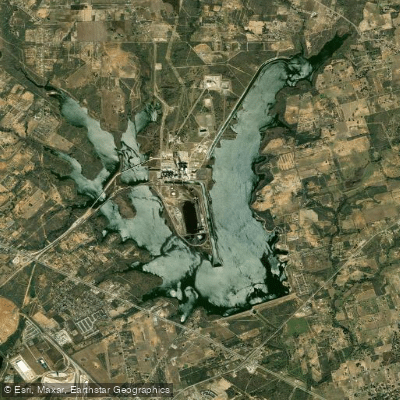
Calaveras Lake
- Boat Ramps
- 2
- Access Points
- 3
- Campsites
- 0
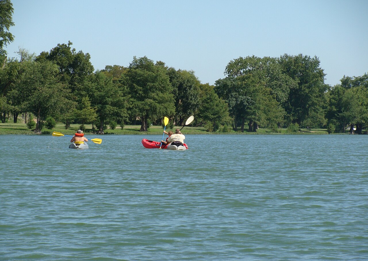
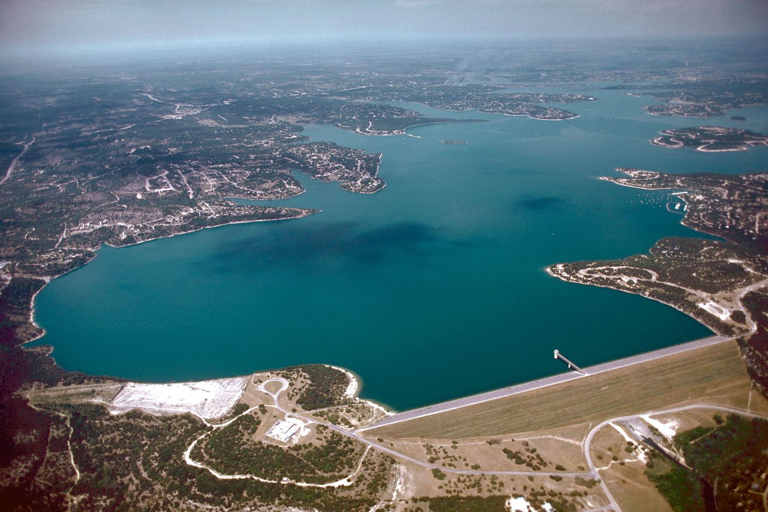
Calaveras Lake is a 3,624-acre reservoir located 20 miles south of San Antonio, Texas. The lake offers year-round paddling opportunities, with water levels typically fluctuating only 1-2 feet between summer and winter. Paddlers can access the lake via Calaveras Park, which provides boat ramps and good shoreline access.
The lake is known for its unique freshwater population of red drum, typically a saltwater species. Other fish species include channel catfish, hybrid striped bass, and largemouth bass. Paddlers may spot wildlife along the shoreline, which is lined with cattails and bulrushes. The lake's water is generally moderately stained.
Calaveras Lake's peak paddling season runs from March through August, coinciding with the best fishing periods. Spring (March-May) offers optimal conditions for observing fish activity in shallow waters. Summer water levels reach 485.0 feet above mean sea level, while winter levels drop slightly to 484.0 feet.
The lake features some structural elements that paddlers should be aware of, including rock rip-rap along the dam, intake canal, and portions of the shoreline. These areas can provide interesting paddling routes and fishing spots.
Calaveras Park offers amenities such as camping sites, picnic areas, and RV hookups. Paddlers should note that entrance and camping fees apply. The park is managed by Thousand Trails Management Services, and visitors can call (210) 635-8359 for more information or to reserve campsites.
Paddlers should be aware of potential boat traffic, especially during peak fishing seasons. While the lake is open to paddling, it's primarily known as a fishing destination, so kayakers and canoeists should exercise caution and be visible to other watercraft.
Water access, boat ramps & amenities
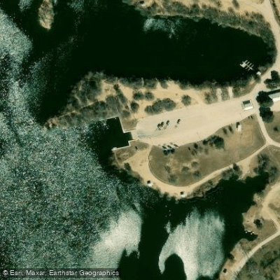
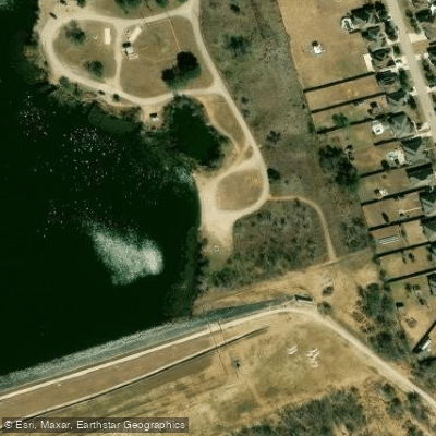
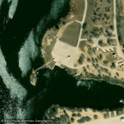
Learn how to get on Calaveras Lake. Uncover great paddling access points, boat ramps, and all the facilities you need for an unforgettable day on the water. Some locations shown may border or include private property. Always check property boundaries and applicable regulations before visiting. PaddleWays's Public & Private Land layer can help you plan your access with confidence.
Paddle smarter with real-time insights
Whether you're en route and conditions shift or you're looking for the best spot based on current flows, we enable you to make informed decisions on the fly.








Find Places to Paddle

Over 400,000 Places to Paddle
Every user gets free access to launch points, boat ramps, and public property parcels.


Water and weather conditions (10 day forecast)
See the best times to paddle Calaveras Lake and check the forecast before you go.
No forecast data available.
Paddling near Calaveras Lake
Explore Texas waters
Top paddling waters
Popular Cities
Loading popular cities...
Explore near Calaveras Lake

Smarter Paddling Starts in the App.
Paddleways gives you everything you need to plan smarter, paddle better, and own every trip from first launch to takeout.