Rockport Lake
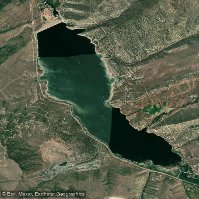
Rockport Lake
- Boat Ramps
- 2
- Access Points
- 2
- Campsites
- 5
Rockport Lake, located in Utah's high country, offers paddlers a scenic and accessible destination for day trips and extended stays. The reservoir, formed by the Wanship Dam on the Weber River, spans approximately 3 miles in length and half a mile in width, covering over 500 acres at an elevation exceeding 6,000 feet.
The lake is situated in an arid juniper-grassland landscape, providing a striking contrast between the blue waters and surrounding foothills. Paddlers can enjoy views of the Wasatch Mountains to the east, adding to the lake's visual appeal.
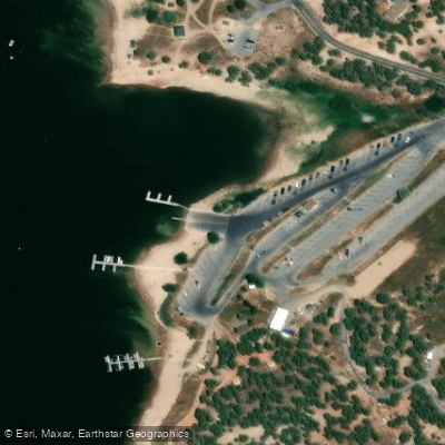
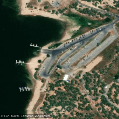
Summer is the prime season for paddling on Rockport Lake, with the park's amenities fully operational from May through October. The marina serves as the main access point, offering boat ramps, kayak and paddleboard rentals, and other facilities for paddlers. Multiple campgrounds around the lake provide opportunities for overnight stays, though they can fill up quickly during peak season.
Wildlife enthusiasts may spot various species inhabiting the area, including mule deer, chipmunks, jackrabbits, and various bird species. While larger mammals like elk and moose are present in the region, they are rarely seen near the lake.
Rockport Lake accommodates a range of watercraft, from motorboats to canoes and kayaks. Paddlers should be aware of potential boat traffic, especially during busy summer weekends. The lake's relatively calm waters make it suitable for paddlers of various skill levels, though wind conditions can change throughout the day.
For those seeking a more challenging paddling experience, the nearby Weber River offers class III rapids, providing an alternative to flatwater paddling.
Rockport State Park, which encompasses the lake, is open year-round, though winter activities shift to ice fishing and access to nearby snowmobile trails. The park gates are open from 6 a.m. to 11 p.m. daily, allowing for early morning or evening paddles during the warmer months.
Water access, boat ramps & amenities
Learn how to get on Rockport Lake. Uncover great paddling access points, boat ramps, and all the facilities you need for an unforgettable day on the water. Some locations shown may border or include private property. Always check property boundaries and applicable regulations before visiting. PaddleWays's Public & Private Land layer can help you plan your access with confidence.
Paddle smarter with real-time insights
Whether you're en route and conditions shift or you're looking for the best spot based on current flows, we enable you to make informed decisions on the fly.








Find Places to Paddle

Over 400,000 Places to Paddle
Every user gets free access to launch points, boat ramps, and public property parcels.


Water and weather conditions (10 day forecast)
See the best times to paddle Rockport Lake and check the forecast before you go.
WEBER RIVER NEAR PEOA, UTAH
All Flow Stations
Paddling near Rockport Lake
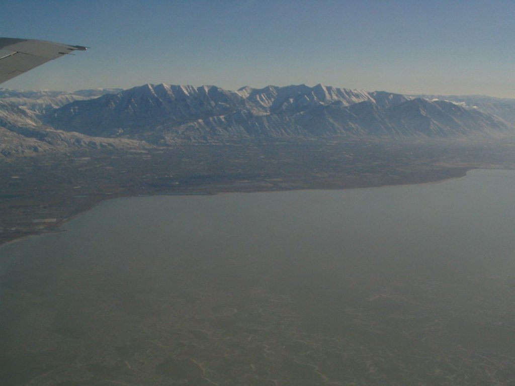
Utah Lake
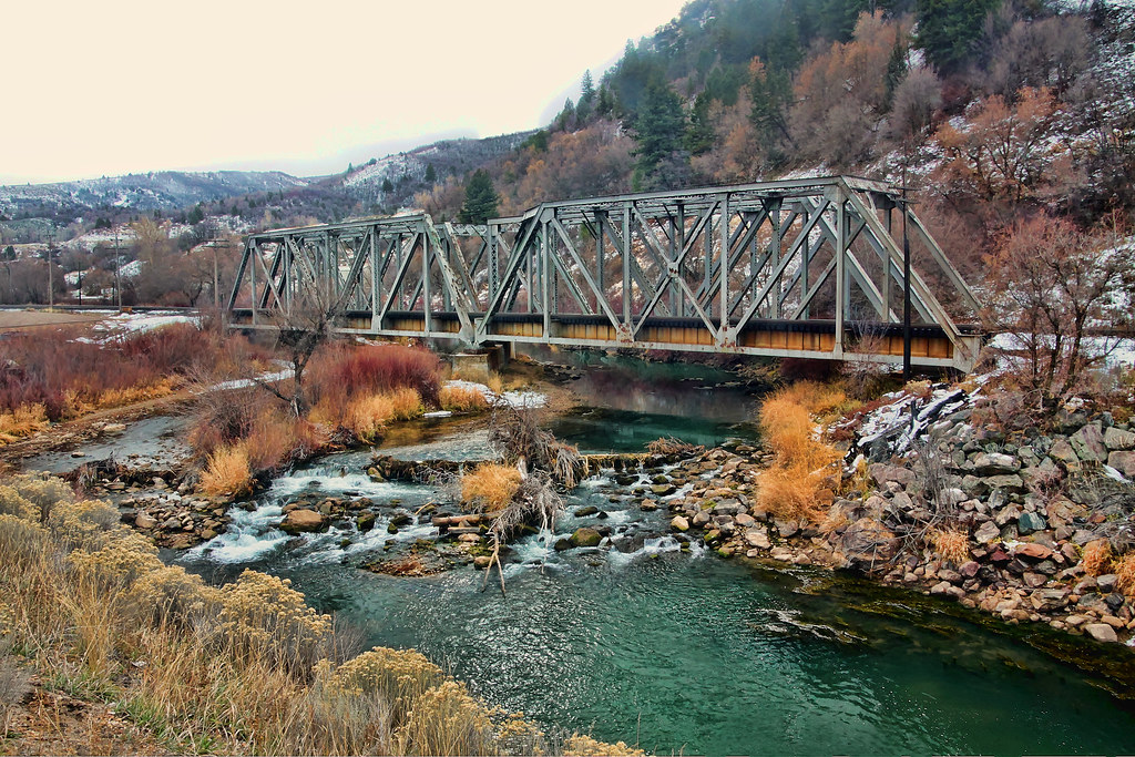
Weber River
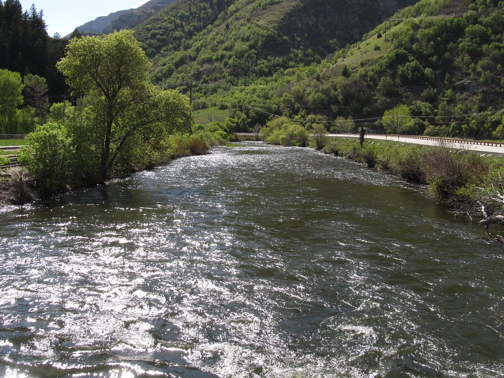
Provo River
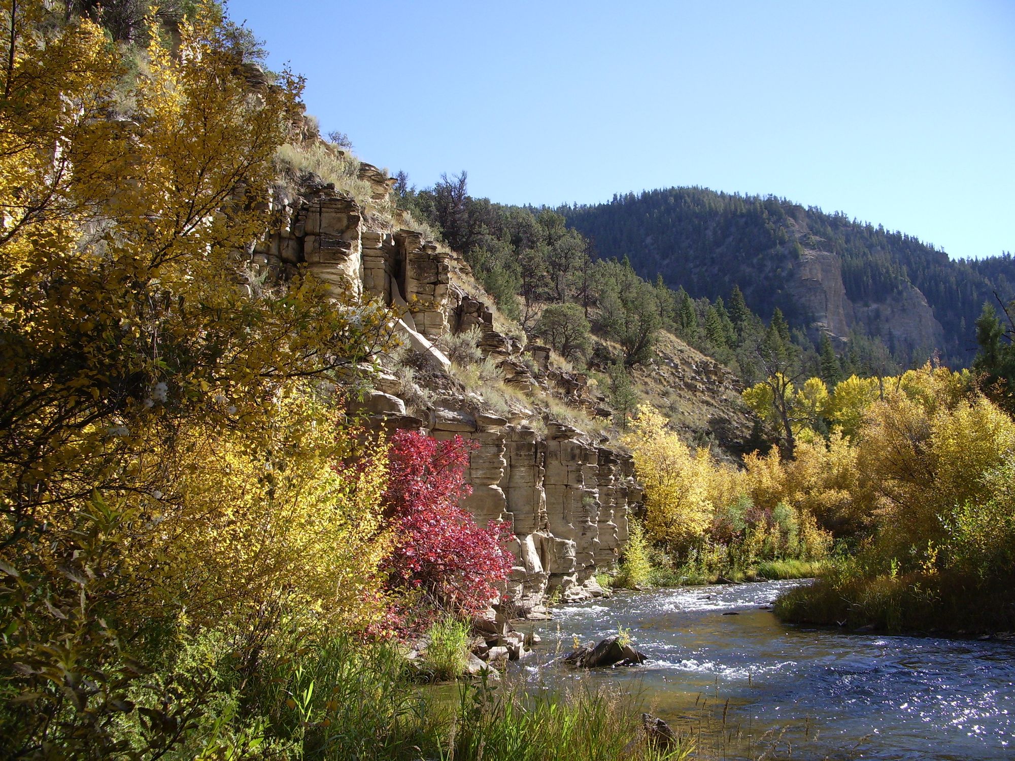
Strawberry River
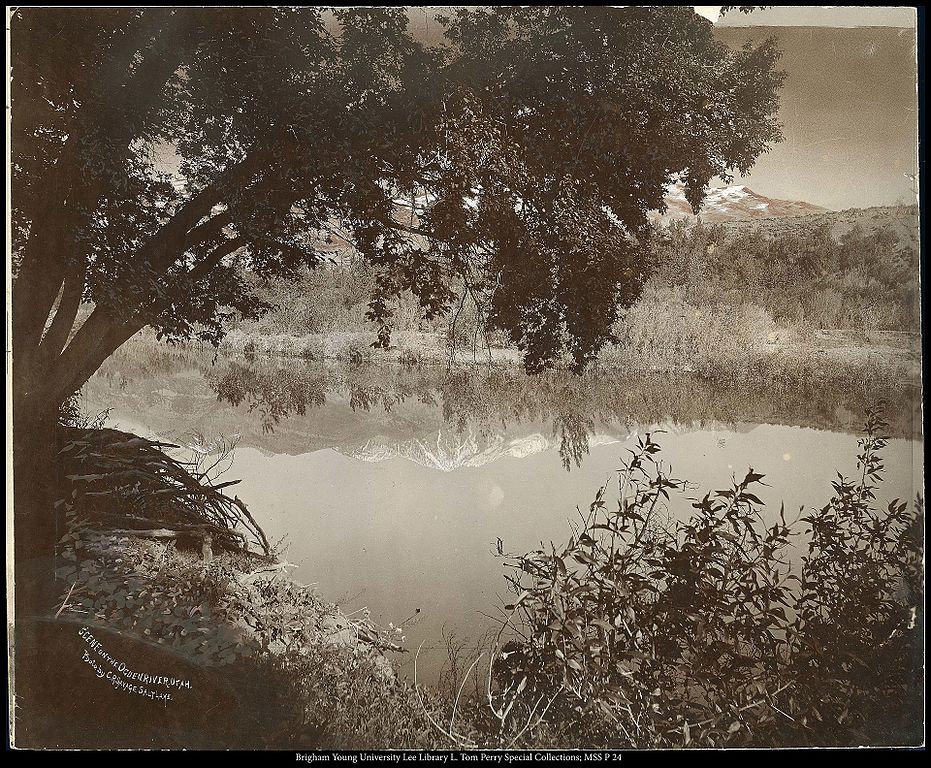
Ogden River
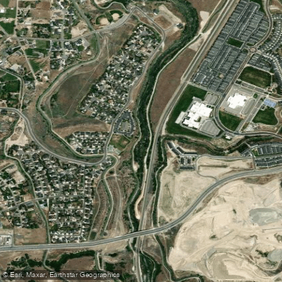
Jordan River
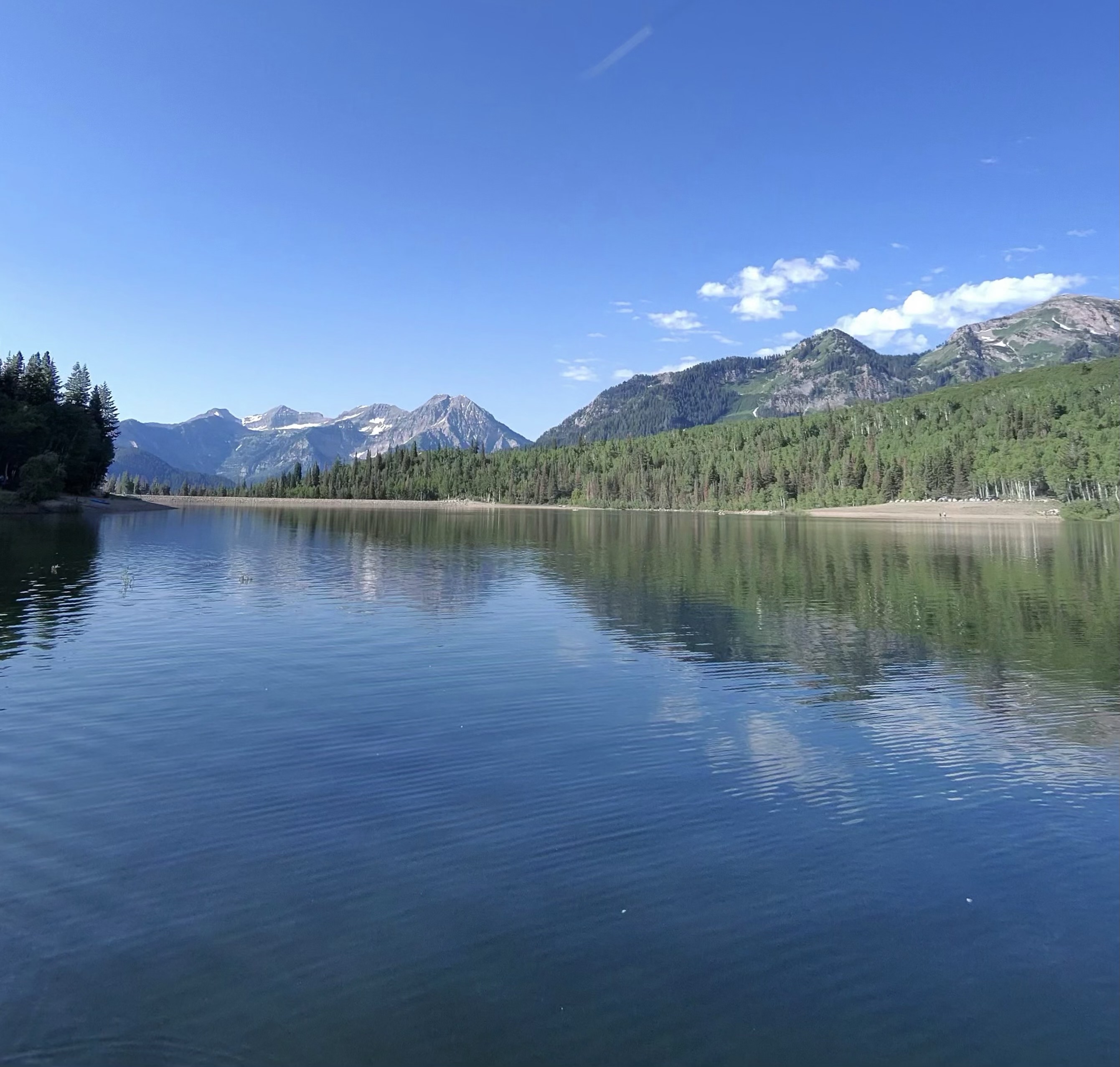
Silver Lake Flat Reservoir
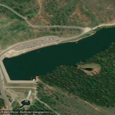
Tibble Fork Reservoir
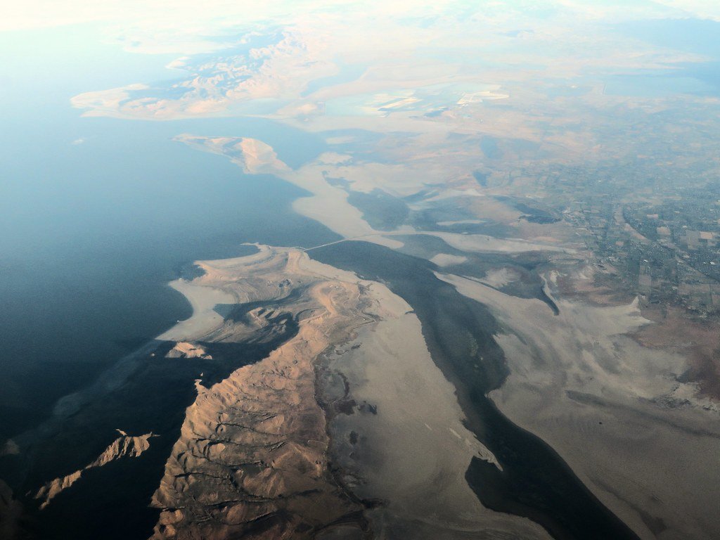
Great Salt Lake
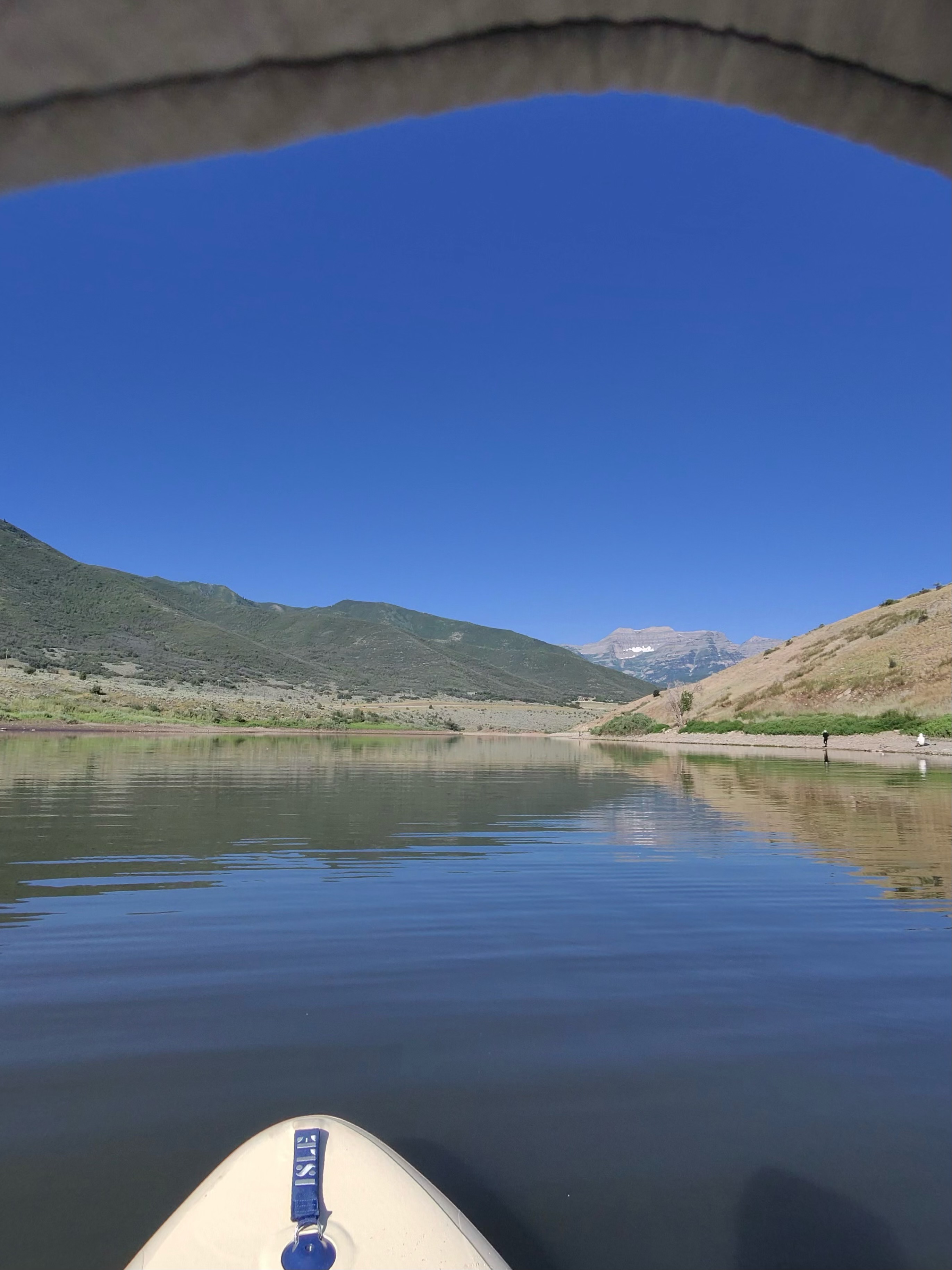
Deer Creek Reservoir
Explore Utah waters
Top paddling waters
Popular Cities
Loading popular cities...
Explore near Rockport Lake
Access points
Nearby waters
More in Utah

Smarter Paddling Starts in the App.
Paddleways gives you everything you need to plan smarter, paddle better, and own every trip from first launch to takeout.