Curated by PaddleWays
RouteClass III
- Distance
- 2.9 mi
- Paddle time
- ~0.5 hrs
- Best for
- Experienced paddlers
- Put-in → take-out
- Morse Hollow Road Access → East Poultney Access
The Poultney River is a scenic waterway that meanders for approximately 40 miles through west-central Vermont and eastern New York, forming part of the border between the two states before emptying into the southern end of Lake Champlain. Originating from a mountain spring in Tinmouth, Vermont, this river offers paddlers a diverse range of experiences, from challenging whitewater to serene flatwater sections.
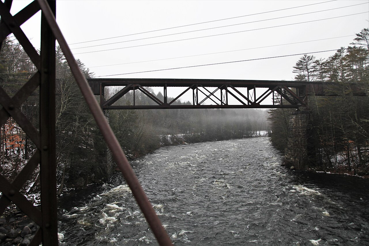
The river can be divided into three main paddling sections, each with its own character. The Upper Poultney, running from Morse Hollow Road to Deep Rock, is a challenging 3.5-mile stretch rated as Class III+. This section is best suited for experienced whitewater kayakers and offers a thrilling ride through a series of technical rapids.
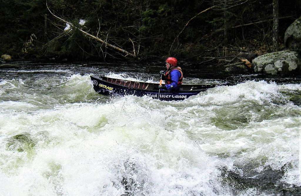
The middle section, often referred to as the Whitewater Section, runs from US Route 4 near Fair Haven to Carver Falls Dam. This 4.5-mile stretch is a popular Class III-IV run that provides paddlers with an exciting adventure through Vermont's scenic landscape. The run features a variety of whitewater obstacles that require skill and experience to navigate safely.
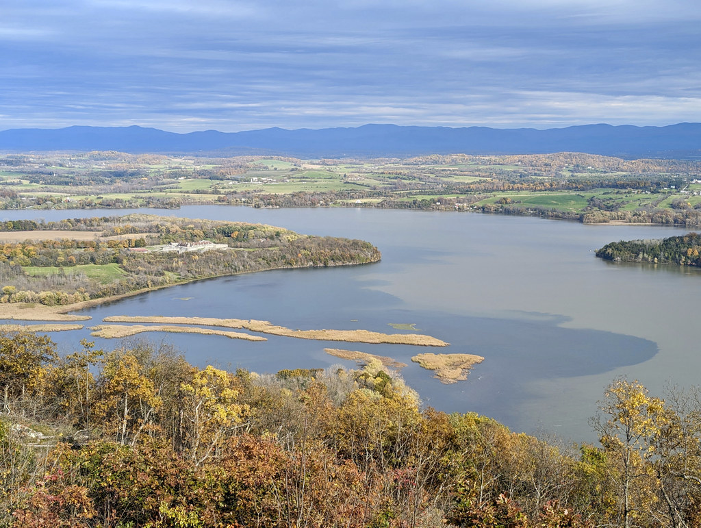
The Lower Poultney River, stretching from the Book Road Bridge to Lake Champlain, offers a completely different paddling experience. This section is primarily flatwater to Class I, making it ideal for canoeists, kayakers, and stand-up paddleboarders of all skill levels. The lower section is known for its ecological diversity and natural beauty, featuring nearly 20 miles of undeveloped shoreline.
Spring is typically the best time to paddle the Poultney, especially for the whitewater sections, as snowmelt and spring rains provide optimal water levels. However, paddlers should always check water levels before attempting any run, wear appropriate safety gear, and possess the necessary skills for the section they're paddling. The lower section can be enjoyed throughout summer and fall, offering a peaceful escape into nature.
The river is renowned for its freshwater mussel populations, boasting the greatest diversity of any river in Vermont. Paddlers may also encounter a variety of bird species and other wildlife along the shoreline. The undeveloped nature of much of the river corridor provides excellent opportunities for nature observation.
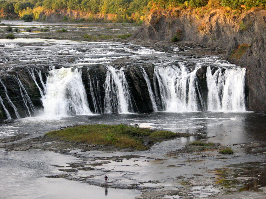
Notable landmarks include the Carver Falls Dam, which marks the end of the whitewater section, and the river's confluence with Lake Champlain. The towns of Poultney and Fair Haven serve as primary access points for different sections of the river.
Historically, the Poultney River played a significant role in the region's development. Local histories mention that during the American Revolution, Hessian soldiers traveled by boat up the river to near the foot of Carver Falls, highlighting its importance as a transportation route.
The Lower Poultney River has been designated as an Outstanding Resource Water by the State of Vermont, which may come with specific regulations to protect its ecological integrity.
While multi-day trips are less common on the Poultney due to its length, paddlers often combine different sections for a full day of varied paddling experiences. The combination of challenging whitewater in the upper sections and peaceful flatwater in the lower reach makes the Poultney River a versatile and rewarding destination for paddlers of all interests and skill levels.
Curated routes
Hand-picked by the PaddleWays team, with put-ins, take-outs, paddle times and the hazards along the way.
RouteClass III
RouteClass III–IV
Hazards
No paddler has reported a hazard here yet, so these are the dams, falls and big rapids on our map. Hazards change with flows and storms, so check them before you launch.
From the community
Nobody has shared a trip on Poultney River yet. Paddle it, then tell the next paddler how it went.
See exactly where the public can get on and off the river. Launch points and boat ramps are paired with PaddleWays' public land data so you know where you can legally land.
Public shoreline
6%of the river's shoreline is public
Most of the riverbank is private. Launch, land and camp only at public access points.
Flows, weather and a route-by-route verdict, so you know which stretch of the Poultney River is worth paddling today.
Live flows, marked hazards and fresh trip reports from paddlers who were just on the water, all in one place.





Every user gets free access to launch points, boat ramps, and public property parcels.


Loading popular cities...
PaddleWays gives you everything you need to plan smarter, paddle better, and own every trip from first launch to takeout.