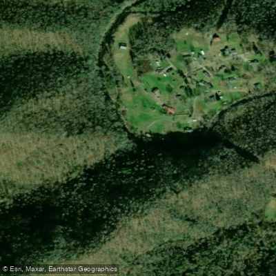
Curated by PaddleWays
RouteClass III–IV
- Distance
- 4.2 mi
- Paddle time
- ~1 hr
- Best for
- Experienced paddlers
- Put-in → take-out
- Dry Creek Access → Sundial Access
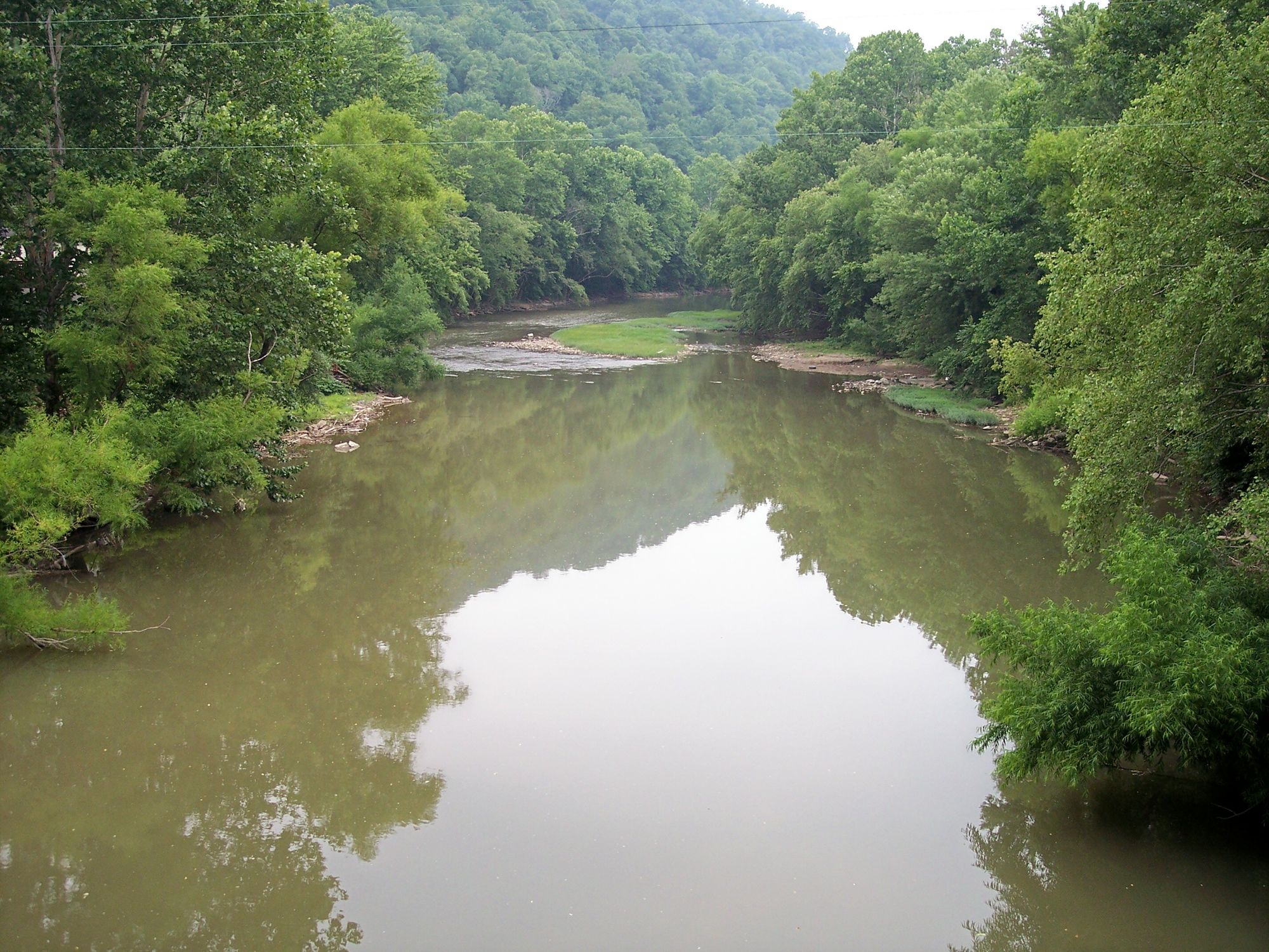
Marsh Fork originates in the mountains of Raleigh County, West Virginia, flowing northward through rugged Appalachian terrain before joining with Clear Fork near Whitesville to form the Big Coal River. This tributary system drains a significant portion of southern West Virginia's coalfield region, carving through steep-sided valleys characteristic of the Allegheny Plateau. The river flows approximately 30 miles through Raleigh County, descending through a landscape marked by mixed hardwood forests, sandstone outcrops, and remnants of the region's coal mining heritage. The watershed encompasses numerous smaller tributaries including Peachtree Creek, Horse Creek, and several named branches that feed the main stem.
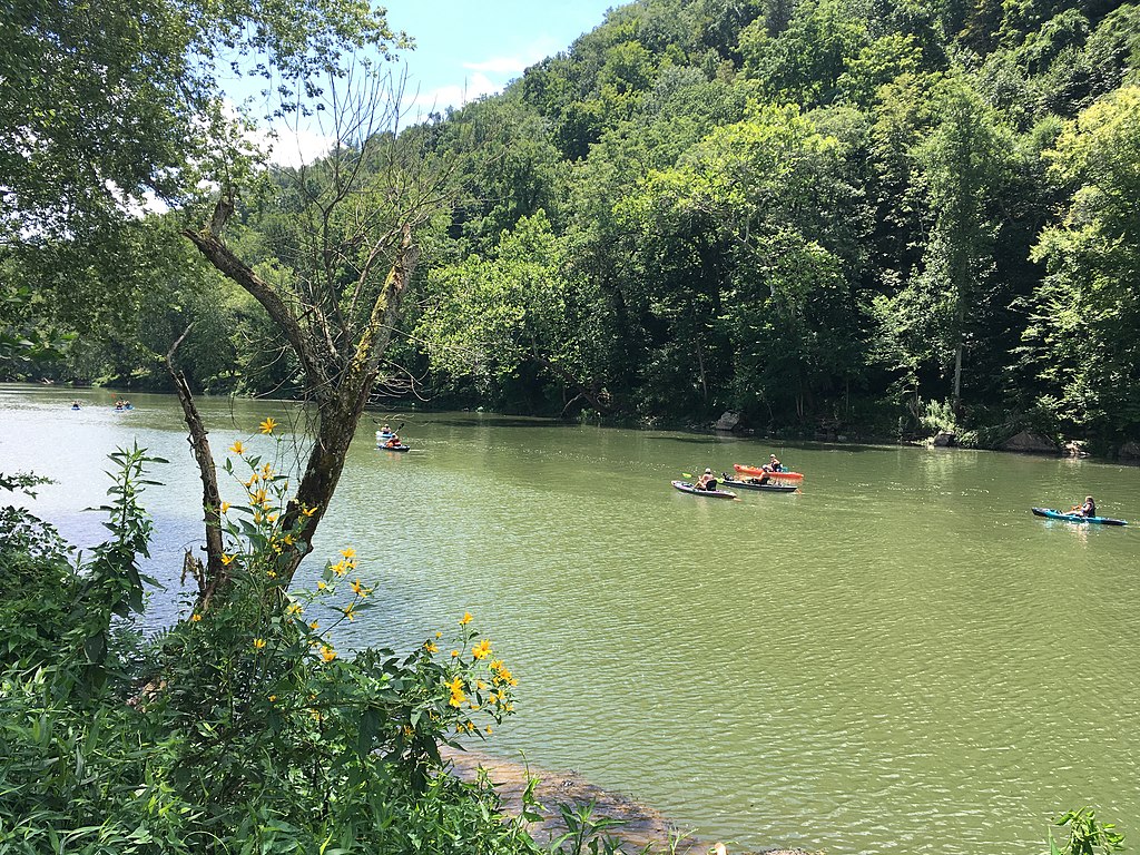
Paddling opportunities on Marsh Fork are limited and highly seasonal. The river is generally too shallow for recreational boating during summer and fall months, but spring runoff and periods following substantial rainfall can create navigable conditions for experienced whitewater paddlers. The gradient is steep in upper sections, producing technical Class II-III rapids during adequate flows. The middle and lower sections moderate somewhat but maintain continuous boulder gardens and ledges that demand solid boat control. Water quality concerns related to historical mining activities have affected portions of the watershed, though remediation efforts continue.
The West Virginia Division of Natural Resources stocks trout in Marsh Fork during cooler months, making it a destination for anglers from February through May. Brook trout, rainbow trout, and brown trout are introduced to supplement the native smallmouth bass and rock bass populations.
Access points are scattered along State Route 3 and various county roads that parallel the river through communities like Odd, Marsh Fork, and Mabscott. The town of Beckley, the Raleigh County seat, lies approximately 10 miles east of the river's middle reaches and serves as the primary hub for supplies and services.
The Marsh Fork valley witnessed intensive coal extraction throughout the 20th century, with numerous mining operations leaving lasting impacts on the landscape. Abandoned tipples, rail grades, and company towns mark the corridor, telling the story of Appalachian coal culture. Several controversies regarding mountaintop removal mining and coal slurry impoundments have brought national attention to this watershed in recent decades.
Paddlers should exercise extreme caution regarding water quality, particularly after heavy rains when runoff may carry contaminants. No established put-ins or take-outs exist specifically for recreational boating. The remote nature of much of the valley means self-rescue capability is essential, as assistance may be hours away in emergency situations.
Curated routes
Hand-picked by the PaddleWays team, with put-ins, take-outs, paddle times and the hazards along the way.
RouteClass III–IV
RouteClass II
RouteClass I–II
Hazards
No hazards are marked on Marsh Fork yet. That is not the same as none being there: if you find one, report it for the next paddler.
From the community
Nobody has shared a trip on Marsh Fork yet. Paddle it, then tell the next paddler how it went.
See exactly where the public can get on and off the river. Launch points and boat ramps are paired with PaddleWays' public land data so you know where you can legally land.
Public shoreline
0%of the river's shoreline is public
Most of the riverbank is private. Launch, land and camp only at public access points.
Flows, weather and a route-by-route verdict, so you know which stretch of the Marsh Fork is worth paddling today.
No forecast data available.
Live flows, marked hazards and fresh trip reports from paddlers who were just on the water, all in one place.





Every user gets free access to launch points, boat ramps, and public property parcels.
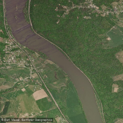

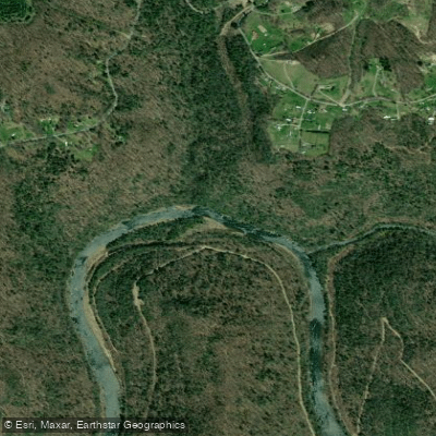
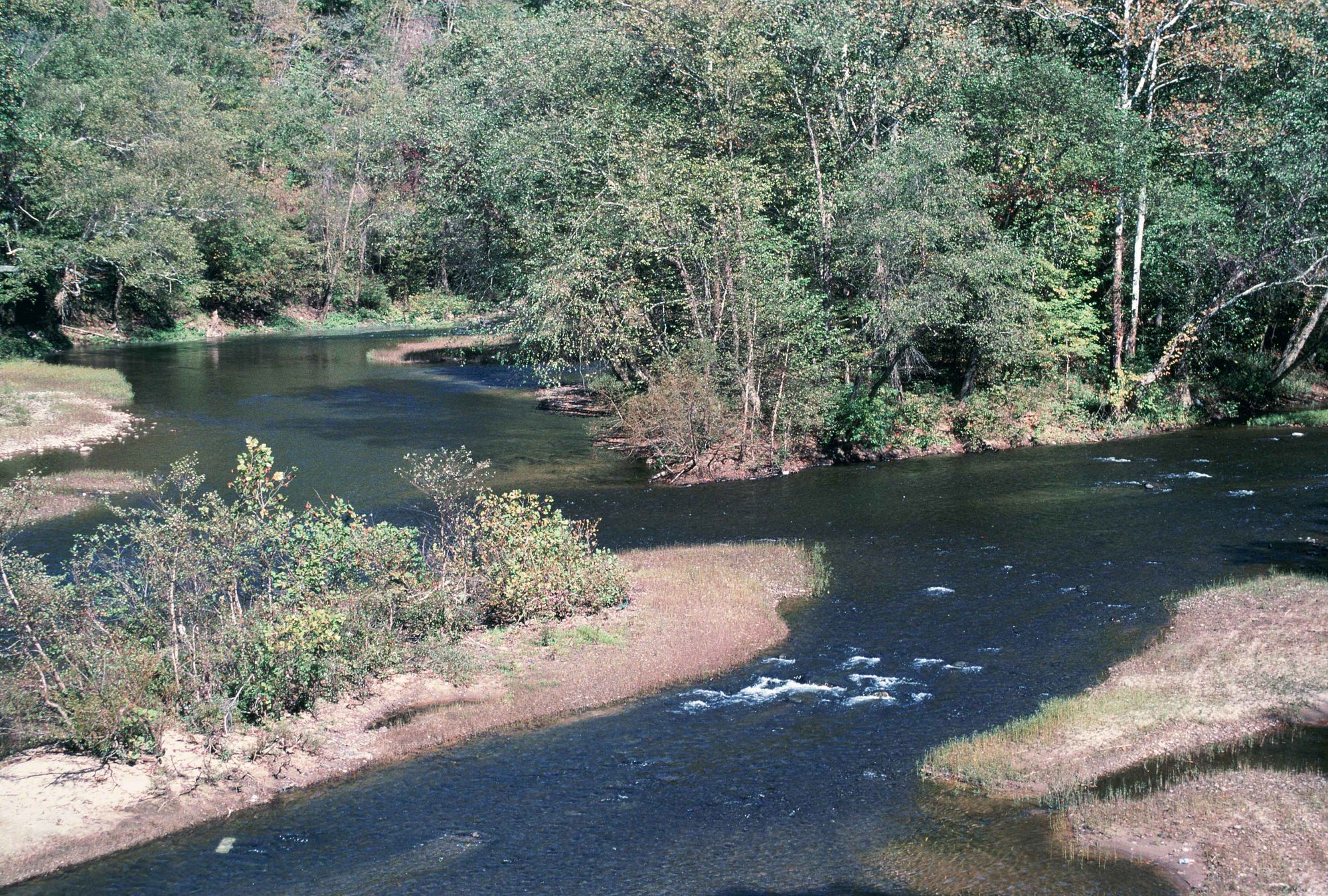
Loading popular cities...
PaddleWays gives you everything you need to plan smarter, paddle better, and own every trip from first launch to takeout.