Curated by PaddleWays
Arnett to Dry Creek
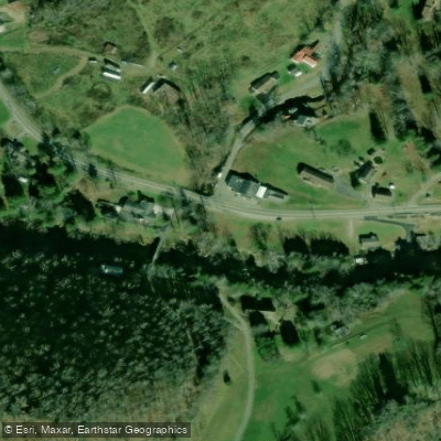
on Marsh Fork · take-out here
RouteClass II
- Distance
- 6.6 mi
- Paddle time
- ~1.5 hrs
- Best for
- Intermediate paddlers
- Put-in → take-out
- Arnett Access → Dry Creek Access
Access Site
Explore the wonders of Marsh Fork! Find excellent paddling spots, easy access to boat ramps, and all the amenities you need for a memorable day by the water. Your adventure starts here.
Curated routes
Hand-picked by the PaddleWays team, with put-ins, take-outs and paddle times. Levels are read from live gauges.
on Marsh Fork · take-out here
RouteClass II
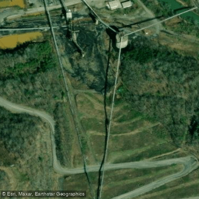
on Marsh Fork · put-in here
RouteClass III–IV
Check the forecast at Dry Creek Access before you go paddling.
No forecast data available.

No waters available right now.
Loading popular cities...
PaddleWays gives you everything you need to plan smarter, paddle better, and own every trip from first launch to takeout.
