Curated by PaddleWays
RouteClass I–II
- Distance
- 8.1 mi
- Paddle time
- ~2.5 hrs
- Best for
- Intermediate paddlers
- Put-in → take-out
- Burner Access → Durbin Access
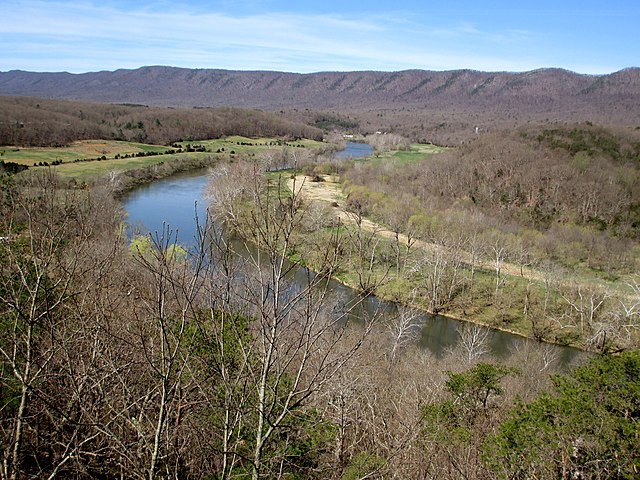
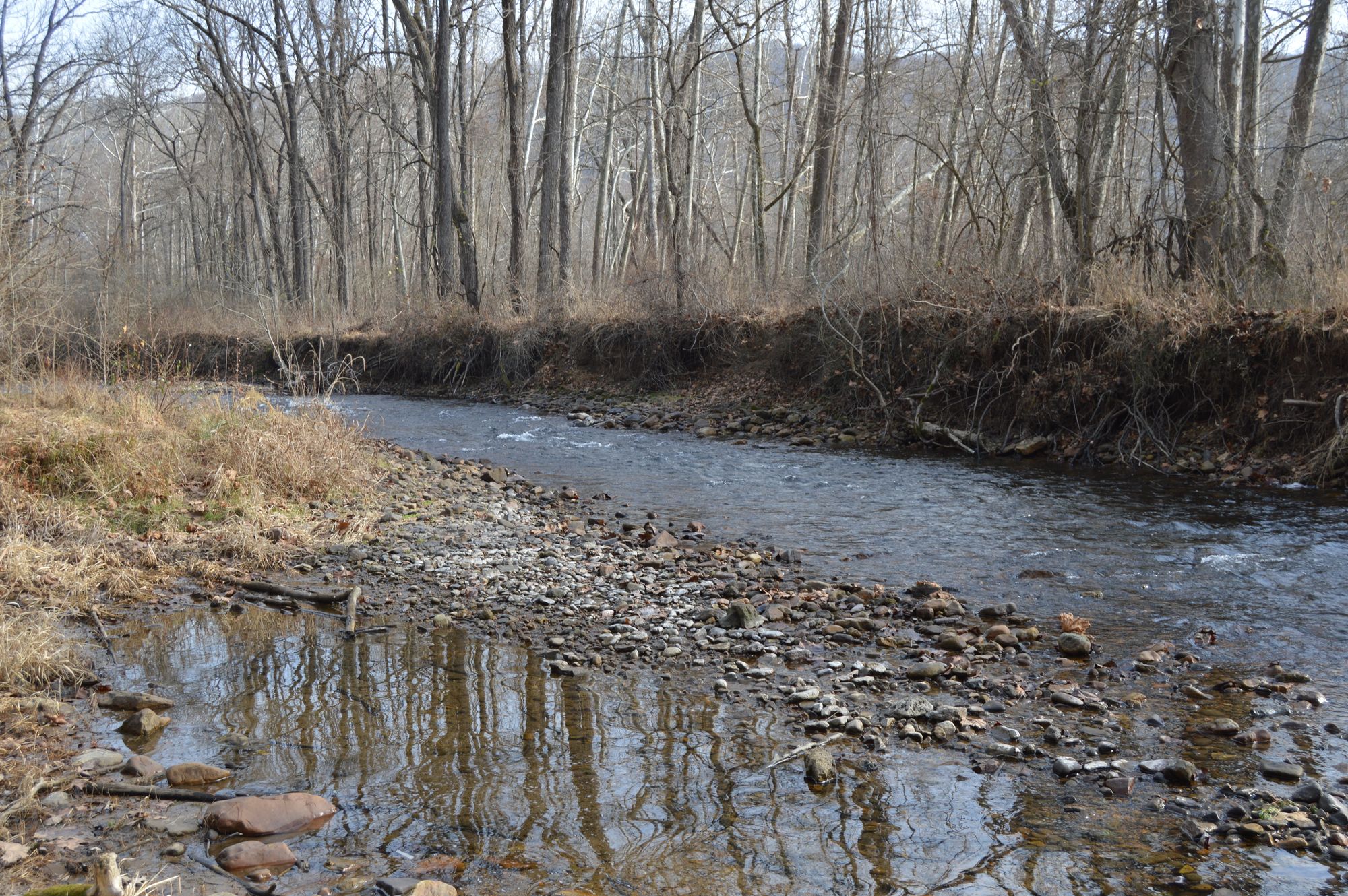
The West Fork Greenbrier River originates in the high mountains of eastern West Virginia's Pocahontas County, rising at elevations exceeding 3,300 feet in the Monongahela National Forest. This short but spirited tributary flows through rugged mountain terrain before joining the East Fork at Durbin to form the main stem of the Greenbrier River. Despite its relatively brief length, the West Fork carves through some of the most remote and pristine wilderness in the Mountain State.
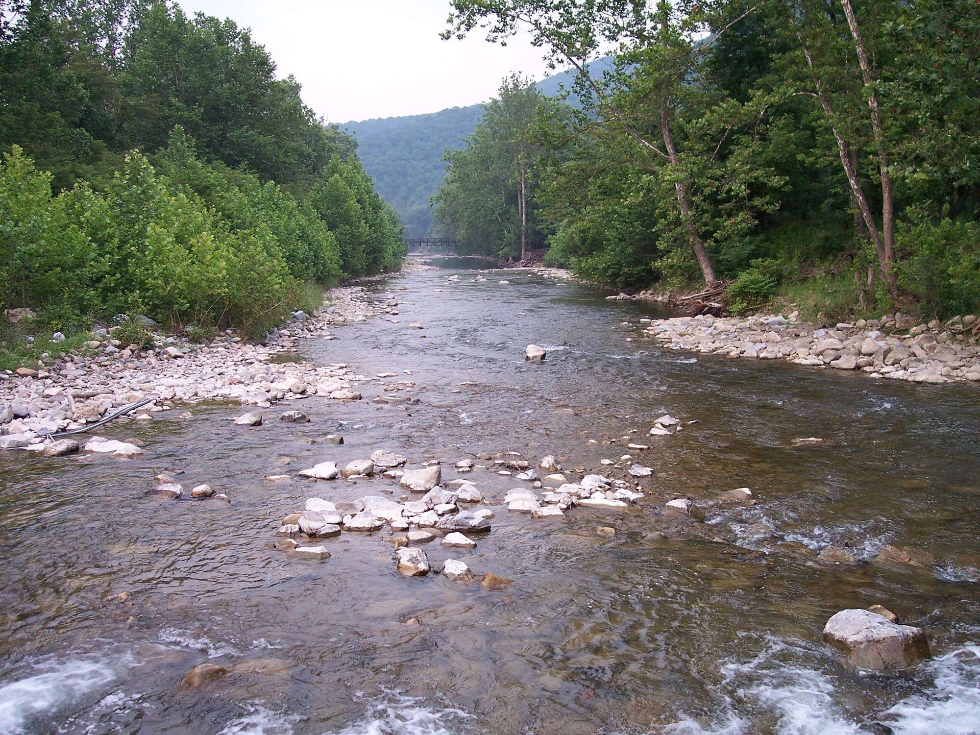
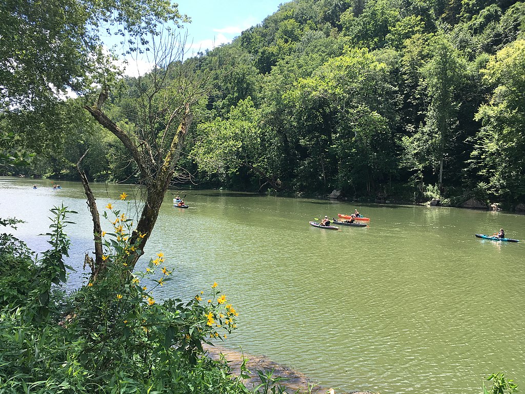
The river offers approximately 17 miles of documented paddling opportunities across two distinct sections. The upper run from Wildell to Burner covers 8.9 miles of Class I-II whitewater characterized by shallow riffles, small rapids, and clear pools ideal for intermediate paddlers and experienced beginners. The downstream section from Burner to Durbin extends 7.9 miles through similar Class I-II terrain, maintaining the river's manageable character while providing continuous action. Both sections flow through Pocahontas County's mountainous landscape, with the Burner to Durbin stretch culminating at the confluence with the East Fork.
The West Fork supports an excellent trout fishery, particularly in its upper reaches within the Monongahela National Forest. The river is divided into multiple sections with varying regulations, with the upper portion known for producing trophy-sized trout, some exceeding five pounds. Anglers should prepare for rugged wading conditions and technical fly fishing in shallow riffles. The middle section flows through Greenbrier State Forest, while lower stretches are known for larger fish. Warm-water species like smallmouth bass become more prevalent as the river descends.
Water levels fluctuate significantly without dam regulation, making timing crucial for successful paddling trips. The river typically receives abundant rainfall, with July bringing the heaviest precipitation and February the driest conditions. Spring runoff and summer rains provide the most reliable flows for paddling.
Access points include Wildell, Burner, and Durbin, with the latter serving as a logical endpoint where paddlers can witness the formation of the main Greenbrier. The surrounding Monongahela National Forest provides numerous camping opportunities, hiking trails including the Lynn Knob Trail, and scenic overlooks. The area's remote character means paddlers should be self-sufficient and prepared for limited services between access points.
The West Fork flows through terrain that demands respect—steep banks, rocky streambeds, and cold mountain water require appropriate footwear and safety equipment. The river's mountain setting means weather can change rapidly, and paddlers should monitor conditions carefully before committing to trips in this beautiful but demanding watershed.
Curated routes
Hand-picked by the PaddleWays team, with put-ins, take-outs, paddle times and the hazards along the way.
RouteClass I–II
RouteClass I–II
Hazards
No hazards are marked on West Fork Greenbrier River yet. That is not the same as none being there: if you find one, report it for the next paddler.
From the community
Nobody has shared a trip on West Fork Greenbrier River yet. Paddle it, then tell the next paddler how it went.
See exactly where the public can get on and off the river. Launch points and boat ramps are paired with PaddleWays' public land data so you know where you can legally land.
Public shoreline
92%of the river's shoreline is public
Flows, weather and a route-by-route verdict, so you know which stretch of the West Fork Greenbrier River is worth paddling today.
Live flows, marked hazards and fresh trip reports from paddlers who were just on the water, all in one place.





Every user gets free access to launch points, boat ramps, and public property parcels.
Loading popular cities...
PaddleWays gives you everything you need to plan smarter, paddle better, and own every trip from first launch to takeout.