Maury River
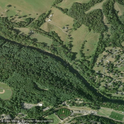
Maury River
- Boat Ramps
- 3
- Access Points
- 9
- Campsites
- 6
The Maury River is a scenic waterway in western Virginia, originating at the confluence of the Calfpasture and Little Calfpasture Rivers near Goshen. It flows approximately 40 miles northeast through Rockbridge County before joining the James River at Glasgow. The river's watershed lies within the Shenandoah Valley between the Blue Ridge and Allegheny Mountains.
Paddling opportunities on the Maury range from challenging whitewater to relaxing flatwater floats. The upper section through Goshen Pass offers Class III-IV rapids popular with experienced kayakers and canoeists. This 5-mile stretch features continuous rapids amid stunning mountain scenery. Below Goshen Pass, the river mellows to Class I-II as it winds past Lexington and Buena Vista. A popular 12-mile float from Glen Maury Park to Glasgow provides a mix of gentle rapids and calm pools suitable for intermediate paddlers.
The Maury's difficulty varies seasonally, with higher flows in spring and after heavy rains. Late spring through early fall offers the most reliable paddling conditions for most sections. Winter paddling is possible but requires cold water gear. The river corridor hosts diverse wildlife including bald eagles, ospreys, and river otters. Trout fishing is excellent, especially in the upper reaches. Paddlers can spot remnants of old canal locks and dams that hint at the river's history as a transportation route.
Key access points include Route 39 near Goshen, Jordan's Point Park in Lexington, Glen Maury Park in Buena Vista, and Locher Landing in Glasgow. These towns offer amenities for paddlers planning day trips or overnight excursions. The Maury played an important role in the region's development, powering mills and facilitating trade. Today it's a centerpiece of outdoor recreation, with the Goshen Pass Natural Area Preserve protecting its most dramatic section.
Safety considerations include cold water, strainers, and fluctuating water levels. Personal flotation devices are required. Multi-day trips are possible by combining Maury sections with floats on the connecting James River. With its mix of exciting rapids, serene floats, and rich natural and cultural history, the Maury River offers a quintessential Virginia paddling experience for a range of skill levels.
Water access, boat ramps & amenities
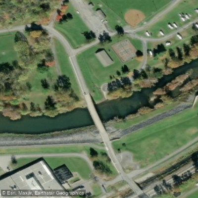
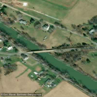
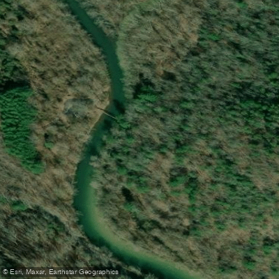
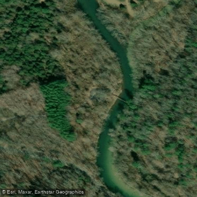
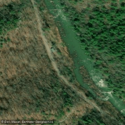
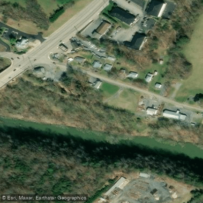
Learn how to get on Maury River. Uncover great paddling access points, boat ramps, and all the facilities you need for an unforgettable day on the water. Some locations shown may border or include private property. Always check property boundaries and applicable regulations before visiting. PaddleWays's Public & Private Land layer can help you plan your access with confidence.
Paddle smarter with real-time insights
Whether you're en route and conditions shift or you're looking for the best spot based on current flows, we enable you to make informed decisions on the fly.








Find Places to Paddle

Over 400,000 Places to Paddle
Every user gets free access to launch points, boat ramps, and public property parcels.


Water and weather conditions (10 day forecast)
See the best times to paddle Maury River and check the forecast before you go.
MAURY RIVER AT ROCKBRIDGE BATHS, VA
All Flow Stations
Paddling near Maury River

James River
Smith Mountain Lake
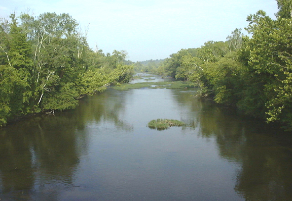
Appomattox River
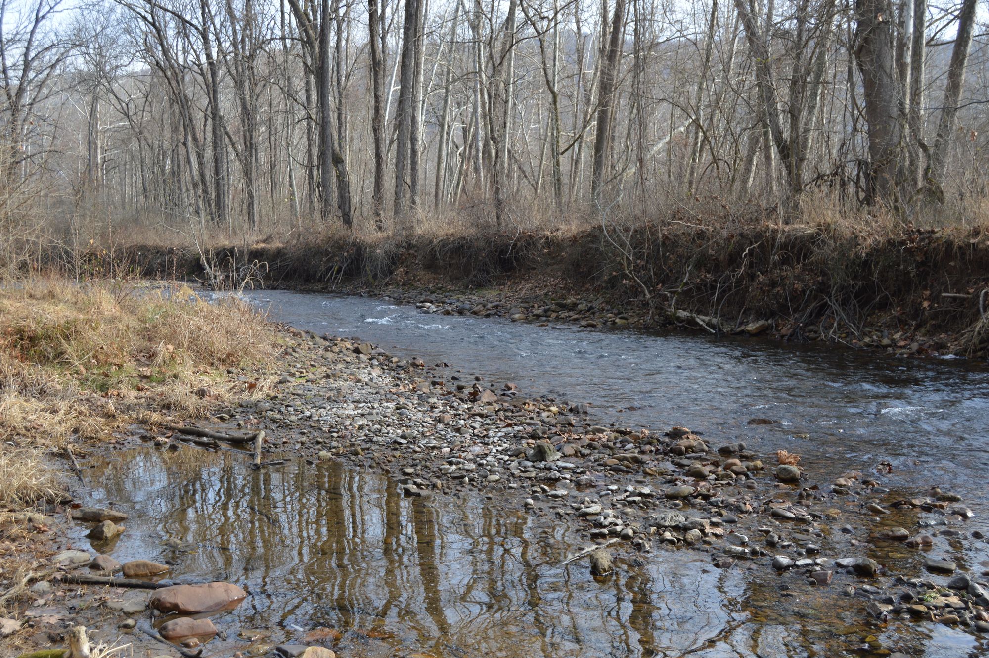
Jackson River
Roanoke River
Leesville Lake

Carvin Cove Reservoir
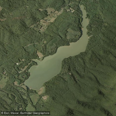
Lake Merriweather
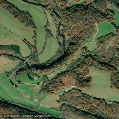
Tye River
Explore Virginia waters
Top paddling waters
Popular Cities
Loading popular cities...
Explore near Maury River
Access points
Nearby waters
More in Virginia

Smarter Paddling Starts in the App.
Paddleways gives you everything you need to plan smarter, paddle better, and own every trip from first launch to takeout.