Curated by PaddleWays
RouteFlatwater
- Distance
- 1.6 mi
- Paddle time
- ~0.5 hrs
- Best for
- Kayak, canoe
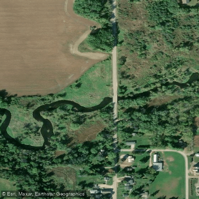
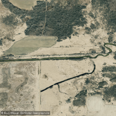
- Put-in → take-out
- County Highway A → Old Stone Road
Logjam reported just above the put-in
Badfish Creek flows through south-central Wisconsin, originating near County Road B in the Town of Rutland and meandering approximately 25 miles southeast before joining the Yahara River near Fulton. This medium-sized creek drains portions of Dane and Rock Counties, passing through the communities of Cooksville and the Badfish Creek Wildlife Area before its confluence with the Yahara.
The creek maintains remarkably consistent water levels year-round due to receiving treated effluent from the Madison Metropolitan Sewer District and the Village of Oregon's Wastewater Treatment Facility. While this might raise eyebrows, the water clarity is surprisingly good, and the reliable flow makes Badfish Creek paddleable throughout the season when many comparable Wisconsin creeks run too low. This consistent discharge creates a swift current that drives the creek's appeal among Madison-area paddlers.
Paddling opportunities span the full spectrum from the narrow, obstacle-laden headwaters to the more developed lower sections. The Old Stage Road to Casey Road stretch represents the crown jewel—a 6.75-mile journey featuring excellent current, numerous riffles, tight turns demanding solid boat control, and inviting gravel bars perfect for rest stops. The 1.9-mile section from Highway 138 to Old Stage Road offers the creek's best gradient at approximately 10 feet per mile, delivering the most exciting water. Upstream sections from Sunrise Road become progressively more challenging, with artificial straightening, high banks, and occasional portages around fallen trees. Below Casey Road, the creek opens up and mellows considerably before meeting the Yahara.
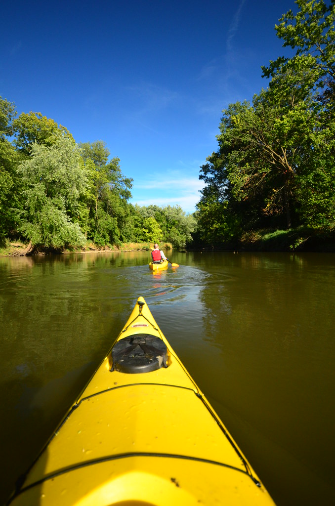
Difficulty ranges from flatwater in the upper channelized sections and final stretches to Class I-II water through the middle reaches. Beginners can handle most sections during normal flows, though the tighter, twistier middle portions reward intermediate paddlers with better boat control skills. Spring through early summer provides optimal conditions before aquatic vegetation becomes problematic.
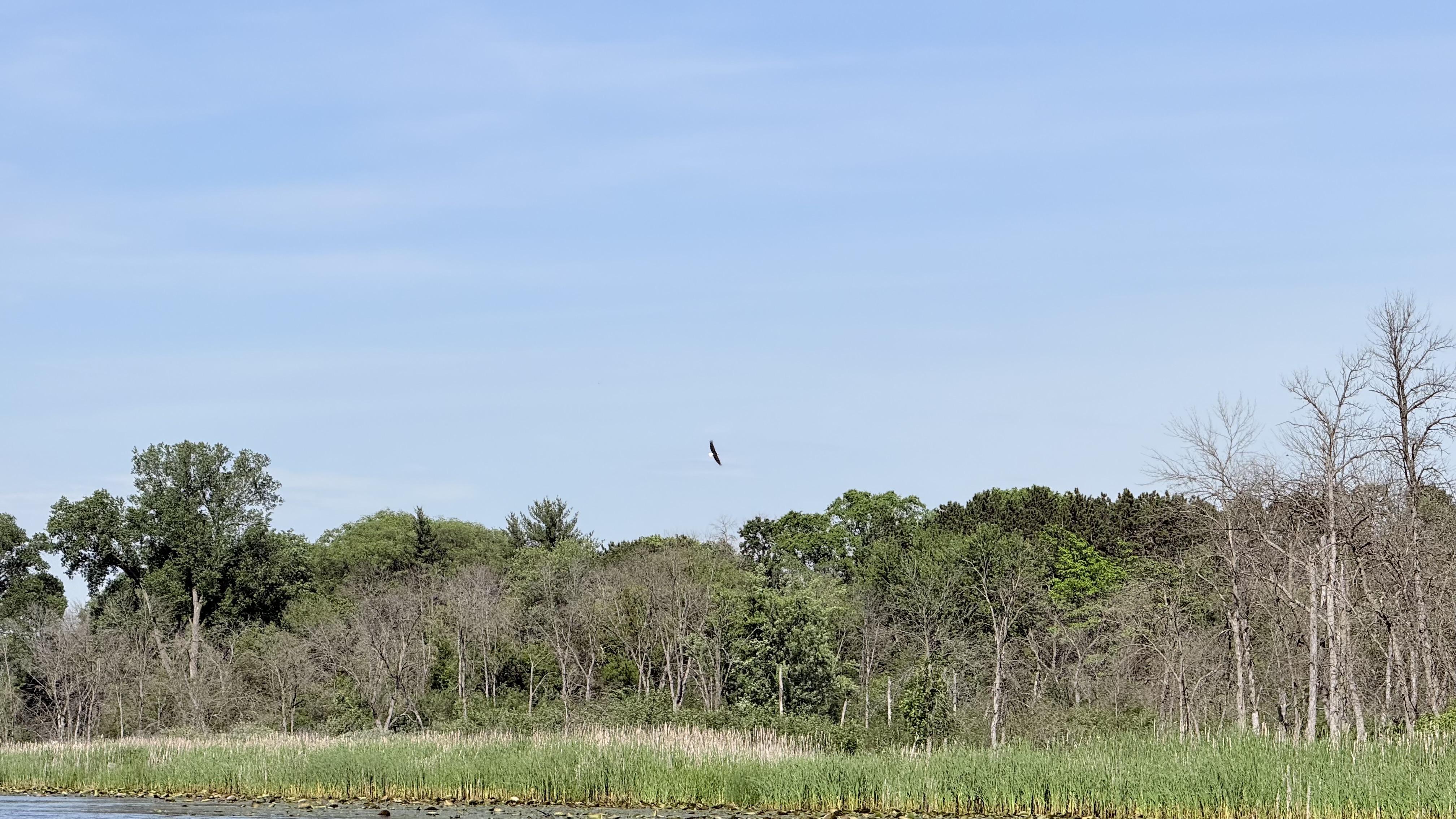
Wildlife sightings commonly include great blue herons, wood ducks, muskrats, deer, and occasional eagles. The Badfish Creek Wildlife Area protects significant wetland habitat and high-quality wet prairie with natural springs. Paddlers navigate beneath numerous bridges, from busy Highway 138 near Cooksville to quiet farm crossings, with the historic Leedle Mill Road bridge marking a notable landmark.
Access points include well-developed landings at Old Stone Road, Old Stage Road (with graciously maintained parking), and the newer County Highway A landing in the Town of Rutland. Casey Road and Murwin County Park on the Yahara provide downstream takeouts. Most trips run 2-4 hours, with the Highway 138 to Murwin County Park route offering an 11.5-mile full-day adventure combining Badfish Creek's best sections with a bonus Yahara River segment. The creek flows entirely through private agricultural land outside the Wildlife Area, requiring paddlers to remain waterborne except at designated access points.
Curated routes
Hand-picked by the PaddleWays team, with put-ins, take-outs, paddle times and the hazards along the way.
RouteFlatwater
RouteClass I–II
RouteClass I–II
RouteClass I–II
Hazards
No hazards are marked on Badfish Creek yet. That is not the same as none being there: if you find one, report it for the next paddler.
From the community
Nobody has shared a trip on Badfish Creek yet. Paddle it, then tell the next paddler how it went.
See exactly where the public can get on and off the river. Launch points and boat ramps are paired with PaddleWays' public land data so you know where you can legally land.
Public shoreline
18%of the river's shoreline is public
Most of the riverbank is private. Launch, land and camp only at public access points.
Flows, weather and a route-by-route verdict, so you know which stretch of the Badfish Creek is worth paddling today.
Live flows, marked hazards and fresh trip reports from paddlers who were just on the water, all in one place.





Every user gets free access to launch points, boat ramps, and public property parcels.
Loading popular cities...
PaddleWays gives you everything you need to plan smarter, paddle better, and own every trip from first launch to takeout.





