Big Eau Pleine Reservoir
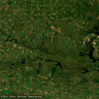
Big Eau Pleine Reservoir
- Boat Ramps
- 12
- Access Points
- 12
- Campsites
- 3
The Big Eau Pleine Reservoir, located 20 miles southwest of Wausau in Marathon County, Wisconsin, offers paddlers a 6,800-acre body of water with 72 miles of shoreline. Created in 1937 for flood control, the reservoir has a maximum depth of 46 feet and a mean depth of 16 feet. The flowage provides a 17+ mile-long water trail with scenic woodland views, creating a backcountry feel despite nearby farmland.
Access points include Lisa's landing at Halder Bridge, Big Eau Pleine County Park, and George's Boat Landing off Highway C on the north end. The 1,450-acre county park, about a 2-hour paddle from the east end, offers camping opportunities. Paddlers should be aware that motorized boats are allowed on the reservoir.
Wildlife viewing is a highlight, with opportunities to spot eagles, ospreys, pelicans, cormorants, and seagulls. Koskey's Bay (also known as Strand's Bay) east of the county park has minimal boat traffic and is good for eagle sightings. The 40-square-mile George Mead Wildlife Area adjoins the flowage's southeast end, providing additional forest and marshland habitats.
Fall offers spectacular colors from maples, oaks, basswood, and birch trees. However, paddlers should be cautious of hunting seasons, particularly duck season. Summer thunderstorms can develop quickly, requiring vigilance and knowledge of safe harbor locations.
The reservoir has faced water quality challenges, with significant fish kills in 2009 and 2013 due to low winter water levels, agricultural runoff, and other factors. Efforts are ongoing to improve water quality. Despite these issues, the flowage traditionally supports northern pike, walleye, crappie, perch, smallmouth bass, and muskies.
While not heavily used for paddling, the Big Eau Pleine Reservoir offers a peaceful experience with ample opportunities for day trips and multi-day adventures. Paddlers should come prepared for potentially long distances between access points and variable weather conditions.
Water access, boat ramps & amenities
Learn how to get on Big Eau Pleine Reservoir. Uncover great paddling access points, boat ramps, and all the facilities you need for an unforgettable day on the water. Some locations shown may border or include private property. Always check property boundaries and applicable regulations before visiting. PaddleWays's Public & Private Land layer can help you plan your access with confidence.
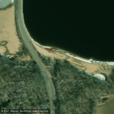
Big Eau Pleine River Boat Ramp
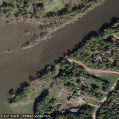
Maryel Boat Landing Boat Ramp
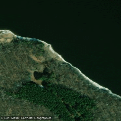
Georges Landing Boat Ramp
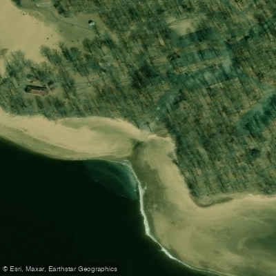
Big Eau Pleine County Park West Unit Boat Ramp
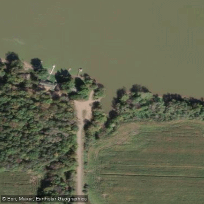
Oxbo Road Boat Ramp
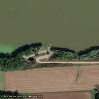
Lisas Landing Boat Ramp
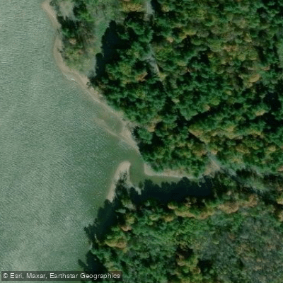
Big Eau Pleine River Boat Ramp
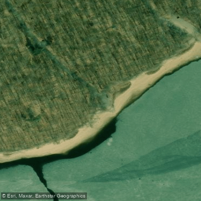
Big Eau Pleine County Park South Unit Boat Ramp
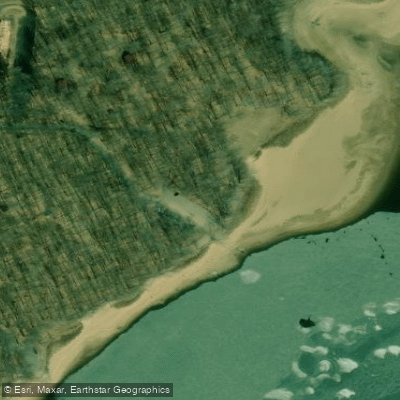
Big Eau Pleine County Park South Unit Boat Ramp
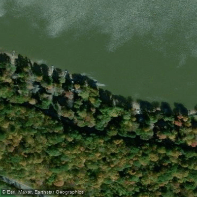
Big Eau Pleine River Boat Ramp
Paddle smarter with real-time insights
Whether you're en route and conditions shift or you're looking for the best spot based on current flows, we enable you to make informed decisions on the fly.








Find Places to Paddle

Over 400,000 Places to Paddle
Every user gets free access to launch points, boat ramps, and public property parcels.


Water and weather conditions (10 day forecast)
See the best times to paddle Big Eau Pleine Reservoir and check the forecast before you go.
No forecast data available.
Paddling near Big Eau Pleine Reservoir
Wisconsin River
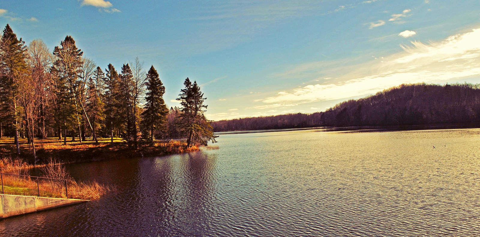
Mondeaux Flowage
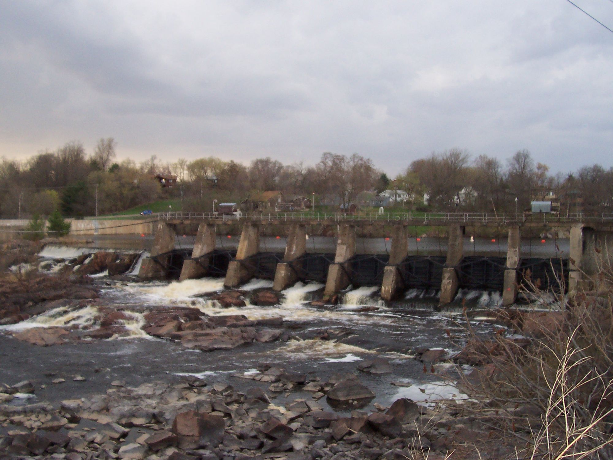
Black River
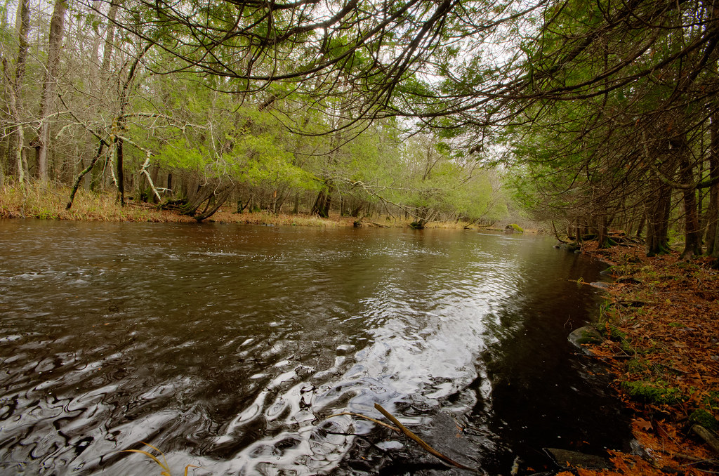
Wolf River
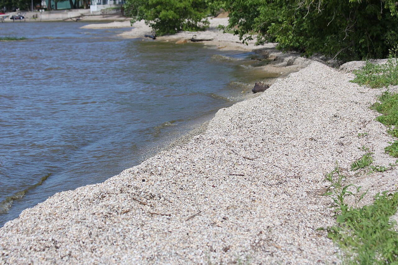
Red River
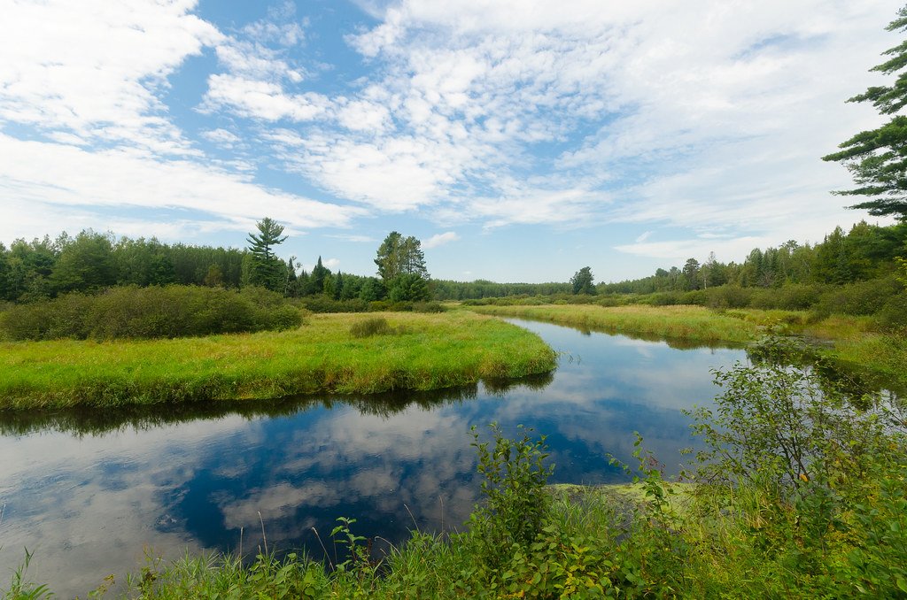
Tomahawk River
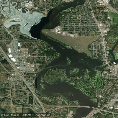
Lake Wausau
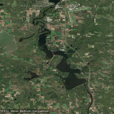
Lake Dubay 4890
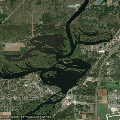
Mosinee Flowage
Explore Wisconsin waters
Top paddling waters
Popular Cities
Loading popular cities...
Explore near Big Eau Pleine Reservoir
Access points
- Big Eau Pleine River Boat Ramp
- Maryel Boat Landing Boat Ramp
- Georges Landing Boat Ramp
- Big Eau Pleine County Park West Unit Boat Ramp
- Oxbo Road Boat Ramp
- Lisas Landing Boat Ramp
- Big Eau Pleine River Boat Ramp
- Big Eau Pleine County Park South Unit Boat Ramp
- Big Eau Pleine County Park South Unit Boat Ramp
- Big Eau Pleine River Boat Ramp
- Fisherman Cove Boat Ramp
- Sandy Shore Drive Boat Ramp
- All 15 spots
Nearby waters
More in Wisconsin

Smarter Paddling Starts in the App.
Paddleways gives you everything you need to plan smarter, paddle better, and own every trip from first launch to takeout.