Mosinee Flowage
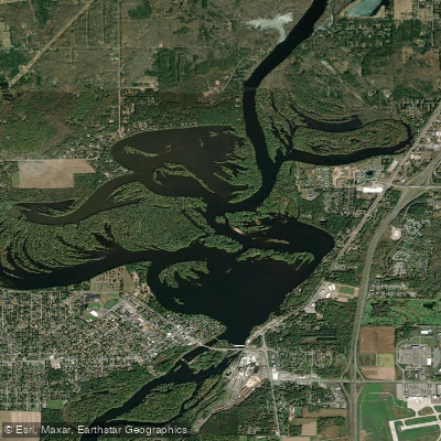
Mosinee Flowage
- Boat Ramps
- 3
- Access Points
- 3
- Campsites
- 0
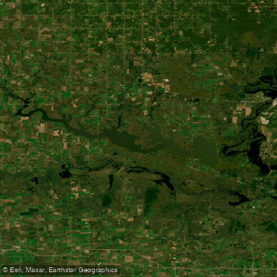
The Mosinee Flowage is a 1,377-acre impoundment on the Wisconsin River, offering paddlers a scenic adventure in central Wisconsin. Access is available via a canoe portage and small boat landing located off River Road on the east side of the Wisconsin River. This landing provides excellent access to both the flowage and the river.
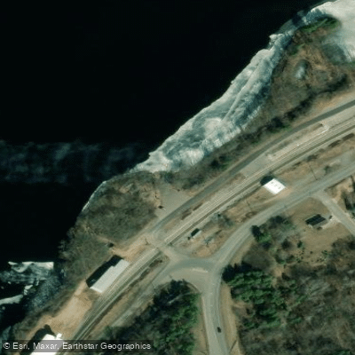
Paddlers should be aware of the Mosinee Mill Dam located just south of the landing site. Those traveling downstream must use the landing to portage around the dam. A direct-line telephone is available at the portage site for arranging free transportation (courtesy of Wausau Paper Corporation) to Chuck's Boat Landing below the dam.
The area surrounding the flowage offers breathtaking scenery and abundant wildlife viewing opportunities. Paddlers may encounter various waterfowl species during their journey. The Wisconsin River in this section is considered a first-class freshwater adventure route by canoeing and kayaking enthusiasts.
Recent improvements to the landing area include a new concrete boat ramp, a floating dock, and a gravel parking area that can accommodate approximately four vehicles. These enhancements, completed in October 2009, make launching and retrieving watercraft more convenient for paddlers.
While specific paddling routes are not detailed, the combination of the flowage and river offers diverse options for day trips. The area is known for its world-class fishing, which may interest anglers who combine paddling with fishing excursions.
Paddlers should always exercise caution around the dam area and be prepared to use the portage system when necessary. As with any paddling trip, checking current conditions and being aware of weather forecasts is advisable before setting out on the Mosinee Flowage.
Water access, boat ramps & amenities
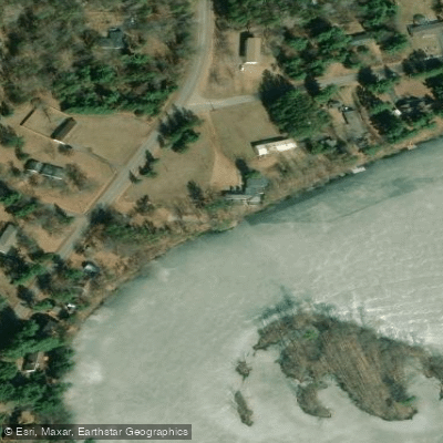
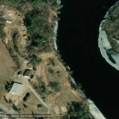
Learn how to get on Mosinee Flowage. Uncover great paddling access points, boat ramps, and all the facilities you need for an unforgettable day on the water. Some locations shown may border or include private property. Always check property boundaries and applicable regulations before visiting. PaddleWays's Public & Private Land layer can help you plan your access with confidence.
Paddle smarter with real-time insights
Whether you're en route and conditions shift or you're looking for the best spot based on current flows, we enable you to make informed decisions on the fly.








Find Places to Paddle

Over 400,000 Places to Paddle
Every user gets free access to launch points, boat ramps, and public property parcels.


Water and weather conditions (10 day forecast)
See the best times to paddle Mosinee Flowage and check the forecast before you go.
WISCONSIN RIVER AT MOSINEE, WI
Paddling near Mosinee Flowage
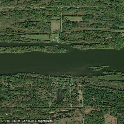
Wisconsin River
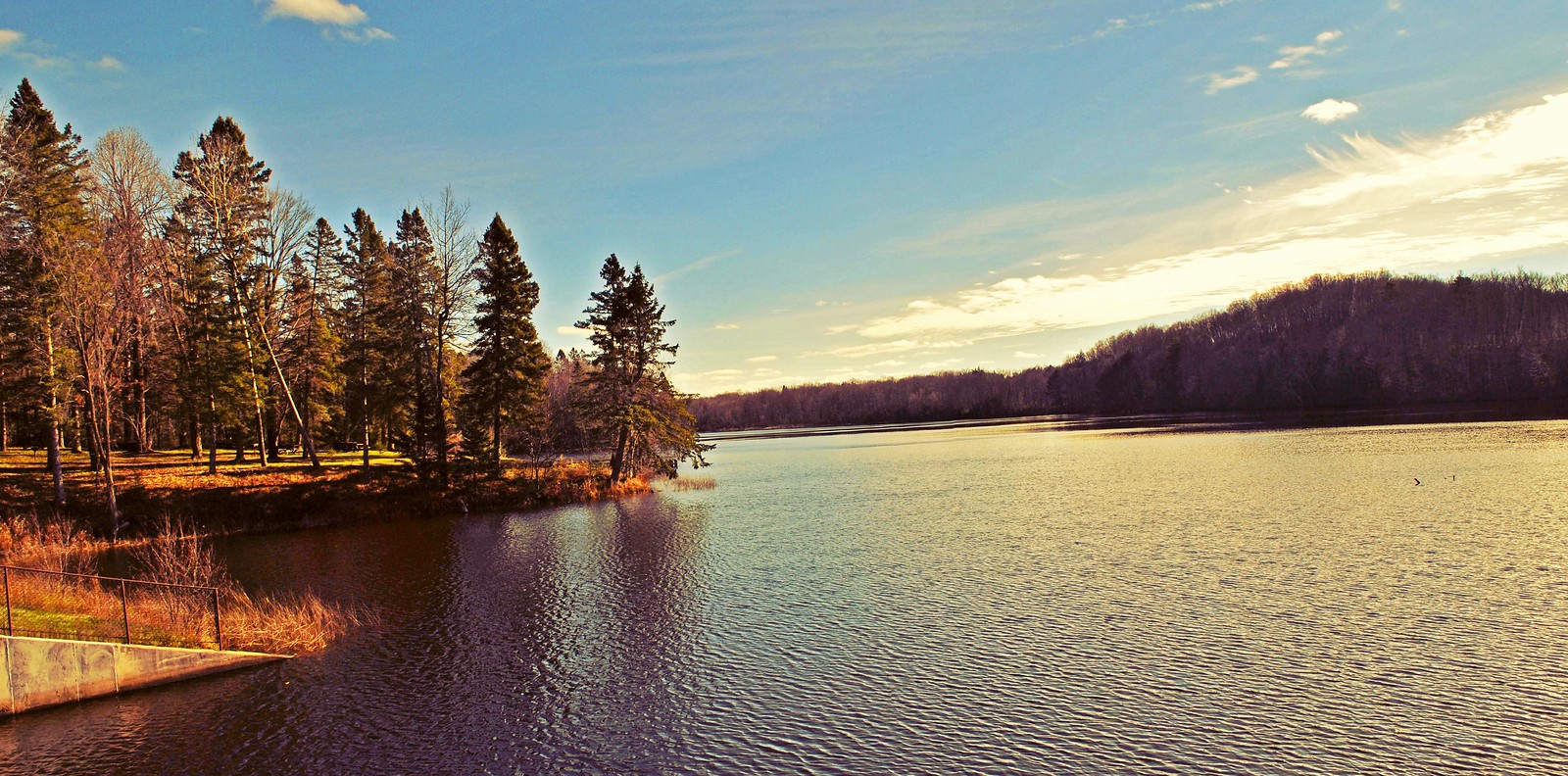
Mondeaux Flowage
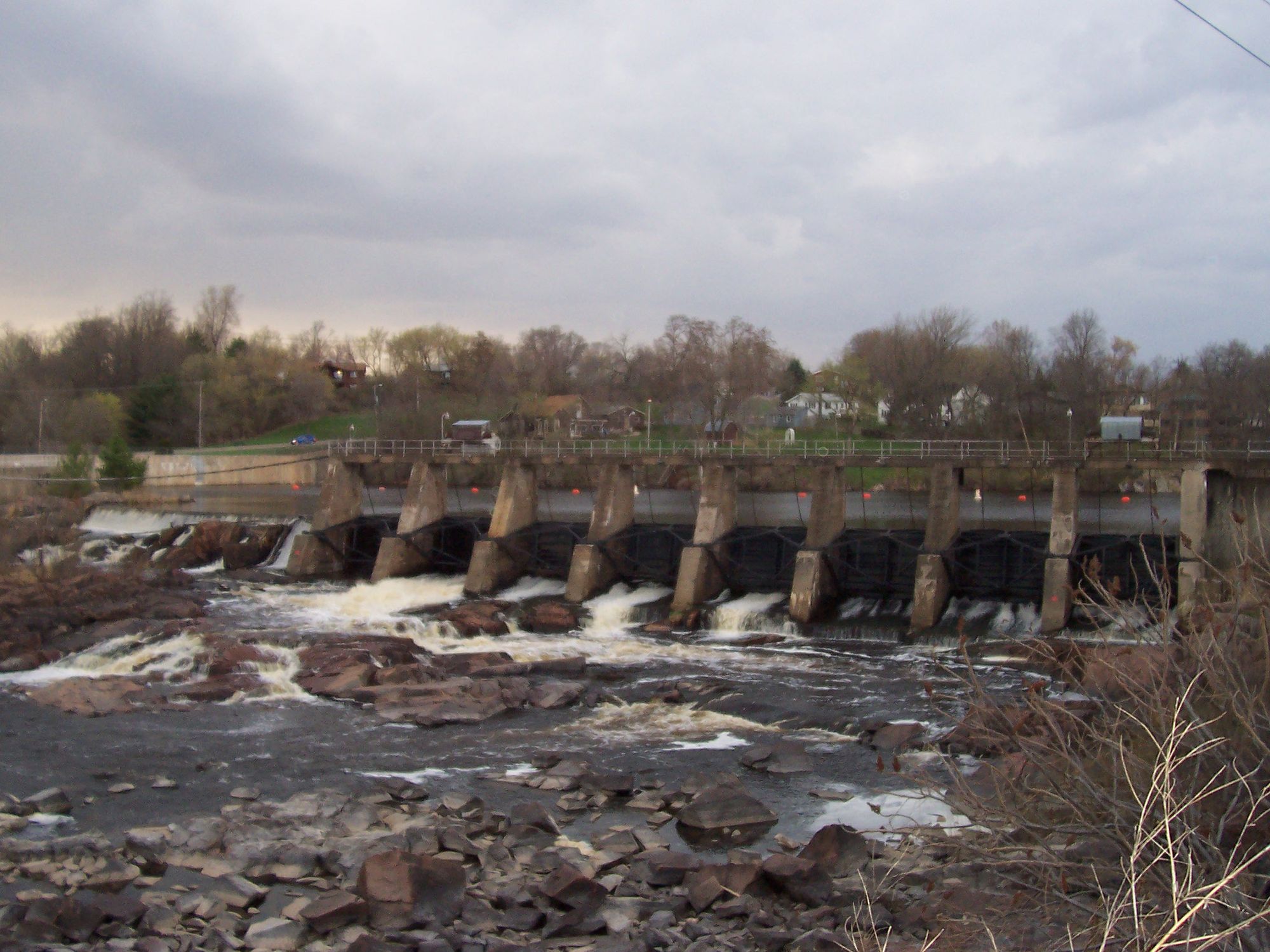
Black River
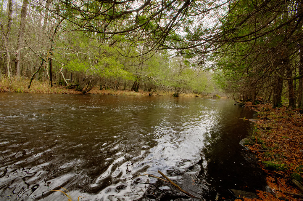
Wolf River
Red River
Tomahawk River
Lake Wausau
Lake Dubay 4890
Big Eau Pleine Reservoir
Explore Wisconsin waters
Top paddling waters
Popular Cities
Loading popular cities...
Explore near Mosinee Flowage

Smarter Paddling Starts in the App.
Paddleways gives you everything you need to plan smarter, paddle better, and own every trip from first launch to takeout.