Tomahawk River
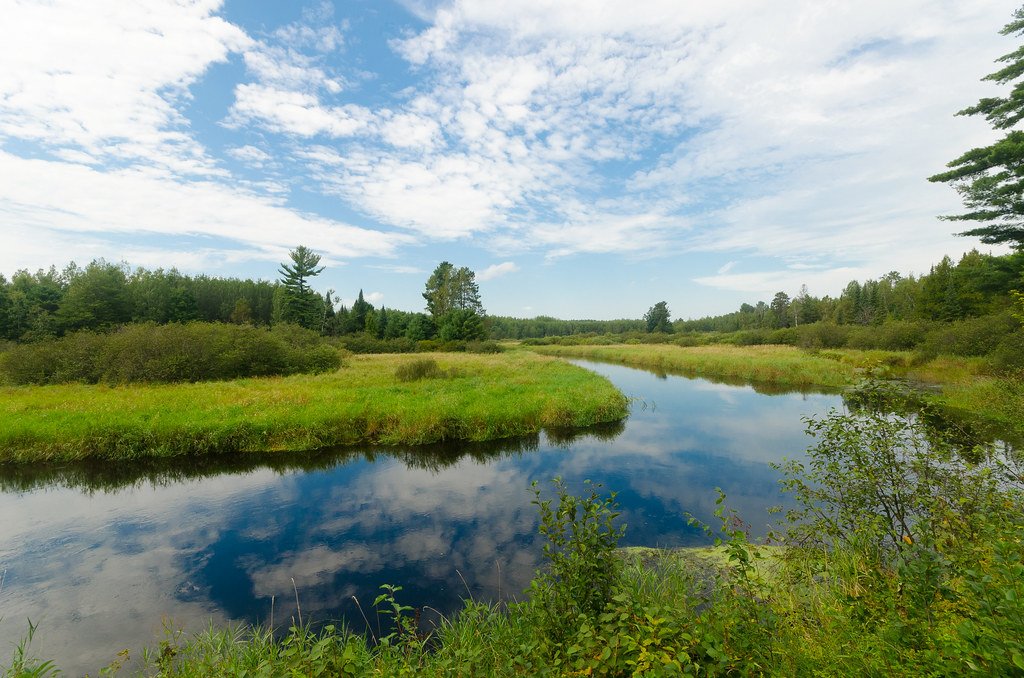
Tomahawk River
- Boat Ramps
- 9
- Access Points
- 9
- Campsites
- 4
The Tomahawk River is a scenic waterway in north-central Wisconsin, originating from the Willow Flowage in Oneida County and flowing south to its confluence with the Wisconsin River. This river system drains a significant portion of the Northern Highland region, winding through forests and wetlands for approximately 30 miles. Paddling opportunities on the Tomahawk River range from calm flatwater stretches to exciting whitewater sections, offering experiences for various skill levels.
Popular segments include the 11.9-mile stretch from Willow Dam to Swamp Lake Road, featuring long flatwater sections interspersed with riffles and the notable Class II Halfbreed Rapids. The 8.9-mile section from Swamp Lake Road to Prairie Rapids Road provides a mix of calm waters and Class II rapids, appealing to intermediate paddlers. The river's difficulty ranges from Class I to II, with most sections suitable for beginners and intermediate paddlers. However, the lower stretches near the Wisconsin River confluence contain more challenging Class II rapids that require careful scouting and navigation.
Spring and early summer typically offer the best water levels for paddling, though the river is often navigable throughout the warm season. Fall colors provide a stunning backdrop for autumn trips. The Tomahawk River corridor supports diverse wildlife, including bald eagles, ospreys, and various waterfowl. Paddlers may spot white-tailed deer, otters, and beavers along the shorelines. The surrounding forests feature a mix of northern hardwoods and conifers.
Key landmarks include the Willow Flowage, a 6,400-acre undeveloped lake at the river's source, and Prairie Rapids, a scenic Class II whitewater feature. The river passes through or near several small communities, including Tomahawk and Minocqua. Major access points include Willow Dam Road near Minocqua, Swamp Lake Road, Highway 70 West, and various landings near Tomahawk. These put-ins and take-outs allow for trips of varying lengths, from short 2-3 hour paddles to full-day excursions.
Historically, the Tomahawk River played a role in the region's logging industry, with its waters used to transport timber. Today, it's valued for its recreational opportunities and as an important ecological corridor. Paddlers should be aware of potential hazards such as strainers and submerged obstacles, particularly in faster sections. Life jackets are required, and checking current water levels and conditions is advised before any trip.
For those seeking a multi-day adventure, it's possible to combine several sections of the Tomahawk River, potentially linking with the Wisconsin River for an extended journey through the heart of the Northwoods.
Water access, boat ramps & amenities
Learn how to get on Tomahawk River. Uncover great paddling access points, boat ramps, and all the facilities you need for an unforgettable day on the water. Some locations shown may border or include private property. Always check property boundaries and applicable regulations before visiting. PaddleWays's Public & Private Land layer can help you plan your access with confidence.
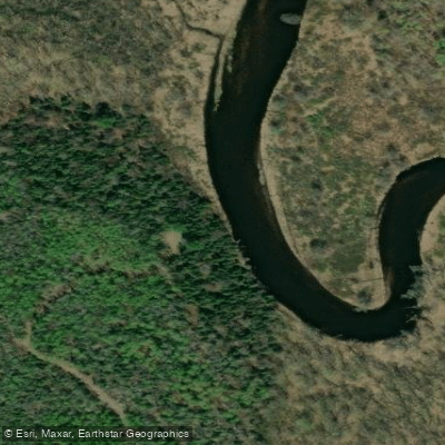
Willow Dam Road Canoe Landing
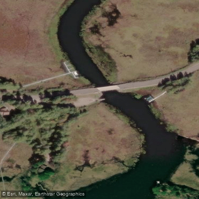
Tomahawk Thoroughfare Access
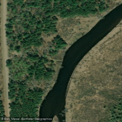
Lower Tomahawk River Pines Sna Canoe Landing
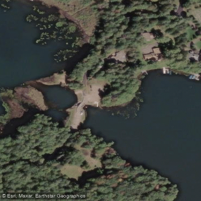
Kawaguesaga Boat Landing
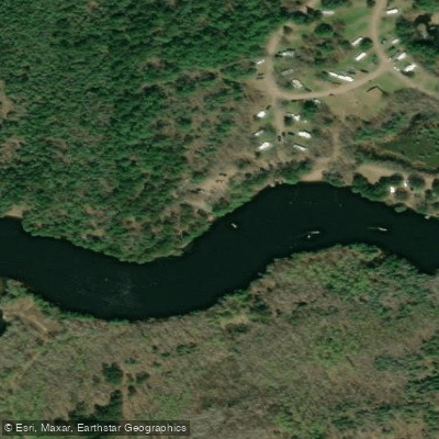
Cedar Falls Access
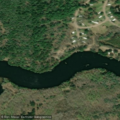
Cedar Falls Boat Ramp
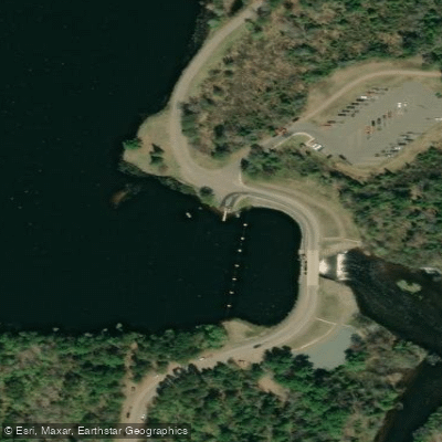
Willow Flowage Access 1
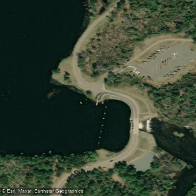
Willow Flowage - 1 Boat Ramp
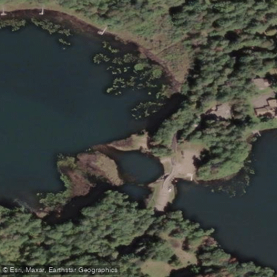
Tomahawk River Access
Paddle smarter with real-time insights
Whether you're en route and conditions shift or you're looking for the best spot based on current flows, we enable you to make informed decisions on the fly.








Find Places to Paddle

Over 400,000 Places to Paddle
Every user gets free access to launch points, boat ramps, and public property parcels.


Water and weather conditions (10 day forecast)
See the best times to paddle Tomahawk River and check the forecast before you go.
No forecast data available.
Paddling near Tomahawk River
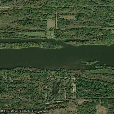
Wisconsin River
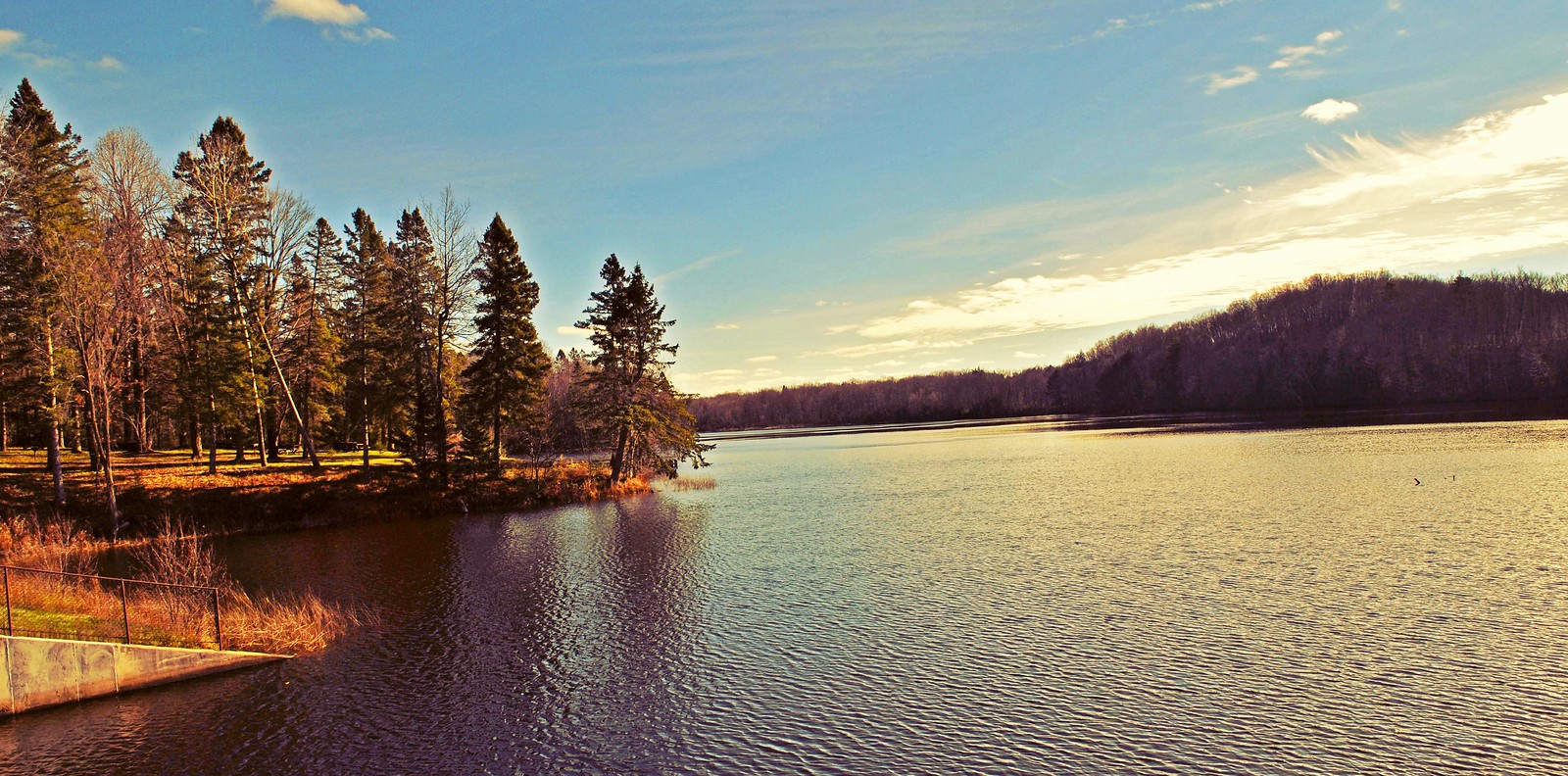
Mondeaux Flowage
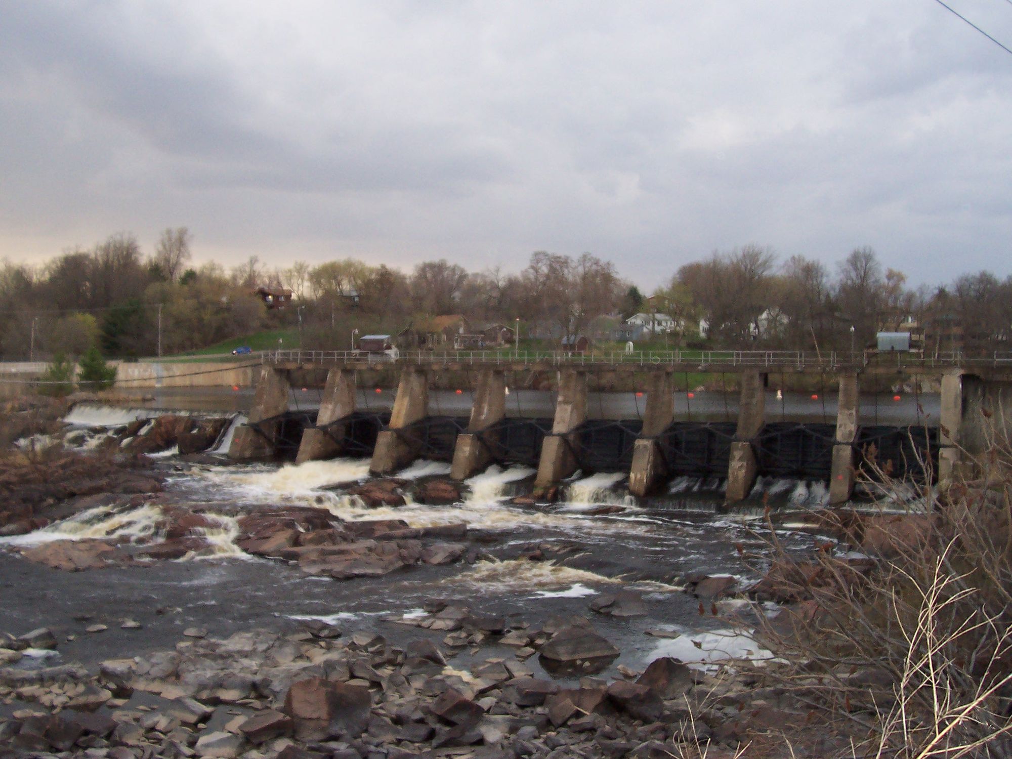
Black River
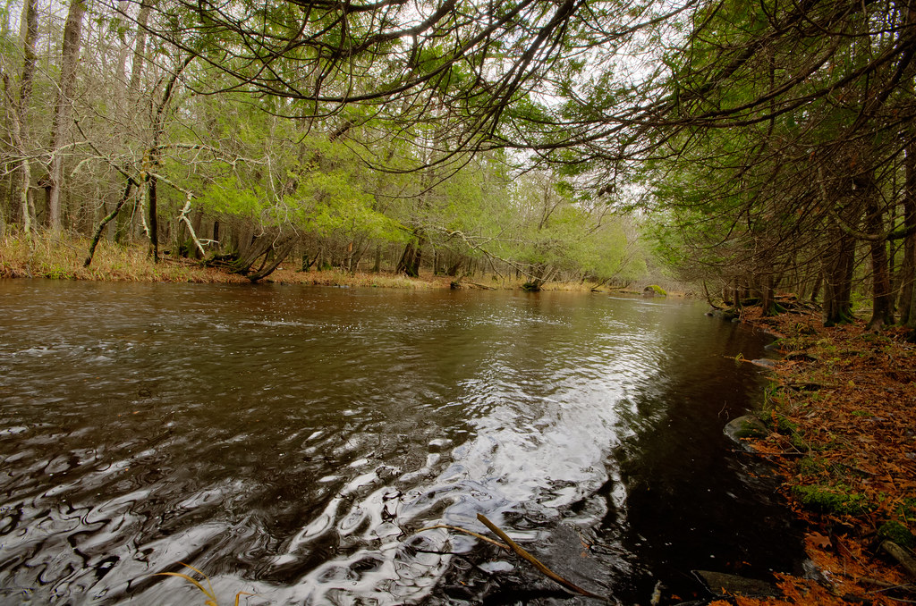
Wolf River
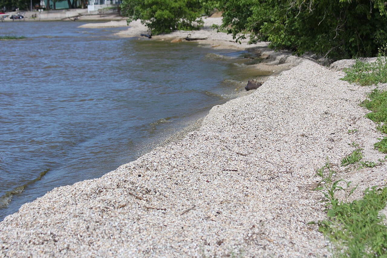
Red River
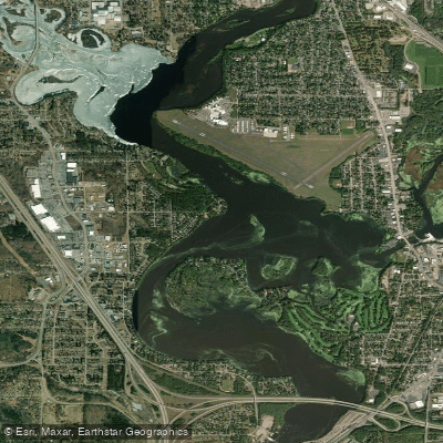
Lake Wausau
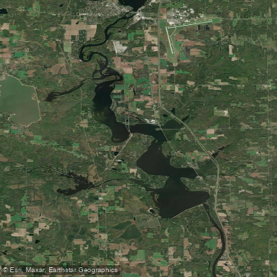
Lake Dubay 4890
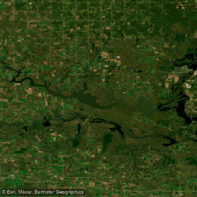
Big Eau Pleine Reservoir
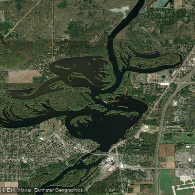
Mosinee Flowage
Explore Wisconsin waters
Top paddling waters
Popular Cities
Loading popular cities...
Explore near Tomahawk River
Access points
- Willow Dam Road Canoe Landing
- Tomahawk Thoroughfare Access
- Lower Tomahawk River Pines Sna Canoe Landing
- Kawaguesaga Boat Landing
- Cedar Falls Access
- Cedar Falls Boat Ramp
- Willow Flowage Access 1
- Willow Flowage - 1 Boat Ramp
- Tomahawk River Access
- Clear Lake Campground
- Carrol Lake Campground
- Red Pine Campground
- All 14 spots
Nearby waters
More in Wisconsin

Smarter Paddling Starts in the App.
Paddleways gives you everything you need to plan smarter, paddle better, and own every trip from first launch to takeout.