Mondeaux Flowage
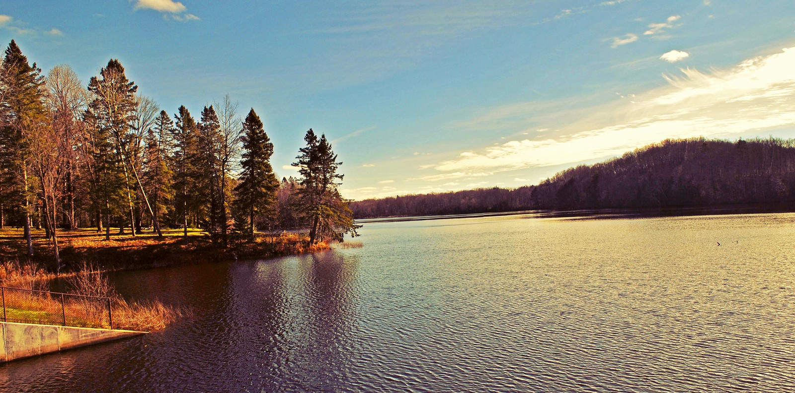
Mondeaux Flowage
- Boat Ramps
- 4
- Access Points
- 5
- Campsites
- 4
Mondeaux Flowage is a 411-acre impoundment in the Chequamegon-Nicolet National Forest of Wisconsin, created by damming the Mondeaux River in 1938. The flowage extends approximately 4 miles north-south, ranging from 120 to 1,500 feet wide, with multiple wooded islands, small peninsulas, and sheltered bays that create excellent exploration opportunities for paddlers.
The flowage features four public boat launches and a dedicated canoe launch area at the Mondeaux Dam Recreation Area. Equipment rentals, including canoes, paddleboats, and pontoons, are available at the historic CCC-era lodge near the dam. The lake is relatively shallow throughout, with a maximum depth of 10 feet, and features a gentle current flowing northward.
Most of the shoreline remains undeveloped, surrounded by a wilderness landscape of hardwoods, pines, hemlocks, and spruce bogs. The few exceptions include some cottages at the southern end and four National Forest campgrounds (Eastwood, Spearhead Point, West Point, and Picnic Point) strategically positioned around the lake.
Paddlers can explore the numerous coves and inlets, though the wooded islands, while scenic, have steep banks that make landing challenging. The flowage operates under a slow no-wake restriction, making it particularly suitable for calm-water paddling. Facilities include multiple accessible fishing piers, a swimming beach, picnic areas with tables and grills, and modern restrooms at the main recreation area.
The Ice Age National Scenic Trail traces the northern half of the flowage, offering paddlers opportunities to combine water and land-based exploration. The western shore features the distinctive Mondeaux Esker, a glacial ridge formation that provides a dramatic backdrop for paddling adventures.
The lake's bottom composition is 60% muck, 30% sand, and 10% gravel. The natural setting provides excellent wildlife viewing opportunities along the shoreline and among the islands.
Water access, boat ramps & amenities
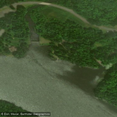
Learn how to get on Mondeaux Flowage. Uncover great paddling access points, boat ramps, and all the facilities you need for an unforgettable day on the water. Some locations shown may border or include private property. Always check property boundaries and applicable regulations before visiting. PaddleWays's Public & Private Land layer can help you plan your access with confidence.
Paddle smarter with real-time insights
Whether you're en route and conditions shift or you're looking for the best spot based on current flows, we enable you to make informed decisions on the fly.








Find Places to Paddle

Over 400,000 Places to Paddle
Every user gets free access to launch points, boat ramps, and public property parcels.


Water and weather conditions (10 day forecast)
See the best times to paddle Mondeaux Flowage and check the forecast before you go.
No forecast data available.
Paddling near Mondeaux Flowage
Wisconsin River
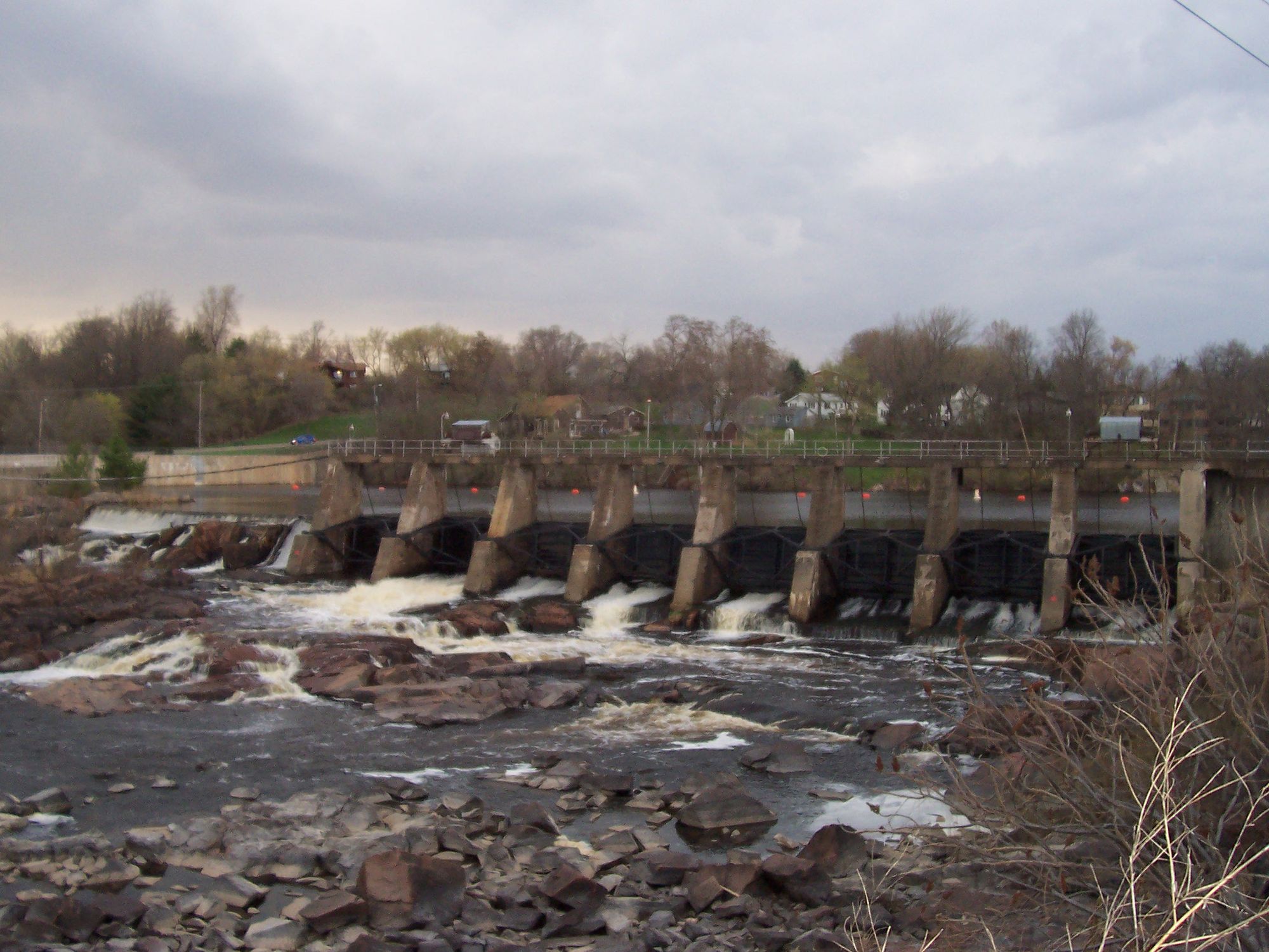
Black River
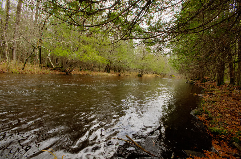
Wolf River
Red River
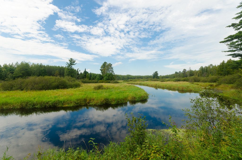
Tomahawk River
Lake Wausau
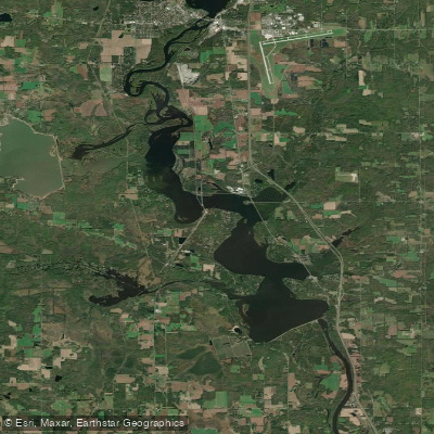
Lake Dubay 4890
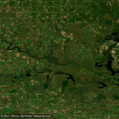
Big Eau Pleine Reservoir
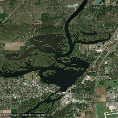
Mosinee Flowage
Explore Wisconsin waters
Top paddling waters
Popular Cities
Loading popular cities...
Explore near Mondeaux Flowage
Access points
Nearby waters
More in Wisconsin

Smarter Paddling Starts in the App.
Paddleways gives you everything you need to plan smarter, paddle better, and own every trip from first launch to takeout.