Yellow River
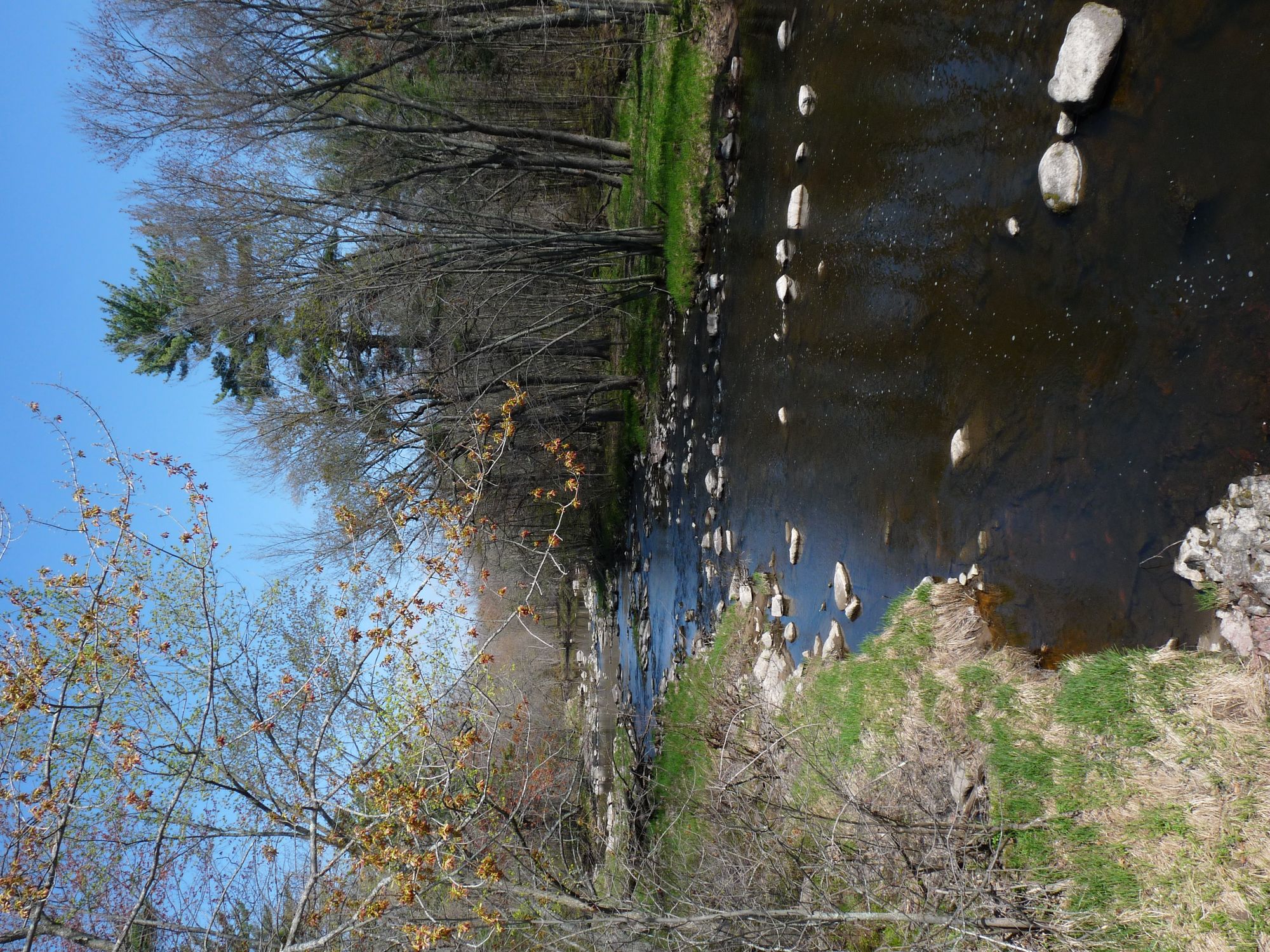
Yellow River
- Boat Ramps
- 1
- Access Points
- 2
- Campsites
- 8
The Yellow River in north-central Wisconsin originates in Taylor County near the Chequamegon-Nicolet National Forest, flowing southwestward through forested terrain before entering Chippewa County and eventually emptying into Lake Wissota, a reservoir on the Chippewa River. This tributary drains portions of the Northern Highland, descending through a landscape shaped by glacial activity that left behind granite bedrock outcrops, boulder fields, and terminal moraines.
The river's character changes dramatically along its course. In Taylor County's upper reaches near Miller Dam and the Chequamegon Waters Flowage, the Yellow flows through pristine national forest land with minimal development. Below Miller Dam, paddlers encounter a wilderness corridor featuring high wooded banks dominated by yellow birch, hemlock, sugar maple, and red oak, with scattered basswood and bur oak. The gradient steepens considerably between Gilman and Highway H, where the river drops through Oxbow Rapids—a sustained stretch of Class I-II whitewater flowing over granite bedrock and glacial boulders. These rapids, while technical enough to demand intermediate skills, rarely exceed Class II difficulty even at higher water levels.
From Gilman southward into Chippewa County, the river maintains its boulder-strewn character through numerous Class I rapids and rock gardens. The corridor features attractive granite outcrops topped by hemlock groves, with the river weaving among islands and exposing occasional sandstone formations. Near Cadott, a dam creates a small reservoir before the river continues its final descent toward Lake Wissota. The lower stretches pass through increasingly agricultural land as dairy farms become more common approaching the Chippewa County border.
Paddling opportunities span approximately 30 miles of navigable water, though timing is critical. Spring runoff and periods following significant rainfall provide optimal conditions; summer and fall often leave the upper sections too shallow for comfortable passage. The most celebrated segment runs 16 miles from Miller Dam to Highway H, requiring 5-6 hours and offering wilderness immersion with remarkably few obstructions. Shorter options include the 4-mile Gilman to Highway H run, which concentrates the best whitewater, and various segments downstream of Highway S featuring gentler gradient and numerous islands.
Access points include Miller Dam (Memorial Drive Boat Launch), Gilman Public Park, Polley Lane bridge (preferred over Highway H), Highway S, and Riverview Park in Cadott. The tiny communities of Gilman and Cadott provide the only services along the route. Gilman's historic "Swinging Bridge," a century-old pedestrian span, marks a notable landmark.
Water quality remains excellent in the national forest sections but degrades downstream as agricultural runoff increases. Deadfall rarely poses significant problems on the main channel, though beaver dams occasionally require negotiation in the uppermost reaches. The river supports smallmouth bass, northern pike, and brook trout in colder headwater tributaries.
Water access, boat ramps & amenities
Learn how to get on Yellow River. Uncover great paddling access points, boat ramps, and all the facilities you need for an unforgettable day on the water. Some locations shown may border or include private property. Always check property boundaries and applicable regulations before visiting. PaddleWays's Public & Private Land layer can help you plan your access with confidence.
Paddle smarter with real-time insights
Whether you're en route and conditions shift or you're looking for the best spot based on current flows, we enable you to make informed decisions on the fly.








Find Places to Paddle

Over 400,000 Places to Paddle
Every user gets free access to launch points, boat ramps, and public property parcels.


Water and weather conditions (10 day forecast)
See the best times to paddle Yellow River and check the forecast before you go.
No forecast data available.
Paddling near Yellow River
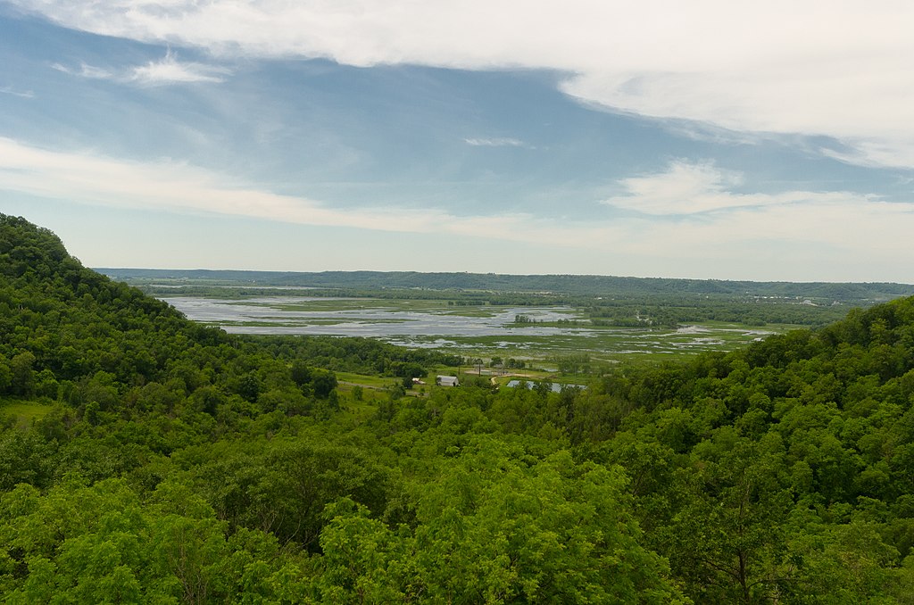
Chippewa River
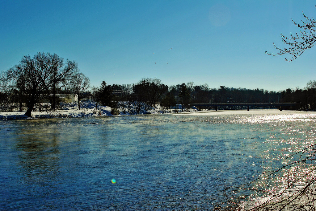
Red Cedar River
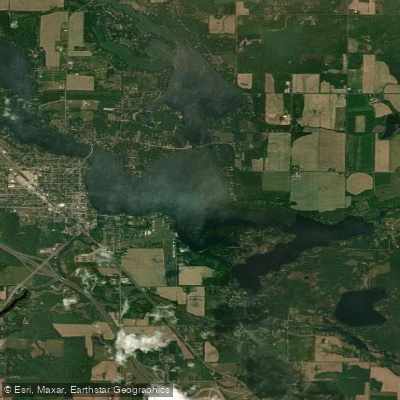
Lake Chetek

Mississippi River
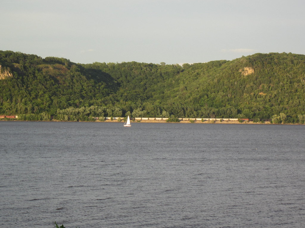
Lake Pepin
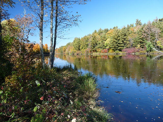
Flambeau River
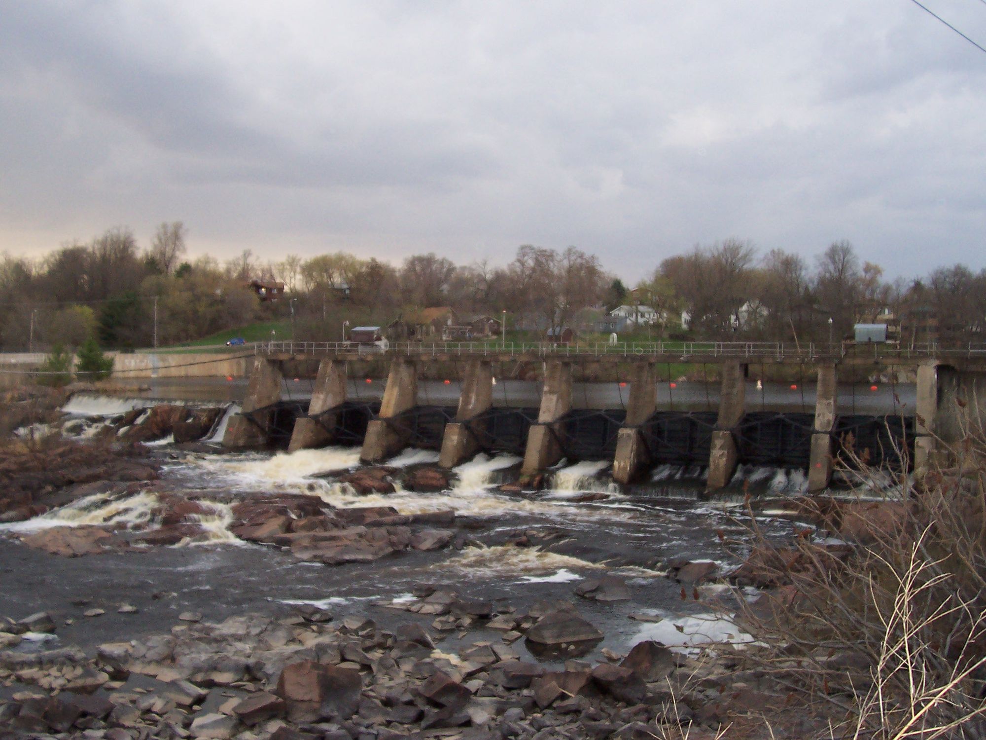
Black River

Willow River
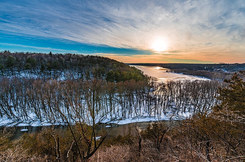
Kinnickinnic River
Explore Wisconsin waters
Top paddling waters
Popular Cities
Loading popular cities...
Explore near Yellow River
Access points
Nearby waters
More in Wisconsin

Smarter Paddling Starts in the App.
Paddleways gives you everything you need to plan smarter, paddle better, and own every trip from first launch to takeout.