Flambeau River
Flambeau River
- Boat Ramps
- 24
- Access Points
- 26
- Campsites
- 7
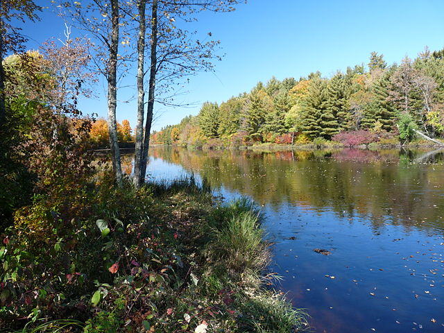
The Flambeau River, a jewel of northern Wisconsin, offers paddlers a diverse range of experiences from serene flatwater to exhilarating whitewater. Flowing through the heart of the Flambeau River State Forest, this scenic waterway is renowned for its natural beauty, abundant wildlife, and excellent paddling opportunities.
The river is composed of two main branches - the North Fork and the South Fork - which converge near the town of Park Falls. The North Fork, beginning at the Turtle-Flambeau Flowage, is the more popular and accessible of the two, offering a mix of flatwater and moderate rapids suitable for a wide range of skill levels. The South Fork, while less paddled, provides more challenging whitewater for experienced kayakers and canoeists.
Paddling opportunities on the Flambeau cater to all skill levels. Novices and families can enjoy the calm stretches of the North Fork between 9 Mile Creek Landing and Dix Dox Landing, where the river is wide and slow-moving with only occasional riffles. Intermediate paddlers will find excitement on sections like Camp 41 Landing to Beaver Dam Landing, which features several Class II rapids. For advanced whitewater enthusiasts, the South Fork offers technical runs with Class III-IV rapids, particularly in the stretch from County M Wayside to Hervas Camp Landing.
The best time to paddle the Flambeau is typically from late spring through early fall. Spring snowmelt can create high water levels, offering thrilling rides for experienced paddlers but potentially dangerous conditions for novices. Summer provides more stable water levels and pleasant weather, while fall rewards paddlers with spectacular foliage along the riverbanks.
Wildlife is abundant along the Flambeau, with opportunities to spot bald eagles, ospreys, otters, and deer. The river corridor is home to a diverse ecosystem of northern hardwood and coniferous forests, providing a picturesque backdrop for your journey. Notable landmarks include the scenic rock formations overlooking Prison Camp Rapids on the South Fork and the confluence of the North and South Forks near Flambeau Falls.
The river passes through or near several small towns, including Park Falls, Fifield, and Winter, which serve as convenient access points and resupply locations. The Flambeau River holds significant historical importance, having been used for centuries by Native American tribes and later by fur traders and loggers. Today, it's a protected waterway, cherished for its natural beauty and recreational opportunities.
Safety is paramount on the Flambeau. Paddlers should always wear life jackets, be aware of current water levels, and have appropriate skills for the section they're attempting. It's advisable to check with the Flambeau River State Forest headquarters for current conditions and any specific regulations.
For those seeking a multi-day adventure, the North Fork offers excellent canoe camping opportunities. The river features 14 rustic campsites along its banks within the state forest, allowing paddlers to immerse themselves in the wilderness experience. A popular multi-day trip involves putting in at 9 Mile Creek Landing and taking out at Beaver Dam Landing, a journey of about 40 miles that typically takes 3-4 days.
Whether you're seeking a peaceful float through pristine wilderness or an adrenaline-pumping whitewater experience, the Flambeau River offers a paddling adventure to remember in the heart of Wisconsin's northwoods.
Water access, boat ramps & amenities
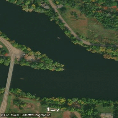
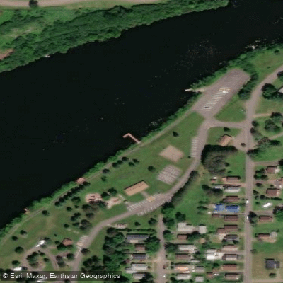
Learn how to get on Flambeau River. Uncover great paddling access points, boat ramps, and all the facilities you need for an unforgettable day on the water. Some locations shown may border or include private property. Always check property boundaries and applicable regulations before visiting. PaddleWays's Public & Private Land layer can help you plan your access with confidence.
Paddle smarter with real-time insights
Whether you're en route and conditions shift or you're looking for the best spot based on current flows, we enable you to make informed decisions on the fly.








Find Places to Paddle

Over 400,000 Places to Paddle
Every user gets free access to launch points, boat ramps, and public property parcels.


Water and weather conditions (10 day forecast)
See the best times to paddle Flambeau River and check the forecast before you go.
FLAMBEAU RIVER NEAR BRUCE, WI
Paddling near Flambeau River
Namekagon River
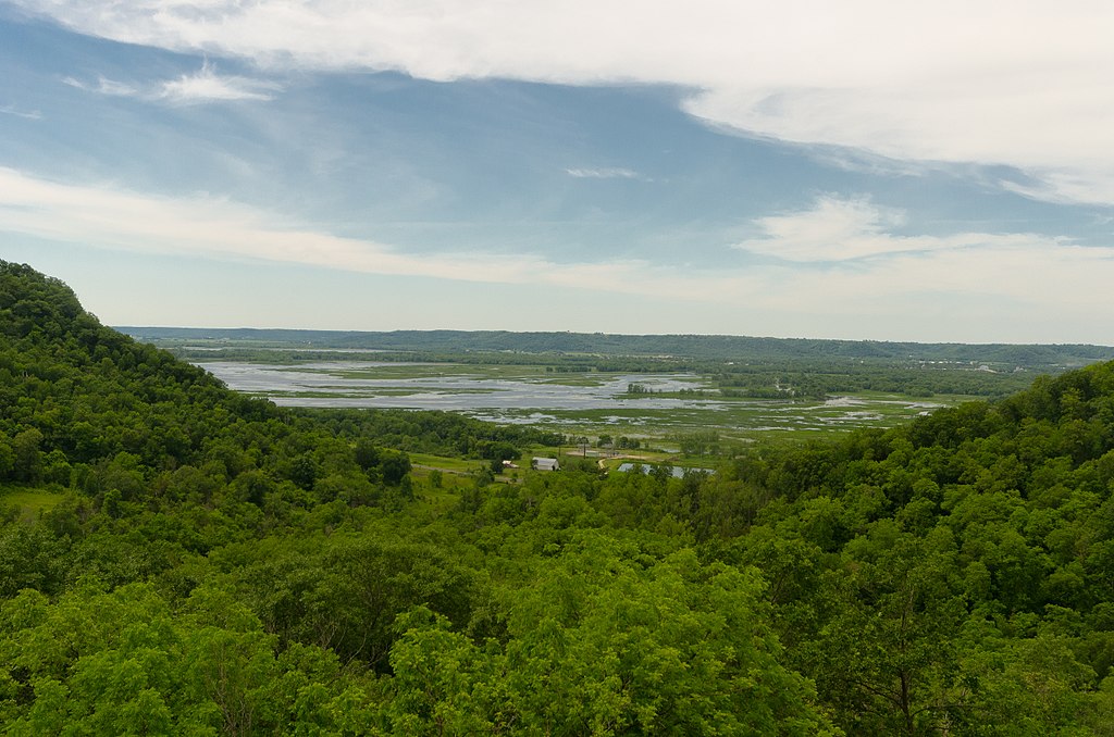
Chippewa River

Lake Superior
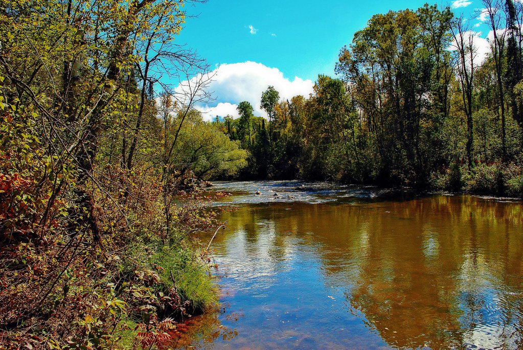
Bois Brule River
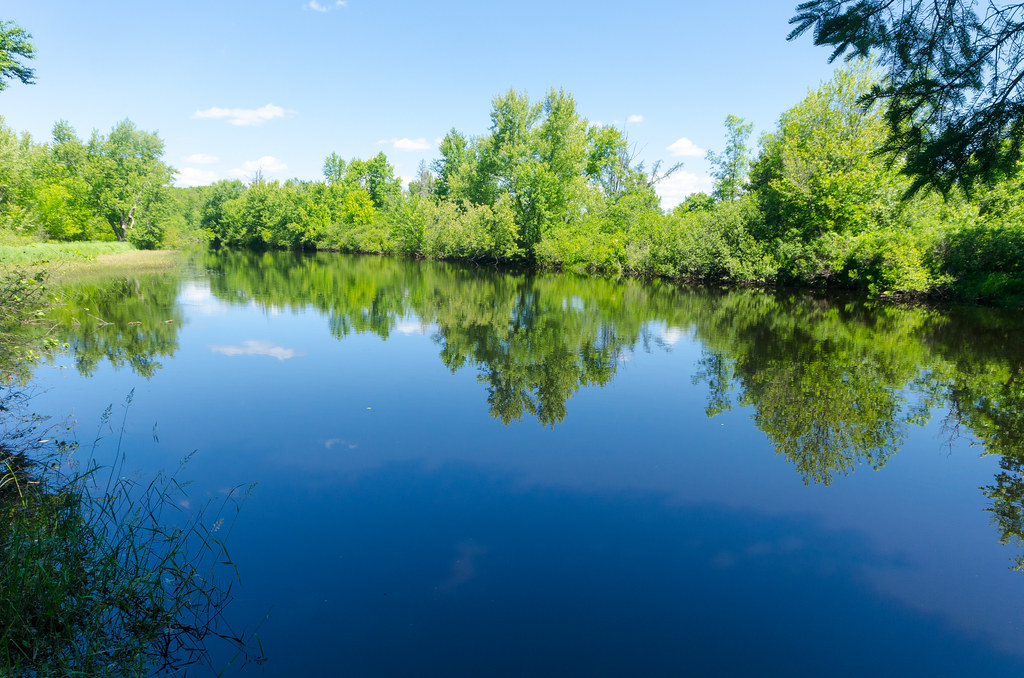
East Fork Chippewa River
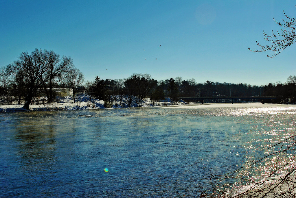
Red Cedar River
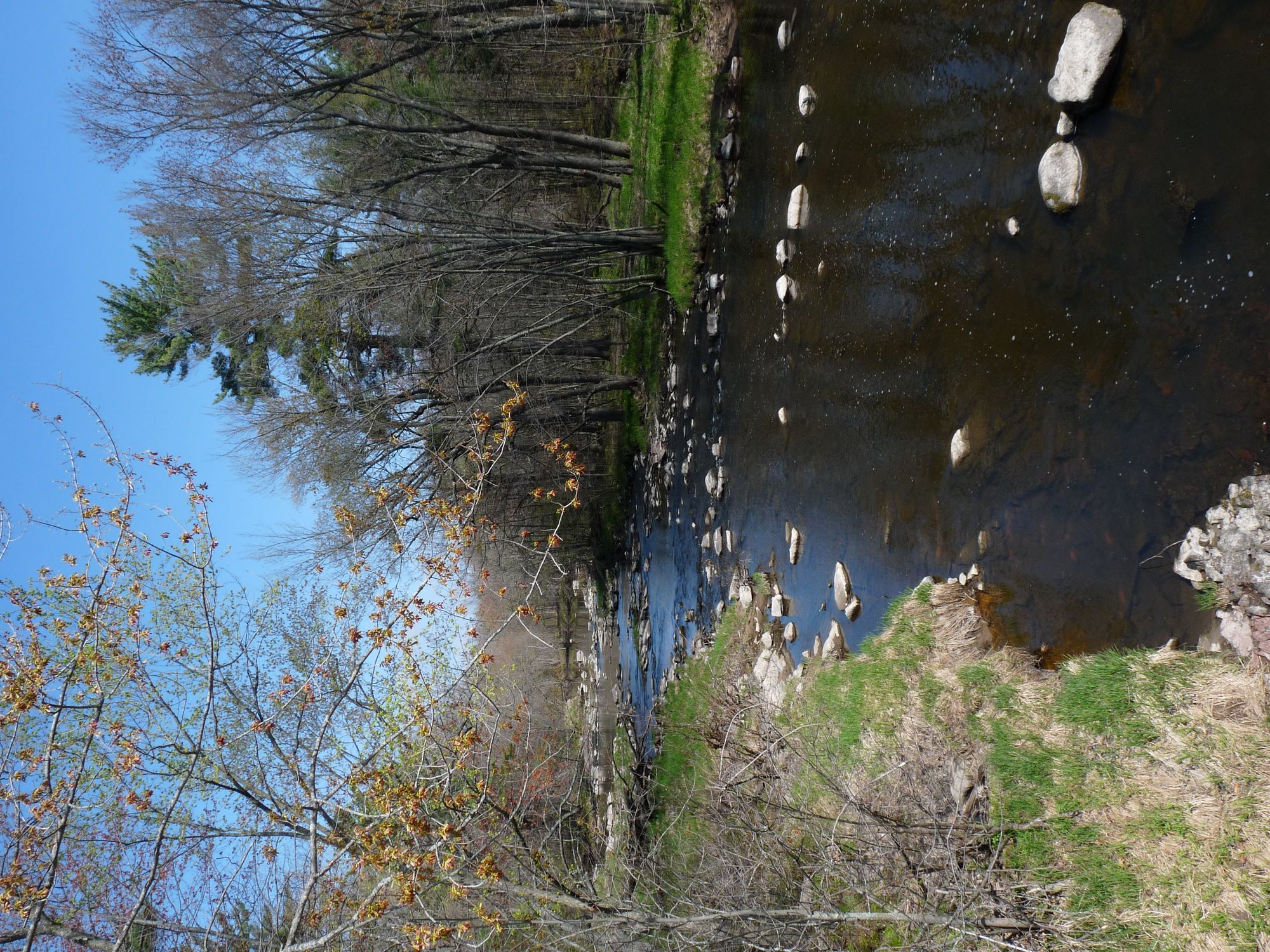
Yellow River
Long Lake Branch
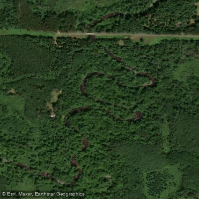
Totagatic River
Explore Wisconsin waters
Top paddling waters
Popular Cities
Loading popular cities...
Explore near Flambeau River
Access points
Nearby waters
More in Wisconsin

Smarter Paddling Starts in the App.
Paddleways gives you everything you need to plan smarter, paddle better, and own every trip from first launch to takeout.