Curated by PaddleWays
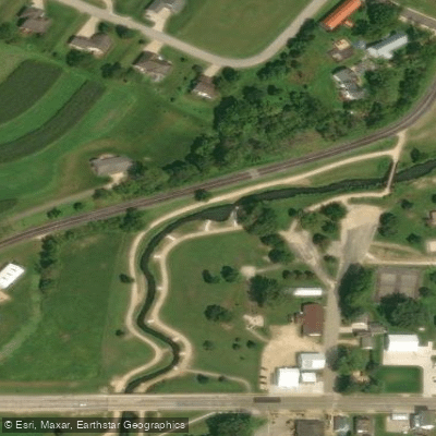
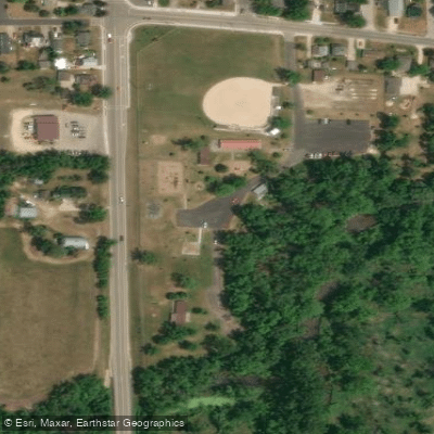
RouteClass I–II
- Distance
- 4.1 mi
- Paddle time
- ~1.5 hrs
- Put-in → take-out
- Veterans Memorial Park → Koll Road
Strainer at island rapid's west channel
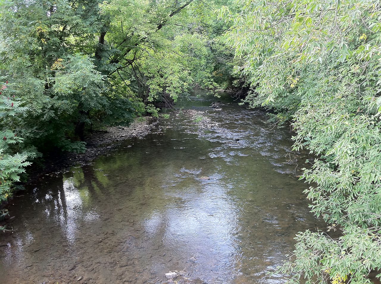
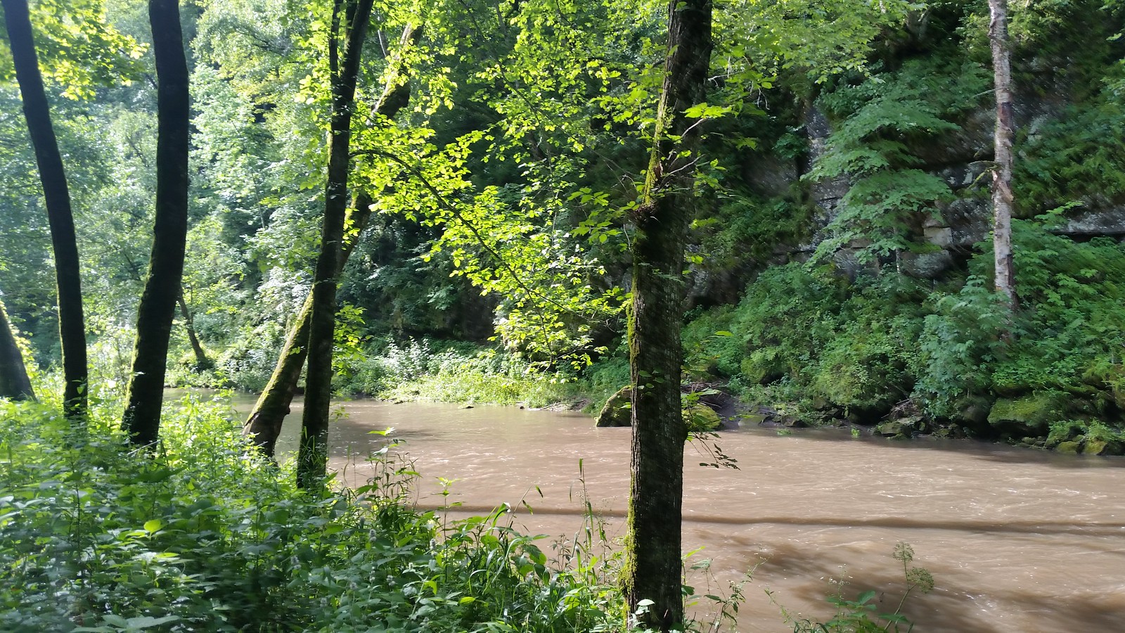
Coon Creek originates in the southwest portion of Monroe County, Wisconsin, with its headwaters rising in the unglaciated landscape of the Driftless Area. The creek flows generally westward through Vernon County before entering La Crosse County, where it empties into the Mississippi River several miles south of the city of La Crosse. This coldwater stream system encompasses approximately 120 square miles of watershed and represents one of the significant tributaries draining the Western Uplands region characterized by steep-sided valleys known locally as coulees.
The Coon Creek watershed supports a Class 1 trout fishery throughout much of its length, with native brook trout and stocked brown trout inhabiting the cold, spring-fed waters. The stream's excellent water quality results from extensive conservation efforts, including streambank stabilization and riparian buffer restoration. Anglers find productive fishing opportunities along public easements and within the Coon Creek Fishery Area, which comprises several properties managed by the Wisconsin DNR across Vernon, Monroe, and La Crosse Counties.
The surrounding landscape features a mix of hardwood forests dominated by oak, maple, and basswood on the ridgetops and slopes, with white pine and hemlock in protected ravines. The Eureka Maple Woods State Natural Area in Vernon County preserves an exceptional example of mesic forest along Timber Coulee Creek, a tributary of Coon Creek, showcasing rich herbaceous flora including uncommon species like squirrel corn, twinleaf, and Goldie's fern.
Access to Coon Creek is available through multiple public fishing easements marked by roadside signage throughout the watershed. The village of Chaseburg in Vernon County serves as a central access point, with State Highway 162 and County Highway P providing routes to various stream sections. Additional access exists near the unincorporated community of Coon Valley in Vernon County.
The creek's historical significance stems from its role in pioneering soil conservation practices. During the 1930s, Coon Creek became the site of the nation's first watershed-scale erosion control demonstration project, addressing severe siltation problems that plagued the stream. This watershed management approach influenced conservation practices nationwide and established principles still applied today.
Wildlife viewing opportunities include white-tailed deer, wild turkeys, and various songbird species sensitive to forest fragmentation, such as ovenbirds and wood thrushes. The stream corridor provides critical habitat connectivity through the agricultural landscape.
Paddling opportunities on Coon Creek are limited due to the stream's relatively small size, shallow depths, and numerous obstructions. The creek primarily serves as a coldwater fishery resource rather than a recreational paddling destination.
Curated routes
Hand-picked by the PaddleWays team, with put-ins, take-outs, paddle times and the hazards along the way.
RouteClass I–II
RouteClass I–II
Hazards
No paddler has reported a hazard here yet, so these are the dams, falls and big rapids on our map. Hazards change with flows and storms, so check them before you launch.
From the community
Nobody has shared a trip on Coon Creek yet. Paddle it, then tell the next paddler how it went.
See exactly where the public can get on and off the river. Launch points and boat ramps are paired with PaddleWays' public land data so you know where you can legally land.
Public shoreline
7%of the river's shoreline is public
Most of the riverbank is private. Launch, land and camp only at public access points.
Flows, weather and a route-by-route verdict, so you know which stretch of the Coon Creek is worth paddling today.
No forecast data available.
Live flows, marked hazards and fresh trip reports from paddlers who were just on the water, all in one place.





Every user gets free access to launch points, boat ramps, and public property parcels.

Loading popular cities...
PaddleWays gives you everything you need to plan smarter, paddle better, and own every trip from first launch to takeout.