Curated by PaddleWays
RouteClass I
- Distance
- 1 mi
- Paddle time
- ~0.5 hrs
- Put-in → take-out
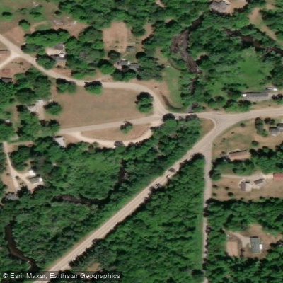
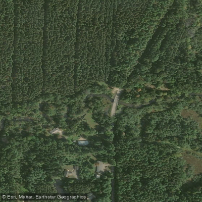
- Peter Nelson Park → Shadow Lake Road
Shooting range on river-right, make noise
The Crystal River flows through Waupaca County in central Wisconsin, earning its name from the exceptionally clear water that defines this intimate waterway. Beginning at Marl Lake near the town of Rural, the river winds approximately 12 miles through a landscape of connecting lakes and wooded corridors before eventually joining the Waupaca River system near the city of Waupaca.
The upper section of the Crystal River system encompasses a chain of small lakes including Marl Lake, Pope Lake, Manomin Lake, and Long Lake, where paddlers experience the distinctive blue-green waters characteristic of marl lakes before the waterway transitions to true river character. The actual river flow begins near Rural, where it transforms into a narrow, intimate stream that rarely exceeds four feet in depth and often runs as shallow as six inches over its sandy bottom.
Paddling opportunities range from flatwater lake exploration to Class II whitewater, making the Crystal accessible to beginners while offering enough variety to engage experienced paddlers. The most popular section runs from Rural to Shadow Lake Road in Little Hope, covering approximately 4.75 miles through the heart of what makes this river unique. Here, the Crystal flows through the charming town of Rural, where residents have tastefully landscaped the banks with rounded stones, small bridges, and whimsical touches including miniature working waterwheels and playful signage.
The river gradient averages about 5 feet per mile through the main paddling sections, creating plentiful riffles and mild rapids that are bumpy but never dangerous due to the shallow depth. The most significant whitewater occurs near the intersection of Highway K and Rural Road, where paddlers navigate through fun, technical drops that require maneuvering but remain forgiving.
Notable landmarks include the historic Red Mill at Little Hope, accompanied by an iconic red covered bridge that paddlers pass beneath—one of the river's most photographed features. Peter Nelson Park (also known as George and Louise Woods Memorial Park) serves as a popular access point near the mill. Downstream, paddlers pass a shooting range marked by a footbridge before reaching Shadow Lake Road, the traditional endpoint for most trips.
The removal of the Little Hope millpond dam has restored natural river flow to a section that was previously stagnant, adding to the Crystal's appeal. Beyond Shadow Lake Road, the river continues another 4.5 miles to Shadow Lake itself, accessed via a marked channel that branches left after Highway 10. This lower section sees less traffic and may encounter occasional log jams.
Water levels remain generally reliable except during drought conditions, with the river's shallow nature making it paddleable across a wide range of flows. Wildlife sightings commonly include deer, ducks, fish, hawks, and woodpeckers along the wooded banks and open meadow sections.
The entire paddleable length from Marl Lake to Shadow Lake can be completed as a full-day trip, though most paddlers choose shorter segments lasting 1.5 to 4 hours. The proximity to Waupaca and excellent shuttle options via quiet rural roads make the Crystal River an accessible destination for families and those new to paddling.
Curated routes
Hand-picked by the PaddleWays team, with put-ins, take-outs, paddle times and the hazards along the way.
RouteClass I
RouteFlatwater
RouteClass II
Hazards
No paddler has reported a hazard here yet, so these are the dams, falls and big rapids on our map. Hazards change with flows and storms, so check them before you launch.
From the community
Nobody has shared a trip on Crystal River yet. Paddle it, then tell the next paddler how it went.
See exactly where the public can get on and off the river. Launch points and boat ramps are paired with PaddleWays' public land data so you know where you can legally land.
Public shoreline
0%of the river's shoreline is public
Most of the riverbank is private. Launch, land and camp only at public access points.
Flows, weather and a route-by-route verdict, so you know which stretch of the Crystal River is worth paddling today.
No forecast data available.
Live flows, marked hazards and fresh trip reports from paddlers who were just on the water, all in one place.





Every user gets free access to launch points, boat ramps, and public property parcels.
Loading popular cities...
PaddleWays gives you everything you need to plan smarter, paddle better, and own every trip from first launch to takeout.