Curated by PaddleWays
RouteFlatwater
- Distance
- 2.8 mi
- Paddle time
- 1–2 hrs
- Best for
- Kayak, canoe
- Put-in → take-out
- Bell School Road → Highway 20
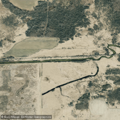
Honey Creek originates in northeastern Walworth County near the Lauderdale Lakes and flows eastward approximately 15 miles before joining the White River near Burlington. This clear-flowing tributary drains a landscape shaped by Wisconsin's glacial past, coursing through former oak savanna and prairie lands now largely converted to agricultural use. The creek passes through a transitional zone where the pitted outwash terrain of the Kettle Moraine gradually gives way to flatter, more marshy lowlands as it approaches its confluence.
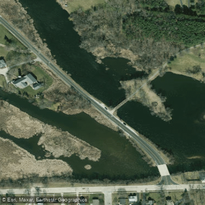
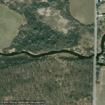
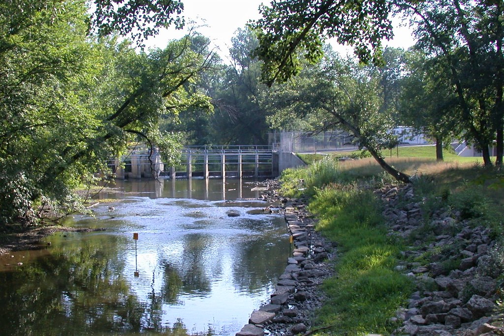
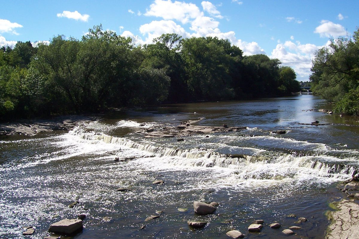
The most paddleable sections of Honey Creek lie between Carver School Road and Highway 20, offering roughly 7 miles of navigable water. The upper portion from Carver School Road to Bell School Road presents an attractive mix of marsh and wooded corridor, beginning with cattail-lined banks before transitioning to clearer, faster-moving water over a sandy substrate. A small dam at Hillburn requires an easy portage. Downstream from Bell School Road to Highway 20, the creek maintains its clarity and develops a more pronounced gradient, creating light Class I riffles over gravel and rock. This 3.6-mile segment features the creek's most appealing characteristics: clean water, minimal obstructions, and attractive wooded banks alongside glacially-deposited drumlins.
Water levels prove critical on Honey Creek. The stream requires recent rainfall or snowmelt to maintain adequate depth, particularly in the upper sections where shallow spots can necessitate occasional wading. The sandy and gravelly bottom makes this less problematic than on muddy streams, but paddlers should scout from bridges before committing to longer trips. Spring through early summer typically provides the most reliable conditions.
The creek supports a healthy warm-water ecosystem including smallmouth bass, various sunfish species, and numerous softshell and snapping turtles. Sandhill cranes frequent the marshy sections, while wood ducks and great blue herons patrol the wooded stretches. The clear water allows observation of abundant aquatic life including freshwater clams and various minnow species.
Railroad tracks parallel much of the creek's middle section, with freight trains providing occasional industrial accompaniment to otherwise quiet paddling. The proximity to East Troy's wastewater treatment facility introduces some aquatic vegetation in certain stretches, though water quality remains generally good.
Access points include bridge crossings at Carver School Road, Bell School Road, Hill Valley Road, and Highway 20, though not all offer ideal parking or launch conditions. Bell School Road and Highway 20 provide the most practical put-in and take-out options for day trips.
Honey Creek remains remarkably underutilized despite its proximity to Milwaukee's suburbs, offering paddlers seeking smaller, intimate streams an opportunity to explore a relatively unspoiled waterway. The creek's narrow width (typically 25-40 feet) and occasional shallow sections make it best suited for kayaks rather than canoes, and solo paddlers will find maneuvering easier than tandem crews.
Curated routes
Hand-picked by the PaddleWays team, with put-ins, take-outs, paddle times and the hazards along the way.
RouteFlatwater
Hazards
No paddler has reported a hazard here yet, so these are the dams, falls and big rapids on our map. Hazards change with flows and storms, so check them before you launch.
From the community
Nobody has shared a trip on Honey Creek yet. Paddle it, then tell the next paddler how it went.
See exactly where the public can get on and off the river. Launch points and boat ramps are paired with PaddleWays' public land data so you know where you can legally land.
Public shoreline
13%of the river's shoreline is public
Most of the riverbank is private. Launch, land and camp only at public access points.
Flows, weather and a route-by-route verdict, so you know which stretch of the Honey Creek is worth paddling today.
No forecast data available.
Live flows, marked hazards and fresh trip reports from paddlers who were just on the water, all in one place.





Every user gets free access to launch points, boat ramps, and public property parcels.

Loading popular cities...
PaddleWays gives you everything you need to plan smarter, paddle better, and own every trip from first launch to takeout.