Iron River
Iron River
- Boat Ramps
- 1
- Access Points
- 1
- Campsites
- 2
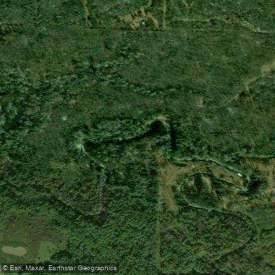
The Iron River originates in northwestern Wisconsin's Bayfield County and flows northward for approximately 30 miles before emptying into Lake Superior near the town of Iron River. This cold, clear stream drains a watershed of roughly 100 square miles within the heavily forested Chequamegon-Nicolet National Forest. Paddlers will find the Iron River offers an enjoyable mix of quiet flatwater sections interspersed with occasional Class I-II rapids, making it suitable for novice to intermediate canoeists and kayakers. The upper reaches feature a narrower, more intimate setting winding through dense woodlands, while the lower river widens as it approaches Lake Superior.
Several access points allow for day trips of varying lengths. A popular 7-mile stretch runs from County Highway A to Highway 2, passing through a scenic gorge with modest rapids. More experienced paddlers can tackle the entire river over 2-3 days, camping at primitive sites along the banks.
Spring and early summer typically provide the best water levels for paddling the Iron River. By late summer, low water can make some rapids too shallow to run. The river is generally ice-free from April through November.
Wildlife is abundant along the Iron River. Paddlers may spot bald eagles, osprey, otters, and deer. The river supports a healthy population of brook and brown trout, making it popular among fly fishermen as well.
Key landmarks include the Iron River Falls, a series of small cascades near the town of Iron River, and the historic Iron River Fish Hatchery, established in 1892. The river played an important role in the region's logging history, with remnants of old splash dams still visible in some locations.
Access points with parking are available off County Highways A, H, and 2. The town of Iron River serves as the primary gateway community, offering lodging, supplies, and shuttle services.
Paddlers should be aware of woody debris creating potential strainers in some sections. Life jackets are required by law. Anglers need a Wisconsin fishing license and should check regulations, as special rules apply to this designated trout stream.
The Iron River provides an excellent opportunity to experience the natural beauty and rich history of Wisconsin's Northwoods region via a scenic and manageable waterway.
Water access, boat ramps & amenities
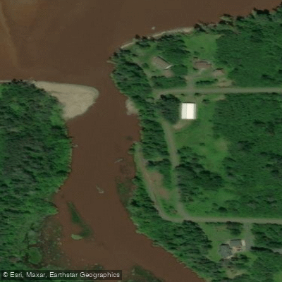
Learn how to get on Iron River. Uncover great paddling access points, boat ramps, and all the facilities you need for an unforgettable day on the water. Some locations shown may border or include private property. Always check property boundaries and applicable regulations before visiting. PaddleWays's Public & Private Land layer can help you plan your access with confidence.
Paddle smarter with real-time insights
Whether you're en route and conditions shift or you're looking for the best spot based on current flows, we enable you to make informed decisions on the fly.








Find Places to Paddle

Over 400,000 Places to Paddle
Every user gets free access to launch points, boat ramps, and public property parcels.


Water and weather conditions (10 day forecast)
See the best times to paddle Iron River and check the forecast before you go.
No forecast data available.
Paddling near Iron River

Lake Superior
Bois Brule River
Namekagon River
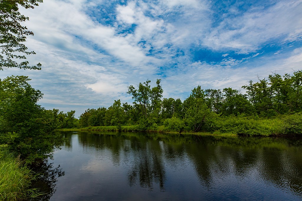
Cloquet River
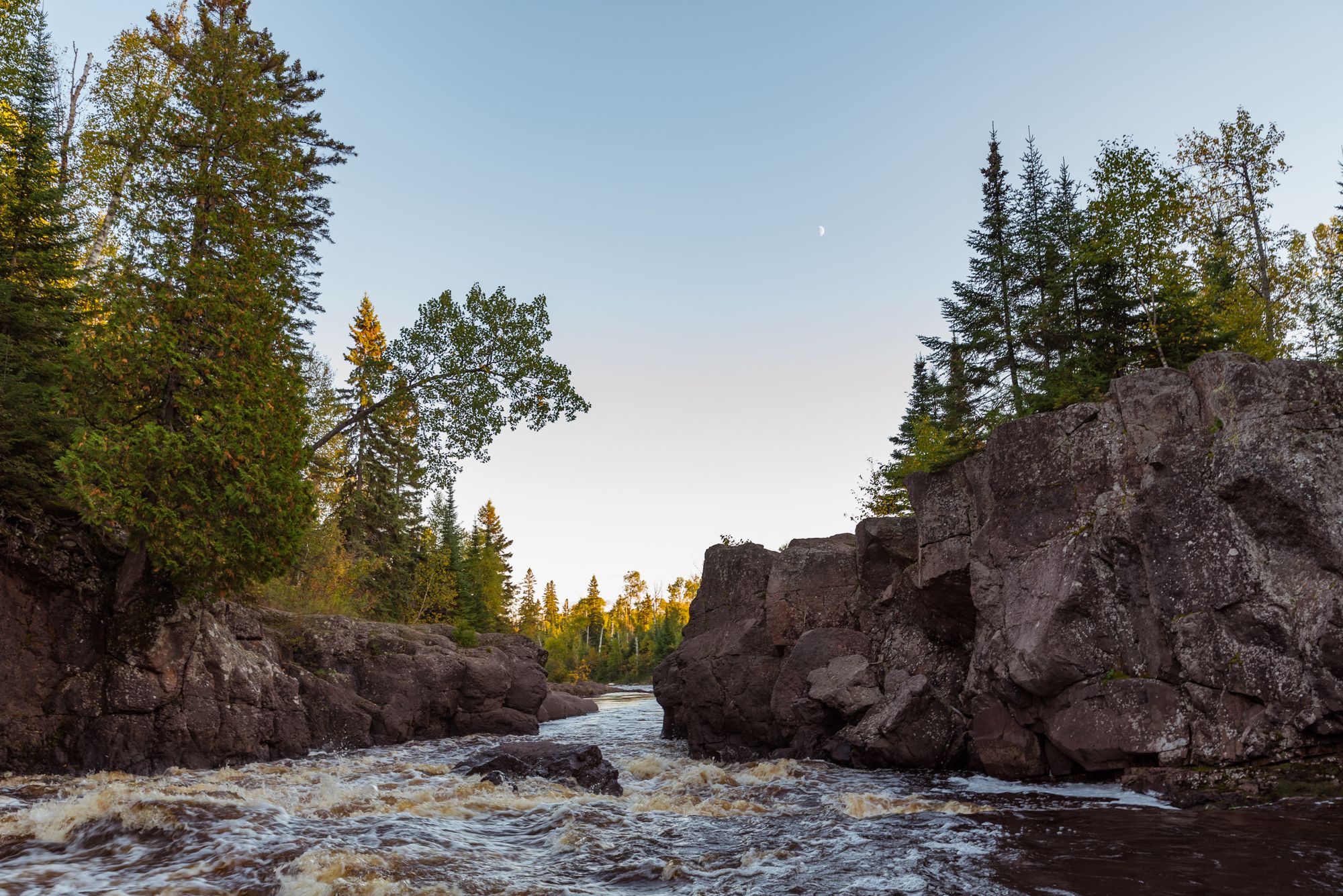
Temperance River
Bad River
White River
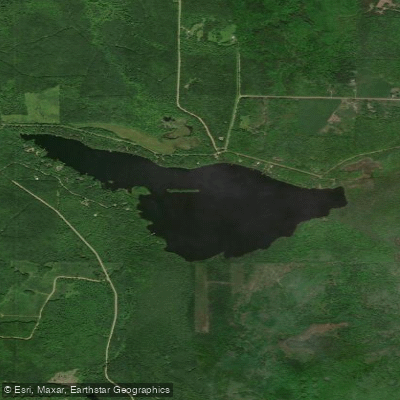
Siskiwit Lake
Long Lake Branch
Explore Wisconsin waters
Top paddling waters
Popular Cities
Loading popular cities...
Explore near Iron River

Smarter Paddling Starts in the App.
Paddleways gives you everything you need to plan smarter, paddle better, and own every trip from first launch to takeout.