White River
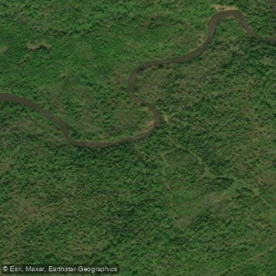
White River
- Boat Ramps
- 4
- Access Points
- 5
- Campsites
- 1
The White River originates in central Bayfield County, Wisconsin, formed by the confluence of its East, West, and South Forks in the Porcupine Lake Wilderness Area of the Chequamegon National Forest. From there, it flows generally eastward for approximately 46 miles before joining the Bad River near Odanah in Ashland County, eventually draining into Lake Superior through the Bad River-Kakagon Sloughs.
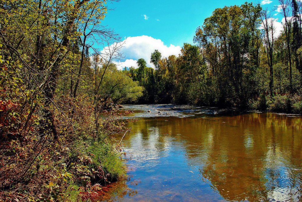
The river's most distinctive characteristic is its transformation as it progresses downstream. In its upper reaches near Delta, the White River maintains exceptional water clarity with a sandy bottom, flowing through spring-fed headwaters that support excellent trout habitat. The middle section through the Bibon Swamp State Natural Area represents one of the largest non-coastal wetland complexes in the Superior Coastal Plain, creating a vast, roadless corridor of ecological significance. As the river approaches Ashland County, it carves through dramatic clay banks that tower 50-100 feet above the water, their distinctive red color creating striking visual contrasts with the surrounding boreal forest.
Paddling opportunities center on the 15-mile segment from Maple Ridge Road Bridge to Highway 112 Dam, considered one of Wisconsin's premier wilderness paddling experiences. This stretch features nearly continuous Class I-II rapids with minimal development—only three to four cabins visible along the entire route. The gradient averages 2.4 feet per mile, creating consistent riffles and small rapids suitable for intermediate paddlers. A shorter section from Mason to Maple Ridge Road offers flatwater paddling through marshland. The river's remote character means paddlers should be self-sufficient and comfortable with limited access points. Water levels remain generally adequate throughout the paddling season, though the White River Flowage can be drawn down for dam maintenance, significantly affecting downstream conditions. Spring and early summer typically provide optimal flows, while late summer can become shallow in certain sections.
The river corridor supports diverse wildlife including white-tailed deer, river otters, beavers, and bald eagles. The surrounding forest transitions from northern hardwoods to boreal species including white spruce, balsam fir, and white cedar. Brown and brook trout thrive in the cold, clear upper reaches, while the lower river supports northern pike and various warm-water species.
Access points include Mason (White River Park), Sutherland Bridge, Goldberg Landing, and the Highway 112 Dam area. The nearest communities are Delta, Mason, and Odanah, with Ashland providing the closest full services.
The White River holds cultural significance for the Bad River Band of Lake Superior Chippewa, flowing through their reservation before joining the Bad River. The Bibon Swamp area has been recognized as an Important Bird Area and contains multiple State Natural Areas protecting rare plant communities and breeding habitat for numerous species of conservation concern.
Paddlers should note the river's remoteness—there are no roads or bridges for miles in the Bibon Swamp section, making emergency egress difficult. The White River Hydroelectric Dam requires portaging, and paddlers must be aware of scheduled water releases. All dogs must be leashed April 15-July 31 to protect ground-nesting birds.
Water access, boat ramps & amenities
Learn how to get on White River. Uncover great paddling access points, boat ramps, and all the facilities you need for an unforgettable day on the water. Some locations shown may border or include private property. Always check property boundaries and applicable regulations before visiting. PaddleWays's Public & Private Land layer can help you plan your access with confidence.
Paddle smarter with real-time insights
Whether you're en route and conditions shift or you're looking for the best spot based on current flows, we enable you to make informed decisions on the fly.








Find Places to Paddle

Over 400,000 Places to Paddle
Every user gets free access to launch points, boat ramps, and public property parcels.


Water and weather conditions (10 day forecast)
See the best times to paddle White River and check the forecast before you go.
WHITE RIVER NEAR ASHLAND, WI
Paddling near White River
Namekagon River
Chippewa River

Lake Superior
Bois Brule River
Flambeau River
East Fork Chippewa River
Red Cedar River
Yellow River
Long Lake Branch
Totagatic River
Explore Wisconsin waters
Top paddling waters
Popular Cities
Loading popular cities...
Explore near White River
Access points
Nearby waters
More in Wisconsin

Smarter Paddling Starts in the App.
Paddleways gives you everything you need to plan smarter, paddle better, and own every trip from first launch to takeout.