Curated by PaddleWays
RouteClass II
- Distance
- 1.1 mi
- Paddle time
- ~0.5 hrs
- Put-in → take-out
- Squaw Lake Dam → Buckley Ct
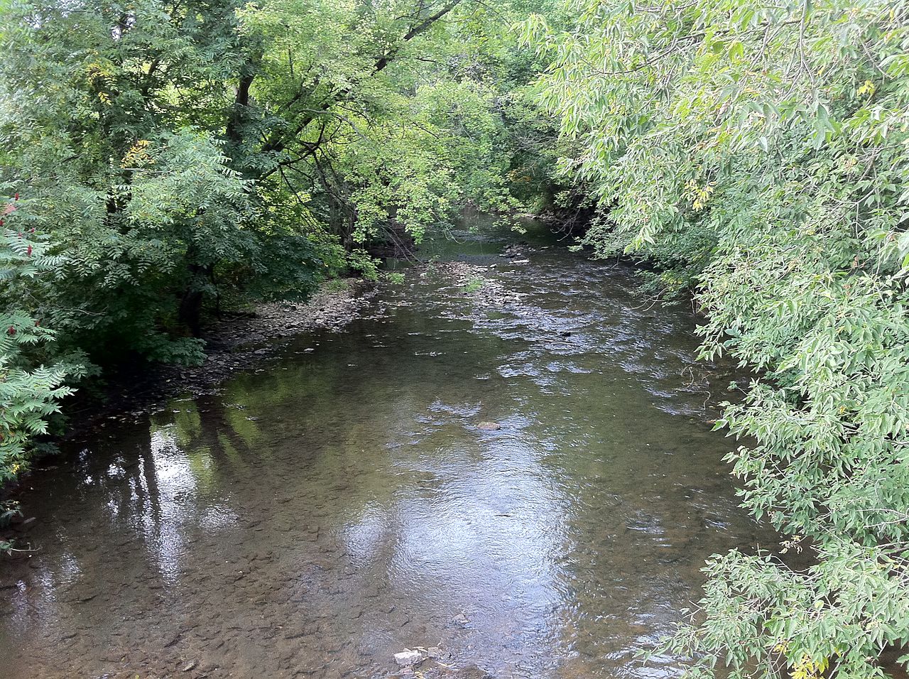
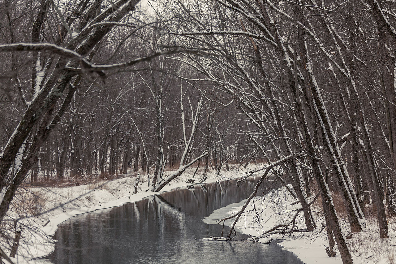
The La Crosse River is a scenic waterway in western Wisconsin, originating in northern Monroe County and flowing generally southwest for approximately 61 miles before joining the Mississippi River at La Crosse. This river system drains a watershed of about 475 square miles, with Beaver Creek serving as its main tributary.
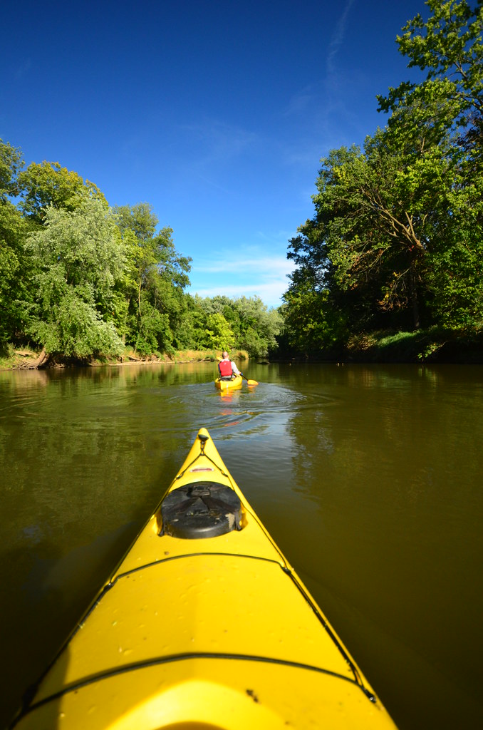
Paddling opportunities on the La Crosse River are diverse and appealing to a wide range of skill levels. The river is generally divided into several popular sections, including Sparta to Bangor (17 miles), Sparta to Rockland (12 miles), and West Salem to the Mississippi River confluence (14 miles). These stretches offer a mix of quiet water paddling and more engaging Class I-II rapids, making it suitable for both beginners and intermediate paddlers. The river's difficulty ranges from flatwater sections to Class II rapids, with the most challenging areas typically found near Sparta and in the stretch from Neshonoc Lake Dam to Veterans Memorial County Park. Paddlers should be comfortable with swift currents, occasional ledges, and the possibility of downed trees, especially after storms.
Spring and early summer are ideal times for paddling the La Crosse River, with higher water levels providing the best conditions. However, the river is often navigable throughout the summer and into early fall, though lower water levels may require more careful navigation in some areas.
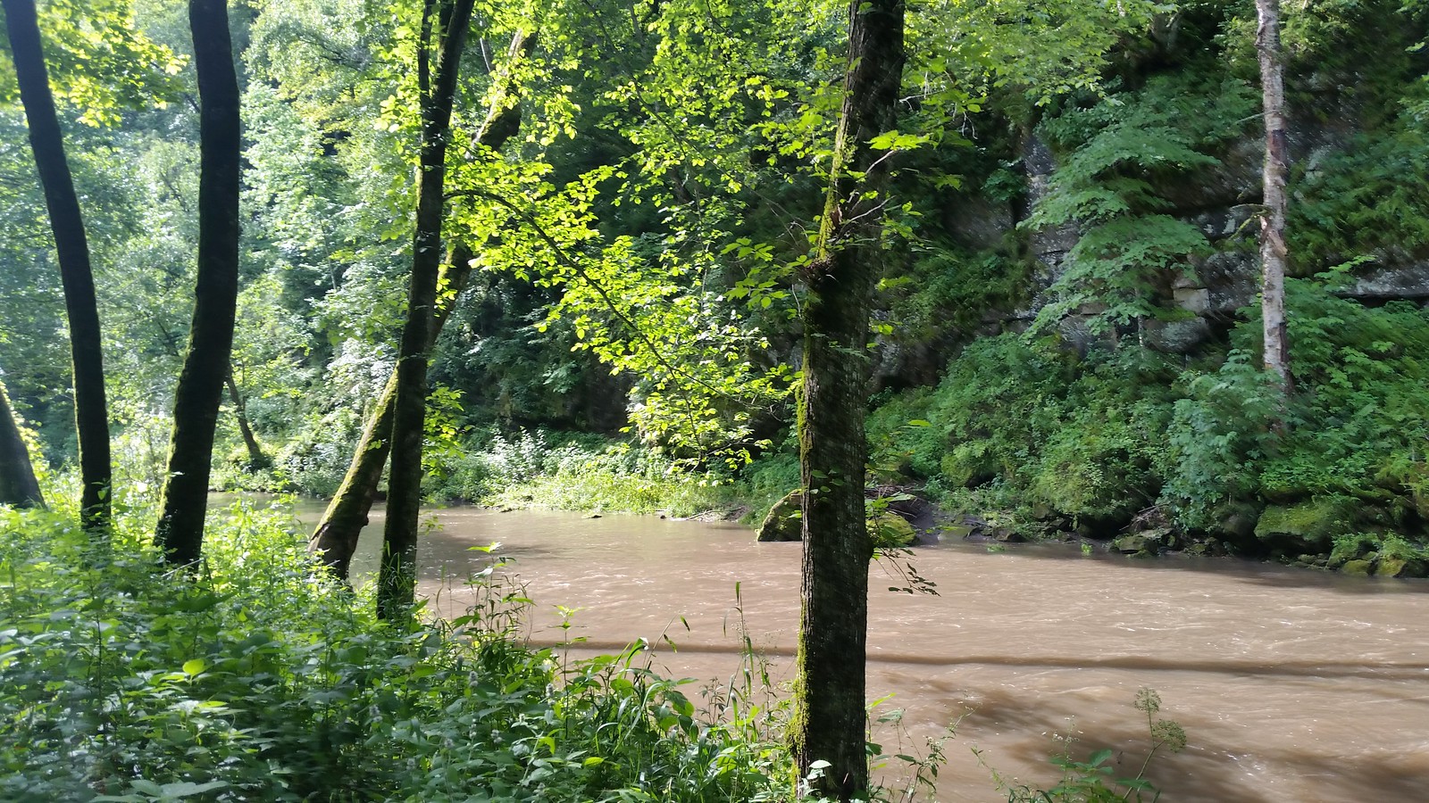
The La Crosse River valley is home to diverse flora and fauna. Paddlers may encounter various fish species, including trout in some sections, as well as wildlife such as deer, eagles, and waterfowl. The river corridor is framed by scenic bluffs and passes through a mix of forested and agricultural landscapes.
Key landmarks along the river include the La Crosse River State Trail, which parallels much of the waterway, the Neshonoc Lake Dam, and the unique box canyon near West Salem. The river also flows past several parks and natural areas, offering opportunities for side excursions and camping.
Major access points include Fisherman's Park in Sparta, Veterans Memorial County Park in West Salem, and various landings in Bangor, Rockland, and La Crosse. These access points are well-maintained and provide convenient put-in and take-out locations for day trips or longer excursions.
Historically, the La Crosse River played a significant role in the region's logging industry and early settlement. Today, it serves as an important recreational resource and natural corridor, connecting several communities and providing a link to the Mississippi River.
Safety considerations include being aware of water levels, watching for strainers and downed trees, and respecting private property along the banks. Paddlers should also be prepared for limited cell phone coverage in some areas and carry appropriate safety gear.
For those interested in multi-day trips, it's possible to combine several sections of the river, potentially paddling from Sparta all the way to the Mississippi River over 2-3 days. Camping options are available at various points along the route, including Neshonoc Lakeside Campground near West Salem.
Curated routes
Hand-picked by the PaddleWays team, with put-ins, take-outs, paddle times and the hazards along the way.
RouteClass II
RouteFlatwater
RouteClass II
RouteClass II
RouteClass I–II
RouteClass I
RouteClass II
Hazards
No paddler has reported a hazard here yet, so these are the dams, falls and big rapids on our map. Hazards change with flows and storms, so check them before you launch.
From the community
Real trips from PaddleWays paddlers: which route they ran, how the flows were, and what to watch for.
Loading trip reports
Mo O.
Kayak •
388 cfs at La Crosse
Neshonoc Access to Holiday Heights Access
See exactly where the public can get on and off the river. Launch points and boat ramps are paired with PaddleWays' public land data so you know where you can legally land.
Public shoreline
10%of the river's shoreline is public
Most of the riverbank is private. Launch, land and camp only at public access points.
Flows, weather and a route-by-route verdict, so you know which stretch of the La Crosse River is worth paddling today.
All Flow Stations
Live flows, marked hazards and fresh trip reports from paddlers who were just on the water, all in one place.





Every user gets free access to launch points, boat ramps, and public property parcels.

Loading popular cities...
PaddleWays gives you everything you need to plan smarter, paddle better, and own every trip from first launch to takeout.