Curated by PaddleWays
RouteFlatwater
- Distance
- 2.7 mi
- Paddle time
- ~1 hr
- Best for
- Beginners
- Put-in → take-out
- Highway H → River Road
Four to six logjams to navigate
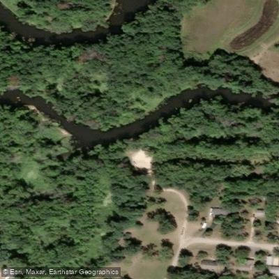
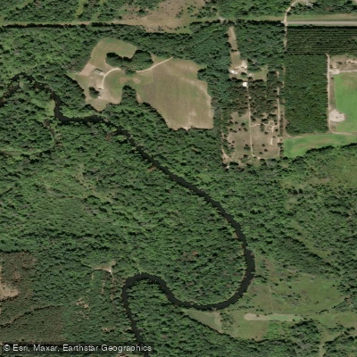
The Lemonweir River is a scenic waterway in central Wisconsin, originating near Tomah in Monroe County and flowing westward through Juneau County before joining the Wisconsin River. This meandering river stretches approximately 70 miles, draining a watershed of mixed forest and agricultural lands. The Lemonweir offers paddlers a variety of experiences, from narrow, winding sections near its headwaters to wider, more leisurely stretches as it approaches the Wisconsin River. Popular paddling segments include New Lisbon to Mauston (7.7 miles), the South Fork Lemonweir, and the lower sections from Mauston to the Wisconsin River confluence (24 miles).
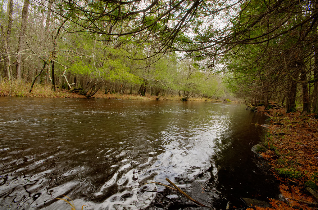
The river is primarily flatwater, suitable for beginners and families, though occasional logjams may require short portages. Spring and early summer typically provide the best water levels for paddling, with fall offering scenic foliage. Summers can be pleasant but may have lower water levels in drier years. The river winds through a mix of woodlands, wetlands, and occasional farmland, supporting diverse wildlife including deer, waterfowl, and various fish species.
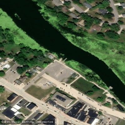
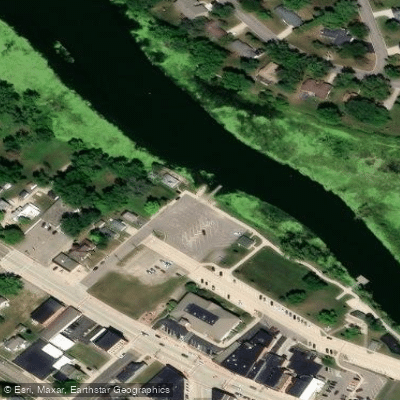
Key landmarks include Lake Tomah at the river's source, a notable rock formation between New Lisbon and Mauston, and the river's increasingly labyrinthine path through the Lemonweir River bottomlands near its mouth. Access points are available in several towns along the route, including Tomah, New Lisbon, and Mauston, with Riverside Park in Mauston being a popular put-in or take-out spot.
The Lemonweir played a role in early logging operations and continues to be an important recreational and ecological resource for the region. Paddlers should be aware of two dams requiring portages and occasional high water conditions that may submerge bridges, particularly near Mauston. For those seeking longer adventures, the lower 24-mile section from Mauston to the Wisconsin River can be divided into shorter segments or tackled as a full-day journey. The river's confluence with the Wisconsin River, marked by a scenic sandbar, provides a satisfying endpoint for multi-day trips.
Paddlers on the Lemonweir can expect a peaceful journey through what often feels like remote countryside, despite its proximity to several small towns. The river's gentle current, abundant wildlife, and varied scenery make it an excellent choice for those looking to explore central Wisconsin's waterways.
Curated routes
Hand-picked by the PaddleWays team, with put-ins, take-outs, paddle times and the hazards along the way.
RouteFlatwater
RouteFlatwater
RouteFlatwater
Hazards
No paddler has reported a hazard here yet, so these are the dams, falls and big rapids on our map. Hazards change with flows and storms, so check them before you launch.
From the community
Nobody has shared a trip on Lemonweir River yet. Paddle it, then tell the next paddler how it went.
See exactly where the public can get on and off the river. Launch points and boat ramps are paired with PaddleWays' public land data so you know where you can legally land.
Public shoreline
3%of the river's shoreline is public
Most of the riverbank is private. Launch, land and camp only at public access points.
Flows, weather and a route-by-route verdict, so you know which stretch of the Lemonweir River is worth paddling today.
Live flows, marked hazards and fresh trip reports from paddlers who were just on the water, all in one place.





Every user gets free access to launch points, boat ramps, and public property parcels.
Loading popular cities...
PaddleWays gives you everything you need to plan smarter, paddle better, and own every trip from first launch to takeout.