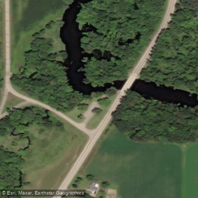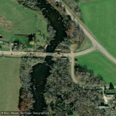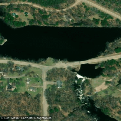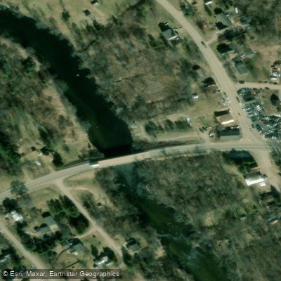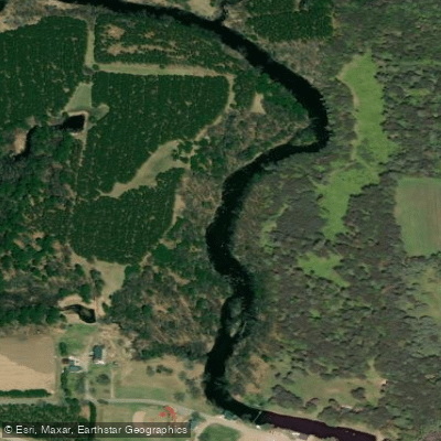
Curated by PaddleWays
RouteClass I–II
- Distance
- 1.9 mi
- Paddle time
- ~0.5 hrs
- Best for
- Beginners, intermediate paddlers
- Put-in → take-out
- Highway 22/Symco → Bridge Road Access
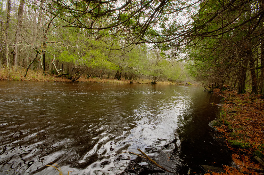
The Little Wolf River is a scenic waterway in central Wisconsin, originating near Galloway in southeast Marathon County. It flows southeast through Waupaca County, passing through the communities of Big Falls and Manawa before joining the Wolf River near New London. The river is approximately 70 miles long and is part of the larger Wolf River watershed. The Little Wolf offers diverse paddling opportunities, ranging from challenging whitewater in its upper reaches to more relaxed flatwater sections downstream.
The most popular whitewater run extends from Wolf River Road to Big Falls, featuring continuous Class I-II rapids with some Class III sections. This 7.7-mile stretch is renowned for its clear water, boulder gardens, and nearly undeveloped corridor. Downstream of Big Falls, the river transitions to a mix of gentle rapids and flatwater, ideal for intermediate paddlers and families. Notable sections include the short but exciting Little Falls Park stretch and the scenic Symco to Manawa segment. Near New London, the river becomes suitable for tubing and novice paddlers.
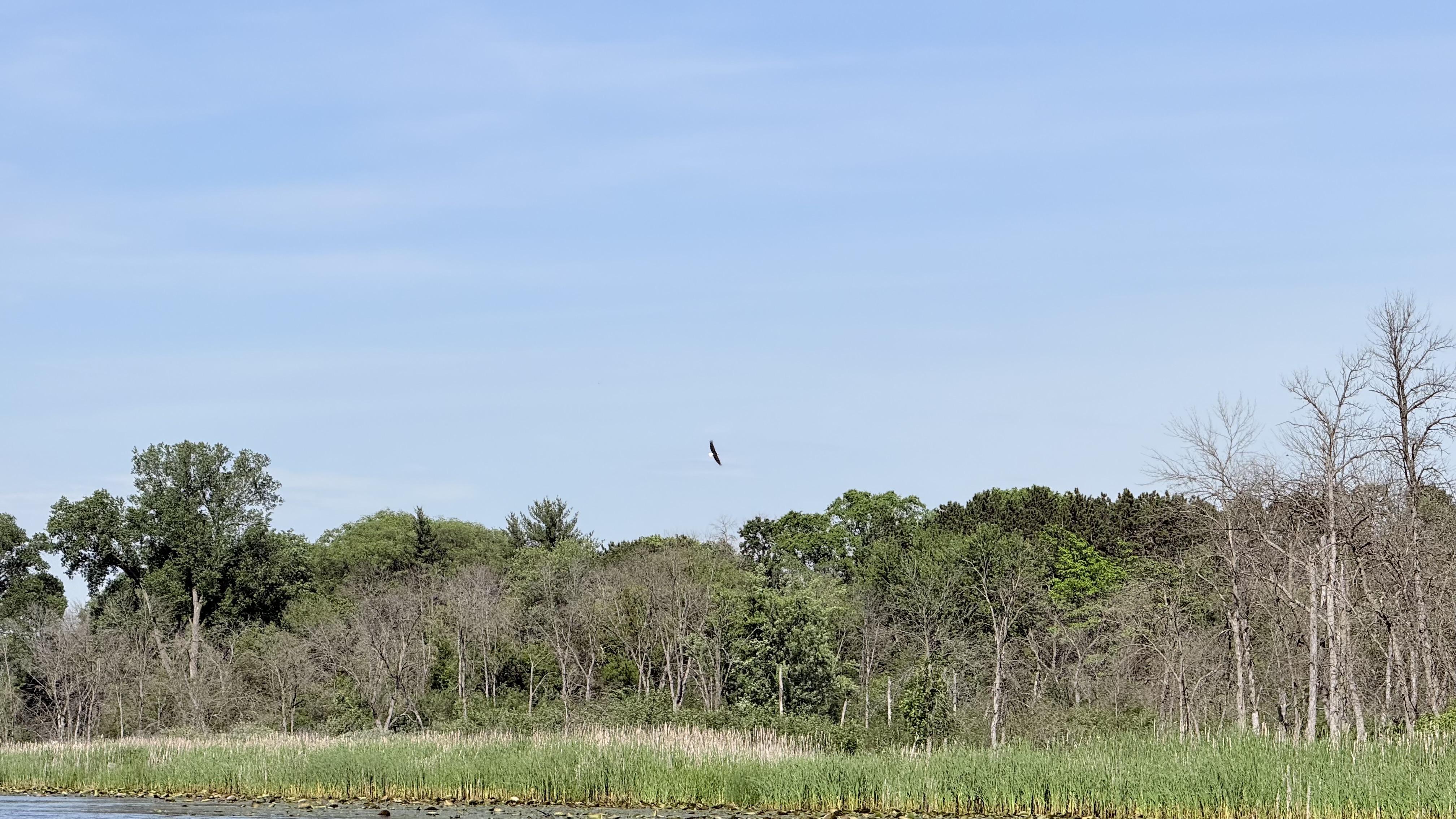
The Little Wolf's difficulty ranges from Class I to III, with the upper sections requiring solid whitewater skills and the lower reaches accessible to beginners. Spring typically offers the best water levels for whitewater enthusiasts, while summer and fall provide pleasant conditions for all skill levels. The river corridor supports diverse wildlife, including bald eagles, deer, and various fish species. Paddlers can enjoy a mix of forested banks, occasional rock outcroppings, and pastoral landscapes as they progress downstream.
Key access points include Ness Road, Wolf River Road, Big Falls, Little Falls Park, Symco, and Manawa. The town of New London serves as a hub for river activities, with outfitters offering tubing and kayaking trips. Historically, the Little Wolf played a role in logging operations and supported several small mill towns. Today, it's valued for its recreational opportunities and natural beauty.
Safety considerations include wearing life jackets, being prepared for sudden water level changes, and respecting private property along the banks. Some sections may require portaging around dams or hazardous rapids. For those seeking a multi-day adventure, it's possible to combine various sections of the Little Wolf for an extended trip, with camping options available at designated sites and nearby state parks.
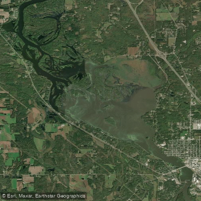
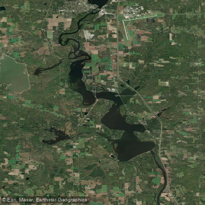
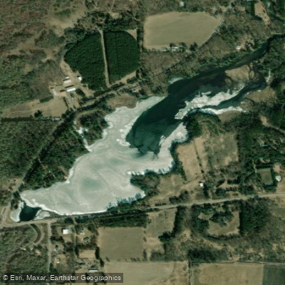
Curated routes
Hand-picked by the PaddleWays team, with put-ins, take-outs, paddle times and the hazards along the way.
RouteClass I–II
RouteClass I–II
RouteClass I–II
Hazards
No paddler has reported a hazard here yet, so these are the dams, falls and big rapids on our map. Hazards change with flows and storms, so check them before you launch.
From the community
Nobody has shared a trip on Little Wolf River yet. Paddle it, then tell the next paddler how it went.
See exactly where the public can get on and off the river. Launch points and boat ramps are paired with PaddleWays' public land data so you know where you can legally land.
Public shoreline
9%of the river's shoreline is public
Most of the riverbank is private. Launch, land and camp only at public access points.
Flows, weather and a route-by-route verdict, so you know which stretch of the Little Wolf River is worth paddling today.
Live flows, marked hazards and fresh trip reports from paddlers who were just on the water, all in one place.





Every user gets free access to launch points, boat ramps, and public property parcels.
Loading popular cities...
PaddleWays gives you everything you need to plan smarter, paddle better, and own every trip from first launch to takeout.