Curated by PaddleWays
RouteClass I–II
- Distance
- 2.1 mi
- Paddle time
- ~0.5 hrs
- Put-in → take-out
- Highway Q bridge → Blackhawk Lake
Large dam on Otter Creek upstream
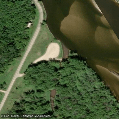
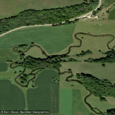
Otter Creek flows through the Driftless Area of southwestern Wisconsin, originating in the Baraboo Hills of Sauk County before meandering southward through Iowa County to join the Wisconsin River near Lone Rock. This small tributary drains approximately 25,474 acres and exhibits the characteristic clear water and rocky substrate typical of coldwater trout streams in the region. The creek's upper reaches begin near Union Valley Road, where it flows through steep, wooded terrain before being impounded by a dam that created Blackhawk Lake, a 212-acre recreational reservoir managed by Sauk County. Below the dam at Plank Road, the creek transitions from its headwater character to a more developed stream corridor, passing through agricultural valleys interspersed with scenic bluffs topped by pine trees and limestone outcrops.
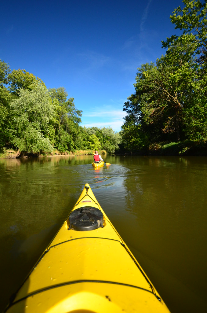
Paddling opportunities exist primarily on two distinct sections. The upper segment from Union Valley Road through Blackhawk Lake to Plank Road offers flatwater paddling but requires portaging a substantial 30-foot dam. The most rewarding paddling stretch runs from Highway Q to Highway II, covering approximately 2.8 miles with a gradient of 11 feet per mile. This section features Class I rapids, small boulder gardens, and a particularly scenic reach where the creek flows beneath a steep wooded bluff with tumbled boulders and a natural spring—reminiscent of nearby Snow Bottom State Natural Area. Water clarity is generally good, with a sandy and rocky bottom supporting populations of brown and brook trout. Downstream from Highway II, the creek continues through Spring Valley Road and beyond, though logjams and tall mud banks become increasingly problematic in the lower reaches approaching the Wisconsin River confluence. The final miles before the mouth exhibit the bank erosion common to many agricultural streams in the region.
Access points include bridge crossings at Union Valley Road (multiple), Cave Hollow Road, Plank Road, Highway Q, Highway II, Spring Valley Road, Highway I, Highway 130, and Highway C, though not all offer developed landings. The Otter Creek Landing at Highway 130 provides a developed boat ramp primarily serving Wisconsin River paddlers.
Optimal paddling conditions occur during spring runoff or following substantial rainfall, as the creek's small size and rocky character require adequate water levels. Using Black Earth Creek at Black Earth as a proxy gauge, flows above 66 CFS are recommended, with 80-100 CFS providing good paddling depths while maintaining clarity.
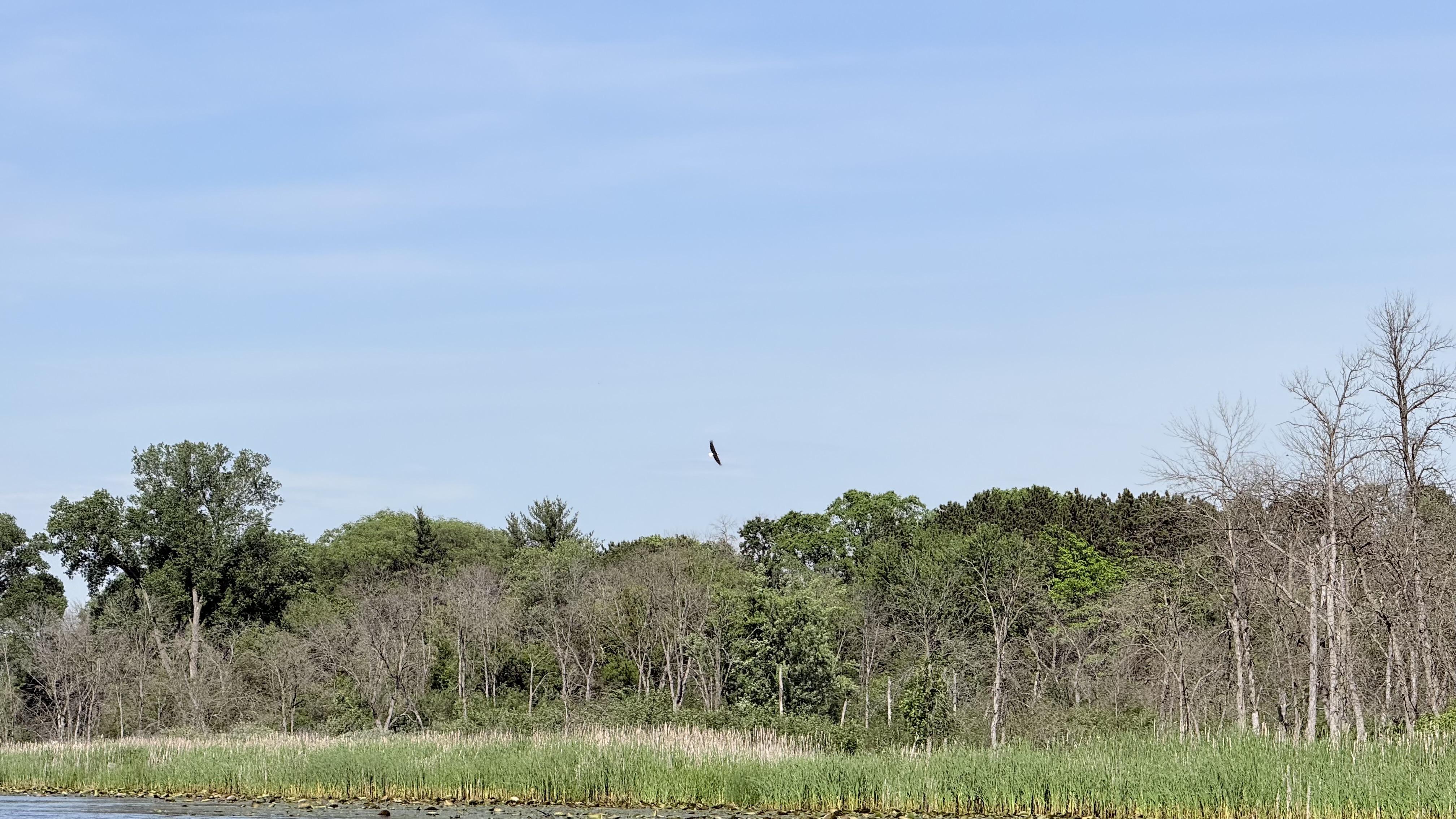
The creek flows through a landscape rich in Driftless Area geology, with occasional sandstone outcrops and the notable Pompey's Pillar formation visible from nearby roads. Wildlife includes bald eagles, herons, muskrats, and various trout species. The Blackhawk Lake Recreation Area offers camping, hiking trails, and beach access, requiring a county day pass for entry.
Curated routes
Hand-picked by the PaddleWays team, with put-ins, take-outs, paddle times and the hazards along the way.
RouteClass I–II
RouteFlatwater
RouteClass I–II
RouteClass I–II
RouteClass I–II
Hazards
No hazards are marked on Otter Creek yet. That is not the same as none being there: if you find one, report it for the next paddler.
From the community
Real trips from PaddleWays paddlers: which route they ran, how the flows were, and what to watch for.
Loading trip reports
Brooke C.
Otter creek short route
See exactly where the public can get on and off the river. Launch points and boat ramps are paired with PaddleWays' public land data so you know where you can legally land.
Public shoreline
14%of the river's shoreline is public
Most of the riverbank is private. Launch, land and camp only at public access points.
Flows, weather and a route-by-route verdict, so you know which stretch of the Otter Creek is worth paddling today.
No forecast data available.
Live flows, marked hazards and fresh trip reports from paddlers who were just on the water, all in one place.





Every user gets free access to launch points, boat ramps, and public property parcels.
Loading popular cities...
PaddleWays gives you everything you need to plan smarter, paddle better, and own every trip from first launch to takeout.