Curated by PaddleWays
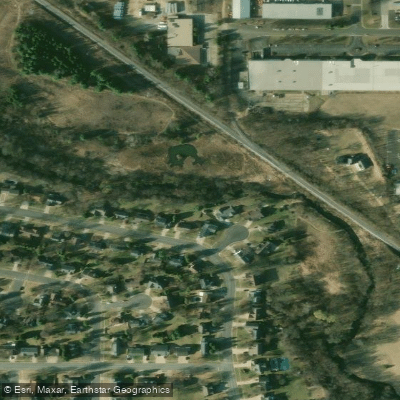
Sixmile Creek
- River
Sixmile Creek
- River
- River length
- 12.6 mi
- Curated route
- 1
- Public shoreline
- 50%
Curated routes
Popular routes to paddle
Hand-picked by the PaddleWays team, with put-ins, take-outs, paddle times and the hazards along the way.
Hazards
Hazards on Sixmile Creek
No hazards are marked on Sixmile Creek yet. That is not the same as none being there: if you find one, report it for the next paddler.
From the community
Sixmile Creek trip reports
Nobody has shared a trip on Sixmile Creek yet. Paddle it, then tell the next paddler how it went.
Water access & public shoreline
See exactly where the public can get on and off the river. Launch points and boat ramps are paired with PaddleWays' public land data so you know where you can legally land.
Public shoreline
50%of the river's shoreline is public
- Public
- 50%
- Private
- 50%
Largest public stretches
- North Mendota - Saddlebrook
- Statewide Habitat Areas - Sd
- Castle Creek Conservancy
Flows & paddling conditions (10 day forecast)
Flows, weather and a route-by-route verdict, so you know which stretch of the Sixmile Creek is worth paddling today.
SIXMILE CREEK AT STATE HIGHWAY 19 NEAR WAUNAKEE,WI
Loading flow chart…
Latest
10 yr average
All Flow Stations
Paddle smarter with real-time insights
Live flows, marked hazards and fresh trip reports from paddlers who were just on the water, all in one place.







Find Places to Paddle

Over 400,000 Places to Paddle
Every user gets free access to launch points, boat ramps, and public property parcels.



Paddling near Sixmile Creek
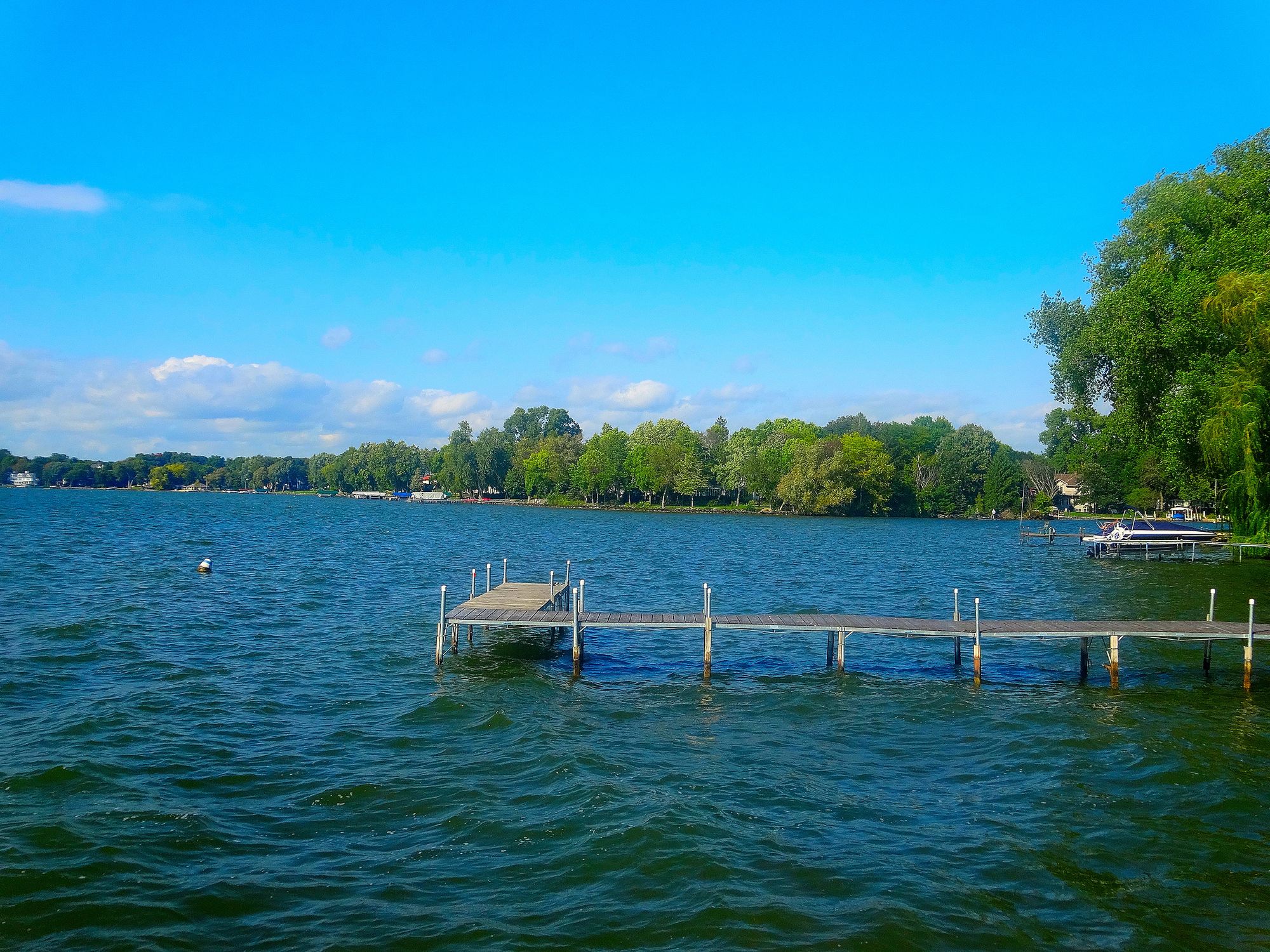
Lake Mendota
Wisconsin
5.2 miles away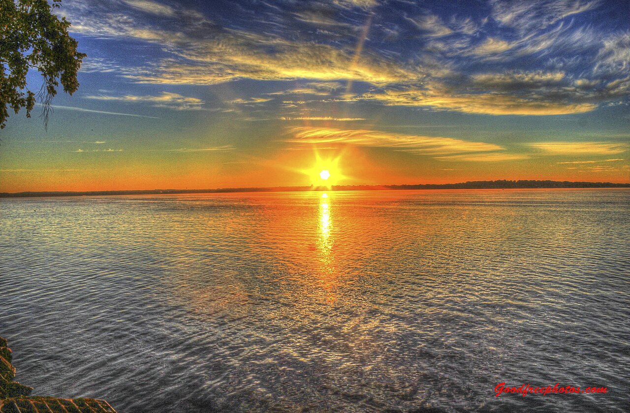
Lake Monona
Wisconsin
8.9 miles away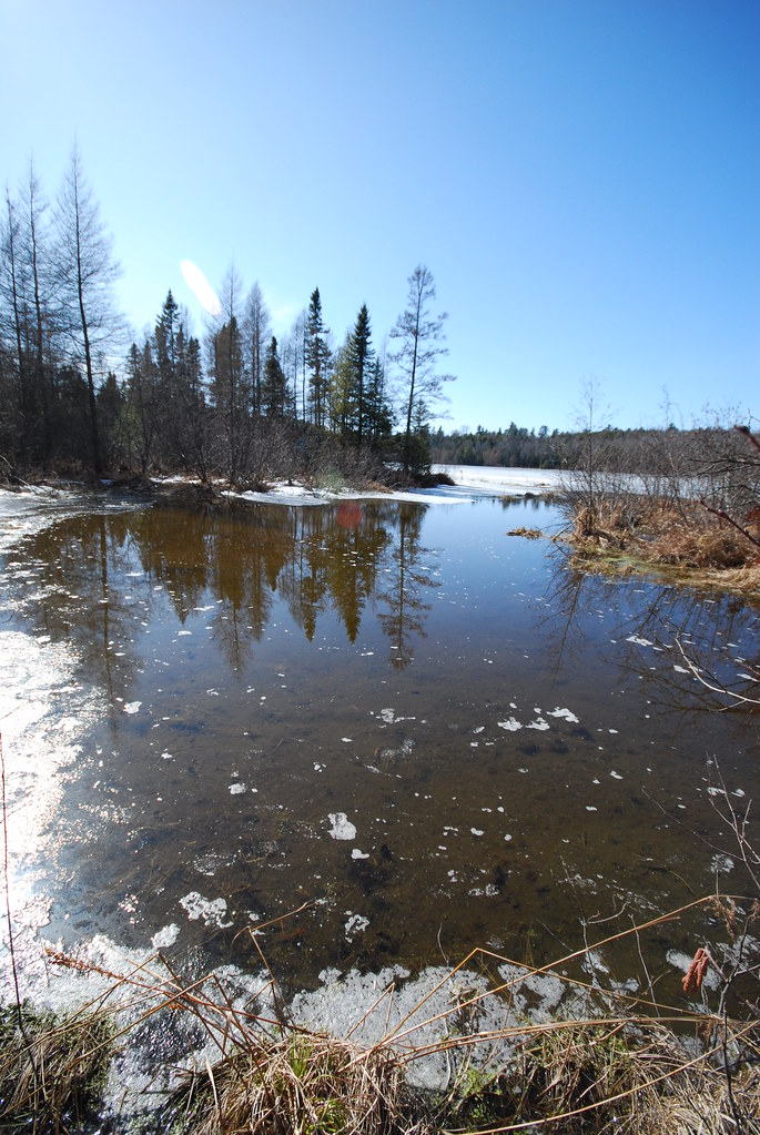
Lake Wisconsin
Wisconsin
15.5 miles away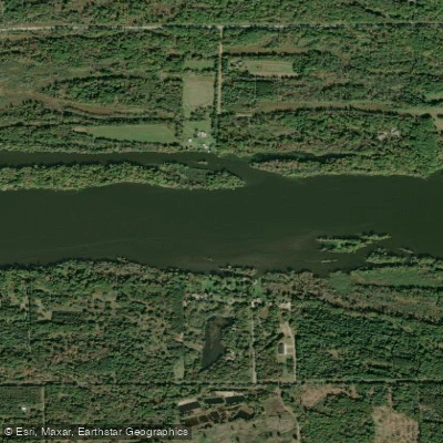
Wisconsin River
Iowa, Michigan, Wisconsin
88.2 miles away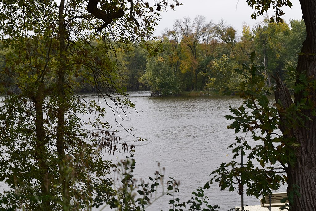
Yahara River
Wisconsin
11.8 miles away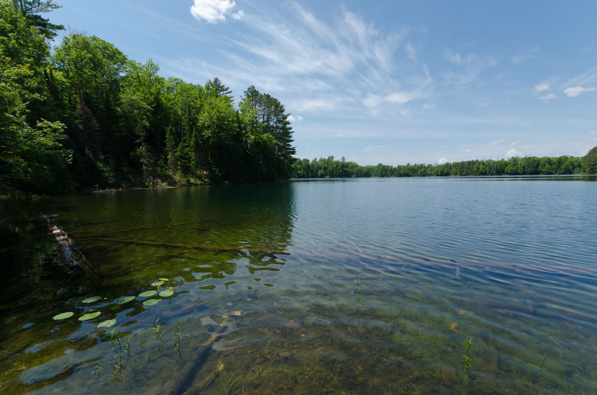
Rock Lake
Wisconsin
26.9 miles away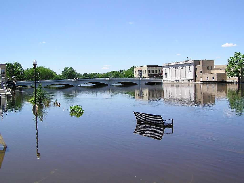
Rock River
Illinois, Wisconsin
53.3 miles away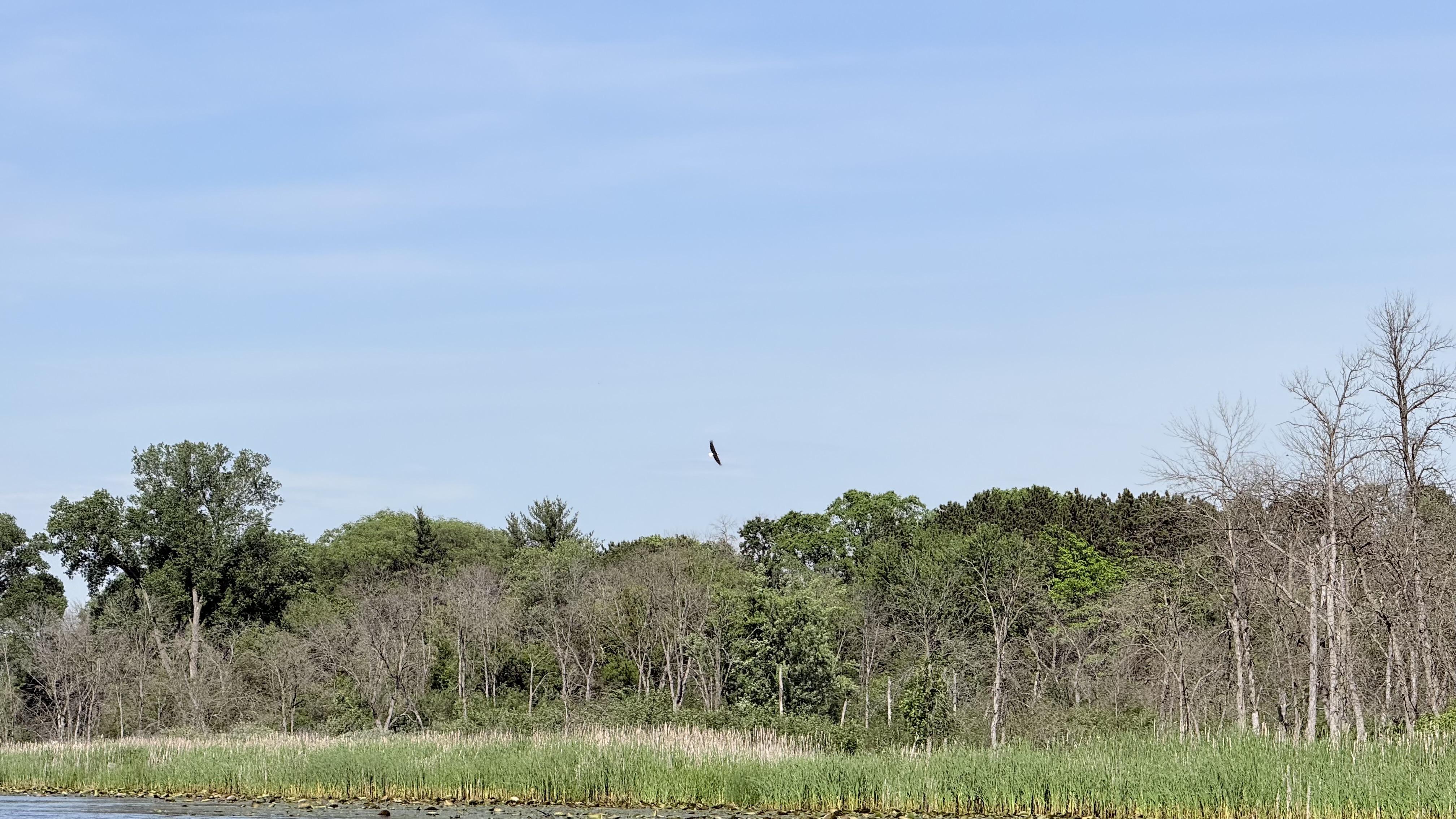
Fox River
Wisconsin
59.4 miles away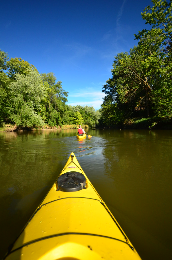
Baraboo River
Wisconsin
37.6 miles away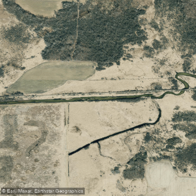
Bark River
Wisconsin
48.2 miles awayExplore Wisconsin waters
Top paddling waters
Popular Cities
Loading popular cities...
Explore near Sixmile Creek

Smarter Paddling Starts in the App.
PaddleWays gives you everything you need to plan smarter, paddle better, and own every trip from first launch to takeout.