Curated by PaddleWays
RouteClass I–II
- Distance
- 1.3 mi
- Paddle time
- ~0.5 hrs
- Best for
- Beginners
- Put-in → take-out
- Highway K → N. Military Road
Four downed trees to navigate
The South Branch Little Wolf River is a scenic waterway in central Wisconsin, originating in Portage County and flowing northeast through Waupaca County before joining the main stem of the Little Wolf River. This tributary is approximately 40 miles long and is part of the larger Wolf River watershed, which ultimately drains into Lake Michigan. The river offers diverse paddling opportunities, ranging from exciting whitewater sections to calm flatwater stretches.
The upper reaches near Wolf River Road feature Class II rapids and a gradient of about 10 feet per mile, making it popular among intermediate paddlers. Notable rapids include a 2-mile continuous stretch downstream of Wolf River Road and another section near McNinch Road featuring a boulder garden and the exhilarating Dells - a narrow granite canyon producing rollicking waves. As the river progresses downstream, it transitions to a more relaxed paddling experience with Class I-II rapids interspersed with quiet flatwater sections.
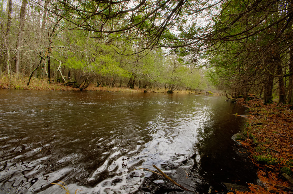
The middle and lower portions wind through a mix of woodland, farmland, and marsh areas, providing a quintessential Wisconsin landscape. The difficulty ranges from Class II in the upper sections to mostly Class I in the lower reaches, making it suitable for paddlers with some experience. However, beginners should exercise caution and potentially start with calmer downstream segments.
Spring and early summer typically offer the best water levels for paddling, especially for the whitewater sections. Late summer and fall can provide pleasant trips on the lower sections, but paddlers should be prepared for possible low water conditions.
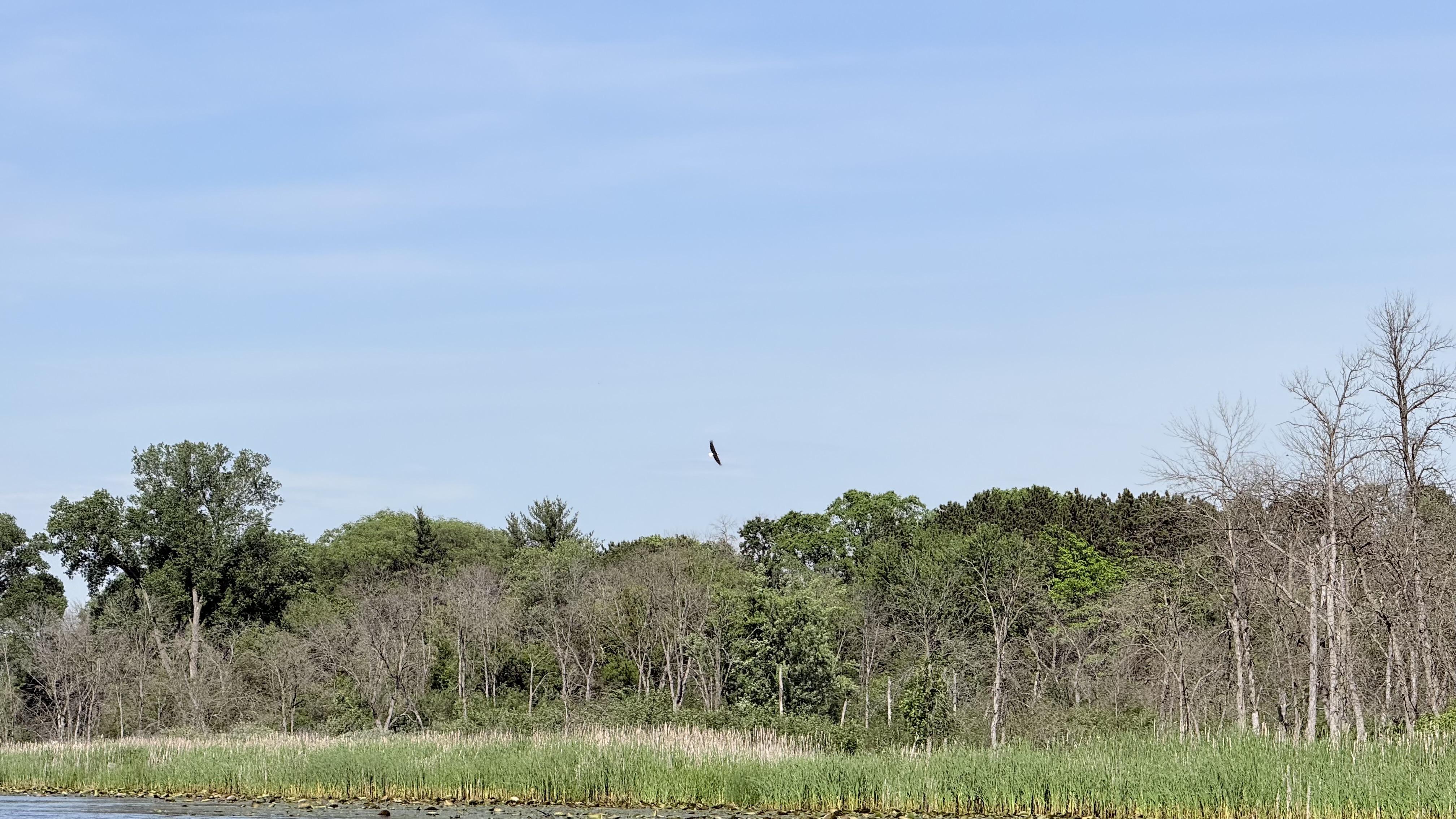
The river corridor supports a diverse ecosystem, with white pines dominating the upper reaches and a mix of hardwoods and wetland vegetation in the lower sections. Wildlife sightings may include bald eagles, deer, and various fish species.
Key access points include Wolf River Road, Big Falls, Highway K, and Iola, with several bridge crossings providing additional put-in or take-out options. The town of Iola offers amenities and serves as a central hub for river trips.
Historically, the river played a role in the logging industry and early settlement of the region. Today, it's valued for its recreational opportunities and natural beauty. Paddlers should be aware of potential logjams, especially in the middle and lower sections, and always wear appropriate safety gear. Some sections may require portaging around obstacles.
Multi-day trips are possible by combining various sections, with camping available at designated sites along the river. The South Branch Little Wolf River offers a rewarding paddling experience that showcases the natural beauty of central Wisconsin.
Curated routes
Hand-picked by the PaddleWays team, with put-ins, take-outs, paddle times and the hazards along the way.
RouteClass I–II
RouteFlatwater
RouteClass I–II
RouteClass I–II
Hazards
No paddler has reported a hazard here yet, so these are the dams, falls and big rapids on our map. Hazards change with flows and storms, so check them before you launch.
From the community
Nobody has shared a trip on South Branch Little Wolf River yet. Paddle it, then tell the next paddler how it went.
See exactly where the public can get on and off the river. Launch points and boat ramps are paired with PaddleWays' public land data so you know where you can legally land.
Public shoreline
0%of the river's shoreline is public
Most of the riverbank is private. Launch, land and camp only at public access points.
Flows, weather and a route-by-route verdict, so you know which stretch of the South Branch Little Wolf River is worth paddling today.
Live flows, marked hazards and fresh trip reports from paddlers who were just on the water, all in one place.





Every user gets free access to launch points, boat ramps, and public property parcels.
Loading popular cities...
PaddleWays gives you everything you need to plan smarter, paddle better, and own every trip from first launch to takeout.