Curated by PaddleWays
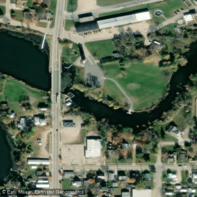
RouteClass II–III
- Distance
- 5 mi
- Paddle time
- ~1.5 hrs
- Best for
- Intermediate paddlers
- Put-in → take-out
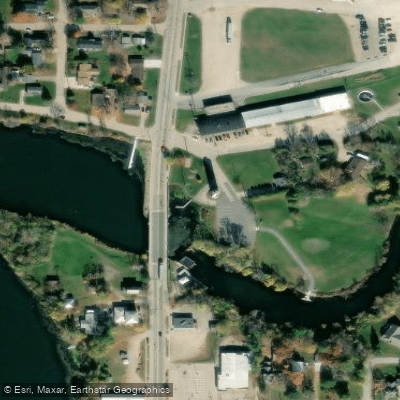
- Mill Street in Amherst → Otto Road
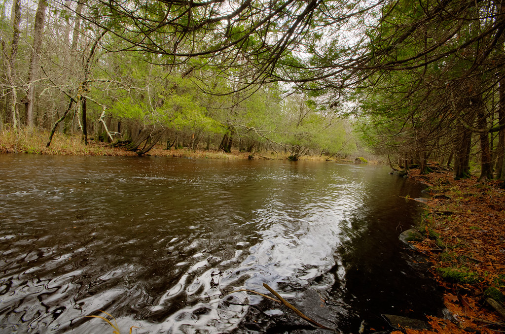
The Waupaca River is a scenic waterway in central Wisconsin, originating near Amherst and flowing generally east before joining the Wolf River near Weyauwega. This 79-mile river is a major tributary of the Wolf River and part of the larger Fox-Wolf watershed that drains into Lake Michigan. The Waupaca offers excellent paddling opportunities for canoeists and kayakers of various skill levels. Popular sections include the 7-mile stretch from Amherst to Otto Road (Class II-III), the 6.5-mile run from County Highway Q to Brainards Bridge Park in Waupaca (Class II), and the final 6.2-mile segment from Weyauwega Dam to the Wolf River confluence (Class I-II). Overall, the river ranges from easy flatwater to moderate whitewater, with most sections suitable for intermediate paddlers.
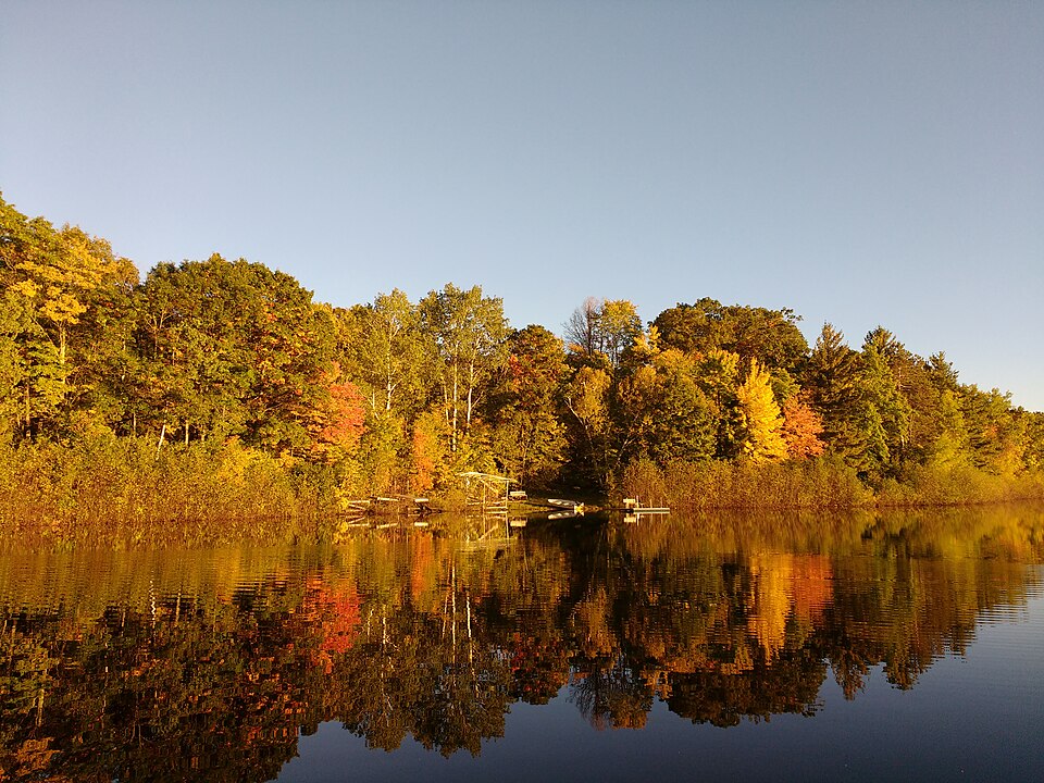
Spring and early summer typically provide the best water levels, though the river remains navigable year-round in most sections. Late summer and fall offer beautiful scenery as trees along the banks change color. The clear waters of the Waupaca support diverse aquatic life and provide excellent fishing opportunities for species like smallmouth bass and trout. Notable features include striking boulder gardens, light rapids, and scenic forested banks. Brainards Bridge Park in Waupaca is a key landmark, featuring unique arched bridges connecting river islands.
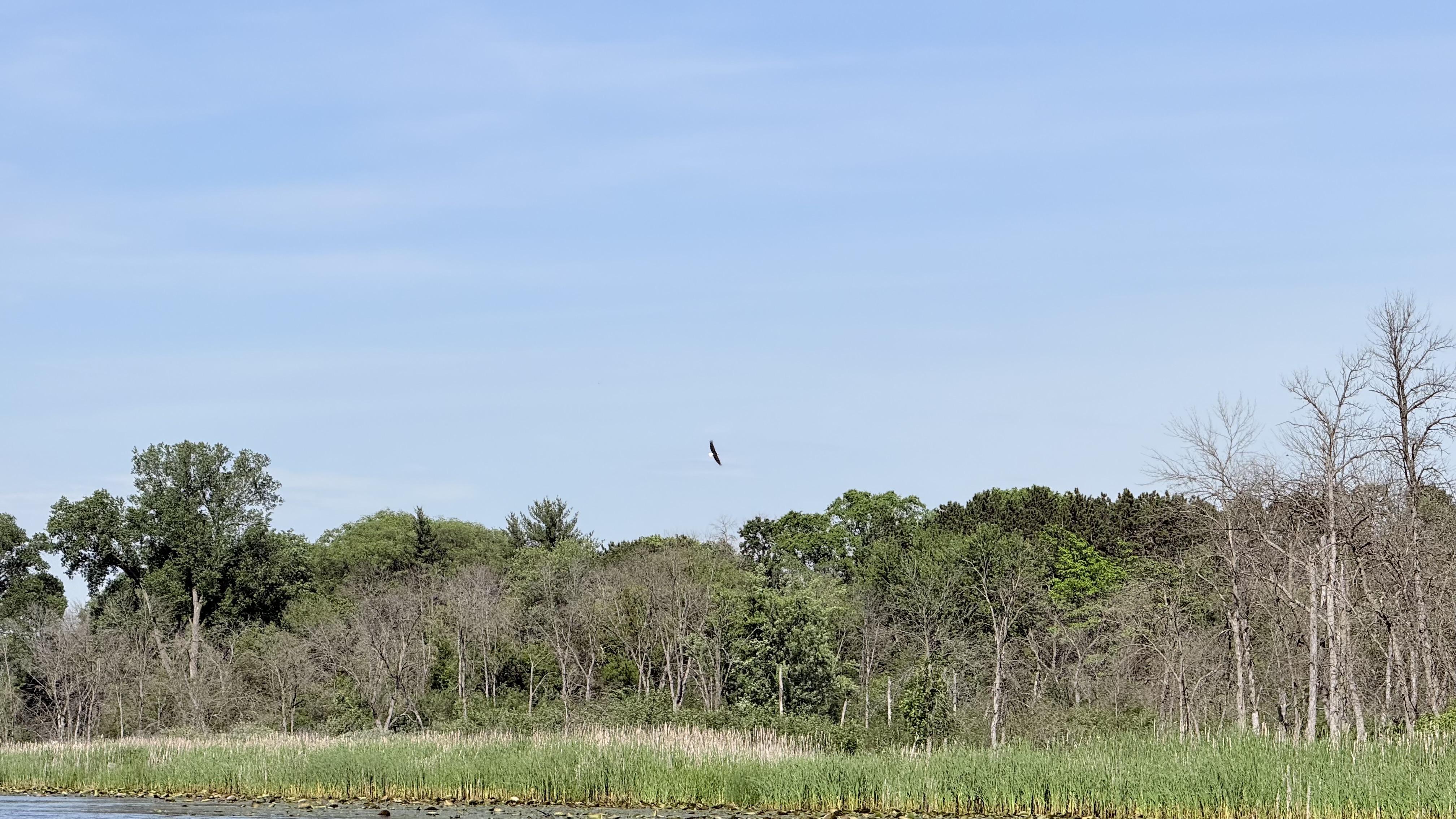
Wildlife sightings may include ducks, geese, sandhill cranes, and various songbirds. Primary access points are found in Amherst, Waupaca, and Weyauwega. The river passes through or near several small towns, offering convenient put-in and take-out locations. Waupaca, the largest city along the river, serves as a central hub for paddlers.
Historically, the river powered mills and supported logging operations. Today, it's valued for its recreational opportunities and natural beauty. The Waupaca River is part of the state's water trail system, with efforts ongoing to improve access and promote responsible use.
Paddlers should be aware of occasional deadfall obstacles, especially after storms. Life jackets are required, and checking water levels before trips is advisable. While most sections can be paddled in a day, the river's length allows for multi-day adventures for those seeking a more immersive experience in the Wisconsin wilderness.
Curated routes
Hand-picked by the PaddleWays team, with put-ins, take-outs, paddle times and the hazards along the way.
RouteClass II–III
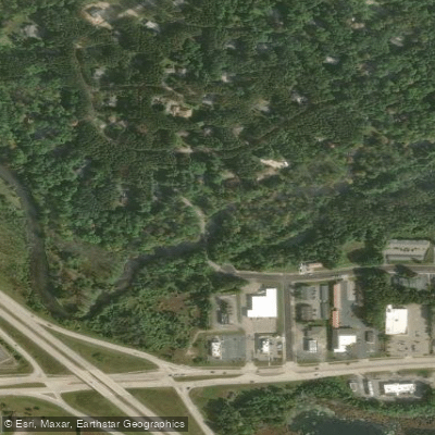
RouteClass I–II
Hazards
No paddler has reported a hazard here yet, so these are the dams, falls and big rapids on our map. Hazards change with flows and storms, so check them before you launch.
From the community
Nobody has shared a trip on Waupaca River yet. Paddle it, then tell the next paddler how it went.
See exactly where the public can get on and off the river. Launch points and boat ramps are paired with PaddleWays' public land data so you know where you can legally land.
Public shoreline
5%of the river's shoreline is public
Most of the riverbank is private. Launch, land and camp only at public access points.
Flows, weather and a route-by-route verdict, so you know which stretch of the Waupaca River is worth paddling today.
Live flows, marked hazards and fresh trip reports from paddlers who were just on the water, all in one place.





Every user gets free access to launch points, boat ramps, and public property parcels.
Loading popular cities...
PaddleWays gives you everything you need to plan smarter, paddle better, and own every trip from first launch to takeout.