Curated by PaddleWays
RouteFlatwater
- Distance
- 2.3 mi
- Paddle time
- ~1 hr
- Put-in → take-out
- Highway 92 → Fritz Road
Logjams and fence crossings to navigate
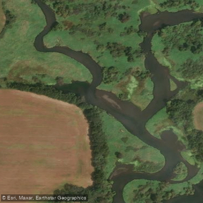
The West Branch Sugar River flows through the gently rolling countryside of south-central Wisconsin, northwest of Belleville in Dane County. This lesser-known tributary of the Sugar River originates from the junction of Deer Creek and Fryes Feeder near Springdale in the town of Mount Vernon. The stream flows generally southeastward through agricultural lands and wooded corridors before joining the main Sugar River approximately 0.7 miles upstream from Belleville.
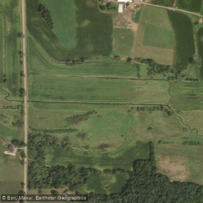
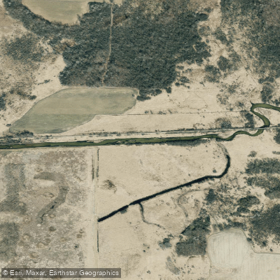
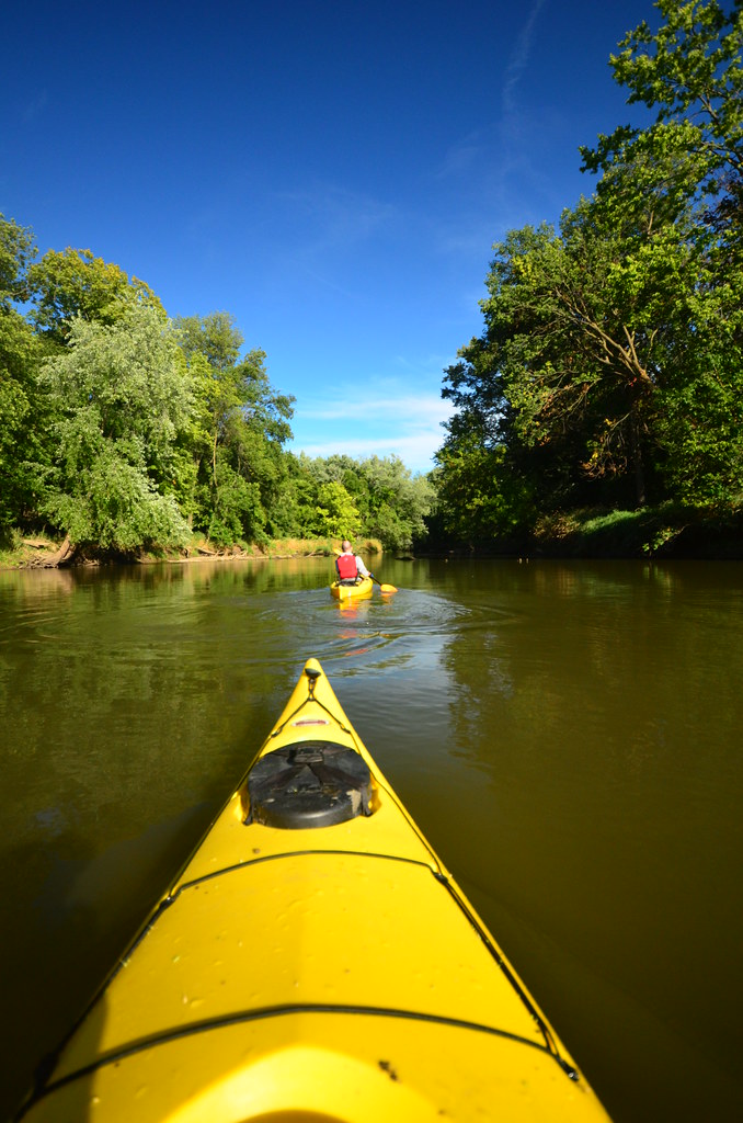
Paddlers seeking solitude will find approximately 12 miles of navigable water across several distinct sections. The uppermost reach begins at Highway 92, though this 2.5-mile segment to Fritz Road features an artificially straightened first half before transitioning to natural meanders. Fritz Road marks the start of the river's premier paddling stretch—a 5.2-mile run to County Road PB that consistently earns praise as the best leg on the West Branch. This section winds through attractive countryside with grassy banks offering expansive views of the river valley, particularly striking when spring vegetation remains low. The river maintains a width of roughly 20 feet with decent current, though paddlers should expect to navigate around downed trees and occasional beaver activity.
Downstream from County Road PB, the river continues another 4.25 miles to County Road A, followed by 6 miles to Belleville Community Park. These lower sections flow through tree-lined banks with numerous twists and turns, though the final approach to Belleville loses character as impounded water from the town's dam slows the current considerably.
The West Branch demands intermediate paddling skills despite its flatwater classification. Tight blind corners combined with pushy current can create challenging situations when encountering deadfall immediately after turns. Kayaks prove more maneuverable than canoes on this intimate stream. Due to the river's modest size and relative obscurity, paddlers often enjoy complete solitude but should carry a saw for clearing minor obstructions.
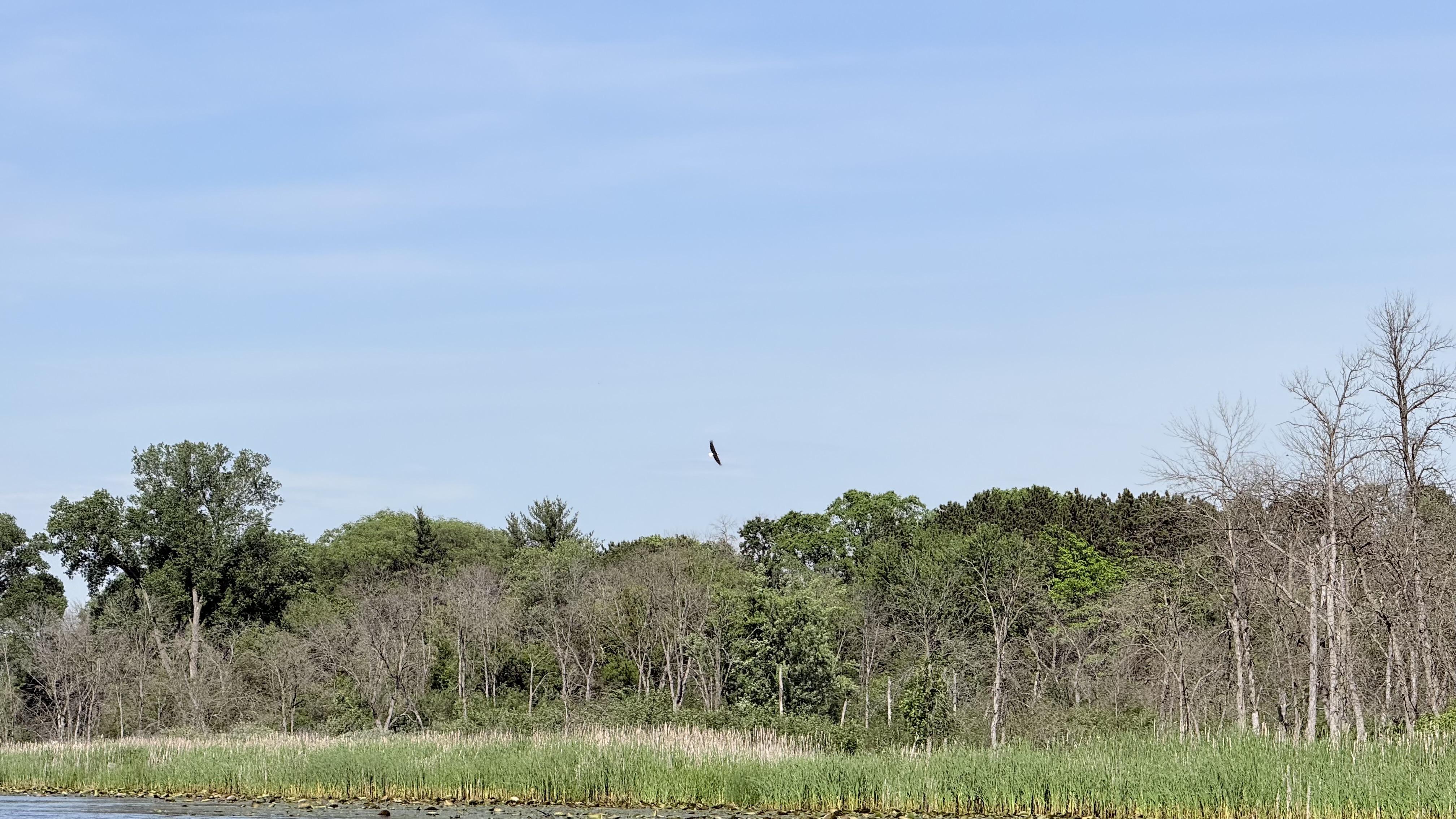
Wildlife encounters frequently include sandhill cranes, bald eagles, great blue herons, and wood ducks. The river also supports trout populations in its upper reaches, with the Wisconsin DNR monitoring several stations between Highway 92 and Fritz Road.
Water levels correlate with readings from the Sugar River gauge at Verona—61 CFS or 3.3 feet provides adequate flow. Spring and early summer offer the most reliable conditions, though the narrow channel remains susceptible to new logjams following storms.
Access points include bridge crossings at Highway 92, Fritz Road, County Road PB, and County Road A, with Belleville Community Park providing the most developed takeout facility complete with parking and restrooms. The 3.6-mile bike shuttle between Fritz Road and County Road PB presents a manageable option for solo paddlers, though the route includes notable hills.
Curated routes
Hand-picked by the PaddleWays team, with put-ins, take-outs, paddle times and the hazards along the way.
RouteFlatwater
RouteFlatwater
Hazards
No hazards are marked on West Branch Sugar River yet. That is not the same as none being there: if you find one, report it for the next paddler.
From the community
Nobody has shared a trip on West Branch Sugar River yet. Paddle it, then tell the next paddler how it went.
See exactly where the public can get on and off the river. Launch points and boat ramps are paired with PaddleWays' public land data so you know where you can legally land.
Public shoreline
3%of the river's shoreline is public
Most of the riverbank is private. Launch, land and camp only at public access points.
Flows, weather and a route-by-route verdict, so you know which stretch of the West Branch Sugar River is worth paddling today.
No forecast data available.
Live flows, marked hazards and fresh trip reports from paddlers who were just on the water, all in one place.





Every user gets free access to launch points, boat ramps, and public property parcels.

Loading popular cities...
PaddleWays gives you everything you need to plan smarter, paddle better, and own every trip from first launch to takeout.