Granite Creek
Granite Creek
- Boat Ramps
- 1
- Access Points
- 1
- Campsites
- 5
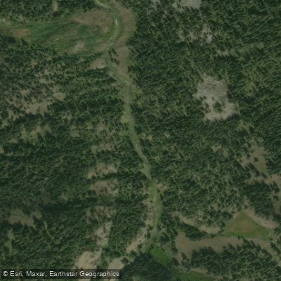
Granite Creek flows through the Gros Ventre Range in northwestern Wyoming, with its drainage spanning portions of Teton and Sublette counties before joining the Hoback River. Despite one source's reference to the Wind River Range, the creek actually originates in the Gros Ventre Range, as correctly noted by local paddling resources. The creek descends through a forested canyon, passing the popular Granite Hot Springs before reaching its confluence with the Hoback River near Bondurant.
The primary paddling section runs from Wooden Bridge to the mouth at the Hoback River confluence, offering approximately 3 miles of Class III whitewater. Local knowledge suggests the actual boatable distance extends closer to 8 miles for kayakers and rafts during higher spring flows, with the best section located below the confluence with Little Granite Creek. This relatively short run provides intermediate whitewater in a scenic mountain setting, though paddlers should not expect an extended river journey in a single stretch.
The creek flows within reasonable driving distance from Jackson, making it accessible as a day trip destination. The area near Bondurant serves as the primary access point, with the creek located in Teton County near its mouth. Fremont Lake Road provides access to the upper drainage areas. Paddling season typically aligns with spring runoff, when flows are sufficient for rafts and kayakers. The creek's character changes significantly with water levels, and the short mileage means trips are measured in hours rather than days.
The Granite Creek drainage hosts several recreational amenities beyond paddling. Granite Hot Springs swimming pool sits upstream, and the area features the Granite Highline Trail for hikers. Granite Creek Campground in Teton County and Kozy Campground in Sublette County provide overnight options for visitors. The drainage remains undeveloped along much of its length, preserving the natural character of the Gros Ventre landscape.
Wildlife common to the region includes moose, deer, and various bird species typical of mountain stream corridors. The surrounding forest consists of mixed conifer stands with aspen groves.
A significant portion of Granite Creek's drainage, from the hot springs swimming pool downstream to the Hoback River confluence, remains closed to beaver trapping under Wyoming Game and Fish regulations, indicating management priorities for the watershed. Paddlers should verify current flow conditions and access regulations before visiting, as the short season and variable water levels require proper timing for successful trips.
Water access, boat ramps & amenities
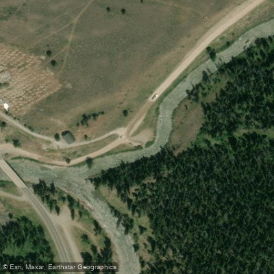
Learn how to get on Granite Creek. Uncover great paddling access points, boat ramps, and all the facilities you need for an unforgettable day on the water. Some locations shown may border or include private property. Always check property boundaries and applicable regulations before visiting. PaddleWays's Public & Private Land layer can help you plan your access with confidence.
Paddle smarter with real-time insights
Whether you're en route and conditions shift or you're looking for the best spot based on current flows, we enable you to make informed decisions on the fly.








Find Places to Paddle

Over 400,000 Places to Paddle
Every user gets free access to launch points, boat ramps, and public property parcels.


Water and weather conditions (10 day forecast)
See the best times to paddle Granite Creek and check the forecast before you go.
No forecast data available.
Paddling near Granite Creek
Snake River
Hoback River
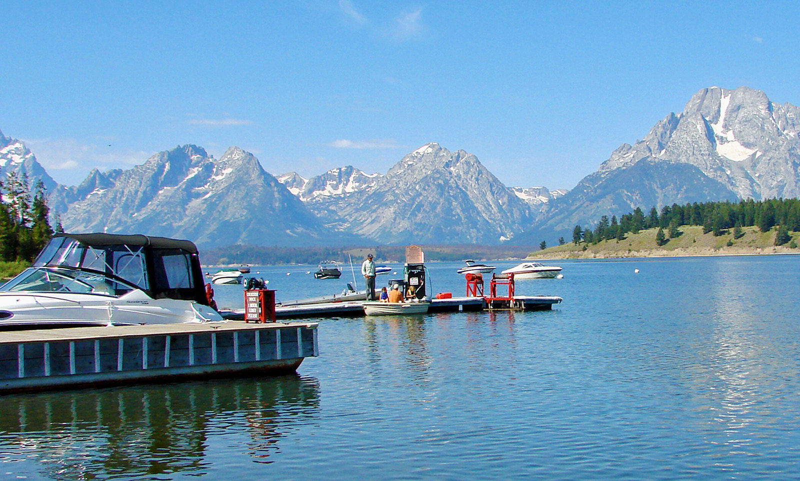
Jackson Lake
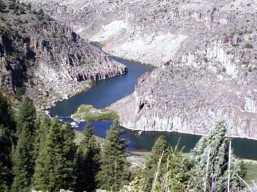
Teton River
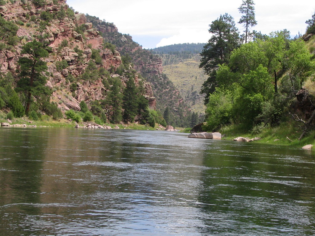
Green River
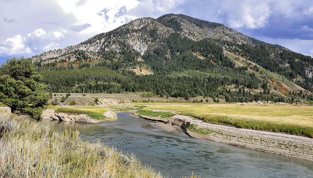
Greys River
Wind River
Gros Ventre River
Flat Creek
Explore Wyoming waters
Top paddling waters
Popular Cities
Loading popular cities...
Explore near Granite Creek
Access points
Nearby waters
More in Wyoming

Smarter Paddling Starts in the App.
Paddleways gives you everything you need to plan smarter, paddle better, and own every trip from first launch to takeout.