Greys River
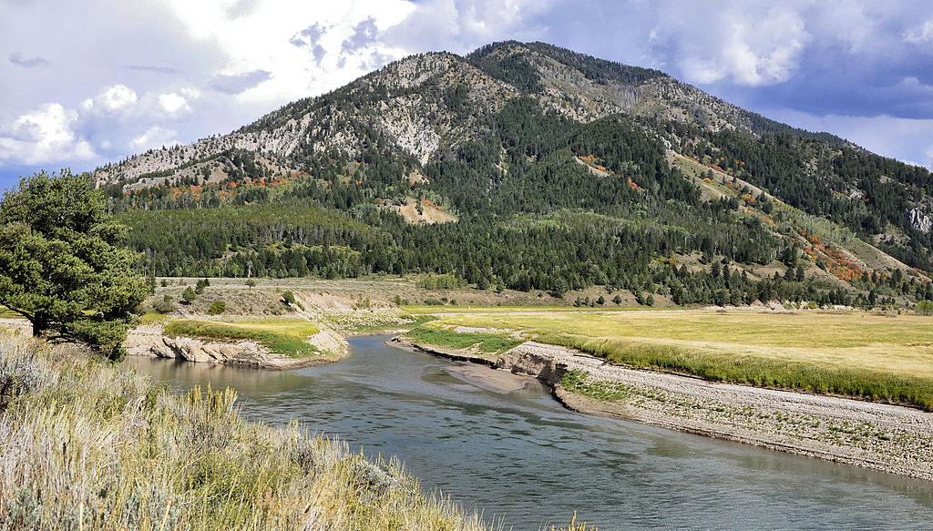
Greys River
- Boat Ramps
- 1
- Access Points
- 35
- Campsites
- 19
The Greys River is a scenic waterway located in western Wyoming, originating in the Wyoming Range and flowing northward for approximately 60 miles before joining the Snake River near Alpine. This tributary of the Snake River drains a significant portion of the Bridger-Teton National Forest, with the Little Greys River serving as its primary tributary. The Greys River offers a range of paddling opportunities, from challenging whitewater to more relaxed scenic floats.
The river is divided into several distinct sections, each with its own character and difficulty level. The upper reaches, including the Little Greys to Highway Bridge section, feature continuous Class III-IV rapids over a 6-mile stretch, providing thrilling experiences for intermediate to advanced paddlers. The infamous Snaggletooth Rapid, a Class IV-V boulder-strewn gauntlet, is a highlight for expert kayakers. Downstream, the Middle Greys section from Little Greys to Squaw Creek offers a more moderate Class II experience over 4.5 miles, suitable for less experienced paddlers. The Lower Greys, running from Squaw Creek to Bridge Campground, presents Class II-III rapids with potential hazards like log jams and sweepers.
The Greys River is typically runnable from April through July, with some sections extending into October. Recommended flows range from 800 to 3500 cfs for most sections, with an average of 2000 cfs. The river's character changes dramatically with water levels, becoming increasingly challenging at higher flows.
The river corridor is known for its beautiful forested terrain and diverse wildlife, including elk, moose, and various fish species. Anglers frequent the river for its excellent trout fishing opportunities, with special regulations above Murphy Creek Bridge to protect the fishery.
Key access points include the Little Greys River confluence, Murphy Creek Bridge, and Bridge Campground near Alpine. The Greys River Road parallels much of the river, providing good scouting opportunities and multiple access points.
Safety considerations include the potential for rapid difficulty to increase significantly with water levels and the presence of natural hazards like log jams. Scouting is highly recommended, especially for the more challenging rapids like Snaggletooth.
For those seeking multi-day adventures, camping is available at various points along the river, including near Snaggletooth Rapid and at Bridge Campground. This allows paddlers to experience different sections of the river over consecutive days, combining challenging whitewater with more relaxed scenic floats through the beautiful Wyoming backcountry.
Water access, boat ramps & amenities
Learn how to get on Greys River. Uncover great paddling access points, boat ramps, and all the facilities you need for an unforgettable day on the water. Some locations shown may border or include private property. Always check property boundaries and applicable regulations before visiting. PaddleWays's Public & Private Land layer can help you plan your access with confidence.
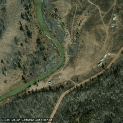
Grey's River access
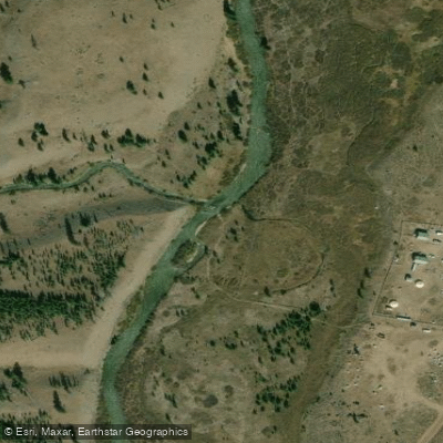
Corral Creek access area
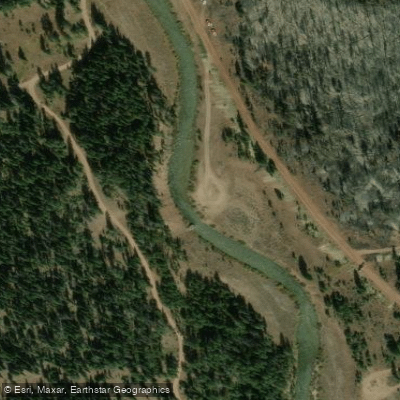
Grey's River access
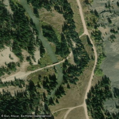
North Three Forks Access
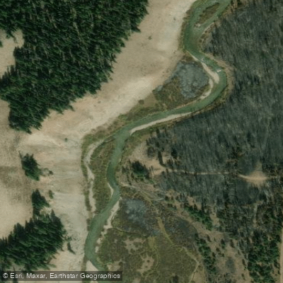
Grey's River access
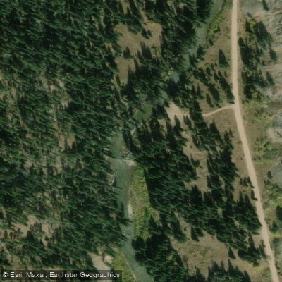
Grey's River Access
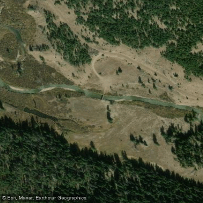
Bridge access area
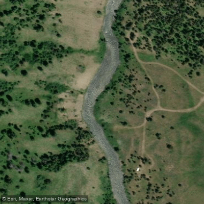
Grey's River Access
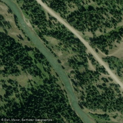
Lake Creek Access
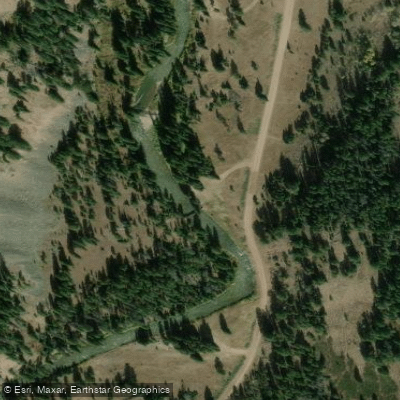
Grey's River access
Paddle smarter with real-time insights
Whether you're en route and conditions shift or you're looking for the best spot based on current flows, we enable you to make informed decisions on the fly.








Find Places to Paddle

Over 400,000 Places to Paddle
Every user gets free access to launch points, boat ramps, and public property parcels.


Water and weather conditions (10 day forecast)
See the best times to paddle Greys River and check the forecast before you go.
GREYS RIVER ABOVE RESERVOIR, NEAR ALPINE, WY
Paddling near Greys River
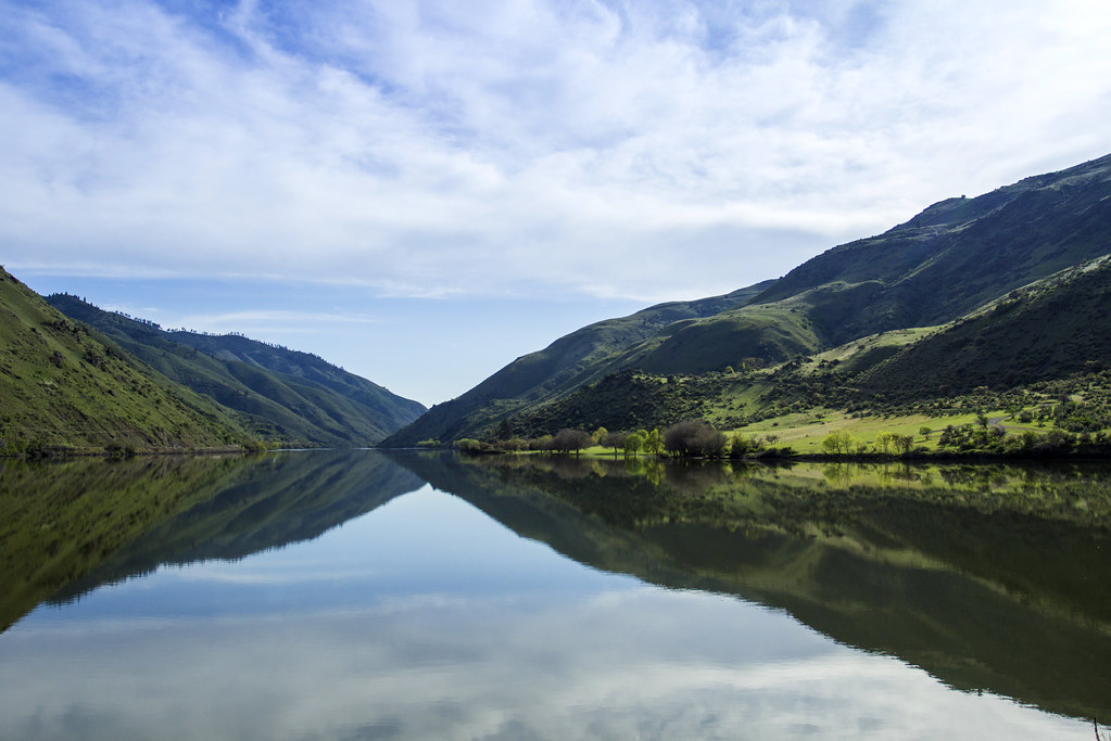
Snake River
Hoback River
Jackson Lake
Teton River
Green River
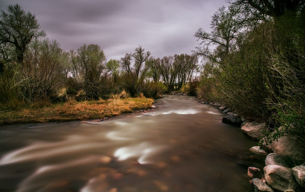
Wind River
Gros Ventre River
Flat Creek
Granite Creek
Explore Wyoming waters
Top paddling waters
Popular Cities
Loading popular cities...
Explore near Greys River
Access points
Nearby waters
More in Wyoming

Smarter Paddling Starts in the App.
Paddleways gives you everything you need to plan smarter, paddle better, and own every trip from first launch to takeout.