Bellacragher Bay
- Saltwater
- Bay
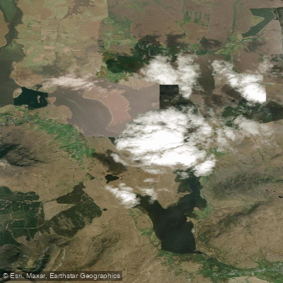
Bellacragher Bay
- Saltwater
- Bay
- Sq. miles
- 2.9
- Boat Ramps
- 0
- Access Points
- 0
- Campsites
- 0
Bellacragher Bay is a coastal inlet situated on the west coast of County Mayo, Ireland, linking the areas of Achill, Mulranny, and Ballycroy. The bay is a narrow, twisting inlet that penetrates inland between the Corraun Peninsula and the mainland, offering a sheltered environment. The primary access point for paddlers is the Bellacragher Bay Boat Club, located in Ballycroy with GPS coordinates 53.96747, -9.828453. This club is a hub for watersports and welcomes visitors, providing a clear launch point for kayaks and other small craft. The bay's sheltered nature suggests protection from open ocean swells, but paddlers must be mindful of scheduled sailing sessions and powerboating activities from the club, which indicate the presence of other boat traffic. The club schedules its activities to suit tides, confirming that tidal currents are a significant factor for navigation; paddlers should plan their trips around local tide tables, aiming to paddle with favorable currents. The surrounding landscape offers panoramic views of Clew Bay's archipelago, the Nephin mountain range, and the local coastline. Wildlife sightings can include seals and various seabirds. The area is connected to the Great Western Greenway, a 42km traffic-free cycling and walking route that passes through Mulranny, offering potential for combined multi-activity trips. The best season for paddling aligns with the club's active season, which typically runs from April through October. Water temperatures in this region follow typical North Atlantic coastal patterns, being coldest in winter and warming through late spring and summer.
Water access, boat ramps & amenities
Learn how to get on Bellacragher Bay. Uncover great paddling access points, boat ramps, and all the facilities you need for an unforgettable day on the water. Some locations shown may border or include private property. Always check property boundaries and applicable regulations before visiting. PaddleWays's Public & Private Land layer can help you plan your access with confidence.
Paddle smarter with real-time insights
Whether you're en route and conditions shift or you're looking for the best spot based on current flows, we enable you to make informed decisions on the fly.







Co. Mayo licenses and regulations
No licenses or regulations available for Co. Mayo.
Find Places to Paddle

Over 400,000 Places to Paddle
Every user gets free access to launch points, boat ramps, and public property parcels.


Tides, wind & water conditions (10 day forecast)
On open water, wind and tide matter as much as the weather. See the best times to paddle Bellacragher Bay and check the marine forecast before you launch.
Loading tide predictions…
Paddling near Bellacragher Bay

Lough Corrib
Lough Mask
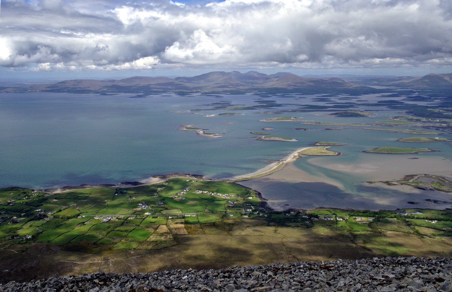
Clew Bay
Deel [Crossmolina]

Suck
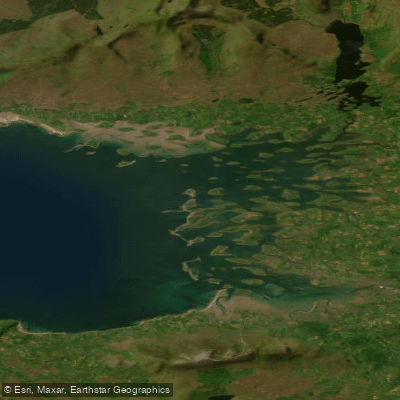
Inner Clew Bay
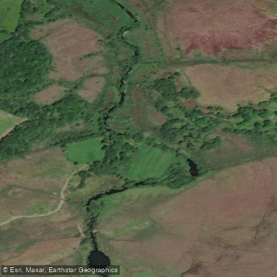
Erriff 32
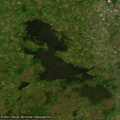
Lough Conn
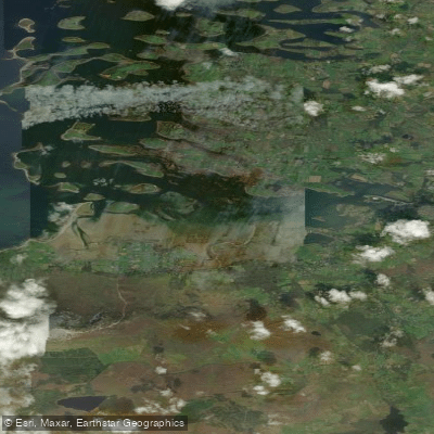
Westport Bay
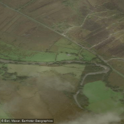
Bunowen [Louisburgh]
Explore Mayo waters
Top paddling waters
No waters available right now.
Popular Cities
Loading popular cities...
Explore near Bellacragher Bay

Smarter Paddling Starts in the App.
Paddleways gives you everything you need to plan smarter, paddle better, and own every trip from first launch to takeout.