Cedar Creek Reservoir
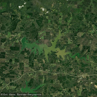
Cedar Creek Reservoir
- Boat Ramps
- 4
- Access Points
- 4
- Campsites
- 0
Cedar Creek Reservoir is a 4,200-acre impoundment located in Franklin County, Alabama, about 10 miles west of Russellville. Created in 1979 primarily for flood control, it is the largest of four reservoirs in the Bear Creek watershed. The lake extends 9 miles upstream from Cedar Creek Dam, which is 96 feet high and 3,160 feet long.
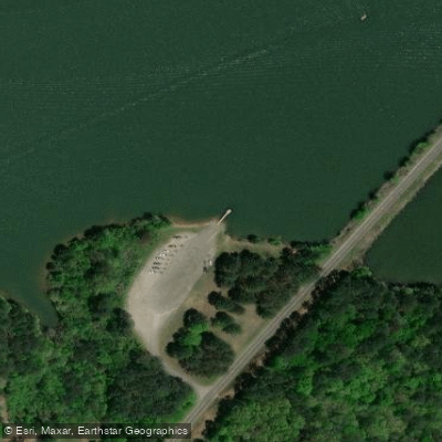
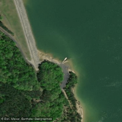
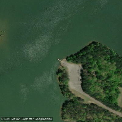
Five public access areas serve the reservoir: Cedar Creek Dam, Hellums Mill, Slickrock, Britton Bridge, and Lost Creek. The Slickrock Campground offers amenities including a boat ramp, bathhouse, water and electrical hookups, picnic tables, and a fishing pier.
The reservoir is known for its exceptionally clean waters and offers diverse fishing opportunities. There are 225 acres of standing timber in the water, providing excellent fish habitat. The lake has a reputation for trophy bass fishing, with largemouth bass over 5 pounds common and 8-pound fish caught annually. Crappie, catfish, and bream are also popular catches.
Water quality varies throughout the reservoir, with moderately fertile water in the upper end and clearer, less fertile water near the dam. During summer, adequate oxygen levels extend to 40 feet deep, allowing fish to seek cooler waters. The lake has an average depth of 15 feet and a maximum depth of 80 feet.
Paddlers will find a relatively uncrowded lake with calm waters suitable for various skill levels. The Bear Creek Development Authority, which manages the reservoir, requires a use permit in addition to an Alabama fishing license. Jet skiing and water skiing are permitted activities.
The surrounding Franklin County offers additional attractions, including an annual watermelon festival in Russellville and the Dismals Canyon National Natural Landmark in nearby Phil Campbell, known for its waterfalls and diverse wildflowers.
Water access, boat ramps & amenities
Learn how to get on Cedar Creek Reservoir. Uncover great paddling access points, boat ramps, and all the facilities you need for an unforgettable day on the water. Some locations shown may border or include private property. Always check property boundaries and applicable regulations before visiting. PaddleWays's Public & Private Land layer can help you plan your access with confidence.
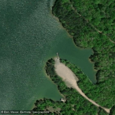
Paddle smarter with real-time insights
Whether you're en route and conditions shift or you're looking for the best spot based on current flows, we enable you to make informed decisions on the fly.








Find Places to Paddle

Over 400,000 Places to Paddle
Every user gets free access to launch points, boat ramps, and public property parcels.


Water and weather conditions (10 day forecast)
See the best times to paddle Cedar Creek Reservoir and check the forecast before you go.
No forecast data available.
Paddling near Cedar Creek Reservoir

Tennessee River
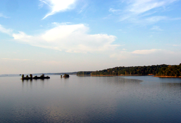
Kentucky Lake
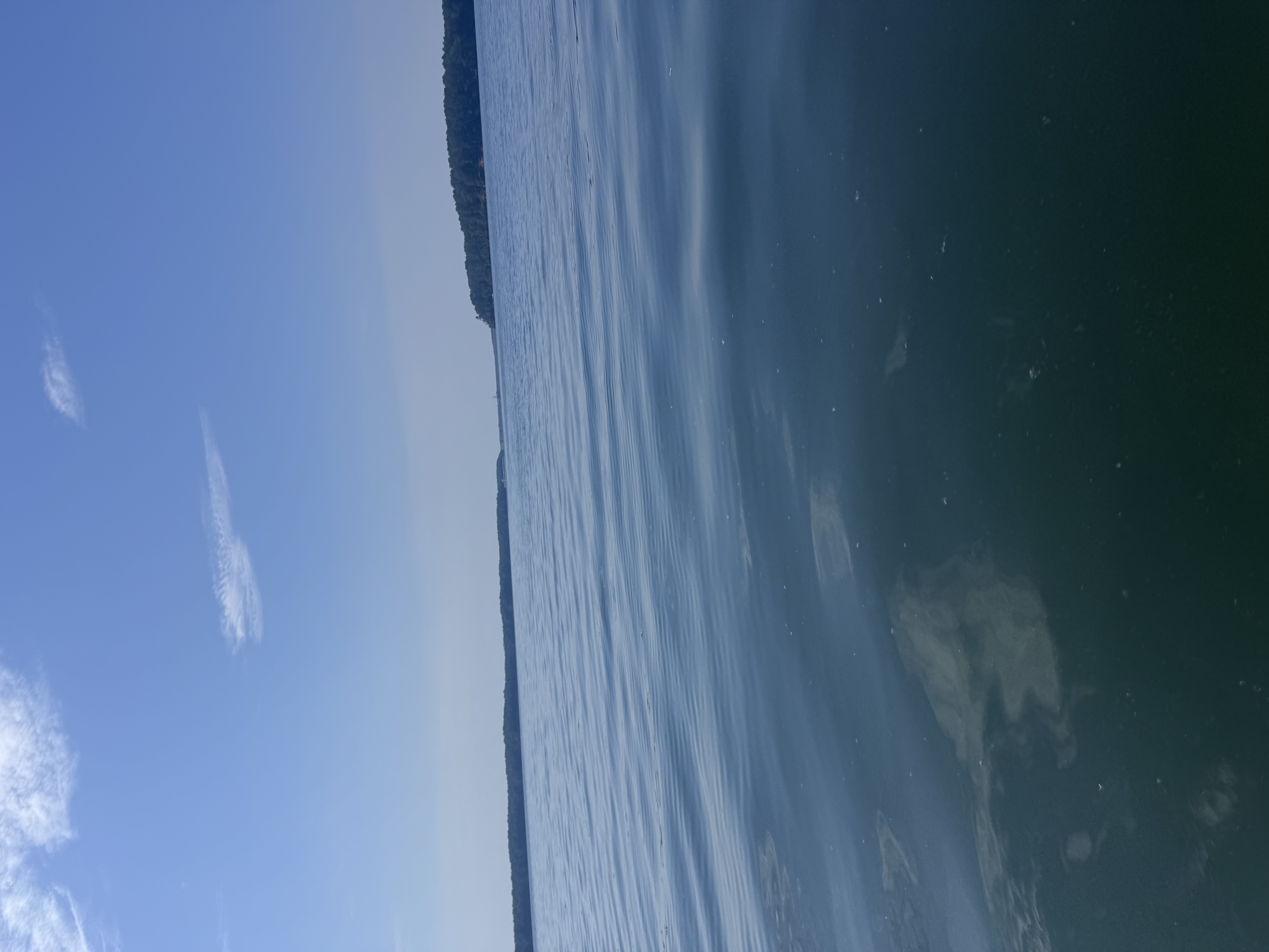
Bay Springs Lake
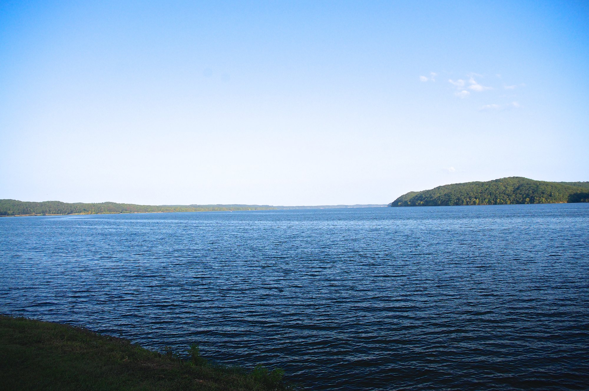
Pickwick Lake
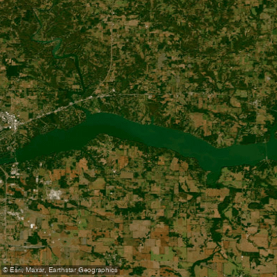
Wilson Lake
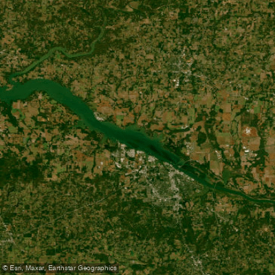
Wheeler Lake
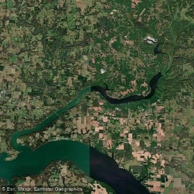
Wheeler Reservoir
Elk River
Shoal Creek
Explore Alabama waters
Top paddling waters
Popular Cities
Loading popular cities...
Explore near Cedar Creek Reservoir
Access points
Nearby waters
More in Alabama

Smarter Paddling Starts in the App.
Paddleways gives you everything you need to plan smarter, paddle better, and own every trip from first launch to takeout.