Shoal Creek
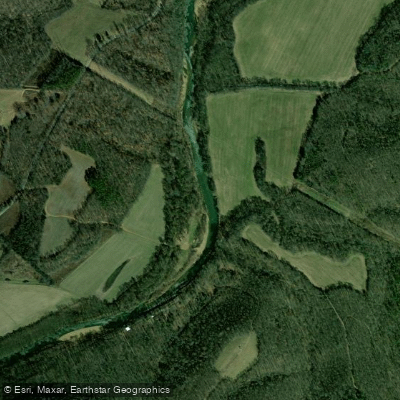
Shoal Creek
- Boat Ramps
- 2
- Access Points
- 3
- Campsites
- 1
Shoal Creek originates in northern Lawrence County, Tennessee, and flows southward for approximately 64 miles before entering the Tennessee River in Lauderdale County, Alabama. The creek's lower reaches are impounded by the backwater of Wilson Dam, creating a transition from free-flowing stream to reservoir environment. Historically known as the Sycamore River, this waterway played a crucial role in the region's early industrial development, particularly for the cotton industry that relied on its water power. The creek holds significant historical importance as the site where David Crockett established operations in 1817, including a powder mill, grist mill, and distillery near its banks. After a devastating flood destroyed these enterprises in September 1821, Crockett departed for West Tennessee. This connection is commemorated at David Crockett State Park, which borders portions of the creek and provides access for recreation.
**Paddling Opportunities** The most documented paddling section runs from Factory Creek (which quickly meets Shoal Creek) to the TN227 bridge, covering approximately 7.8 miles. This segment offers Class I-II rapids and typically requires 3-4 hours to complete. The creek features a shallow, gravel-bottomed streambed with clear water, making it accessible to intermediate paddlers. Multiple gravel bars along the route provide ideal spots for picnicking and rest breaks. The waterway deepens considerably near the U.S. Highway 64 Bypass bridge in Lawrenceburg, where it becomes more suitable for extended paddling trips. Various outfitters operate along the creek, offering float trips ranging from two to ten hours. Popular access points include Veteran's Park in Lawrenceburg and areas near Iron City, Tennessee.
**Wildlife and Natural Features** Paddlers regularly encounter herons, turtles, and otters throughout the creek. Bald eagles have been observed fishing from the creek and nesting in nearby trees. The waterway supports populations of bass, black perch, and catfish, making it popular with anglers who often combine fishing with their paddling trips.
**Seasonal Considerations** The creek maintains adequate water levels throughout most of the year, though flow varies depending on rainfall. The shallow nature of the waterway means dragging may occur during extended dry periods. Spring and early summer typically offer optimal conditions.
**Safety and Access** The creek flows through the heart of Lawrenceburg, with public access at Veteran's Park and David Crockett State Park. Entry points exist throughout Lawrence County with landowner permission. On July 13, 1998, flash flooding caused two deaths when approximately 9 inches of rain fell in four hours, creating what was estimated as a 100-year flood event. Paddlers should monitor weather conditions and avoid the creek during heavy rainfall.
Water access, boat ramps & amenities
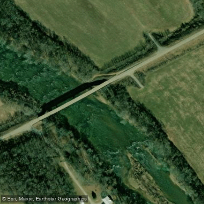
Learn how to get on Shoal Creek. Uncover great paddling access points, boat ramps, and all the facilities you need for an unforgettable day on the water. Some locations shown may border or include private property. Always check property boundaries and applicable regulations before visiting. PaddleWays's Public & Private Land layer can help you plan your access with confidence.
Paddle smarter with real-time insights
Whether you're en route and conditions shift or you're looking for the best spot based on current flows, we enable you to make informed decisions on the fly.








Find Places to Paddle

Over 400,000 Places to Paddle
Every user gets free access to launch points, boat ramps, and public property parcels.


Water and weather conditions (10 day forecast)
See the best times to paddle Shoal Creek and check the forecast before you go.
SHOAL CREEK AT IRON CITY, TN
Paddling near Shoal Creek

Tennessee River
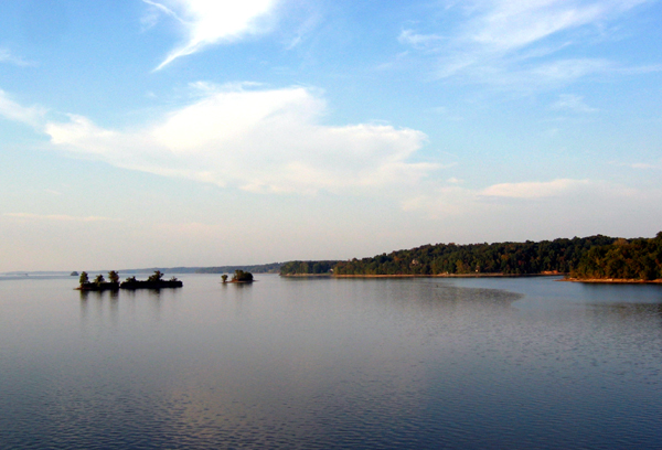
Kentucky Lake
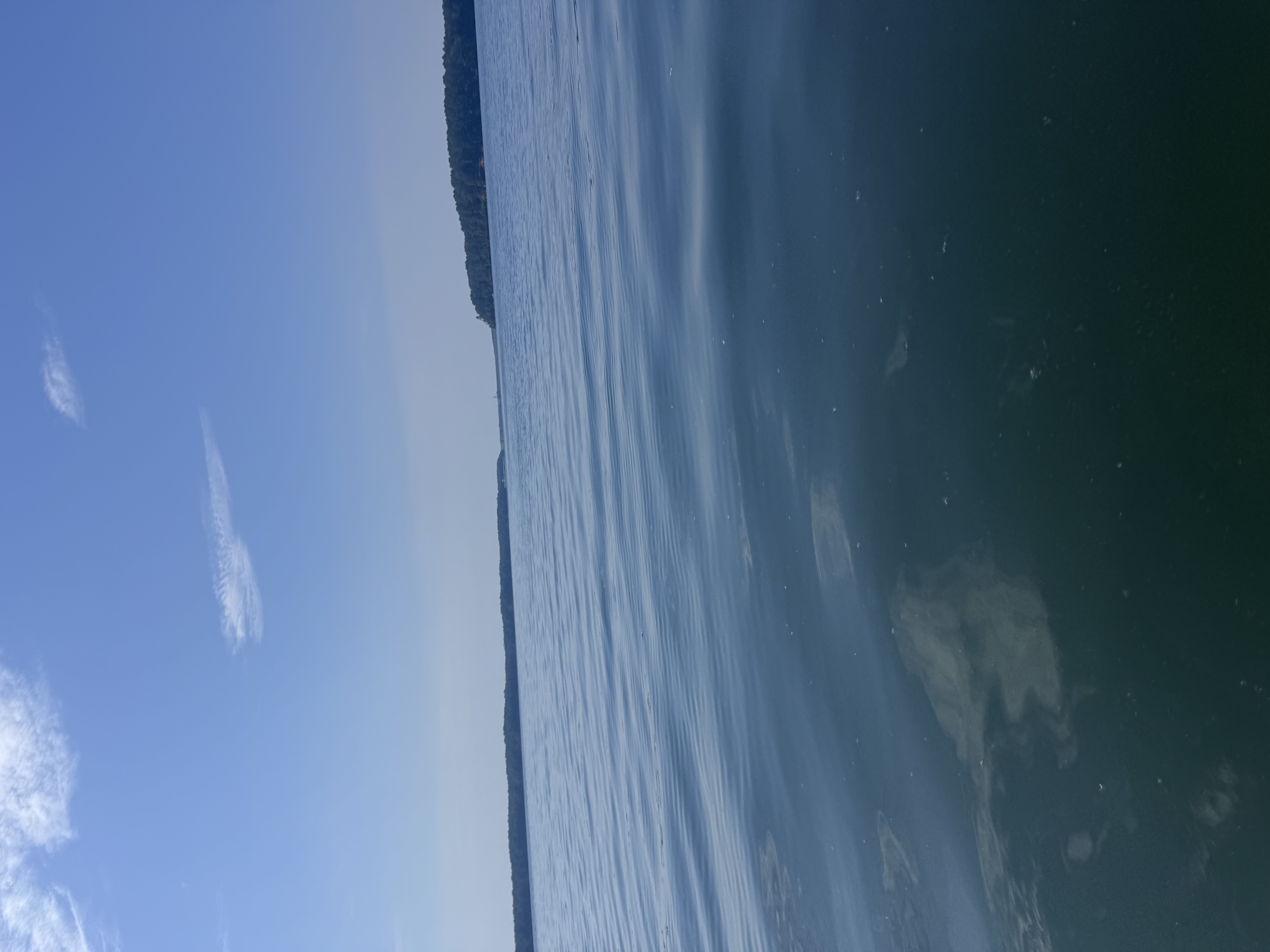
Bay Springs Lake
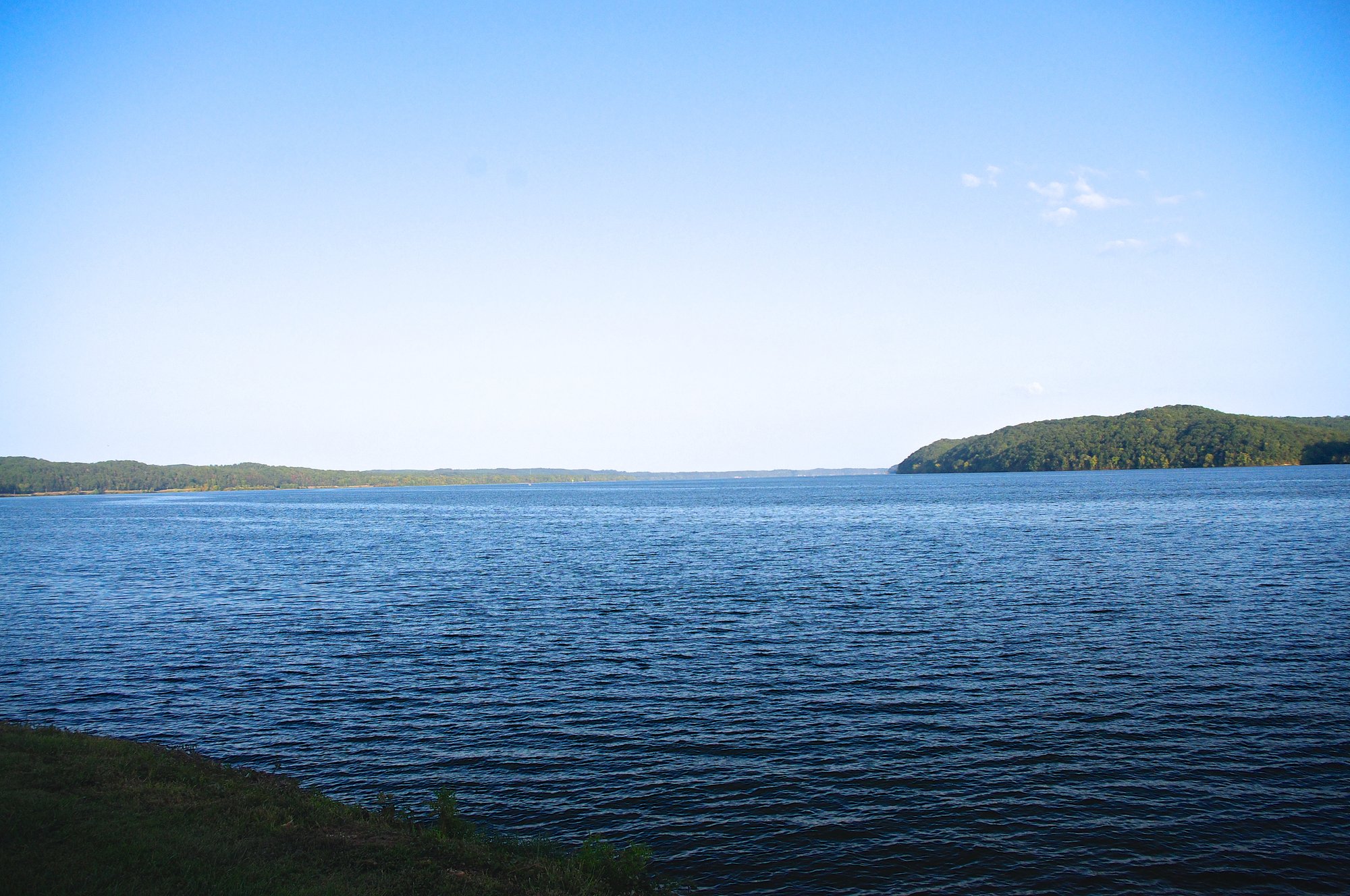
Pickwick Lake
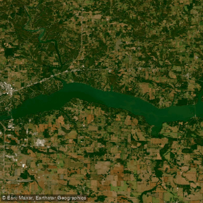
Wilson Lake
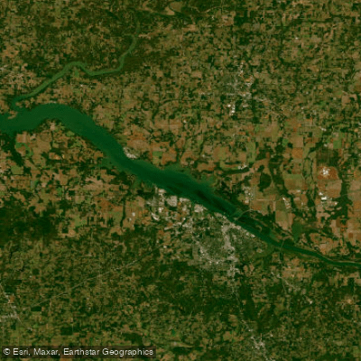
Wheeler Lake
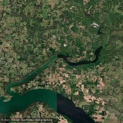
Wheeler Reservoir
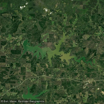
Cedar Creek Reservoir
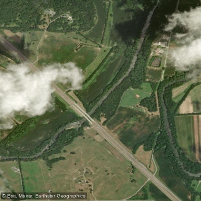
Elk River
Explore Alabama waters
Top paddling waters
Popular Cities
Loading popular cities...
Explore near Shoal Creek
Access points
Nearby waters
More in Alabama

Smarter Paddling Starts in the App.
Paddleways gives you everything you need to plan smarter, paddle better, and own every trip from first launch to takeout.