Grand Cypress Lake
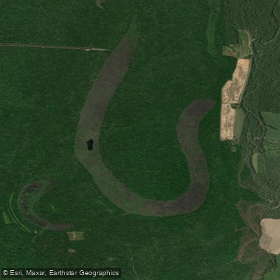
Grand Cypress Lake
- Boat Ramps
- 0
- Access Points
- 0
- Campsites
- 8
Grand Cypress Lake is a 303-acre cypress-studded lake located in Arkansas County, Arkansas. The lake is part of the George H. Dunklin Jr. Bayou Meto Wildlife Management Area and offers paddlers an opportunity to explore a classic Delta wetland environment.
The lake features extensive stands of cypress trees and provides important habitat for various wildlife species. Paddlers can expect to encounter waterfowl, particularly during migration seasons, as the surrounding area serves as a significant waterfowl wintering ground.
Access is regulated during waterfowl season (November through January), with specific restrictions on boat access times. During this period, boats are only allowed from noon until 6:30 PM. No outboard motors larger than 25 horsepower or surface-drive motors larger than 37 horsepower are permitted on the lake.
The lake is part of a network of waterways within the wildlife management area that includes Cox Cypress Lake and various bayous. This system helps maintain water levels that support the surrounding wetland ecosystem. While primarily managed for wildlife habitat and hunting, the lake offers peaceful paddling opportunities when not impacted by seasonal hunting activities.
Notable nearby features include the larger Halowell Reservoir (600 acres) and Cox Cypress Lake (150 acres), providing additional paddling options within the same area. The flat topography of the region creates generally calm water conditions suitable for beginner to intermediate paddlers.
A free annual General Use Permit from the Arkansas Game and Fish Commission is required to access the area. Primitive camping is available at designated sites throughout the wildlife management area for those planning multi-day trips.
Water access, boat ramps & amenities
Learn how to get on Grand Cypress Lake. Uncover great paddling access points, boat ramps, and all the facilities you need for an unforgettable day on the water. Some locations shown may border or include private property. Always check property boundaries and applicable regulations before visiting. PaddleWays's Public & Private Land layer can help you plan your access with confidence.
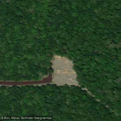
Lower Vallier Access Campground
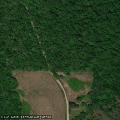
Grand Cypress Access Campground
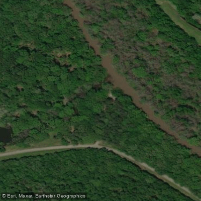
Cox Cypress Access Campground
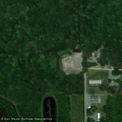
Bill Bridgeforth Long Pond Campground
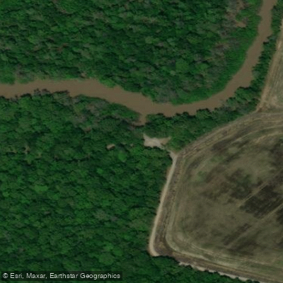
Big Bayou Meto Access Campground
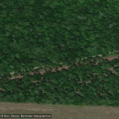
Walter Will Bryant Cannon Brake Campground
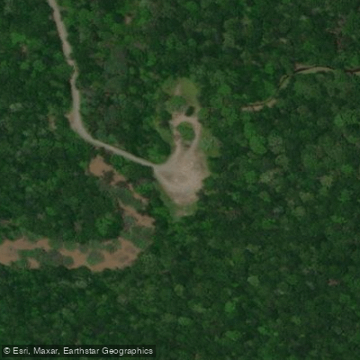
Long Bell Access Campground
Buchingham Flats Access Campground
Paddle smarter with real-time insights
Whether you're en route and conditions shift or you're looking for the best spot based on current flows, we enable you to make informed decisions on the fly.








Find Places to Paddle

Over 400,000 Places to Paddle
Every user gets free access to launch points, boat ramps, and public property parcels.


Water and weather conditions (10 day forecast)
See the best times to paddle Grand Cypress Lake and check the forecast before you go.
No forecast data available.
Paddling near Grand Cypress Lake

Arkansas River
Bayou Bartholomew
Saline River
Bayou Meto

White River
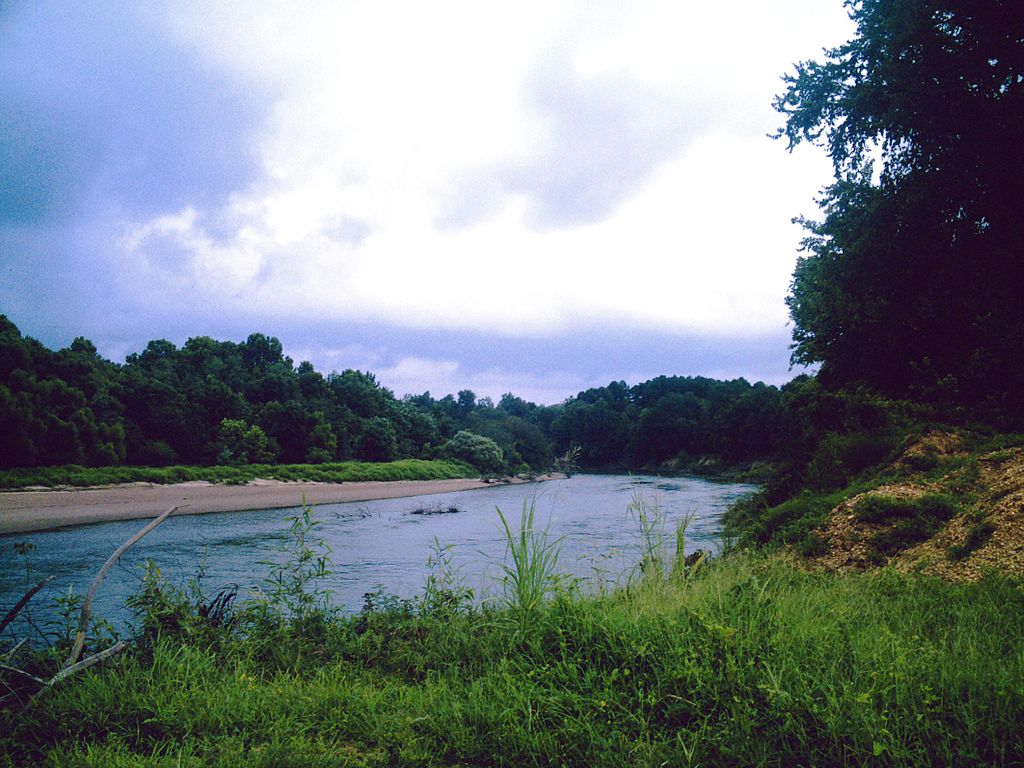
Ouachita River
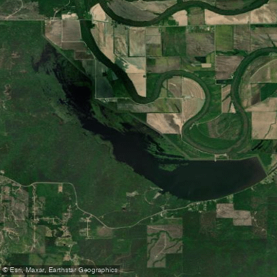
Cane Creek Lake
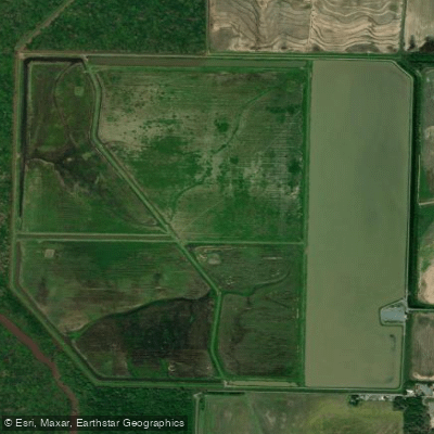
Halowell Reservoir
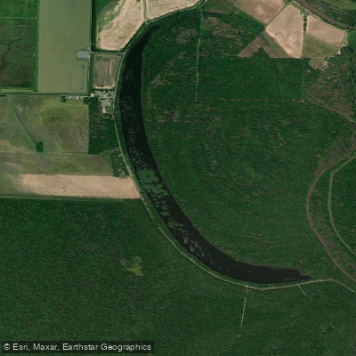
Cox Cypress Lake
Explore Arkansas waters
Top paddling waters
Popular Cities
Loading popular cities...
Explore near Grand Cypress Lake
Access points
- Bayou Meto Bridge
- Little Bayou Meto Bridge
- Bayou Meto Bridge
- Cross Bayou Bridge
- Kings Bayou Bridge
- Lower Vallier Access Campground
- Grand Cypress Access Campground
- Cox Cypress Access Campground
- Bill Bridgeforth Long Pond Campground
- Big Bayou Meto Access Campground
- Walter Will Bryant Cannon Brake Campground
- Long Bell Access Campground
- All 13 spots
Nearby waters
More in Arkansas

Smarter Paddling Starts in the App.
Paddleways gives you everything you need to plan smarter, paddle better, and own every trip from first launch to takeout.