Halowell Reservoir
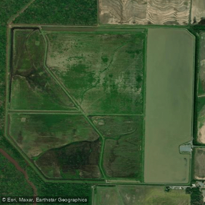
Halowell Reservoir
- Boat Ramps
- 2
- Access Points
- 2
- Campsites
- 7
Halowell Reservoir is a 600-acre lake located within the George H. Dunklin Jr. Bayou Meto Wildlife Management Area in Arkansas. The reservoir is part of a larger complex of wetlands and bottomland hardwood forests, offering paddlers a unique opportunity to explore a diverse ecosystem.
Access to Halowell Reservoir is primarily by boat. The wildlife management area can be reached via U.S. highways 79, 165, 152, 88, and 276. Boat launch locations for the reservoir are limited, so it's best to check with local authorities for the most up-to-date access points.
Paddlers should be aware of several safety considerations. The area has a flat topography with little elevation change, which can make navigation challenging. Submerged stumps and fallen logs pose hazards for boaters, necessitating cautious speeds. The use of insect repellent is advised due to mosquitoes common in bottomland areas.
Wildlife viewing is a significant draw for paddlers on Halowell Reservoir. The area attracts numerous waterfowl species, particularly during fall and winter when about 13,000 acres of Bayou Meto are flooded. Migratory birds and resident wildlife are abundant, offering excellent opportunities for nature observation.
Seasonal considerations are important for planning a paddling trip. Fall flooding attracts ducks to the area, which may impact paddling conditions. Spring flooding can affect access and water levels. Paddlers should be aware that the area is popular for hunting, particularly during waterfowl seasons.
The reservoir is surrounded by a complex network of streams, bayous, and other water bodies. This includes eight permanent streams totaling 30.5 miles, twelve intermediate streams, and numerous ditches contributing to flooding and drainage. This intricate water system creates a rich, dynamic environment for paddling exploration.
Facilities in the area are limited. There are 52 primitive campsites scattered throughout the wildlife management area, with boundaries marked by signs. The nearest town offering restaurants and other amenities is Stuttgart.
Paddlers should note that the primary management goal of the area is to provide habitat for waterfowl and other wildlife, with recreational opportunities as a secondary consideration. As such, paddlers should be prepared for a natural, minimally developed environment and practice Leave No Trace principles.
Water access, boat ramps & amenities
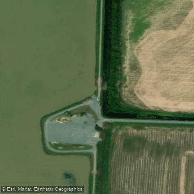
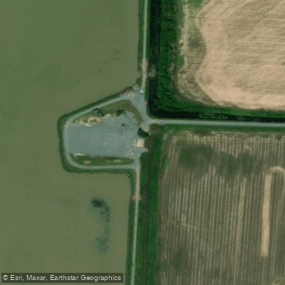
Learn how to get on Halowell Reservoir. Uncover great paddling access points, boat ramps, and all the facilities you need for an unforgettable day on the water. Some locations shown may border or include private property. Always check property boundaries and applicable regulations before visiting. PaddleWays's Public & Private Land layer can help you plan your access with confidence.
Paddle smarter with real-time insights
Whether you're en route and conditions shift or you're looking for the best spot based on current flows, we enable you to make informed decisions on the fly.








Find Places to Paddle

Over 400,000 Places to Paddle
Every user gets free access to launch points, boat ramps, and public property parcels.


Water and weather conditions (10 day forecast)
See the best times to paddle Halowell Reservoir and check the forecast before you go.
No forecast data available.
Paddling near Halowell Reservoir

Arkansas River
Bayou Bartholomew
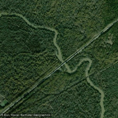
Saline River
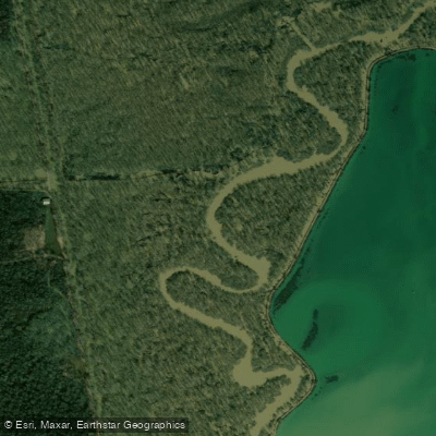
Bayou Meto

White River
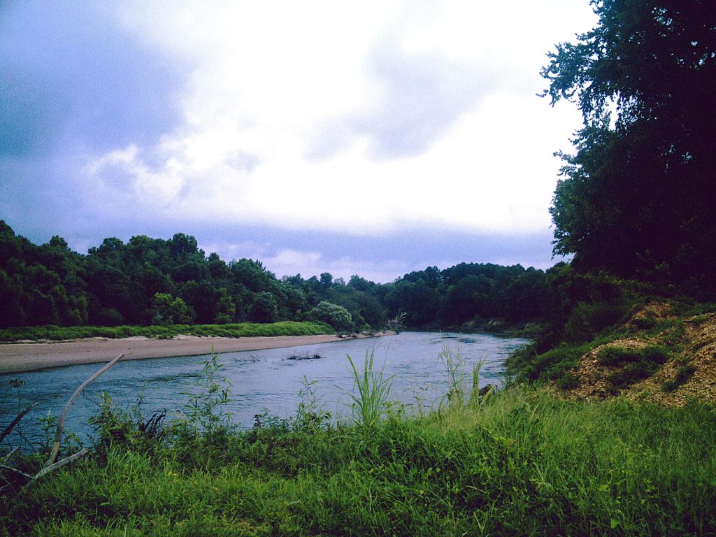
Ouachita River
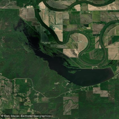
Cane Creek Lake
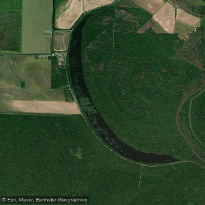
Cox Cypress Lake
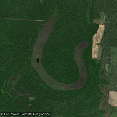
Grand Cypress Lake
Explore Arkansas waters
Top paddling waters
Popular Cities
Loading popular cities...
Explore near Halowell Reservoir
Access points
Nearby waters
More in Arkansas

Smarter Paddling Starts in the App.
Paddleways gives you everything you need to plan smarter, paddle better, and own every trip from first launch to takeout.