Lee Creek Reservoir
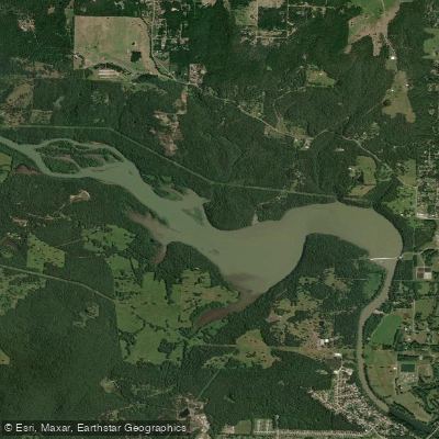
Lee Creek Reservoir
- Boat Ramps
- 1
- Access Points
- 1
- Campsites
- 0
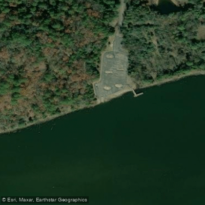
Lee Creek Reservoir is located in Crawford County, Arkansas. The reservoir serves as a takeout point for paddlers floating Lee Creek. Access is available via a boat ramp at the Lee Creek Reservoir Recreation Area off Pine Hollow Road.
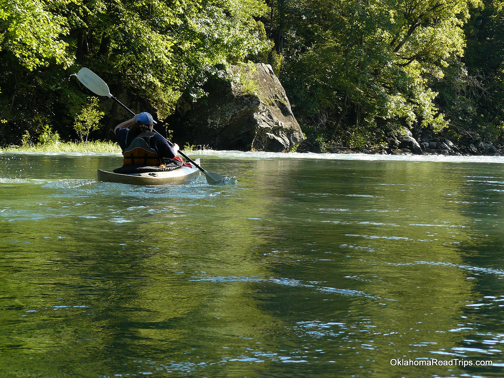
The reservoir is part of a scenic paddling route on Lee Creek. Upstream of the reservoir, Lee Creek offers a secluded float through an area with no roads, houses, or cell service. The upper section contains some Class I rapids suitable for novice paddlers. As the creek approaches the reservoir, it transitions to a wide, deep, slower-moving waterway before entering the lake itself.
Wildlife viewing opportunities abound along Lee Creek and the reservoir. Paddlers can expect to see large old-growth timber and a variety of wildlife. The area is known for its natural beauty, with one paddler describing it as "one of the most beautiful floats I have done."
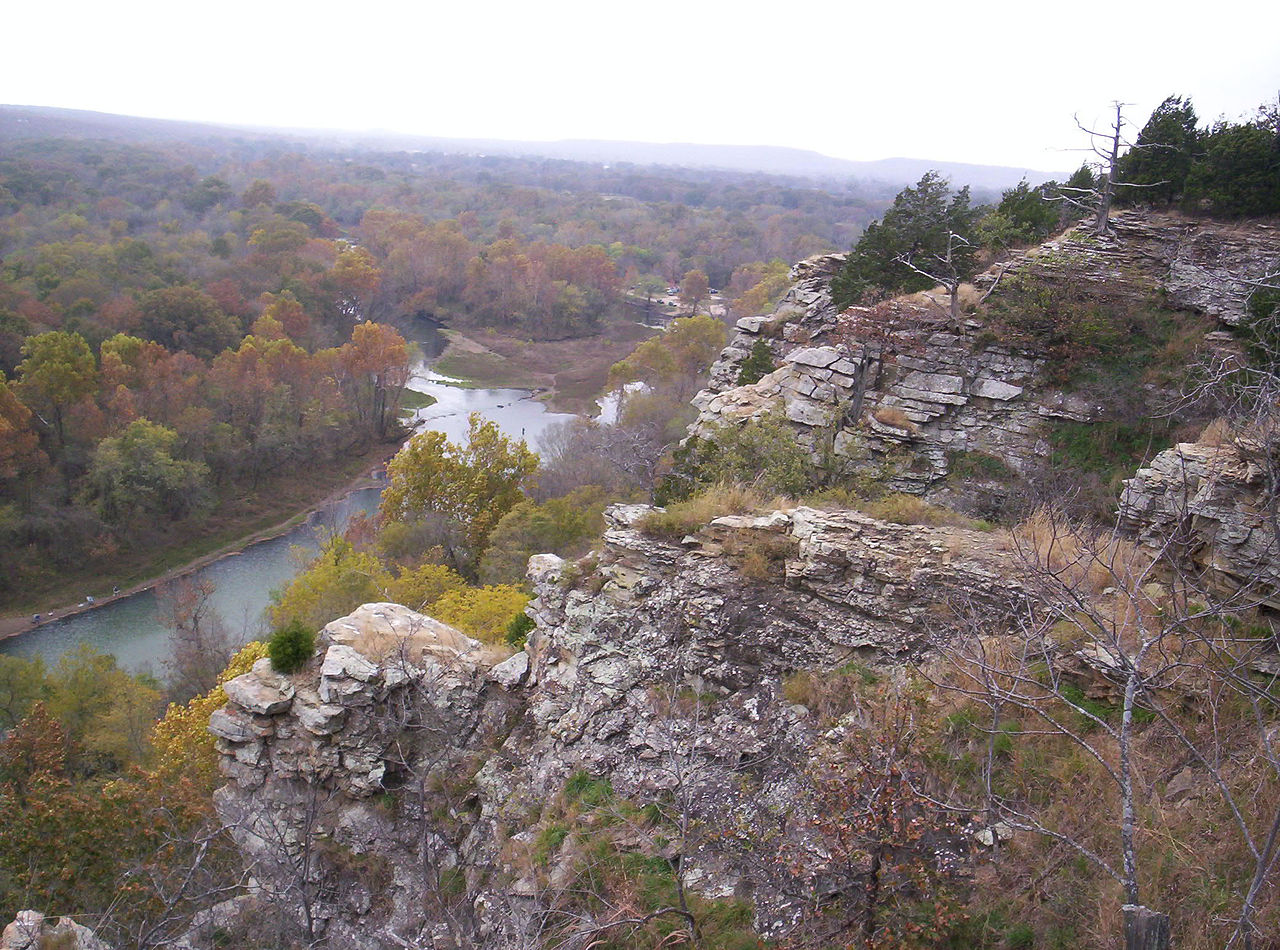
Fishing is popular, with various species of bass and sunfish available. The creek and reservoir wind through the scenic Boston Mountains, providing paddlers with great views.
For those looking to camp, there are campgrounds available in the Lee Creek area, though specific details about facilities at the reservoir are not provided.
Paddlers should be aware that cell service is limited or non-existent in much of the area, particularly in the upper sections of Lee Creek. It's advisable to download maps in advance and bring a GPS device.
The best times for paddling may vary seasonally. May tends to be the wettest month, while January is typically the driest. Water levels can affect paddling conditions, with low water potentially creating obstacles like log jams and snags.
When planning a trip, paddlers should consider the 3-mile Class II+ section of Lee Creek upstream of the reservoir, which runs from Highway 220 to the National Forest Service Access point. This section offers a mix of rapids, gravel bars, and scenic views that eventually lead into the calmer waters of Lee Creek Reservoir.
Water access, boat ramps & amenities
Learn how to get on Lee Creek Reservoir. Uncover great paddling access points, boat ramps, and all the facilities you need for an unforgettable day on the water. Some locations shown may border or include private property. Always check property boundaries and applicable regulations before visiting. PaddleWays's Public & Private Land layer can help you plan your access with confidence.
Paddle smarter with real-time insights
Whether you're en route and conditions shift or you're looking for the best spot based on current flows, we enable you to make informed decisions on the fly.








Find Places to Paddle

Over 400,000 Places to Paddle
Every user gets free access to launch points, boat ramps, and public property parcels.


Water and weather conditions (10 day forecast)
See the best times to paddle Lee Creek Reservoir and check the forecast before you go.
Lee Creek at Lee Creek Reservoir near Van Buren,AR
Paddling near Lee Creek Reservoir

Arkansas River
Lake Dardanelle

White River
Canadian River
Mulberry River
Illinois River
Petit Jean River
Webbers Falls Reservoir
Fourche LaFave River
Explore Arkansas waters
Top paddling waters
Popular Cities
Loading popular cities...
Explore near Lee Creek Reservoir
Access points
- Lee Creek Reservoir Boat Ramp
- Webster Branch Bridge
- Foster Branchcrawford Bridge
- Foster Branch Crawford Bridge
- Lee Creekvan Buren Bridge
- Lee Creekcrawford Co Bridge
- Lee Creekcrawford Co Bridge
- Garrison Creek Bridge
- Webber Creekcraw Co Bridge
- Flat Rock Cr Crawford Bridge
- Sulphur Creek Bridge
- Flat Rock Creek Bridge
- All 19 spots
Nearby waters
More in Arkansas

Smarter Paddling Starts in the App.
Paddleways gives you everything you need to plan smarter, paddle better, and own every trip from first launch to takeout.