Little Buffalo River
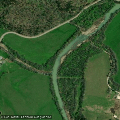
Little Buffalo River
- Boat Ramps
- 0
- Access Points
- 1
- Campsites
- 3
The Little Buffalo River's East Fork carves through Newton County in the rugged Ozark Mountains of north-central Arkansas, creating one of the state's most technical whitewater challenges. This tributary system flows through steep, forested terrain before eventually joining the larger Buffalo River watershed that defines this region of Arkansas.
The East Fork section from Deer to Murray represents a serious 7.3-mile whitewater gauntlet rated Class III-IV with sections reaching Class V+. This run demands advanced paddling skills, precise boat control, and the ability to read complex hydraulics in tight quarters. The gradient drops sharply through this stretch, generating continuous rapids with limited recovery pools between technical sequences. Paddlers face boulder gardens, narrow chutes, and powerful hydraulics that require split-second decision-making and aggressive maneuvering.
Water levels on the Little Buffalo River are entirely rainfall-dependent, with no spring-fed consistency to maintain flows during dry periods. The prime paddling window typically occurs during late winter and early spring when regional precipitation swells the creek to runnable levels. This flashy nature means the river transforms rapidly—what runs as a thrilling challenge at optimal flows becomes either an unrunnable torrent or an impassable rock garden within days. Monitoring recent rainfall and current gauge readings is essential before committing to the drive.
The surrounding Newton County landscape features the characteristic limestone bluffs, dense hardwood forests, and steep hollows that define Arkansas's Ozark wilderness. Access requires navigating rural roads to reach the put-in at Deer and take-out at Murray, both small communities serving as gateways to this remote whitewater. The isolation adds to the adventure but also increases consequences—rescue resources are limited, and self-sufficiency is mandatory.
Long Branch Creek, a nearby tributary rated Class III-V, flows 5.5 miles from a hiking access point off County Road 28 to join the East Fork, indicating the steep, technical character of this entire drainage system. Sandy Springs Hollow, another challenging 2-mile run in the same watershed, reinforces that this corner of Newton County harbors some of Arkansas's most demanding creek boating.
Safety considerations are paramount on the Little Buffalo River's East Fork. Scout unfamiliar drops, paddle with experienced partners, and carry appropriate safety gear including throw ropes and first aid supplies. The remote setting, technical difficulty, and unpredictable water levels make this run suitable only for expert paddlers comfortable with Class IV+ whitewater and wilderness self-rescue scenarios. Cell phone coverage is unreliable throughout much of this backcountry terrain.
Water access, boat ramps & amenities
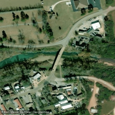
Learn how to get on Little Buffalo River. Uncover great paddling access points, boat ramps, and all the facilities you need for an unforgettable day on the water. Some locations shown may border or include private property. Always check property boundaries and applicable regulations before visiting. PaddleWays's Public & Private Land layer can help you plan your access with confidence.
Paddle smarter with real-time insights
Whether you're en route and conditions shift or you're looking for the best spot based on current flows, we enable you to make informed decisions on the fly.








Find Places to Paddle

Over 400,000 Places to Paddle
Every user gets free access to launch points, boat ramps, and public property parcels.


Water and weather conditions (10 day forecast)
See the best times to paddle Little Buffalo River and check the forecast before you go.
No forecast data available.
Paddling near Little Buffalo River
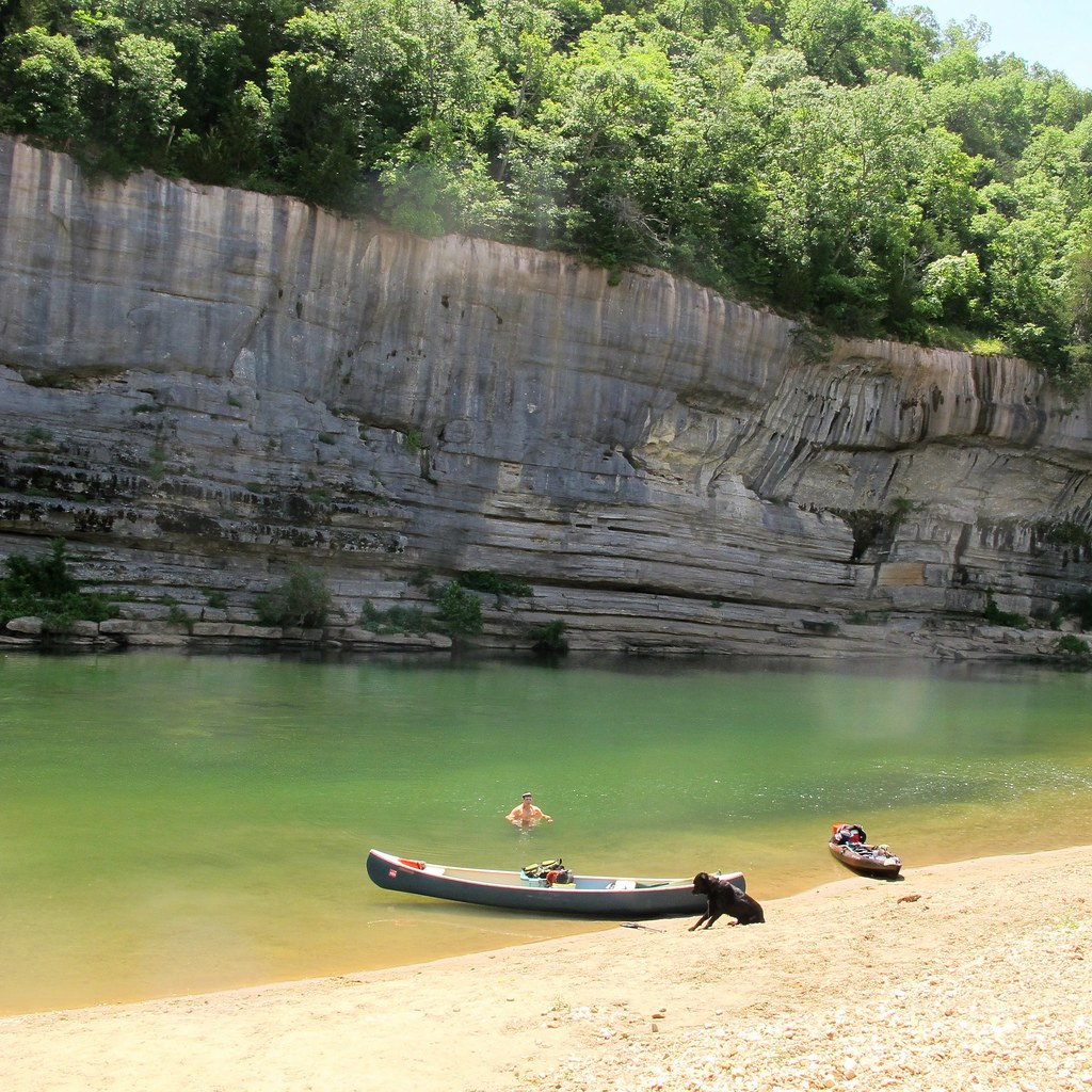
Buffalo River

White River
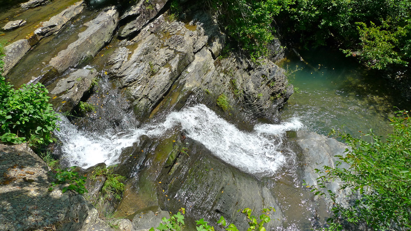
Crooked Creek
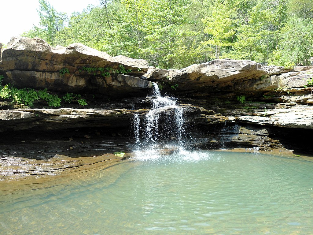
Kings River
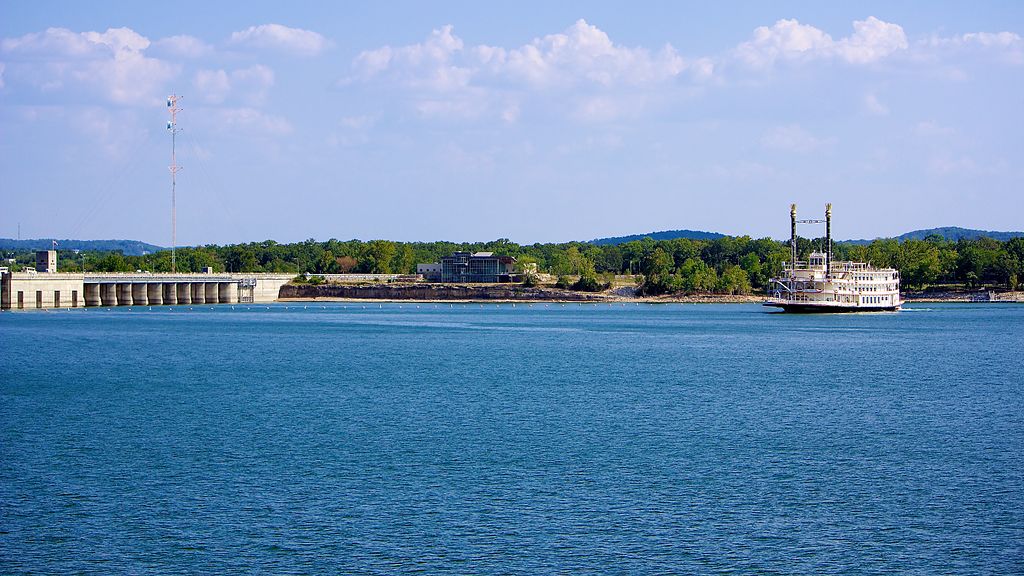
Table Rock Lake

Arkansas River
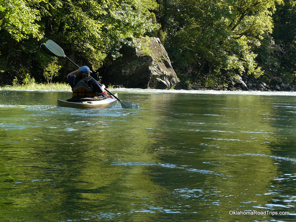
Mulberry River
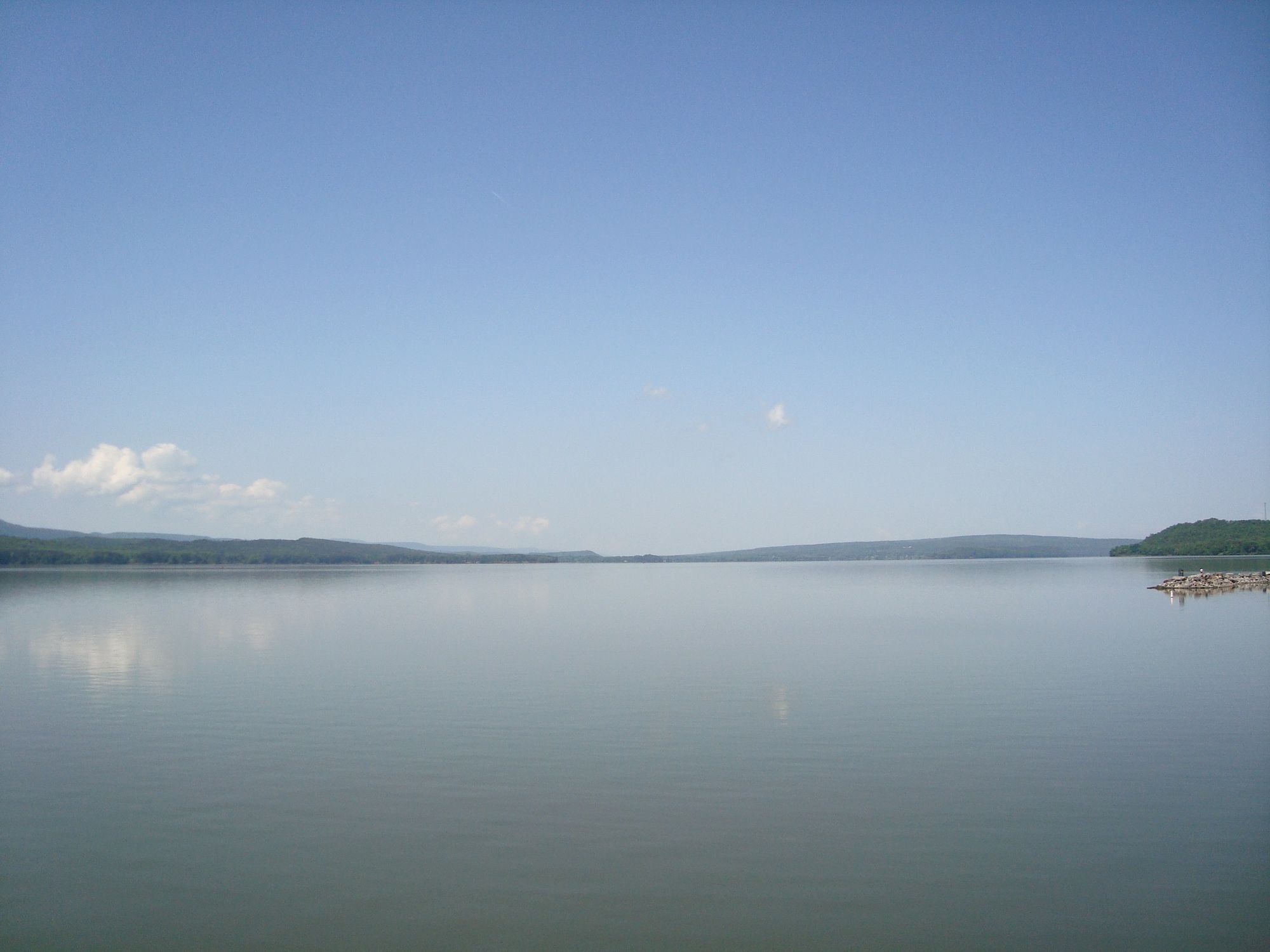
Lake Dardanelle
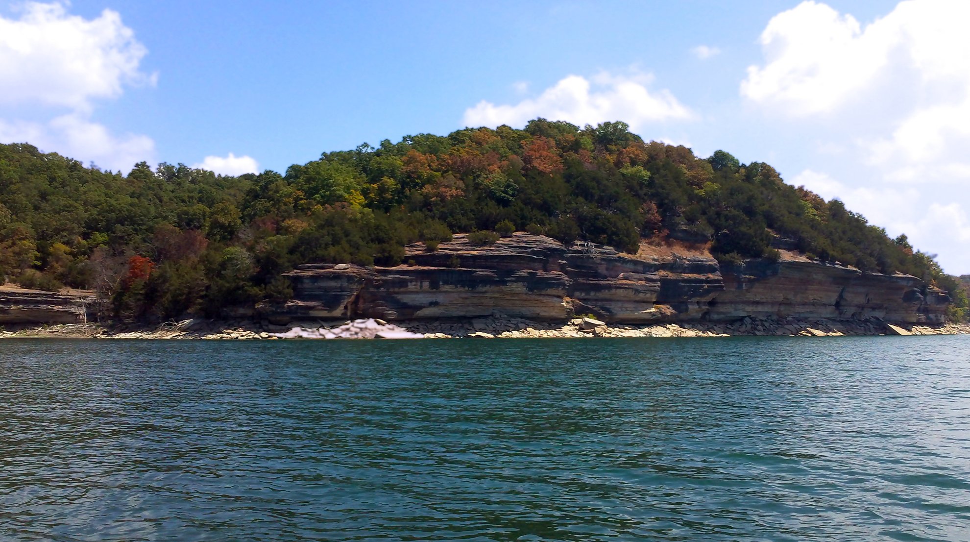
Beaver Lake
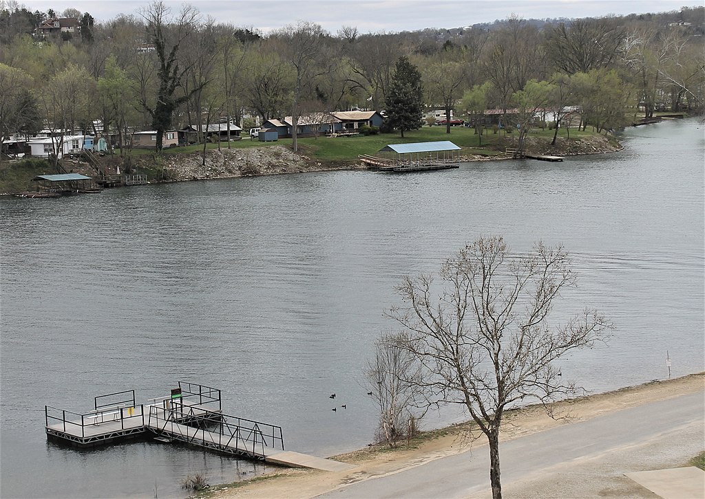
Lake Taneycomo
Explore Arkansas waters
Top paddling waters
Popular Cities
Loading popular cities...
Explore near Little Buffalo River
Access points
Nearby waters
More in Arkansas

Smarter Paddling Starts in the App.
Paddleways gives you everything you need to plan smarter, paddle better, and own every trip from first launch to takeout.