Curated by PaddleWays
RouteClass I–II
- Distance
- 10.4 mi
- Paddle time
- 8 hrs
- Best for
- Beginners, intermediate paddlers
- Put-in → take-out
- Gunner Pool Walk-In Access → North Sylamore Creek West Boat Ramp
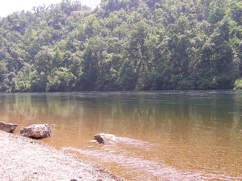
North Sylamore Creek is a pristine Ozark waterway that originates at the confluence of South Fork and Cole Fork Creeks in Stone County, Arkansas. This crystal-clear stream flows approximately 20 miles through the rugged Ozark National Forest before joining the White River near Allison. The creek offers paddlers a range of experiences, from technical Class II-III rapids in the upper reaches to more leisurely Class I-II floating in the lower sections. The most popular run is the 12.5-mile stretch from Barkshed Recreation Area to the White River confluence, which can be split into shorter segments using access points at Gunner Pool and Blanchard Springs.
North Sylamore Creek is best suited for intermediate paddlers comfortable with swift currents and occasional ledge drops. The upper section from Barkshed to Gunner Pool is only navigable during high water and requires solid whitewater skills. The lower reaches are more forgiving but still demand precise boat control. Prime paddling season typically runs from late fall through spring when rainfall and snowmelt boost water levels. Summer often brings low flows suitable only for wading and swimming. The creek's watershed drains quickly, so catching it at optimal levels requires careful planning and flexibility.
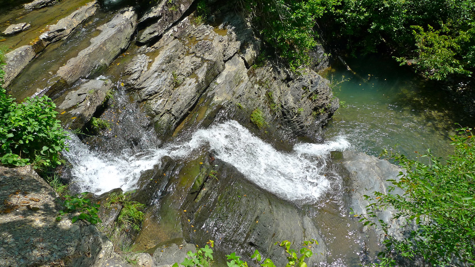
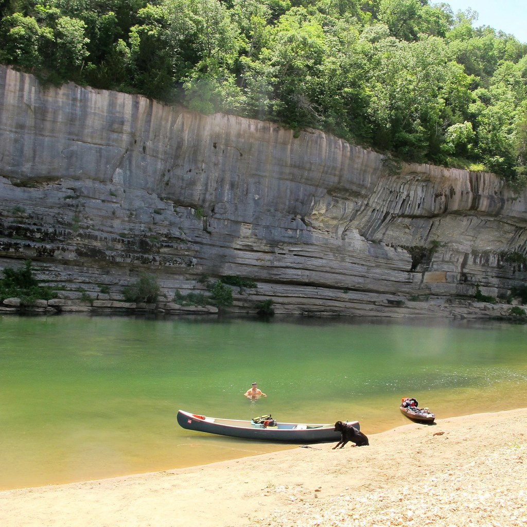
The creek corridor supports a diverse ecosystem, including endangered bat species that forage along its banks. Paddlers may spot white-tailed deer, wild turkey, and a variety of songbirds. Towering bluffs draped in ferns and moss line much of the route, creating a sense of paddling through a lush green canyon. Key landmarks include the impressive waterfall near the end of the run, visible on river left about 2 miles above the White River confluence.
Blanchard Springs Recreation Area, located roughly midway down the creek, offers camping and the chance to explore nearby limestone caverns. Primary access points are found at Barkshed, Gunner Pool, Blanchard Springs, and near the Highway 5 bridge at Allison. The town of Mountain View, about 15 miles southwest, serves as the main gateway to the area.
North Sylamore Creek gained federal protection as a National Wild and Scenic River in 1992, recognized for its outstanding natural beauty and recreational value. The parallel North Sylamore Creek Trail provides opportunities for hikers to experience the watershed on foot. Paddlers should be aware of strainers and occasional low-hanging branches, especially after storms. As with all Ozark streams, water levels can rise rapidly during heavy rain events. Multi-day trips are possible by combining creek floating with camping at established recreation areas along the route.
Curated routes
Hand-picked by the PaddleWays team, with put-ins, take-outs, paddle times and the hazards along the way.
RouteClass I–II
RouteClass II
Hazards
No paddler has reported a hazard here yet, so these are the dams, falls and big rapids on our map. Hazards change with flows and storms, so check them before you launch.
From the community
Nobody has shared a trip on North Sylamore Creek yet. Paddle it, then tell the next paddler how it went.
See exactly where the public can get on and off the river. Launch points and boat ramps are paired with PaddleWays' public land data so you know where you can legally land.
Public shoreline
95%of the river's shoreline is public
Flows, weather and a route-by-route verdict, so you know which stretch of the North Sylamore Creek is worth paddling today.
Live flows, marked hazards and fresh trip reports from paddlers who were just on the water, all in one place.





Every user gets free access to launch points, boat ramps, and public property parcels.
Loading popular cities...
PaddleWays gives you everything you need to plan smarter, paddle better, and own every trip from first launch to takeout.