Rock Creek
Rock Creek
- Boat Ramps
- 1
- Access Points
- 1
- Campsites
- 7
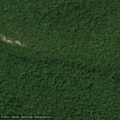
Rock Creek flows through the rugged terrain of Marion and Searcy counties in north-central Arkansas before joining the Buffalo River as a tributary. This creek drains a forested watershed characteristic of the Boston Mountains and Ozark highlands, carving through limestone bluffs and creating intimate canyon environments that showcase the region's distinctive geology. The creek features a series of waterfalls and cascades along its course, with Rock Creek Bluff Falls and Deer Trail Falls representing notable features within the drainage. These waterfalls form where the creek descends over resistant rock layers, creating scenic drops beneath overhanging bluffs. The Rock Creek drainage flows into Big Piney Creek near its lower reaches before ultimately contributing to the Buffalo River system.
Access to Rock Creek requires navigating remote forest roads and county routes south of Highway 16 near the community of Deer in Searcy County. The area remains largely undeveloped, with Forest Road 1002 (also designated Newton County Road 7470) providing the primary access corridor. This rough, minimally maintained road requires high-clearance or four-wheel-drive vehicles, particularly where it fords Rock Creek itself. The remoteness ensures solitude but demands self-sufficiency and careful trip planning.
The terrain surrounding Rock Creek consists of steep hillsides covered in mixed hardwood and pine forests typical of the Ozark uplands. The bluff lines create dramatic overhangs and shelter caves, with the geology revealing layers of Paleozoic limestone and sandstone. Wildlife in the area includes white-tailed deer, wild turkey, and various forest-dwelling species adapted to the rugged topography.
Recreational use centers primarily on hiking and waterfall exploration rather than paddling, given the creek's modest size and steep gradient. The ATV trail system in the area provides access points for exploring the Rock Creek drainage on foot, though visitors should expect challenging terrain with significant elevation changes. The base of waterfalls and bluff overhangs offer opportunities for photography and geological observation.
Water levels fluctuate seasonally, with spring typically providing the most impressive waterfall displays following rainfall. Summer and fall may see reduced flows, though the permanent nature of the main waterfalls suggests reliable baseflow from springs feeding the system. The area's isolation means visitors should carry adequate supplies, navigation tools, and be prepared for limited or no cell phone coverage.
The Rock Creek area exemplifies the wild character of the Buffalo River's tributary system, offering backcountry experiences for those willing to navigate challenging access conditions in exchange for remarkable natural features and genuine remoteness.
Water access, boat ramps & amenities
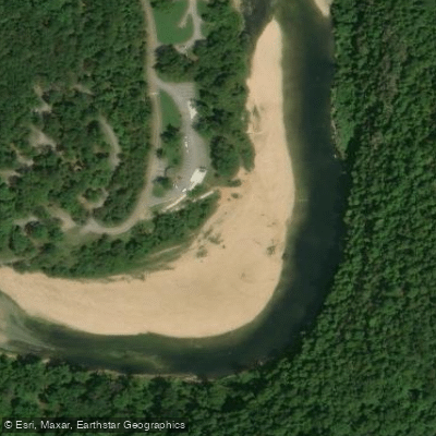
Learn how to get on Rock Creek. Uncover great paddling access points, boat ramps, and all the facilities you need for an unforgettable day on the water. Some locations shown may border or include private property. Always check property boundaries and applicable regulations before visiting. PaddleWays's Public & Private Land layer can help you plan your access with confidence.
Paddle smarter with real-time insights
Whether you're en route and conditions shift or you're looking for the best spot based on current flows, we enable you to make informed decisions on the fly.








Find Places to Paddle

Over 400,000 Places to Paddle
Every user gets free access to launch points, boat ramps, and public property parcels.


Water and weather conditions (10 day forecast)
See the best times to paddle Rock Creek and check the forecast before you go.
No forecast data available.
Paddling near Rock Creek

White River
Crooked Creek
Buffalo River
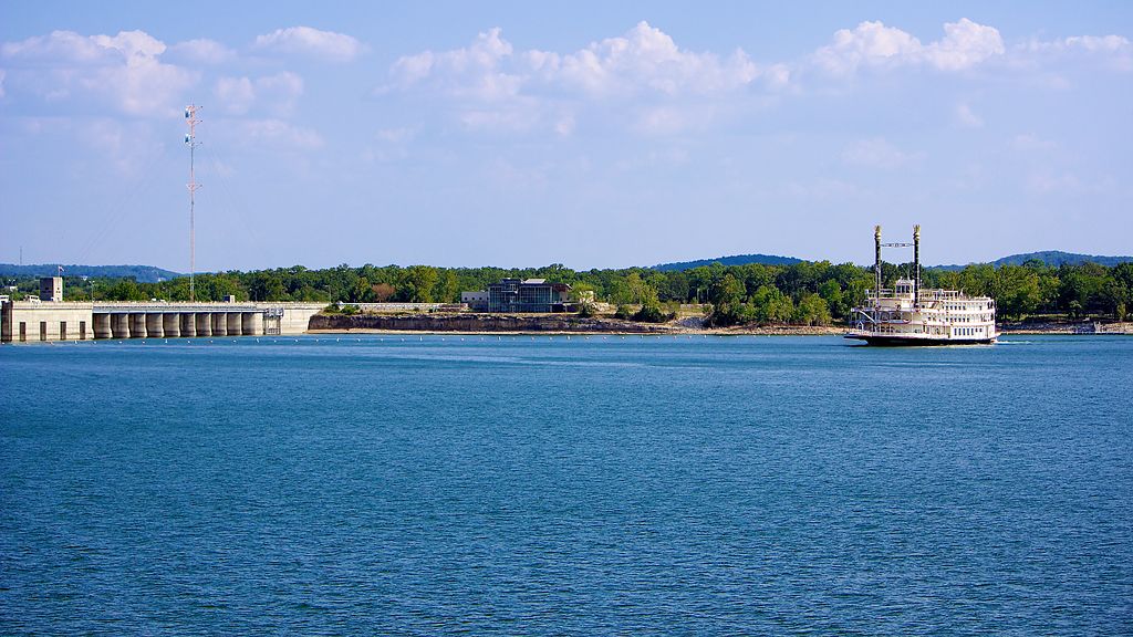
Table Rock Lake
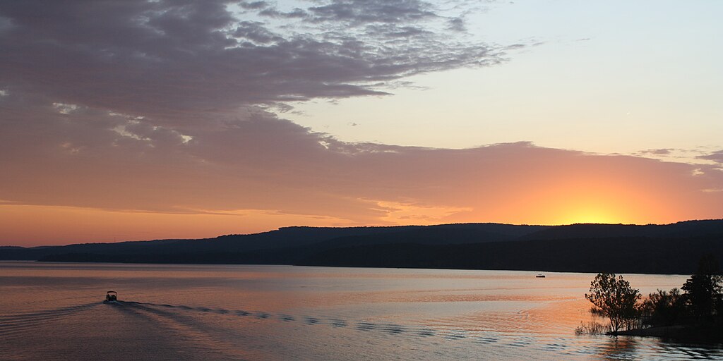
Greers Ferry Lake
Little Red River
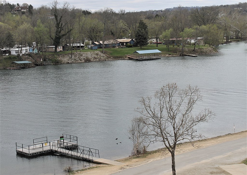
Lake Taneycomo
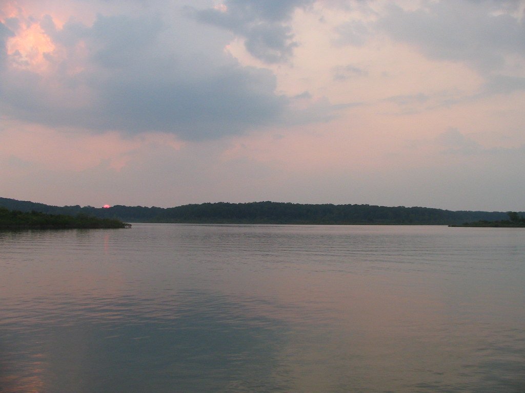
Bull Shoals Lake
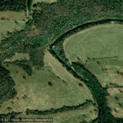
Clear Creek
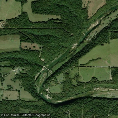
North Fork River
Explore Arkansas waters
Top paddling waters
Popular Cities
Loading popular cities...
Explore near Rock Creek
Access points
- Buffalo Point Boat Ramp
- Buffalo River Bridge
- Water Creek Bridge
- Ditch Bridge
- Big Creek Bridge
- Buffalo Point Access Buffalo River Campground
- Buffalo Point Access Buffalo River Campground
- Buffalo Point Access Buffalo River Campground
- Buffalo Point Access Buffalo River Campground
- Spring Creek Access Campground
- Rush Landing Campground
- Maumee South Access Buffalo River Campground
- All 18 spots
Nearby waters
More in Arkansas

Smarter Paddling Starts in the App.
Paddleways gives you everything you need to plan smarter, paddle better, and own every trip from first launch to takeout.