South Fork Eel River
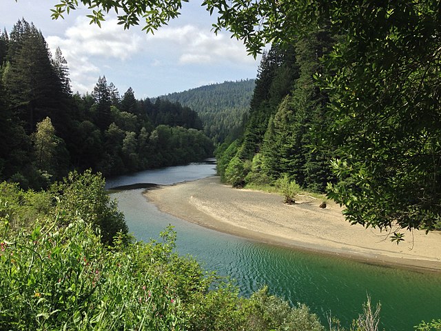
South Fork Eel River
- Boat Ramps
- 1
- Access Points
- 2
- Campsites
- 33
The South Fork Eel River is a significant waterway in Northern California's Mendocino County, originating in the coastal mountains and flowing northward to join the main stem of the Eel River. This pristine river carves through rugged terrain, old-growth redwood forests, and steep canyons, offering paddlers a challenging and scenic adventure. The river provides several distinct paddling sections, with the most notable being the 16-mile stretch from Ten Mile Creek to Big Bend and the more intense 9.5-mile run from near Branscomb to Big Bend. These sections offer a range of difficulties from Class IV to Class V, catering to experienced whitewater enthusiasts.
The Ten Mile Creek to Big Bend section is a demanding Class IV run featuring the formidable Ten Mile Creek Rapid (Class IV+). This 16-mile journey typically takes one to two days to complete, with an average gradient of 41 feet per mile, increasing to 100 feet per mile as it approaches the confluence. The put-in is located where Ten Mile Creek nears Highway 101 at an elevation of 1,460 feet, while the take-out is at the Big Bend cabins and fishing access at 810 feet.
For those seeking an even greater challenge, the Branscomb to Big Bend section offers intense Class IV-V whitewater over 9.5 miles of technical rapids and steep drops. This upper section demands advanced skills and should only be attempted by expert paddlers.
The South Fork Eel's paddling season is primarily winter and spring, dependent on recent rainfall. Optimal flows for rafting range from 1,800 to 6,000 cfs, while kayakers can navigate between 1,500 and 8,000 cfs. Inflatable kayaks require a minimum of 1,200 cfs.
The river corridor is home to diverse flora and fauna, including towering redwoods, Douglas firs, and various riparian species. Wildlife such as black bears, river otters, and numerous bird species can be spotted along the banks.
Access points are limited, with the main put-ins near Highway 101 at Ten Mile Creek and near Branscomb. The primary take-out is at Big Bend, with Leggett being the nearest town for supplies and accommodation.
Safety considerations are paramount on the South Fork Eel. Paddlers should be prepared for remote wilderness, limited cell coverage, and potentially hazardous conditions, especially during high water. Recent changes, such as the willow infestation at Ten Mile Creek reported in 2006, can affect river conditions and should be monitored.
For those planning multi-day trips, primitive camping is available along the river, but proper permits and adherence to Leave No Trace principles are essential. The South Fork Eel River offers a true backcountry experience for skilled paddlers seeking a challenging and rewarding adventure in one of California's most beautiful watersheds.
Water access, boat ramps & amenities
Learn how to get on South Fork Eel River. Uncover great paddling access points, boat ramps, and all the facilities you need for an unforgettable day on the water. Some locations shown may border or include private property. Always check property boundaries and applicable regulations before visiting. PaddleWays's Public & Private Land layer can help you plan your access with confidence.
Paddle smarter with real-time insights
Whether you're en route and conditions shift or you're looking for the best spot based on current flows, we enable you to make informed decisions on the fly.








Find Places to Paddle

Over 400,000 Places to Paddle
Every user gets free access to launch points, boat ramps, and public property parcels.


Water and weather conditions (10 day forecast)
See the best times to paddle South Fork Eel River and check the forecast before you go.
ELDER C NR BRANSCOMB CA
All Flow Stations
Paddling near South Fork Eel River
Eel River
Trinity River
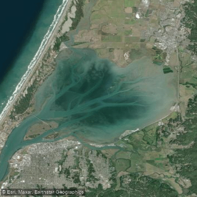
Arcata Bay

Klamath River
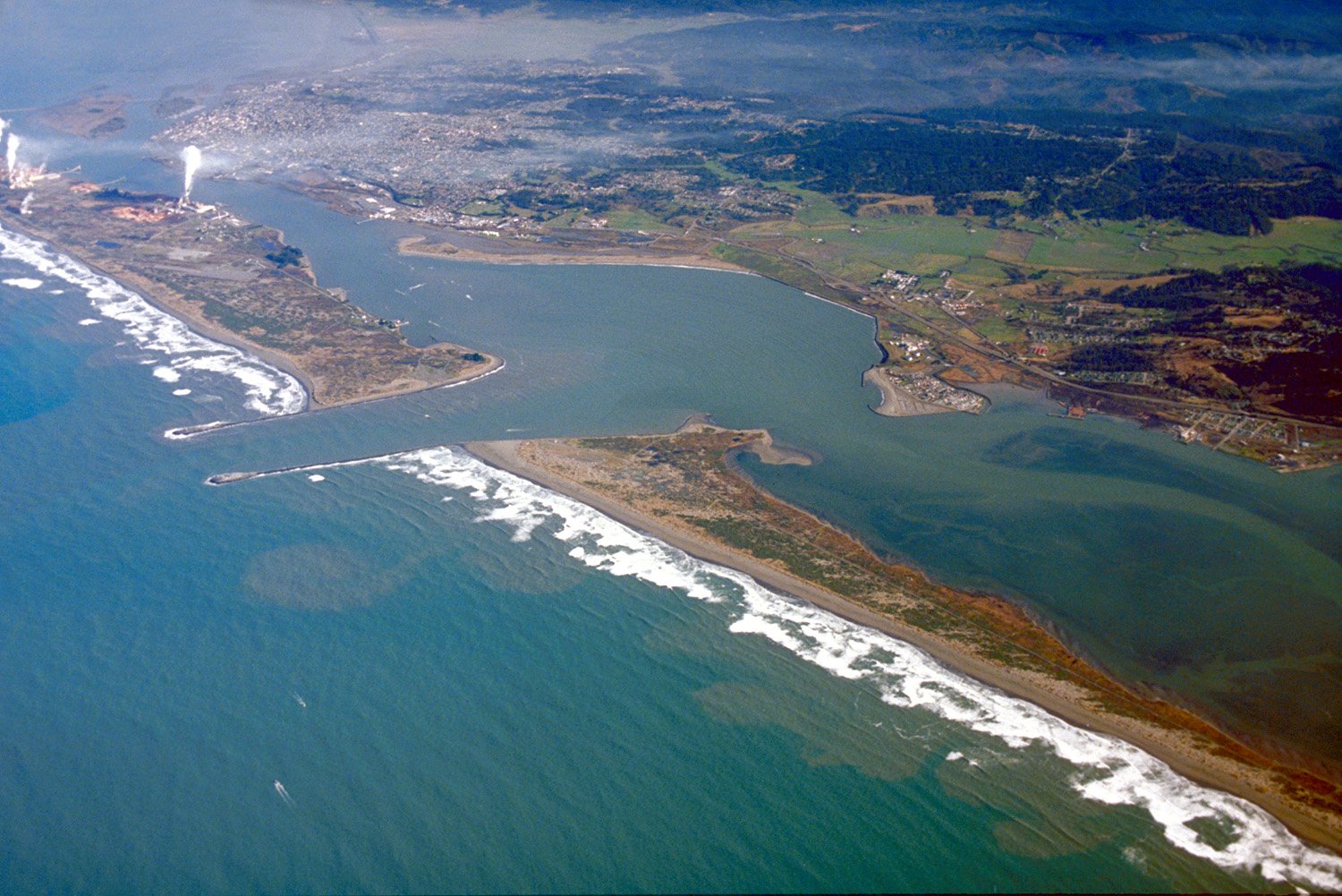
Humboldt Bay
Mad River
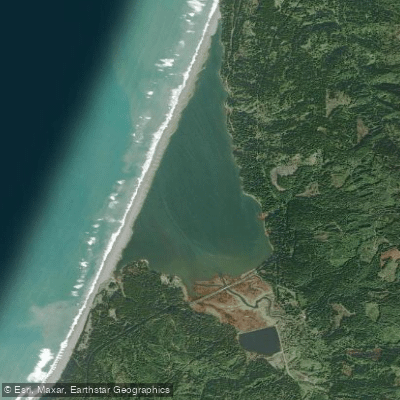
Big Lagoon
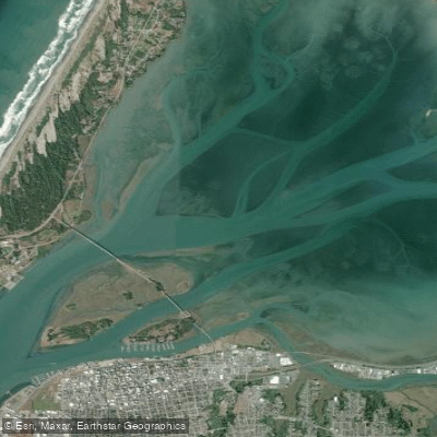
Arcata Channel
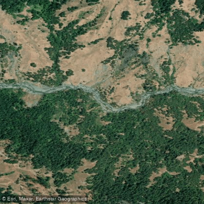
Van Duzen River
Explore California waters
Top paddling waters
Popular Cities
Loading popular cities...
Explore near South Fork Eel River
Access points
- Benbow Lake State Recreation Area Boat Ramp
- Elkhorn Ridge Wilderness Access
- Benbow Drive and South Fork Eel River Bridge
- South Fork Eel River Bridge
- South Fork Eel River Bridge
- South Fork Eel River Bridge
- South Fork Eel River Bridge
- South Fork Eel River Bridge
- Sr 254 South Fork Eel Rv Bridge
- South Fork Eel River Bridge
- South Fork Eel River Bridge
- South Fork Eel River Bridge
- All 90 spots
Nearby waters
More in California

Smarter Paddling Starts in the App.
Paddleways gives you everything you need to plan smarter, paddle better, and own every trip from first launch to takeout.