Humboldt Bay
- Saltwater
- Bay
Humboldt Bay
- Saltwater
- Bay
- Sq. miles
- 10
- Boat Ramps
- 2
- Access Points
- 1
- Campsites
- 0
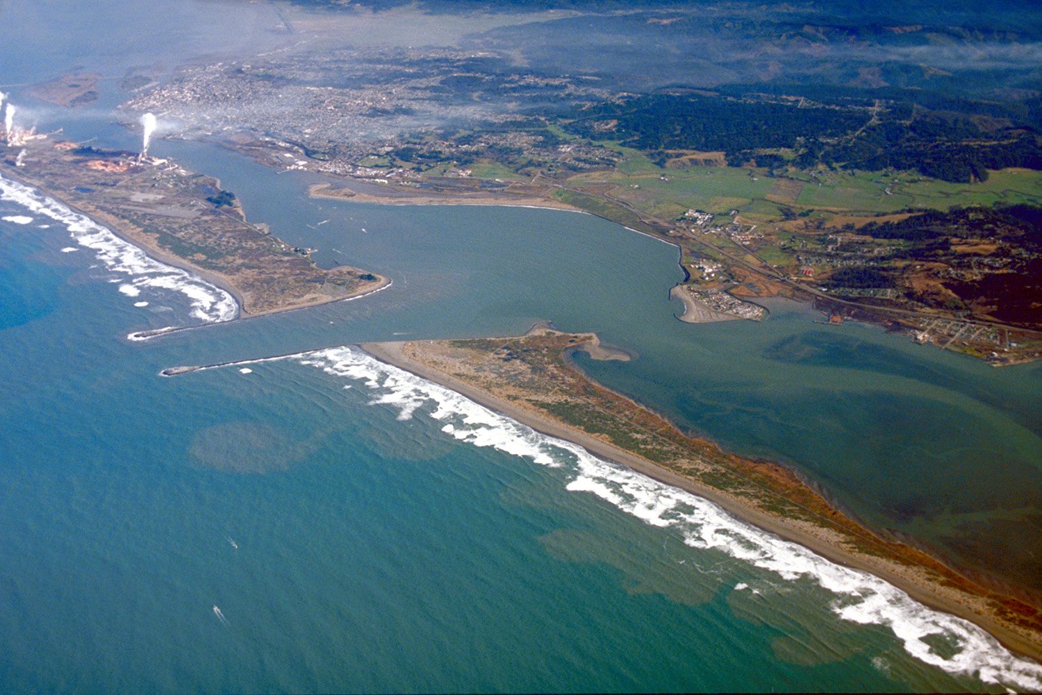
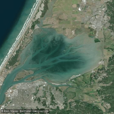
Humboldt Bay is a large, tidally influenced bay on California's North Coast, the largest bay between Coos Bay and San Francisco Bay. Its geography includes Arcata Bay to the north, the main bay between Eureka and Fields Landing, and the South Bay to the south. While expansive on a map, large areas consist of exposed mud flats and eel grass beds at low tide, making tidal planning essential. The bay is a working waterway with deep-water channels used by large ocean-going vessels and fishing boats, requiring paddlers to be vigilant of commercial traffic. The entrance to the bay from the Pacific Ocean is known for a dangerous breaking bar, a hazard strictly for ocean-going vessels and not a concern for typical bay paddlers. For kayakers, canoeists, and stand-up paddleboarders, the bay offers protected, beginner-friendly conditions ideal for exploring its intricate shoreline and interior sloughs.
Access points are numerous. Key launches include the dockside rental facility at Woodley Island Marina in Eureka, the Humboldt Bay Aquatic Center dock, the Hookton Slough Unit boat ramp (non-motorized only), the Mad River Slough Boat Ramp in Manila, the Hookton Rd. Boat Ramp, and public launches at Fields Landing, Arcata Marsh & Wildlife Sanctuary, and Samoa County Park. An interactive digital water trail map is available to help navigate these routes and channel depths. Tides are a dominant force, with the bay exchanging up to 60% of its water every roughly 13-hour tidal cycle, creating strong currents in the main channels. Paddlers must consult a tide book and plan trips to work with these currents, avoiding being stranded on vast mudflats. Wind and weather can change rapidly, impacting conditions on the more open parts of the bay.
The bay's environment is rich with wildlife, as large sections fall within the Humboldt Bay National Wildlife Refuge. Paddlers commonly see harbor seals, herons, egrets, shorebirds, and waterfowl. Notable sights include the egret rookery on Tuluwat (Indian) Island and the tranquil, bird-rich Mad River and Hookton sloughs. The surrounding area has historical significance, with Eureka featuring many Victorian homes. Water temperatures are typical for the Northern California coast, and rentals often include wetsuits due to the cool, marine environment. Several local outfitters provide guided tours, equipment rentals, and safety orientations, catering to all skill levels from first-timers to experienced paddlers seeking to explore the network of waterways.
Water access, boat ramps & amenities
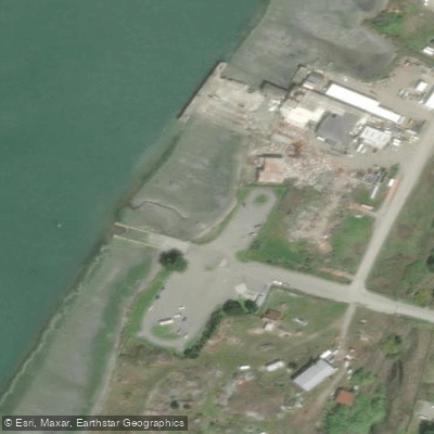
Learn how to get on Humboldt Bay. Uncover great paddling access points, boat ramps, and all the facilities you need for an unforgettable day on the water. Some locations shown may border or include private property. Always check property boundaries and applicable regulations before visiting. PaddleWays's Public & Private Land layer can help you plan your access with confidence.
Paddle smarter with real-time insights
Whether you're en route and conditions shift or you're looking for the best spot based on current flows, we enable you to make informed decisions on the fly.








Find Places to Paddle

Over 400,000 Places to Paddle
Every user gets free access to launch points, boat ramps, and public property parcels.


Tides, wind & water conditions (10 day forecast)
On open water, wind and tide matter as much as the weather. See the best times to paddle Humboldt Bay and check the marine forecast before you launch.
Loading tide predictions…
Paddling near Humboldt Bay
Eel River
Trinity River
Arcata Bay

Klamath River
South Fork Eel River
Mad River
Big Lagoon
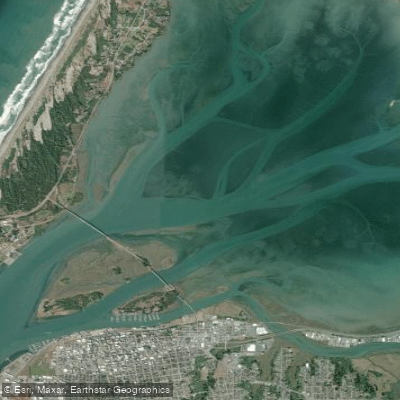
Arcata Channel
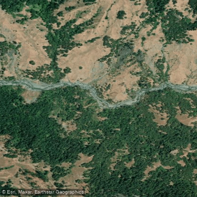
Van Duzen River
Explore California waters
Top paddling waters
Popular Cities
Loading popular cities...
Explore near Humboldt Bay
Access points
Nearby waters
More in California

Smarter Paddling Starts in the App.
Paddleways gives you everything you need to plan smarter, paddle better, and own every trip from first launch to takeout.