Van Duzen River
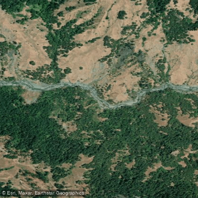
Van Duzen River
- Boat Ramps
- 2
- Access Points
- 2
- Campsites
- 10
The Van Duzen River is a major tributary of the Eel River in Northern California, flowing approximately 75 miles from its headwaters in the Coast Range to its confluence with the Eel near Fortuna. The river originates near Hettenshaw Valley and flows generally northwest through Trinity and Humboldt counties, draining a watershed of about 429 square miles. The Van Duzen offers a variety of paddling opportunities, from challenging whitewater in its upper reaches to more moderate runs downstream.
The river is divided into several distinct sections: 1. The upper Bloody Run section near Dinsmore is a remote and extremely difficult Class V run attempted only by expert paddlers. This 15-mile stretch includes the notorious Goat Rock rapids. 2. The Forks to Dinsmore run is a scenic 25-mile Class III-IV journey through canyons and valleys. 3. The popular Grizzly Creek Run from Grizzly Creek Redwoods State Park to Highway 36 Bridge offers 5.2 miles of Class II-III whitewater suitable for intermediate paddlers. 4. Below Highway 36, the river mellows to Class II as it approaches its confluence with the Eel.
The Van Duzen is primarily a spring and early summer run, with optimal flows typically occurring from March through June. The river is surrounded by impressive stands of coast redwoods, particularly in Grizzly Creek Redwoods State Park. Wildlife includes black bears, river otters, and various bird species. Key landmarks include the towering sandstone cliffs along the Grizzly Creek section, Goat Rock Falls, and the historic Strong's Station area.
Primary access points are located at Grizzly Creek Redwoods State Park, Highway 36 Bridge, and various points along Van Duzen Road. The nearest towns are Bridgeville and Carlotta. The river holds cultural significance for local Native American tribes and played a role in early logging operations. Today, it's valued for recreation and as a Wild and Scenic River.
Paddlers should be aware of strainers, cold water, and remote stretches with limited access. Multi-day trips are possible on the upper sections, but require careful planning and advanced skills. The Van Duzen River offers a quintessential Northern California paddling experience, combining challenging whitewater, serene forests, and a rich natural history.
Water access, boat ramps & amenities
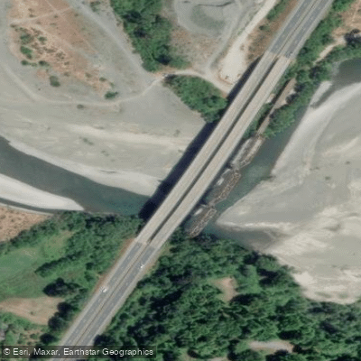
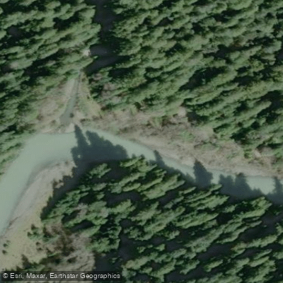
Learn how to get on Van Duzen River. Uncover great paddling access points, boat ramps, and all the facilities you need for an unforgettable day on the water. Some locations shown may border or include private property. Always check property boundaries and applicable regulations before visiting. PaddleWays's Public & Private Land layer can help you plan your access with confidence.
Paddle smarter with real-time insights
Whether you're en route and conditions shift or you're looking for the best spot based on current flows, we enable you to make informed decisions on the fly.








Find Places to Paddle

Over 400,000 Places to Paddle
Every user gets free access to launch points, boat ramps, and public property parcels.


Water and weather conditions (10 day forecast)
See the best times to paddle Van Duzen River and check the forecast before you go.
VAN DUZEN R NR BRIDGEVILLE CA
Paddling near Van Duzen River
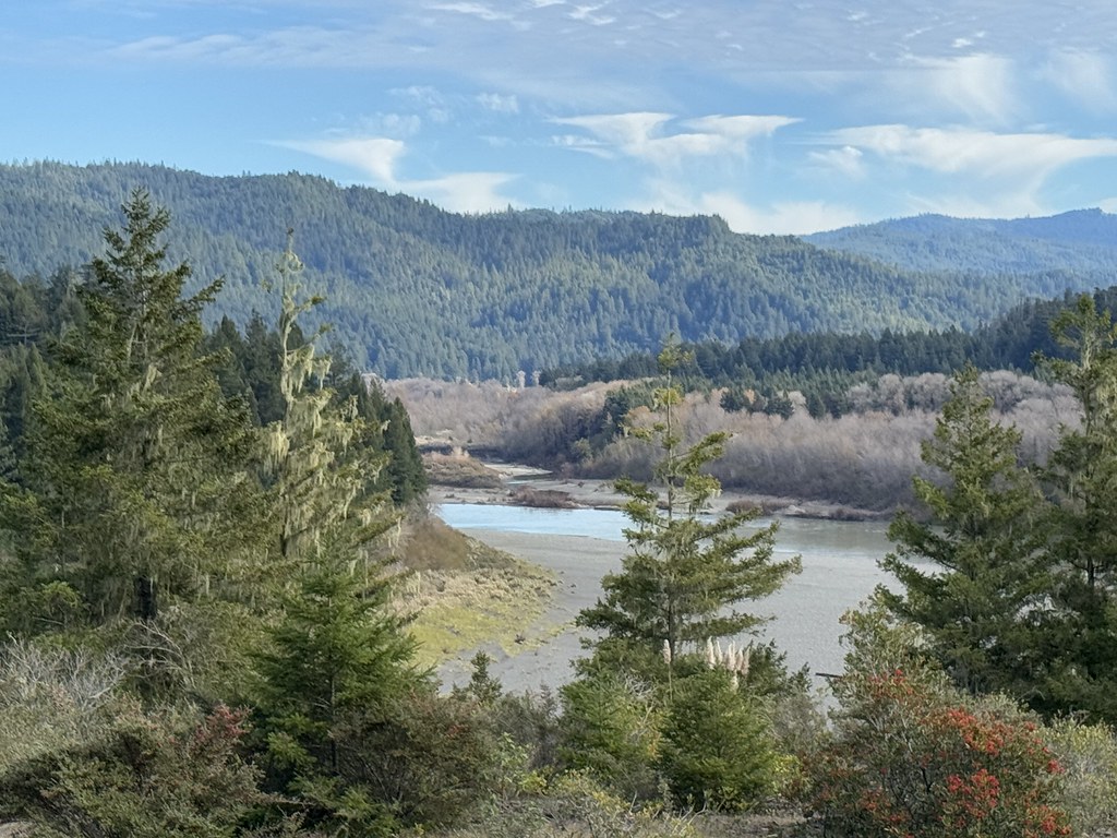
Eel River
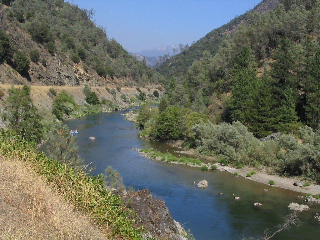
Trinity River
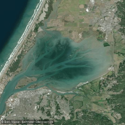
Arcata Bay

Klamath River
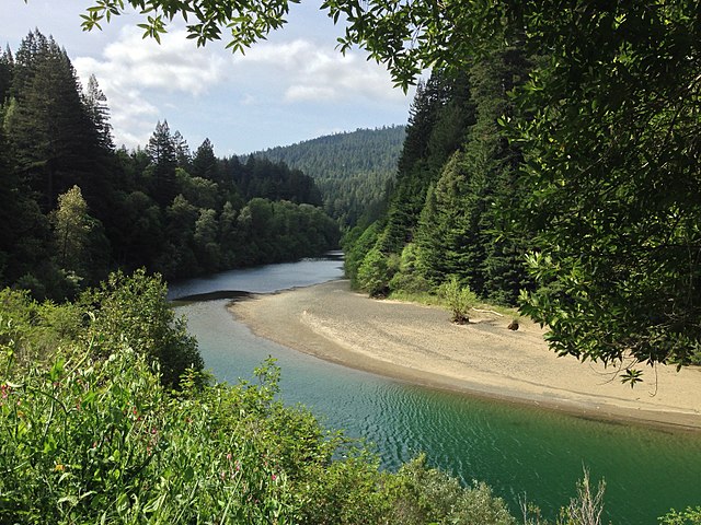
South Fork Eel River
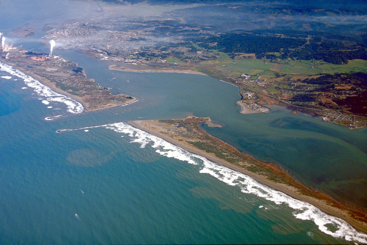
Humboldt Bay
Mad River
Big Lagoon
Arcata Channel
Explore California waters
Top paddling waters
Popular Cities
Loading popular cities...
Explore near Van Duzen River
Access points
- Van Duzen River Bridge Take-Out Boat Ramp
- Grizzly Creek Redwoods State Park Boat Ramp
- Van Duzen River Bridge
- Little Golden Gate Bridge
- Van Duzen River Bridge
- Van Duzen River Bridge
- Van Duzen River Bridge
- Little Van Duzen River Bridge
- Lower Blackburn Grade Bridge
- Grizzly Creek Bridge
- Hely Creek Bridge
- Mad River Bridge
- All 47 spots
Nearby waters
More in California

Smarter Paddling Starts in the App.
Paddleways gives you everything you need to plan smarter, paddle better, and own every trip from first launch to takeout.