Big Break
- Saltwater
- Sea area
Big Break
- Saltwater
- Sea area
- Sq. miles
- 0.2
- Boat Ramps
- 0
- Access Points
- 0
- Campsites
- 0
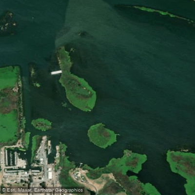
Big Break is a small bay or estuary located at the edge of the San Joaquin River within the Sacramento-San Joaquin River Delta near Oakley, California. This area is a tidal mixing zone where saltwater from the Pacific meets freshwater from the Sierra Nevada, creating an estuarine environment. The primary launch for paddlers is the Big Break Regional Shoreline. Access is via a paved, level path leading approximately a quarter-mile from a large public parking lot to a small, sheltered beach launch. The park provides free wheeled kayak carts from the Visitor Center to transport boats. A critical safety consideration is the significant tidal influence. The launch beach can become a broad expanse of deep, sticky mud at low tide, creating a serious hazard where individuals can become stuck. Paddlers must consult tide tables and plan their launch and return to coincide with mid-to-high tide stages to avoid this danger. The park offers naturalist-led kayak programs and has restrooms near the parking lot and launch site. The surrounding landscape features tidal sloughs, freshwater marshes, and riparian areas, supporting a diverse array of wildlife including great blue herons, egrets, river otters, and Western pond turtles. The area is known for exceptional bird watching. The water body itself is part of the vast Delta network, allowing for exploration of nearby islands and shorelines. Given its location on the Delta, paddlers should be prepared for wind exposure across open water and should anticipate potential boat traffic from the adjacent San Joaquin River channel.
Water access, boat ramps & amenities
Learn how to get on Big Break. Uncover great paddling access points, boat ramps, and all the facilities you need for an unforgettable day on the water. Some locations shown may border or include private property. Always check property boundaries and applicable regulations before visiting. PaddleWays's Public & Private Land layer can help you plan your access with confidence.
Paddle smarter with real-time insights
Whether you're en route and conditions shift or you're looking for the best spot based on current flows, we enable you to make informed decisions on the fly.








Find Places to Paddle

Over 400,000 Places to Paddle
Every user gets free access to launch points, boat ramps, and public property parcels.


Tides, wind & water conditions (10 day forecast)
On open water, wind and tide matter as much as the weather. See the best times to paddle Big Break and check the marine forecast before you launch.
Loading tide predictions…
Paddling near Big Break

San Joaquin River

Sacramento River
Broad Slough

Mokelumne River

Stanislaus River
Mildred Island

American River

Tuolumne River
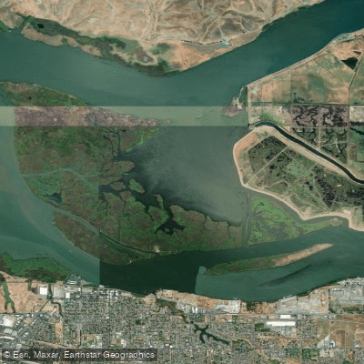
Sherman Lake
Explore California waters
Top paddling waters
Popular Cities
Loading popular cities...
Explore near Big Break
Access points
Nearby waters
More in California

Smarter Paddling Starts in the App.
Paddleways gives you everything you need to plan smarter, paddle better, and own every trip from first launch to takeout.