Mildred Island
- Saltwater
- Sea area
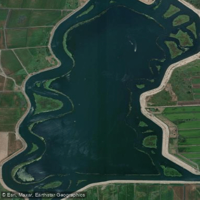
Mildred Island
- Saltwater
- Sea area
- Sq. miles
- 1.4
- Boat Ramps
- 0
- Access Points
- 0
- Campsites
- 0
Mildred Island is a large, flooded island in the California Delta, offering a unique paddling environment within a network of rivers and sloughs. The island itself is a submerged inland feature, created when its levees failed in 1983, and now forms a broad, shallow inland anchorage popular with recreational powerboats, especially on summer weekends. Paddlers can access the area from several marinas, including Cruiser Haven Marina and Holland Riverside Marina, which serve as practical launch points for journeys to the island. A typical route involves paddling north from a launch on the outgoing tide, traveling along Middle River, and passing under the Bacon Island bridge to reach Mildred Island. The round-trip distance for such a journey can be around nine miles, with numerous smaller islands and sloughs branching off for further exploration.
The paddling experience is heavily influenced by wind, tides, and boat traffic. Winds are frequently present and can be strong, often blowing from the north, making it advisable to use the marsh-covered islands and the southern side of large bridges for wind protection. Tidal currents in the connecting rivers are a significant planning factor; paddlers must time their trips to avoid having the current turn against them on the return journey. The area within Mildred Island is generally calm, but a breeze can run through its center. The island's perimeter and interior are lined with submerged stumps, snags, and occasionally moving tree trunks, requiring careful navigation. Depths can vary suddenly, especially at the entrances to the island, which are marked by crumbling levees. During low tide, many beaches become available for landing around the island's edges.
The area is ecologically rich, with sightings of white pelicans, great blue herons, snow egrets, and turtles common. The Bacon Island bridge hosts a large colony of nesting swallows. However, water quality can be inconsistent; one account describes a slough with black, foul-smelling water during a low tide period. The overall aesthetic is of a vast, flat marshland with open water, tules, and remnants of orchards, now largely submerged. The vibe shifts with the seasons; on summer holiday weekends, the anchorage can host large, organized raft-ups with dozens of boats, while quieter periods offer more solitary exploration. Paddlers should be prepared for significant powerboat traffic, particularly on weekends, and should exercise caution when crossing main channels like Middle River.
Water access, boat ramps & amenities
Learn how to get on Mildred Island. Uncover great paddling access points, boat ramps, and all the facilities you need for an unforgettable day on the water. Some locations shown may border or include private property. Always check property boundaries and applicable regulations before visiting. PaddleWays's Public & Private Land layer can help you plan your access with confidence.
Paddle smarter with real-time insights
Whether you're en route and conditions shift or you're looking for the best spot based on current flows, we enable you to make informed decisions on the fly.








Find Places to Paddle

Over 400,000 Places to Paddle
Every user gets free access to launch points, boat ramps, and public property parcels.


Tides, wind & water conditions (10 day forecast)
On open water, wind and tide matter as much as the weather. See the best times to paddle Mildred Island and check the marine forecast before you launch.
Loading tide predictions…
Paddling near Mildred Island

San Joaquin River

Sacramento River
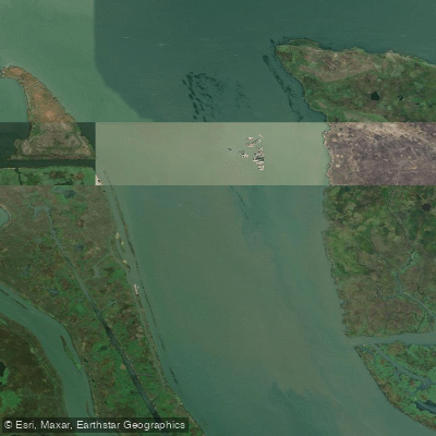
Broad Slough

Mokelumne River

Stanislaus River

American River

Tuolumne River
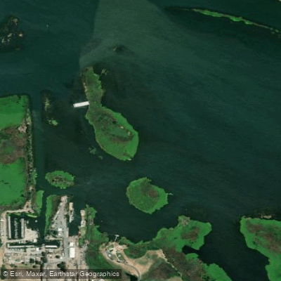
Big Break
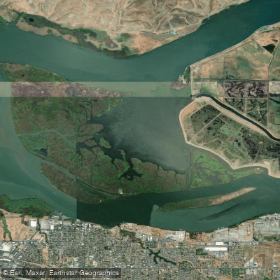
Sherman Lake
Explore California waters
Top paddling waters
Popular Cities
Loading popular cities...
Explore near Mildred Island

Smarter Paddling Starts in the App.
Paddleways gives you everything you need to plan smarter, paddle better, and own every trip from first launch to takeout.