Sherman Lake
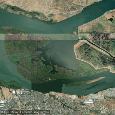
Sherman Lake
- Boat Ramps
- 1
- Access Points
- 1
- Campsites
- 0
Sherman Island, located in California, is an internationally renowned windsurfing destination that also offers opportunities for paddling. The island is surrounded on three sides by the Sacramento River and Mayberry Slough, with the river running wide and slow in this area. Strong Delta breezes blow across the tree-lined island, creating ideal conditions for windsurfing and kiteboarding.
Paddlers can access Sherman Island via a public boat launch within the park. The park is open year-round from sunrise to sunset, with parking fees collected throughout the year. Self-payment is required if no fee collector is present.
While primarily known for windsurfing, the calm river waters provide suitable conditions for kayaking and canoeing as well. Paddlers should be aware of potential hazards from windsurfers and kiteboarders sharing the water. The strong winds that make the area popular for these sports may also present challenges for paddlers, particularly in the afternoons when winds tend to be strongest.
Wildlife viewing opportunities abound, with bald eagles and ospreys frequently spotted in the area. The park offers picnic facilities for day use. Overnight camping is allowed with some restrictions, including a 14-day maximum stay within a 30-day period.
Sherman Island's unique geography at the confluence of the Sacramento and San Joaquin Rivers creates a diverse ecosystem. Paddlers can explore the island's extensive shoreline, which stretches over 365 miles. The area's natural beauty and proximity to water make it a popular spot for photographers as well.
Paddlers should note that powerboats also use the surrounding waters, so caution is advised. As with any water activity, checking current conditions and being aware of weather forecasts is essential for a safe paddling experience on Sherman Island.
Water access, boat ramps & amenities
Learn how to get on Sherman Lake. Uncover great paddling access points, boat ramps, and all the facilities you need for an unforgettable day on the water. Some locations shown may border or include private property. Always check property boundaries and applicable regulations before visiting. PaddleWays's Public & Private Land layer can help you plan your access with confidence.
Paddle smarter with real-time insights
Whether you're en route and conditions shift or you're looking for the best spot based on current flows, we enable you to make informed decisions on the fly.








Find Places to Paddle

Over 400,000 Places to Paddle
Every user gets free access to launch points, boat ramps, and public property parcels.


Water and weather conditions (10 day forecast)
See the best times to paddle Sherman Lake and check the forecast before you go.
No forecast data available.
Paddling near Sherman Lake

San Joaquin River

Sacramento River
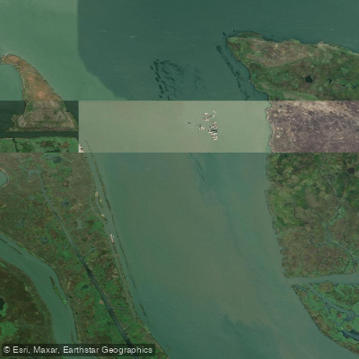
Broad Slough

Mokelumne River

Stanislaus River
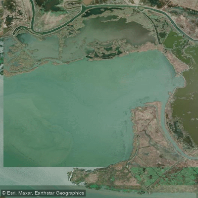
Honker Bay

American River

Tuolumne River

San Pablo Bay
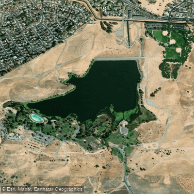
Contra Loma Reservoir
Explore California waters
Top paddling waters
Popular Cities
Loading popular cities...
Explore near Sherman Lake
Access points
- Lower Sherman Island Boat Ramp
- Contra Costa Canal Bridge
- Contra Costa Canal Bridge
- Contra Costa Canal Bridge
- Contra Costa Canal Bridge
- Contra Costa Canal Bridge
- Contra Costa Canal Bridge
- Contra Costa Canal Bridge
- Contra Costa Canal Bridge
- Contra Costa Canal Bridge
- Contra Costa Canal Bridge
- Contra Costa Canal Bridge
- All 18 spots
Nearby waters
More in California

Smarter Paddling Starts in the App.
Paddleways gives you everything you need to plan smarter, paddle better, and own every trip from first launch to takeout.