Bucks Creek
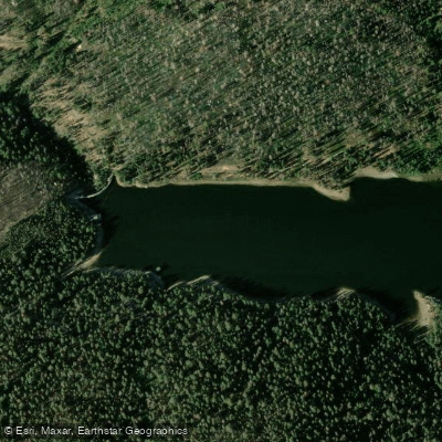
Bucks Creek
- Boat Ramps
- 0
- Access Points
- 0
- Campsites
- 9
Bucks Creek is a picturesque mountain stream located in the Plumas National Forest of Northern California. Originating high in the Sierra Nevada mountains, this creek flows westward for approximately 15 miles before emptying into Bucks Lake, a scenic reservoir nestled among towering pines and granite outcroppings. While Bucks Creek itself offers limited paddling opportunities due to its small size and swift current, it plays a crucial role in the local watershed and recreation ecosystem. The creek and its two main tributaries, Mill Creek and Haskins Creek, feed into Bucks Lake, providing a steady water source for this popular alpine destination.
Bucks Lake serves as the primary paddling venue in the area, offering calm waters ideal for kayaking, canoeing, and stand-up paddleboarding. The lake's expansive 1,827 surface acres provide ample room for water activities, with numerous coves and inlets to explore. Paddlers of all skill levels can enjoy the lake, though winds can occasionally create choppy conditions in the afternoons.
The best time to paddle Bucks Lake is from late spring through early fall when the mountain weather is most favorable. Summer temperatures typically range from the 60s to 80s Fahrenheit, creating perfect conditions for water recreation.
Wildlife enthusiasts will appreciate the diverse fauna in the area, including bald eagles, osprey, deer, and black bears. The surrounding forest boasts impressive stands of Jeffrey and ponderosa pines, as well as vibrant wildflower displays in spring and early summer.
Key landmarks include the Bucks Lake Marina, which offers boat rentals and supplies, and the Bucks Creek Loop Trail, a scenic 4-mile hiking path that provides excellent views of the lake and surrounding mountains.
Primary access to Bucks Lake is via Bucks Lake Road, approximately 17 miles from the town of Quincy. Several campgrounds dot the lakeshore, including Sundew, Hutchins Group, and Whitehorse, offering opportunities for multi-day paddling adventures.
The area holds historical significance as part of the traditional lands of the Maidu people and later played a role in California's logging industry. Today, it serves as a vital recreational resource, managed by the U.S. Forest Service to balance conservation with public access.
Paddlers should be aware of potential afternoon winds and changing mountain weather conditions. All boaters are required to follow California state boating regulations, including carrying appropriate safety equipment.
For those seeking a serene mountain paddling experience surrounded by stunning Sierra scenery, Bucks Lake and the Bucks Creek watershed offer an unforgettable destination in the heart of Plumas National Forest.
Water access, boat ramps & amenities
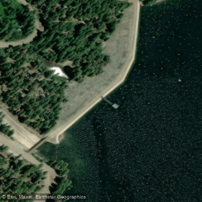
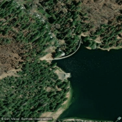
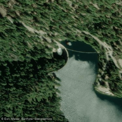
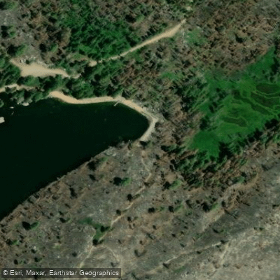
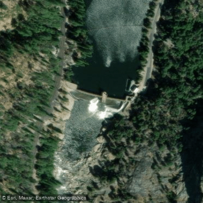
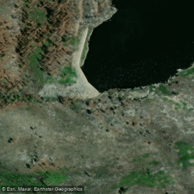
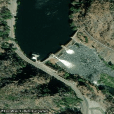
Learn how to get on Bucks Creek. Uncover great paddling access points, boat ramps, and all the facilities you need for an unforgettable day on the water. Some locations shown may border or include private property. Always check property boundaries and applicable regulations before visiting. PaddleWays's Public & Private Land layer can help you plan your access with confidence.
Paddle smarter with real-time insights
Whether you're en route and conditions shift or you're looking for the best spot based on current flows, we enable you to make informed decisions on the fly.








Find Places to Paddle

Over 400,000 Places to Paddle
Every user gets free access to launch points, boat ramps, and public property parcels.


Water and weather conditions (10 day forecast)
See the best times to paddle Bucks Creek and check the forecast before you go.
No forecast data available.
Paddling near Bucks Creek
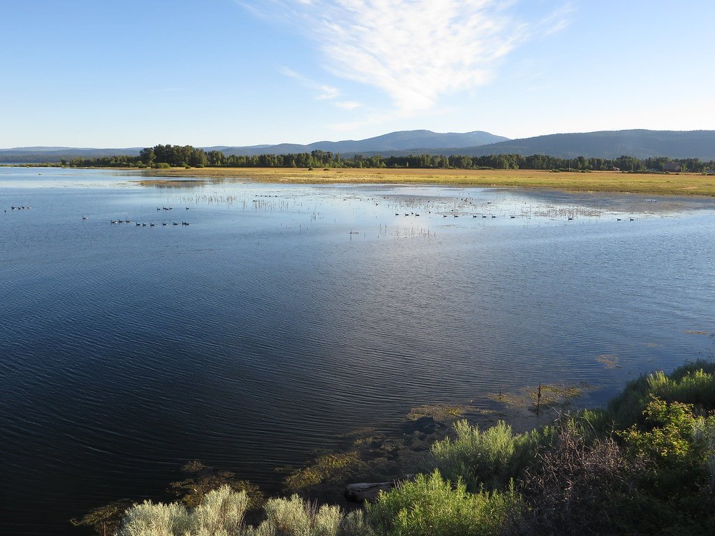
Lake Almanor
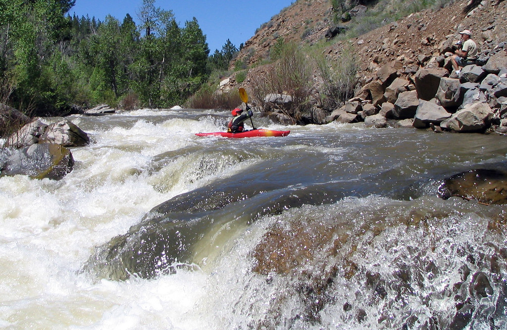
Susan River
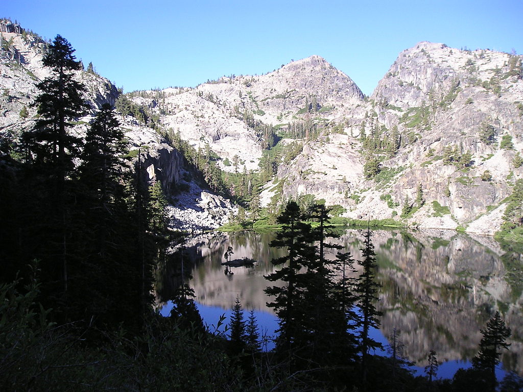
Eagle Lake

Sacramento River
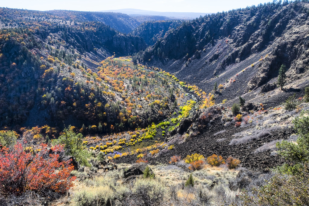
Pit River
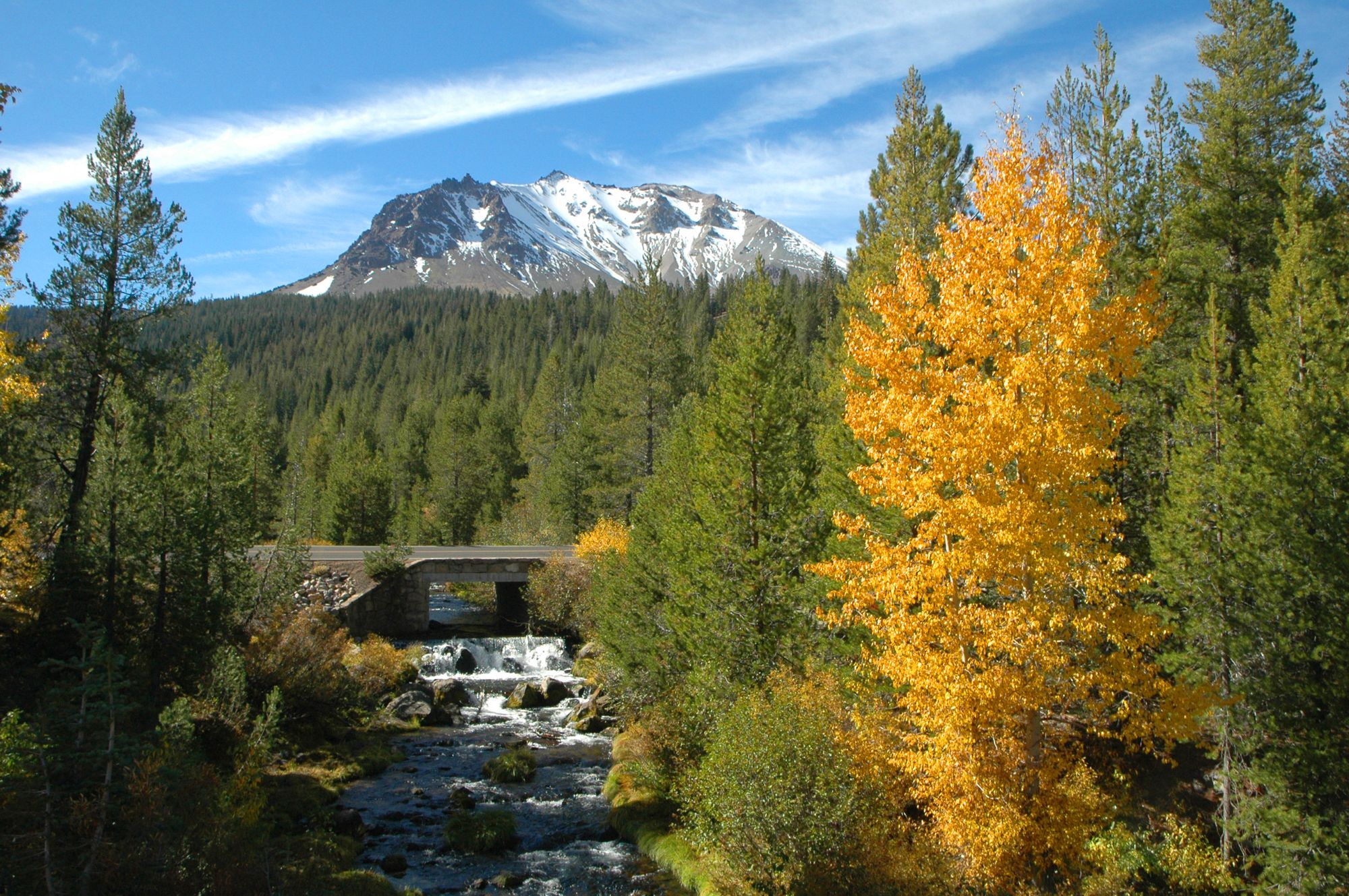
Hat Creek
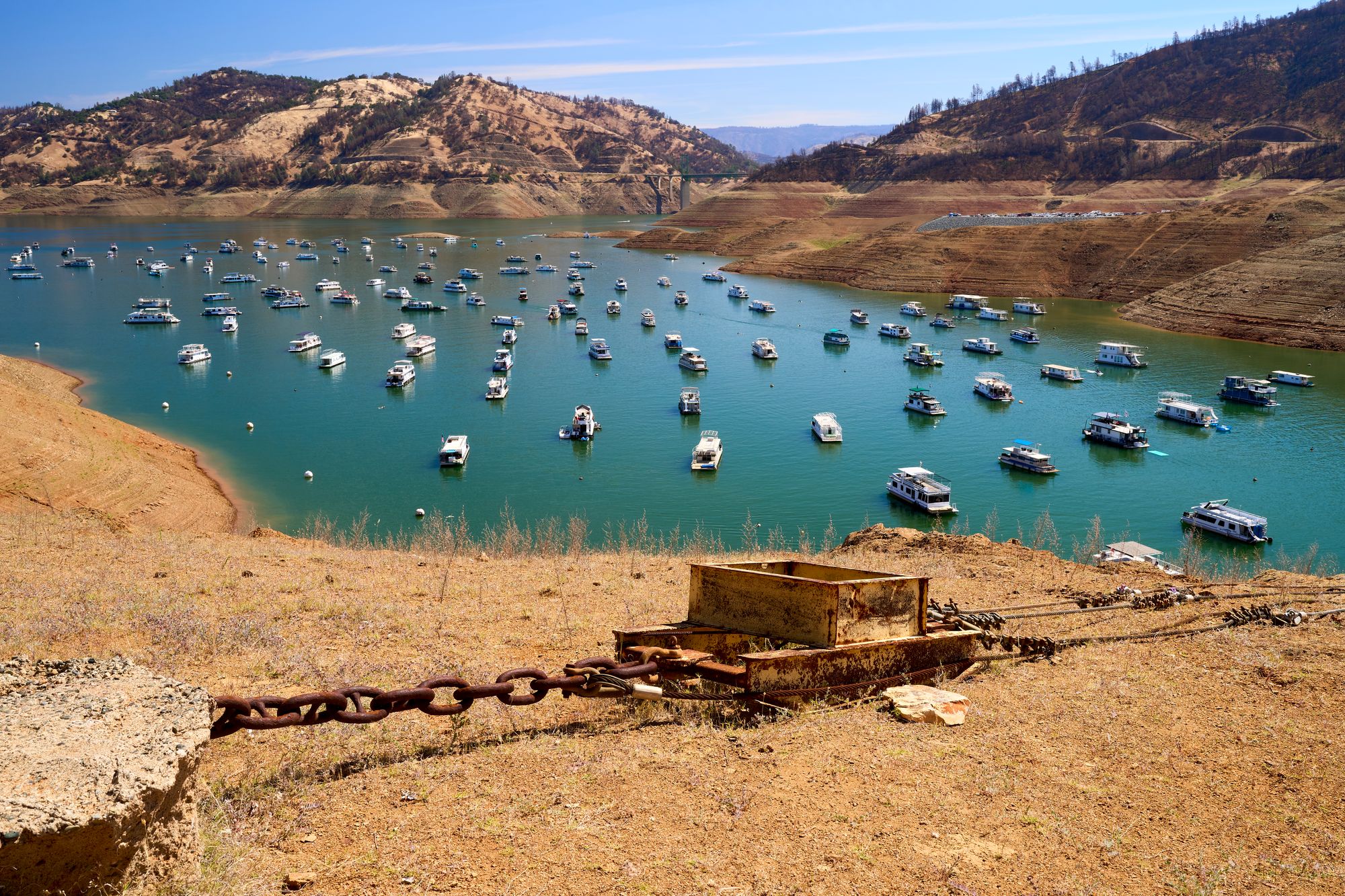
Lake Oroville
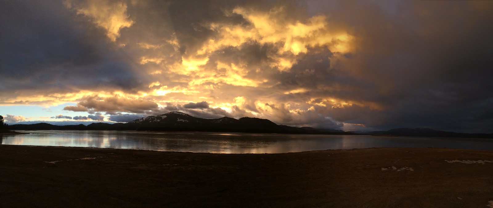
Lake Davis
North Fork Feather River
Explore California waters
Top paddling waters
Popular Cities
Loading popular cities...
Explore near Bucks Creek
Access points
Nearby waters
More in California

Smarter Paddling Starts in the App.
Paddleways gives you everything you need to plan smarter, paddle better, and own every trip from first launch to takeout.