Calaveras Reservoir
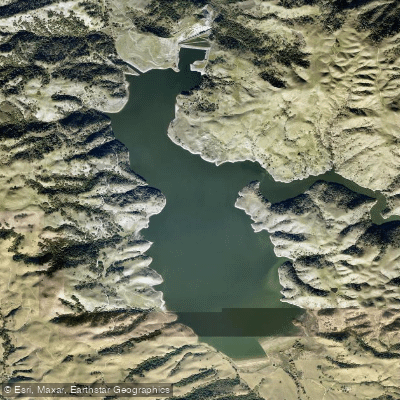
Calaveras Reservoir
- Boat Ramps
- 0
- Access Points
- 0
- Campsites
- 13
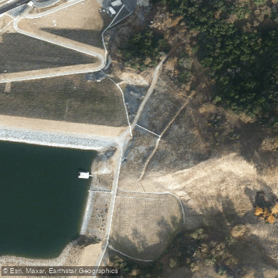
Calaveras Reservoir is located in California and serves as the take-out point for paddlers running the Arroyo Hondo creek. However, boating on the reservoir itself is officially forbidden. The reservoir features a boat ramp near a lighted building, accessible via a dirt road west of the dam. This ramp could potentially serve as a take-out point, though paddlers should be aware of the restrictions.
The area surrounding Calaveras Reservoir is known for its deep gorge, which is visible from airplanes. The reservoir's arm begins approximately 13.4 miles downstream from the Arroyo Hondo put-in point. The main portion of the reservoir starts around mile 15 of the creek run.
Access to the reservoir is challenging. There are no legal parking spots observed near the reservoir. Cell phone signals are not available on or near the reservoir. Due to these access issues and the official prohibition on boating, paddlers considering this area should exercise extreme caution and thoroughly research current regulations before planning any trips.
For those running Arroyo Hondo creek, which feeds into the reservoir, the area presents significant hazards including willow mazes, undercut rocks, and logjams. The creek run is long and demanding, requiring an early start. The window of opportunity for suitable water levels is very short, with flows rising and dropping quickly.
Given the official restrictions on boating and the numerous challenges presented, Calaveras Reservoir is not recommended for recreational paddling. Potential visitors should seek alternative paddling destinations that offer legal access and fewer safety concerns.
Water access, boat ramps & amenities
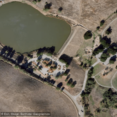
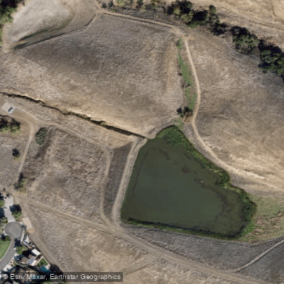
Learn how to get on Calaveras Reservoir. Uncover great paddling access points, boat ramps, and all the facilities you need for an unforgettable day on the water. Some locations shown may border or include private property. Always check property boundaries and applicable regulations before visiting. PaddleWays's Public & Private Land layer can help you plan your access with confidence.
Paddle smarter with real-time insights
Whether you're en route and conditions shift or you're looking for the best spot based on current flows, we enable you to make informed decisions on the fly.








Find Places to Paddle

Over 400,000 Places to Paddle
Every user gets free access to launch points, boat ramps, and public property parcels.


Water and weather conditions (10 day forecast)
See the best times to paddle Calaveras Reservoir and check the forecast before you go.
No forecast data available.
Paddling near Calaveras Reservoir

San Joaquin River

Sacramento River

San Francisco Bay

Stanislaus River

Tuolumne River
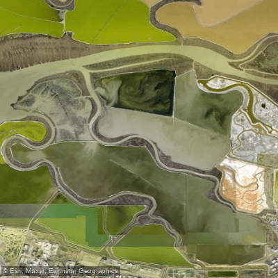
Alviso Slough

Mokelumne River
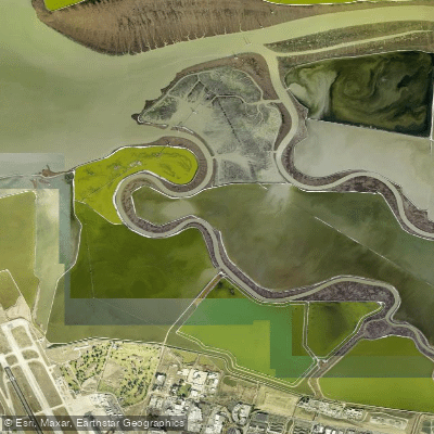
Guadalupe Slough
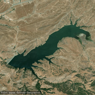
San Antonio Reservoir
Explore California waters
Top paddling waters
Popular Cities
Loading popular cities...
Explore near Calaveras Reservoir
Access points
Nearby waters
More in California

Smarter Paddling Starts in the App.
Paddleways gives you everything you need to plan smarter, paddle better, and own every trip from first launch to takeout.