Guadalupe Slough
- Saltwater
- Sea area
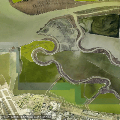
Guadalupe Slough
- Saltwater
- Sea area
- Sq. miles
- 0.2
- Boat Ramps
- 0
- Access Points
- 0
- Campsites
- 0
Guadalupe Slough is a tidal slough located in the South San Francisco Bay, within the Don Edwards San Francisco Bay National Wildlife Refuge. It is a saltwater feature directly connected to the bay, characterized by significant tidal influence with a range exceeding 11 feet, which can expose extensive mudflats during low tide. Paddlers must consult a current tide chart for Upper Guadalupe Slough before any trip, as navigating the slough at low tide is impractical and potentially hazardous due to these mudflats. The slough is bordered by managed ponds and levees, with public trail access along some levees. A primary access point for launching small craft like kayaks is from the Alviso Marina County Park area, which provides boat ramp facilities. The slough's waters are part of a major wildlife refuge, offering paddlers views of tidal marsh habitat and significant bird populations. Waterfowl hunting is permitted in adjacent ponds on specific days, primarily Wednesdays, Saturdays, and Sundays, which paddlers should be aware of for both safety and seasonal noise considerations. The overall paddling experience is defined by its open, marshy landscape and is heavily dependent on correct tidal timing. The slough is not recommended for power boating or for those unfamiliar with its channels due to the navigational challenges posed by the tides and mud.
Water access, boat ramps & amenities
Learn how to get on Guadalupe Slough. Uncover great paddling access points, boat ramps, and all the facilities you need for an unforgettable day on the water. Some locations shown may border or include private property. Always check property boundaries and applicable regulations before visiting. PaddleWays's Public & Private Land layer can help you plan your access with confidence.
Paddle smarter with real-time insights
Whether you're en route and conditions shift or you're looking for the best spot based on current flows, we enable you to make informed decisions on the fly.








Find Places to Paddle

Over 400,000 Places to Paddle
Every user gets free access to launch points, boat ramps, and public property parcels.


Tides, wind & water conditions (10 day forecast)
On open water, wind and tide matter as much as the weather. See the best times to paddle Guadalupe Slough and check the marine forecast before you launch.
Loading tide predictions…
Paddling near Guadalupe Slough

San Joaquin River

Sacramento River

San Francisco Bay

Stanislaus River

Tuolumne River
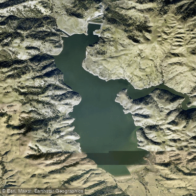
Calaveras Reservoir
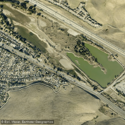
Coyote Creek
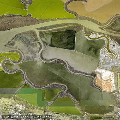
Alviso Slough
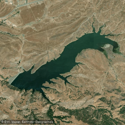
San Antonio Reservoir
Explore California waters
Top paddling waters
Popular Cities
Loading popular cities...
Explore near Guadalupe Slough
Access points
- Calabazas Creek Trail Bridge
- Guadalupe River Bridge
- San Tomas Aquino Creek Bridge
- San Tomas Aquino Creek Bridge
- San Tomas Aquino Creek Bridge
- San Tomas Aquino Creek Bridge
- San Tomas Aquino Creek Bridge
- Guadalupe River Bridge
- San Tomas Aquino Creek Bridge
- Permanente Creek Bridge
- Permanente Creek Bridge
- Calabazas Creek Bridge
- All 59 spots
Nearby waters
More in California

Smarter Paddling Starts in the App.
Paddleways gives you everything you need to plan smarter, paddle better, and own every trip from first launch to takeout.