Clear Lake
Clear Lake
- Boat Ramps
- 22
- Access Points
- 24
- Campsites
- 13
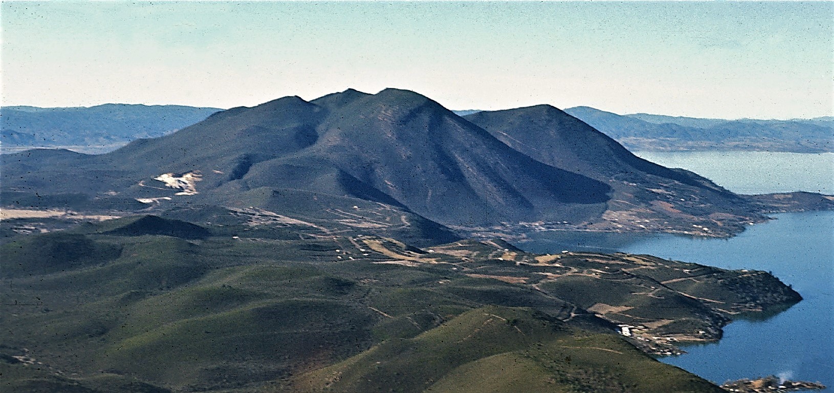
Clear Lake, California's largest freshwater lake, offers paddlers 44,000 acres of water to explore with 110 miles of shoreline. The lake features a network of seven water trails with 11 free public boat ramps, making it ideal for kayaking and canoeing. Popular routes include the 8-mile round trip Rodman Slough Water Trail at the north end, which is protected from strong winds and showcases diverse wildlife. The Soda Bay Trail, starting at Clear Lake State Park, allows paddlers to observe volcanic gases bubbling to the surface.
The lake is quite shallow, averaging 15 feet deep in the north and 25 feet in the south. Soda Bay contains vent holes over 100 feet deep where water temperatures can be 20 degrees warmer than the surrounding area. Paddlers should be aware of often-strong winds on the lake.
Clear Lake is renowned for its abundant wildlife, with over 300 bird species including western grebes, osprey, bald eagles, and white pelicans. Spring and early summer offer opportunities to witness the spectacular mating dance of western grebes. Paddlers are advised to stay at least 200 feet from nesting birds to avoid disturbance.
The lake provides excellent fishing opportunities, particularly for largemouth bass. Other activities like swimming and water-skiing are popular, so paddlers should be alert for motorized boat traffic.
Clear Lake State Park on the southwest shore offers camping, hiking trails, and wildlife viewing opportunities. The park's visitor center features displays on local natural and cultural history. Mount Konocti, a 4,300-foot dormant volcano, dominates the landscape and offers hiking opportunities with panoramic lake views.
Paddlers should be aware of quagga mussel prevention measures. While screening is not required for non-motorized vessels under 8 feet, it's important to clean, drain, and dry all equipment to prevent the spread of invasive species.
Water access, boat ramps & amenities
Learn how to get on Clear Lake. Uncover great paddling access points, boat ramps, and all the facilities you need for an unforgettable day on the water. Some locations shown may border or include private property. Always check property boundaries and applicable regulations before visiting. PaddleWays's Public & Private Land layer can help you plan your access with confidence.
Paddle smarter with real-time insights
Whether you're en route and conditions shift or you're looking for the best spot based on current flows, we enable you to make informed decisions on the fly.








Find Places to Paddle

Over 400,000 Places to Paddle
Every user gets free access to launch points, boat ramps, and public property parcels.


Water and weather conditions (10 day forecast)
See the best times to paddle Clear Lake and check the forecast before you go.
No forecast data available.
Paddling near Clear Lake
Russian River
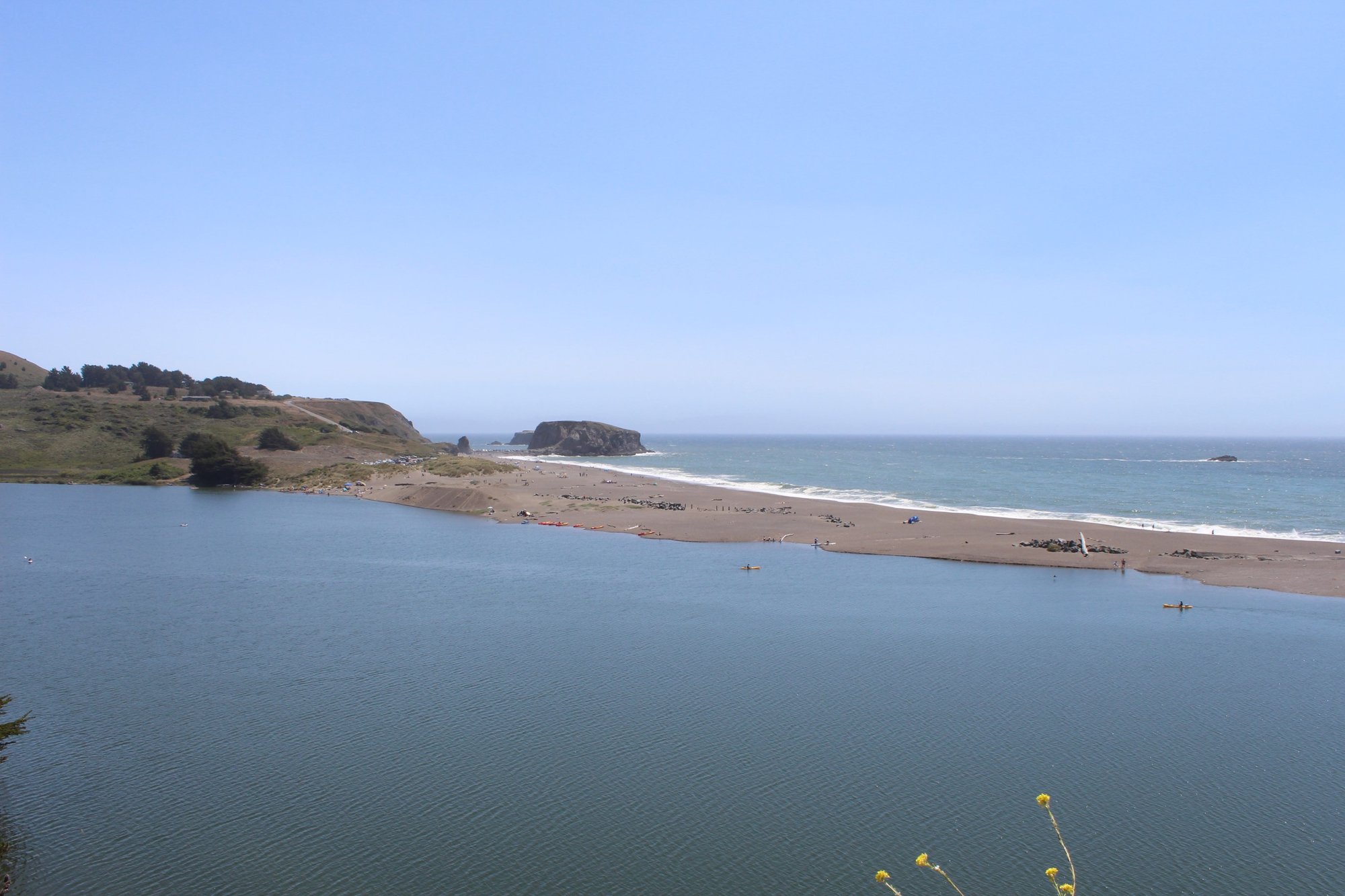
Bodega Bay
Lake Sonoma
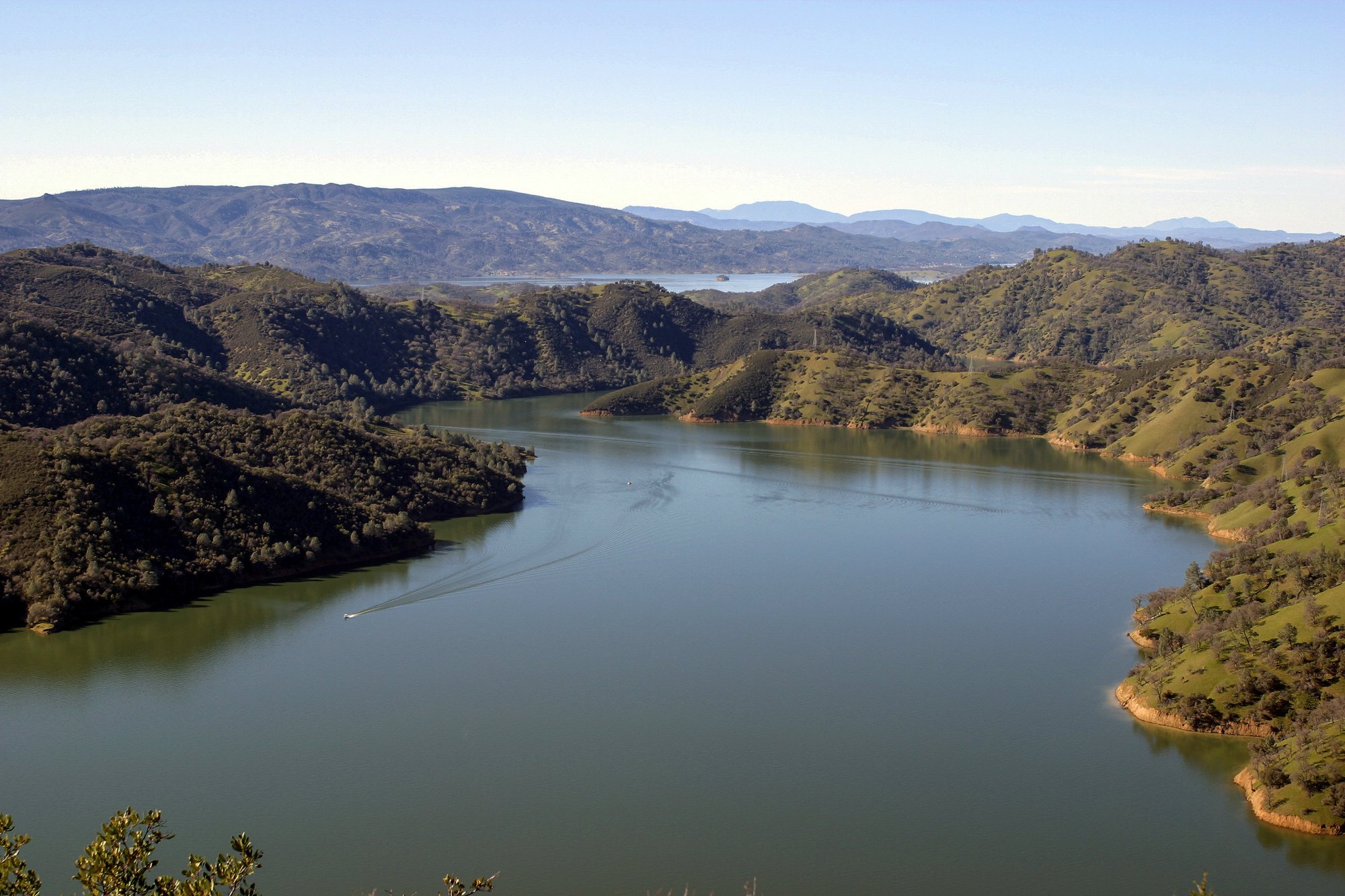
Lake Berryessa
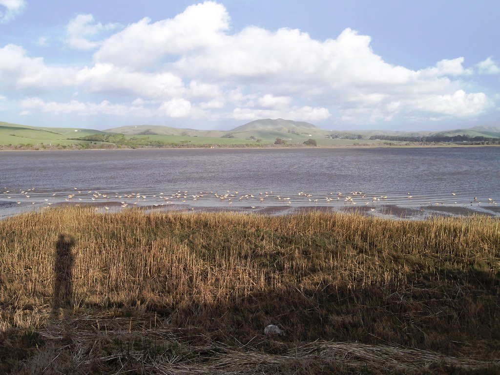
Tomales Bay
Mark West Creek
Napa River
Bodega Harbor
Putah Creek
Explore California waters
Top paddling waters
Popular Cities
Loading popular cities...
Explore near Clear Lake
Access points
- Clear Lake Vista Resort Boat Ramp
- Lakeland Resort Boat Ramp
- Lakewood Resort Boat Ramp
- Konocti Harbor Resort Boat Ramp
- Clear Lake State Park Boat Ramp
- Oaks Beach Park Boat Ramp
- Clearlake Oaks Boat Ramp
- Braito's Marina Boat Ramp
- Mike Thompson Harbor Boat Ramp
- Lucerne Harbor County Park Boat Ramp
- Funtime RV Park & Watersports Boat Ramp
- Lucerne Harbor County Park Boat Ramp
- All 76 spots
Nearby waters
More in California

Smarter Paddling Starts in the App.
Paddleways gives you everything you need to plan smarter, paddle better, and own every trip from first launch to takeout.