Bodega Harbor
- Saltwater
- Harbor
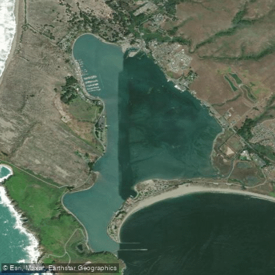
Bodega Harbor
- Saltwater
- Harbor
- Sq. miles
- 1.3
- Boat Ramps
- 5
- Access Points
- 5
- Campsites
- 6
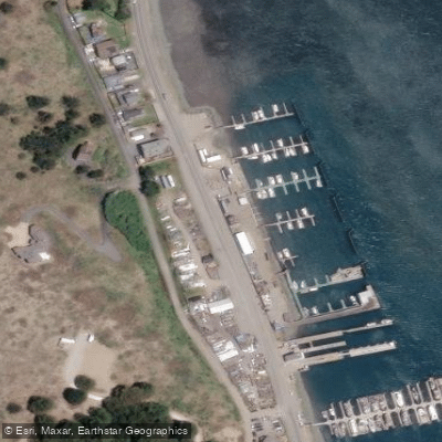
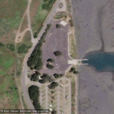
Bodega Harbor is a coastal harbor on the Pacific Ocean in Bodega Bay, California. Primary access for paddlers is via two developed Sonoma County Regional Parks. Doran Regional Park, on the harbor's southern shore, offers a launch for boats up to 20 feet and a separate wheelchair-accessible kayak launch. On the north side, Westside Regional Park features a recently expanded three-lane boat ramp and a dedicated wheelchair-accessible kayak launch, the first of its kind in the county. These launches are popular with recreational fishermen, which can lead to congestion, especially during crab and salmon season openings. Paddlers should exercise caution on the boat ramps, which can become very slippery with algae. The harbor is sheltered from the open ocean by a rock jetty at its mouth, which provides access for fishing and exploring sea life. Spud Point Marina, located on the harbor, is a major hub for commercial and sport fishing with no bar to transit when entering or exiting the harbor, indicating significant boat traffic. The area supports diverse wildlife; paddlers may observe night herons, pelicans, buffleheads, seals, and sea lions. Amenities at the parks typically include parking (often with a fee waived for park members), restrooms, picnic areas, fish cleaning stations, and boat rinsing facilities. The University of California, Davis Bodega Marine Laboratory is located nearby. The overall character is that of a working fishing harbor with adjacent sandy beaches and coastal parkland, offering a mix of wildlife viewing and shared use with motorized vessels.
Water access, boat ramps & amenities
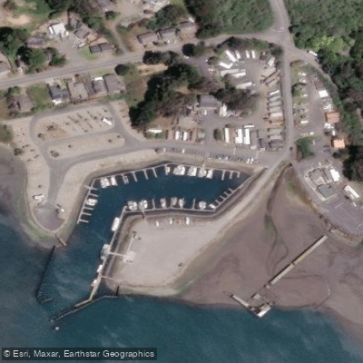
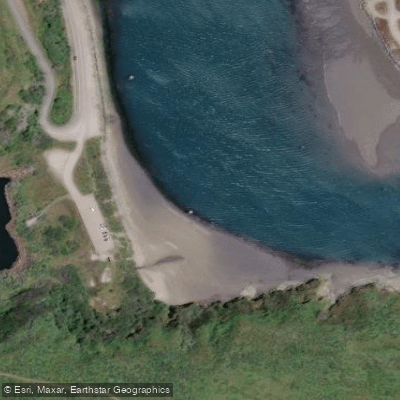
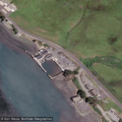
Learn how to get on Bodega Harbor. Uncover great paddling access points, boat ramps, and all the facilities you need for an unforgettable day on the water. Some locations shown may border or include private property. Always check property boundaries and applicable regulations before visiting. PaddleWays's Public & Private Land layer can help you plan your access with confidence.
Paddle smarter with real-time insights
Whether you're en route and conditions shift or you're looking for the best spot based on current flows, we enable you to make informed decisions on the fly.








Find Places to Paddle

Over 400,000 Places to Paddle
Every user gets free access to launch points, boat ramps, and public property parcels.


Tides, wind & water conditions (10 day forecast)
On open water, wind and tide matter as much as the weather. See the best times to paddle Bodega Harbor and check the marine forecast before you launch.
Loading tide predictions…
Paddling near Bodega Harbor
Russian River
Lagunitas Creek
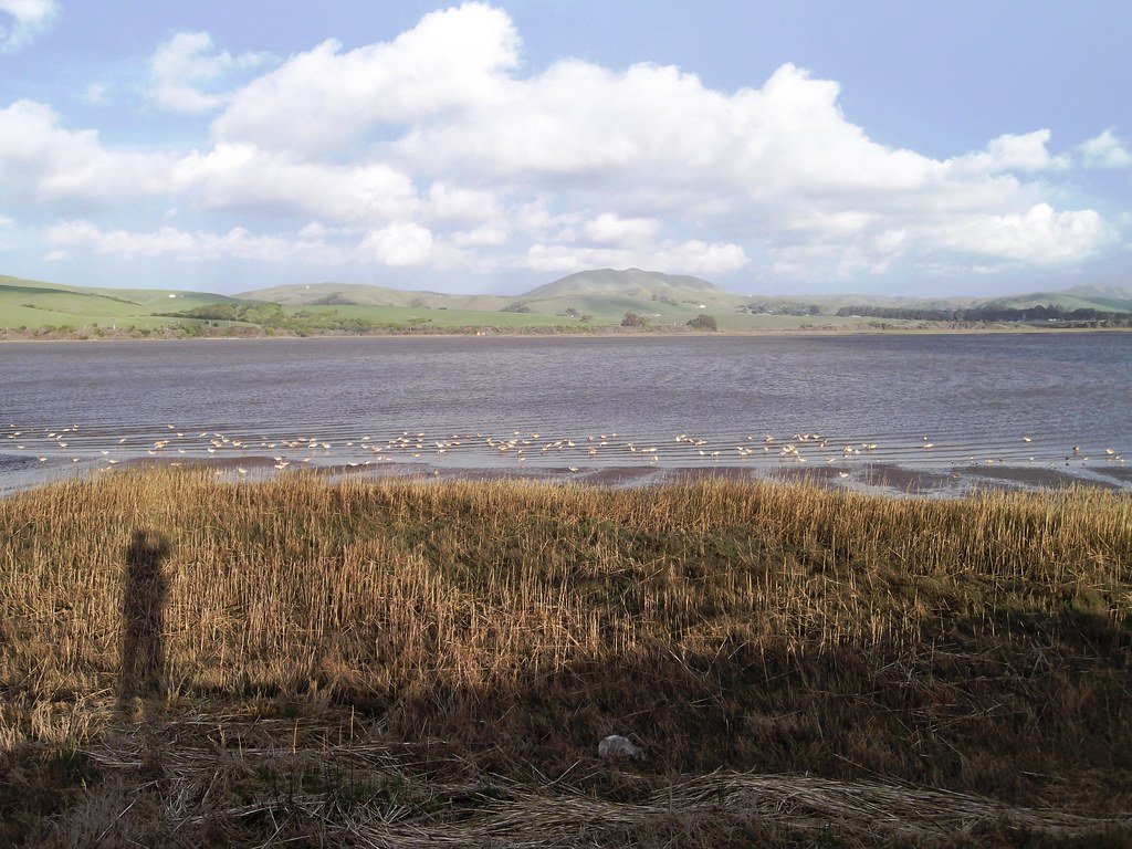
Tomales Bay
Mark West Creek
Napa River
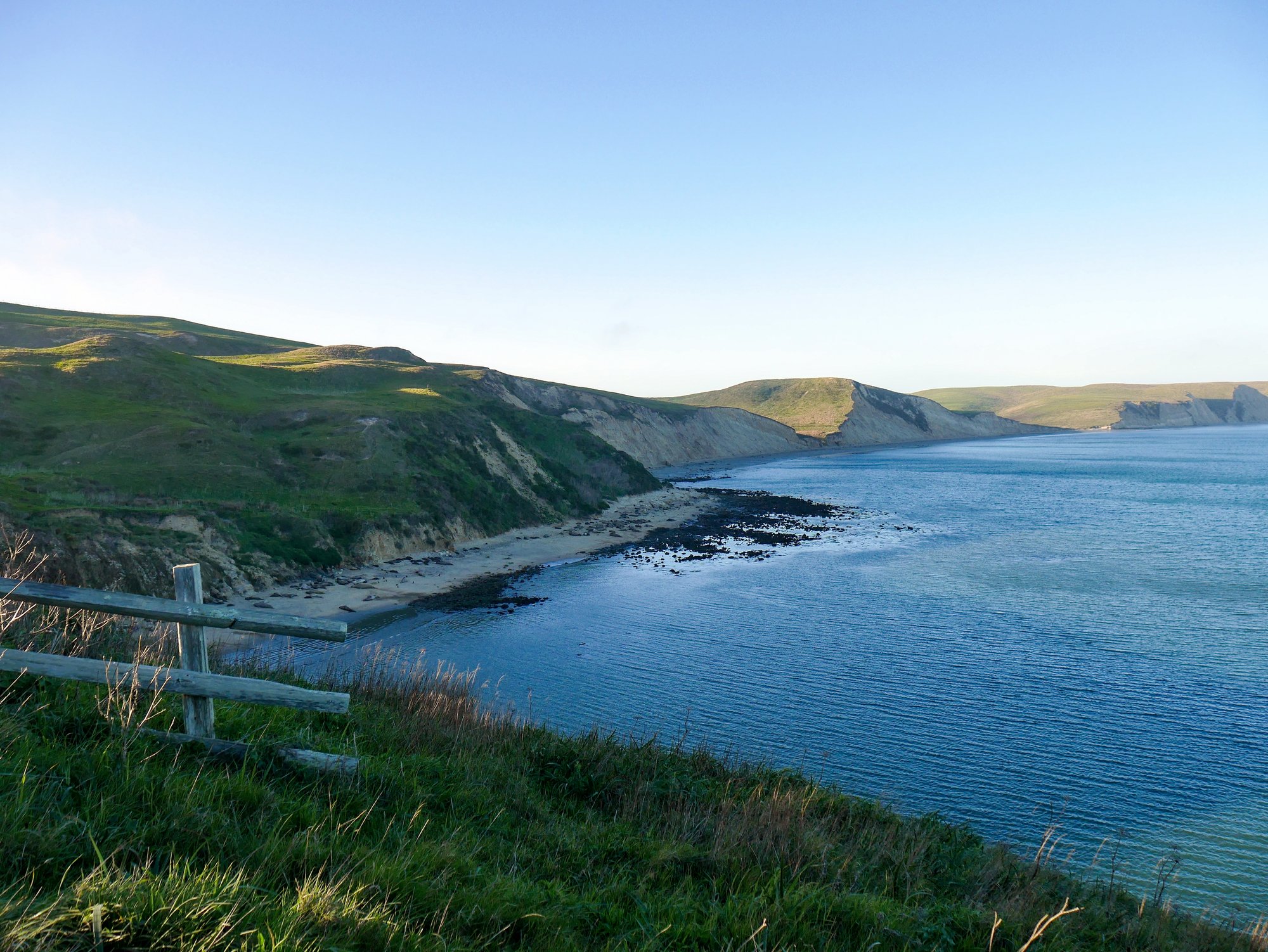
Drakes Bay
Green Valley Creek
Nicasio Reservoir

San Pablo Bay
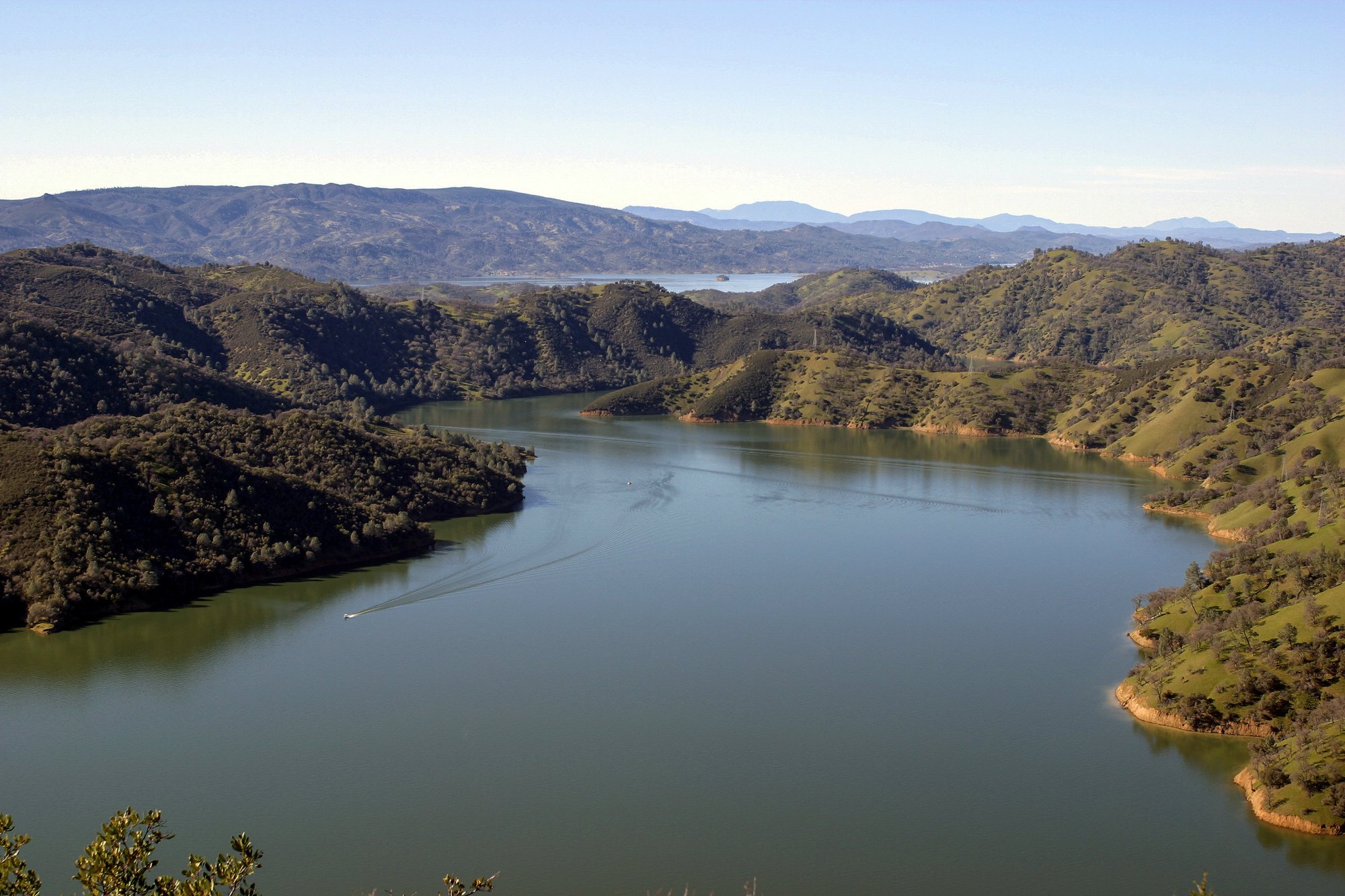
Lake Berryessa
Explore California waters
Top paddling waters
Popular Cities
Loading popular cities...
Explore near Bodega Harbor
Access points
- Porto Bodega Marina Boat Ramp
- Westside Regional Park Boat Ramp
- Doran Regional Park Boat Ramp
- Spud Point Marina Boat Ramp
- Mason's Marina Boat Ramp
- Porto Bodega Access
- Campbell Cove Access
- Lucas Wharf Access
- Mason's Marina Access
- Westside Regional Park Access
- Coleman Valley Creek Bridge
- Fay Creek Bridge
- All 19 spots
Nearby waters
More in California

Smarter Paddling Starts in the App.
Paddleways gives you everything you need to plan smarter, paddle better, and own every trip from first launch to takeout.