Putah Creek
Putah Creek
- Boat Ramps
- 0
- Access Points
- 4
- Campsites
- 9
Putah Creek is a significant waterway in Northern California, originating in the Mayacamas Mountains of Lake County and flowing approximately 85 miles southeast before emptying into the Yolo Bypass. The creek's main stem begins at the confluence of its North and South Forks near Whispering Pines, passing through Lake Berryessa and eventually reaching the Sacramento Valley.
Paddling opportunities on Putah Creek vary widely, offering experiences for all skill levels. The upper section above Lake Berryessa presents challenging Class IV-V whitewater, suitable only for expert kayakers. Below Monticello Dam, the creek offers a mix of Class II-III rapids, popular among intermediate paddlers. Lake Berryessa and Lake Solano provide calm flatwater paddling, ideal for beginners and families. The creek's difficulty ranges from flatwater to Class V, with the most technical sections found in the upper reaches. Seasonal flows heavily influence paddling conditions, with the best opportunities typically occurring in spring and early summer. Late summer and fall often see lower water levels, particularly in drought years.
Putah Creek's riparian ecosystem supports a diverse array of flora and fauna. Paddlers may encounter oak woodlands, willows, and cottonwoods along the banks. Wildlife sightings can include river otters, bald eagles, and various fish species, including rainbow trout and bass.
Key landmarks include Monticello Dam, the picturesque Putah Creek Canyon, and the historic town of Winters. The creek also flows past the University of California, Davis campus, offering a unique urban paddling experience.
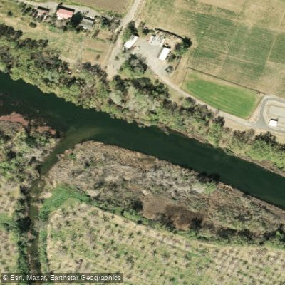
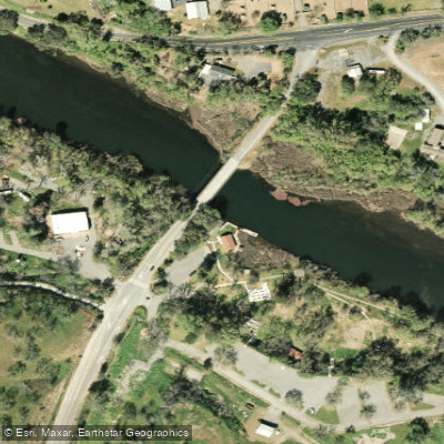
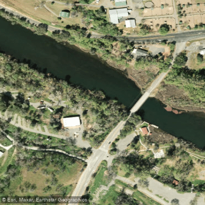
Primary access points include Lake Berryessa, Monticello Dam, Lake Solano Park, and various locations near Winters and Davis. These areas provide convenient launch sites for day trips or longer expeditions.
Historically, Putah Creek played a crucial role in the development of the region, supporting Native American communities and later becoming vital for agriculture. Today, it remains an important water source and recreational asset for Napa, Solano, and Yolo counties.
Safety considerations include fluctuating water levels, potential strainers in some sections, and the need for proper equipment, especially in whitewater areas. Regulations vary by section, with some areas requiring permits or having seasonal closures. For those seeking multi-day adventures, it's possible to combine paddling on Putah Creek with camping at Lake Berryessa or Lake Solano, creating an extended outdoor experience in this beautiful part of California.
Water access, boat ramps & amenities
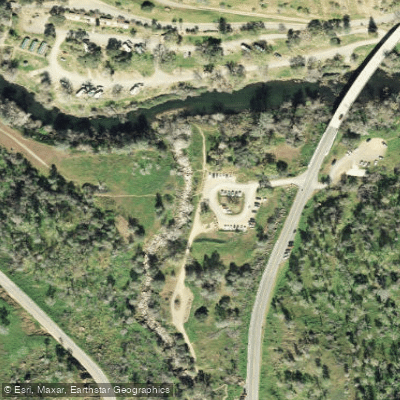
Learn how to get on Putah Creek. Uncover great paddling access points, boat ramps, and all the facilities you need for an unforgettable day on the water. Some locations shown may border or include private property. Always check property boundaries and applicable regulations before visiting. PaddleWays's Public & Private Land layer can help you plan your access with confidence.
Paddle smarter with real-time insights
Whether you're en route and conditions shift or you're looking for the best spot based on current flows, we enable you to make informed decisions on the fly.








Find Places to Paddle

Over 400,000 Places to Paddle
Every user gets free access to launch points, boat ramps, and public property parcels.


Water and weather conditions (10 day forecast)
See the best times to paddle Putah Creek and check the forecast before you go.
PUTAH C NR GUENOC CA
All Flow Stations
Paddling near Putah Creek

San Joaquin River

Sacramento River

San Pablo Bay
Russian River

Mokelumne River

San Francisco Bay
Clear Lake

American River
Suisun Slough
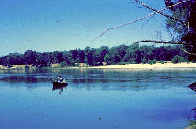
Feather River
Explore California waters
Top paddling waters
Popular Cities
Loading popular cities...
Explore near Putah Creek
Access points
Nearby waters
More in California

Smarter Paddling Starts in the App.
Paddleways gives you everything you need to plan smarter, paddle better, and own every trip from first launch to takeout.